Emblehope Moor and Tarsetdale
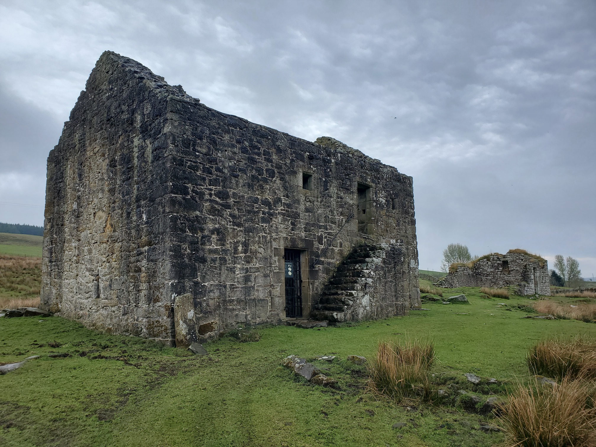
I had wanted to go and look at Bastles and things in Redesdale for a while, so today I set off from Black Middens Bastle in Tarsetdale, on the edge of Kielder Forest and Redesdale. This is an area infamous for its bloody border history, with a cluster of Bastles (fortified farmhouses) dating from the 16th and early 17th century, around the Tarset Burn.
 |
|---|
| Black Middens Bastle House |
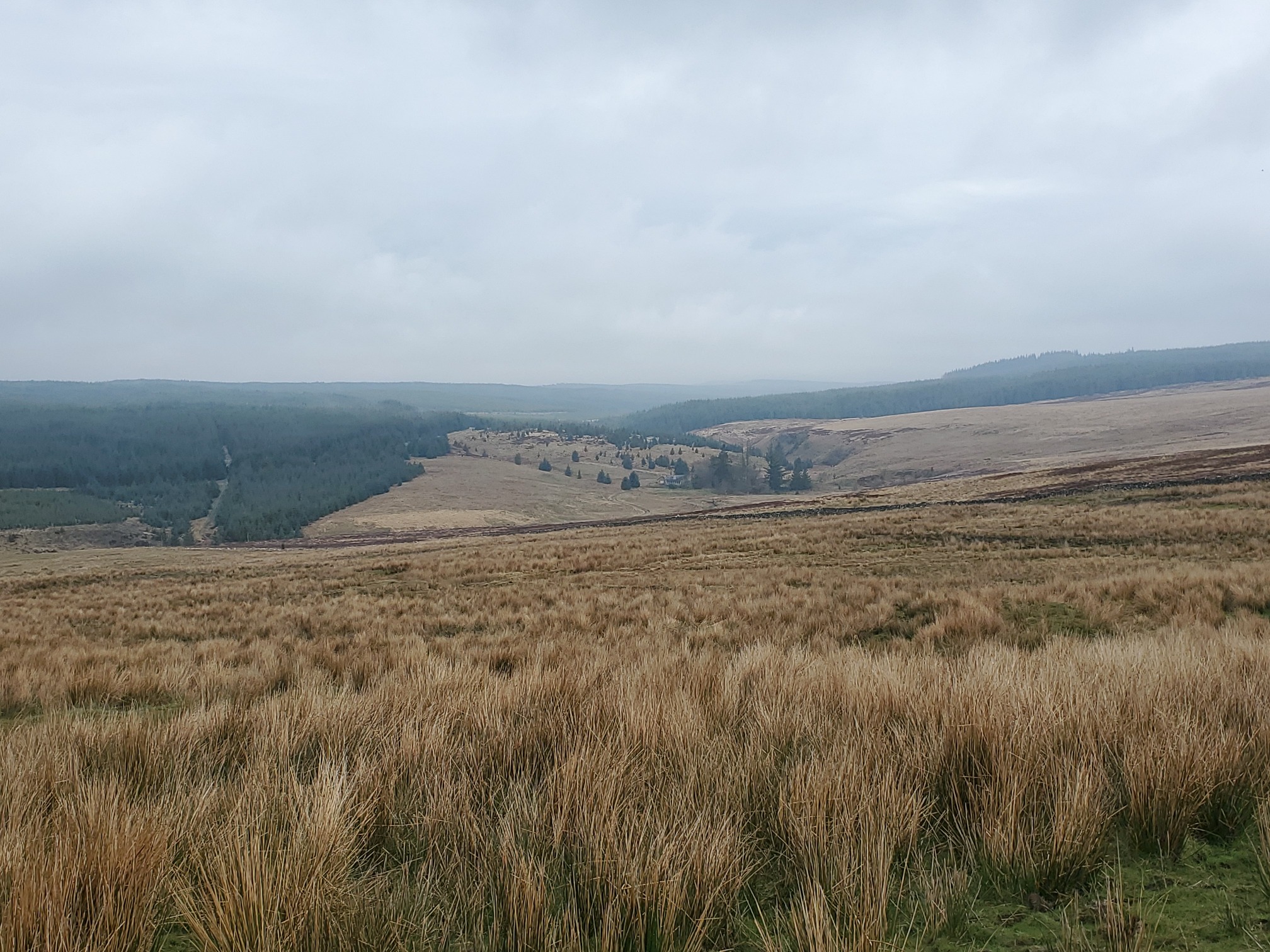
From here, I could easily walk uphill to join a bridleway along a rough road that would take me to near Ridley Shiel.
Back in 2009 I found a route in a Cicerone guide, Backpacker’s Britain: Northern England. In those days, the Forestry Comission had about a dozen “approved” wild camp sites that a few walks in this Cicerone guide used. One of these was a circular walk from Blakehopeburnhaugh, called “Emblehope Moor and the Redesdale Forest”.
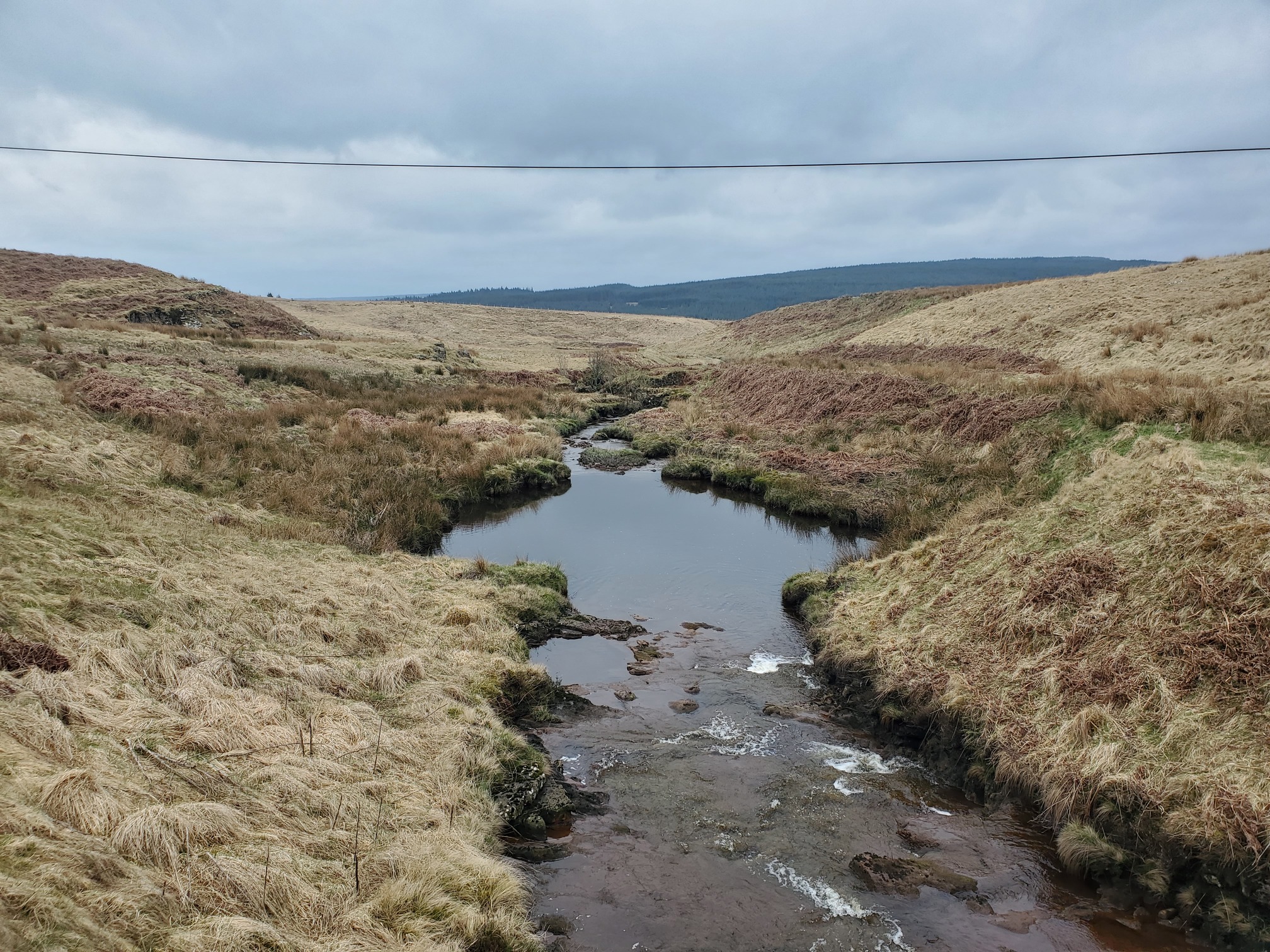
 |
|---|
| A view towards Ridley Shiel |
(Sidenote: Blakehopeburnhaugh is the longest placename in England, joint with Cottonshopeburnfoot. Both 19 letters long.. and next door to each other on the A68 near Byrness.)
At 29km, it was a great walk, written by Graham Uney, although the book is out of print now (and you aren’t allowed to wild camp in Kielder any more), so I’ve uploaded the route to OutdoorActive for historical purposes.
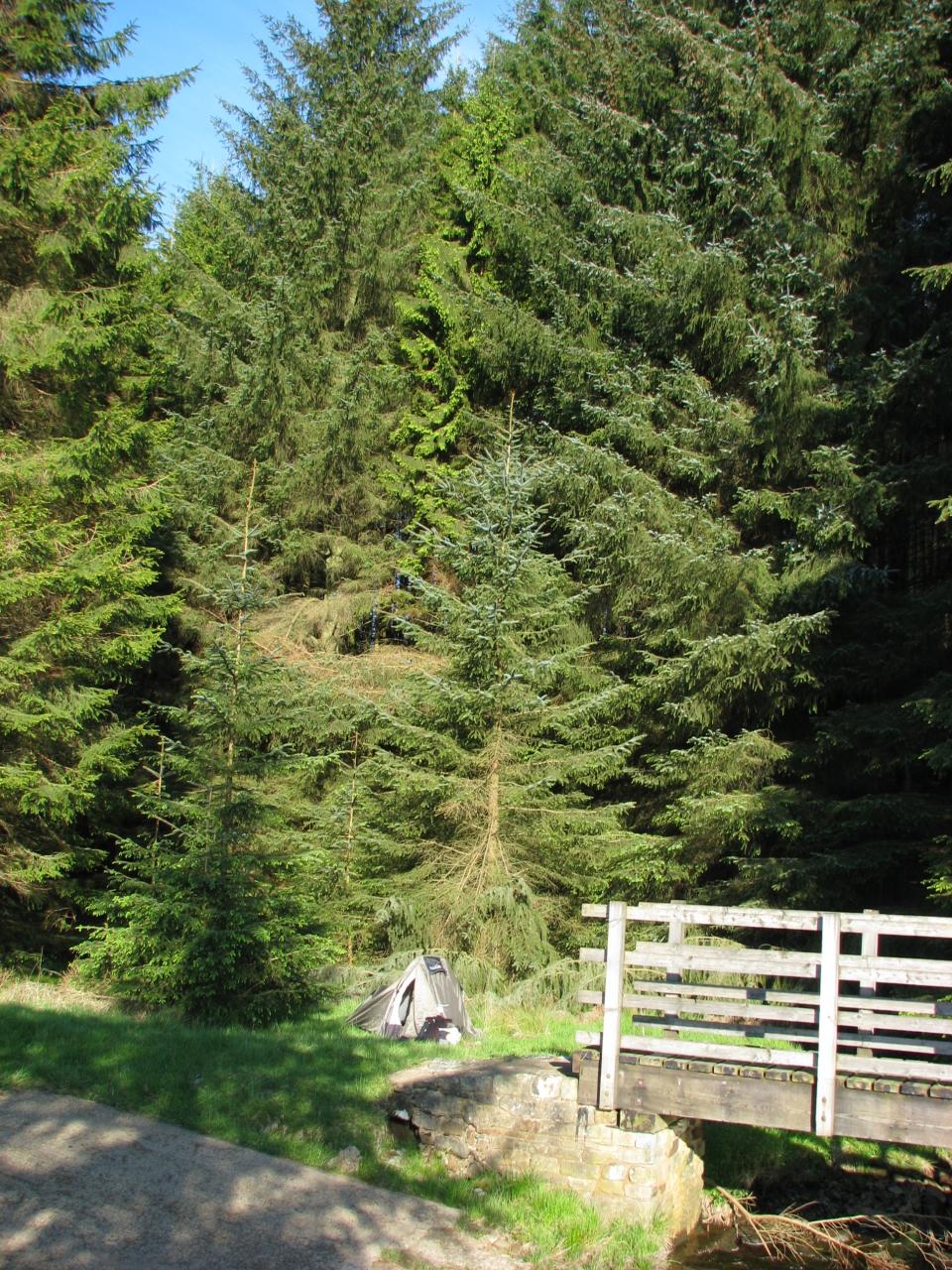
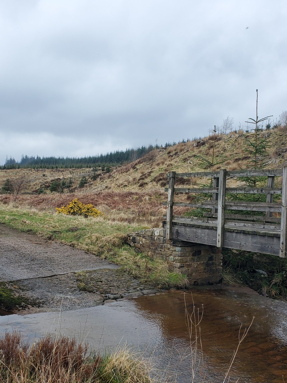
So I was quite interested to come across the same approved wild camp spot that I camped at in 2009. Back then, I had come in from a slightly different direction and got confused by exactly where the sites was. Passing by isolated Ridley Shiel, the resident called me over and offered me a cup of tea and a chat. Now the area around what was a sunny clearing 16 years ago is all felled, although the same footbridge crosses the burn by the ford.
 |
 |
|---|---|
| Wild camping in 2009 | The same site in 2025 |
My planned route was to follow a bridleway through the forestry to the first of two of the “Named Stones” I wanted to look at. I found these Named Stones on the brilliant website of the Heddon History Society, it being a list of “Named Stones of Northumberland” published in the early 1890s. Heddon History Society created a freely downloadable KML of the stones, so now you too can locate all the named stones in the county. If you want.
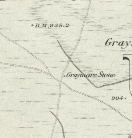
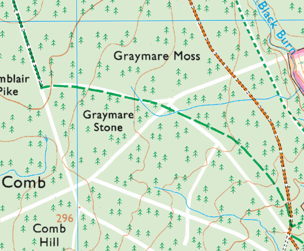
The bridleways through the forest should take me to one called The Greymare Stone, “Near old path junction on Graymare Moss, NE of Comb Hill. Now in Forest.” The old paths are gone now, (despite one being a Public Bridleway) having been planted over.
 |
 |
|---|---|
| 1st edition OS map of Greymare Stone | Modern OS of same Location |
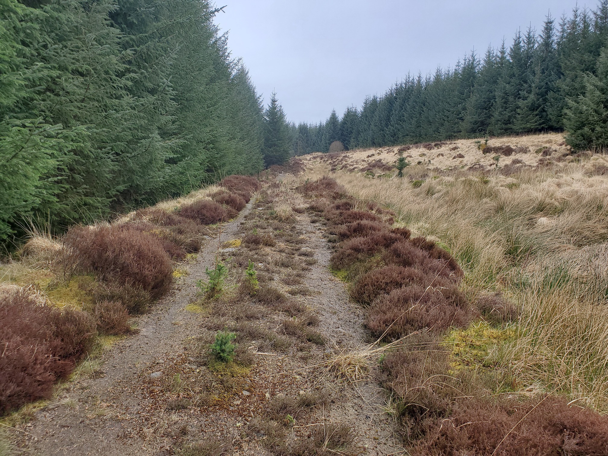
 |
|---|
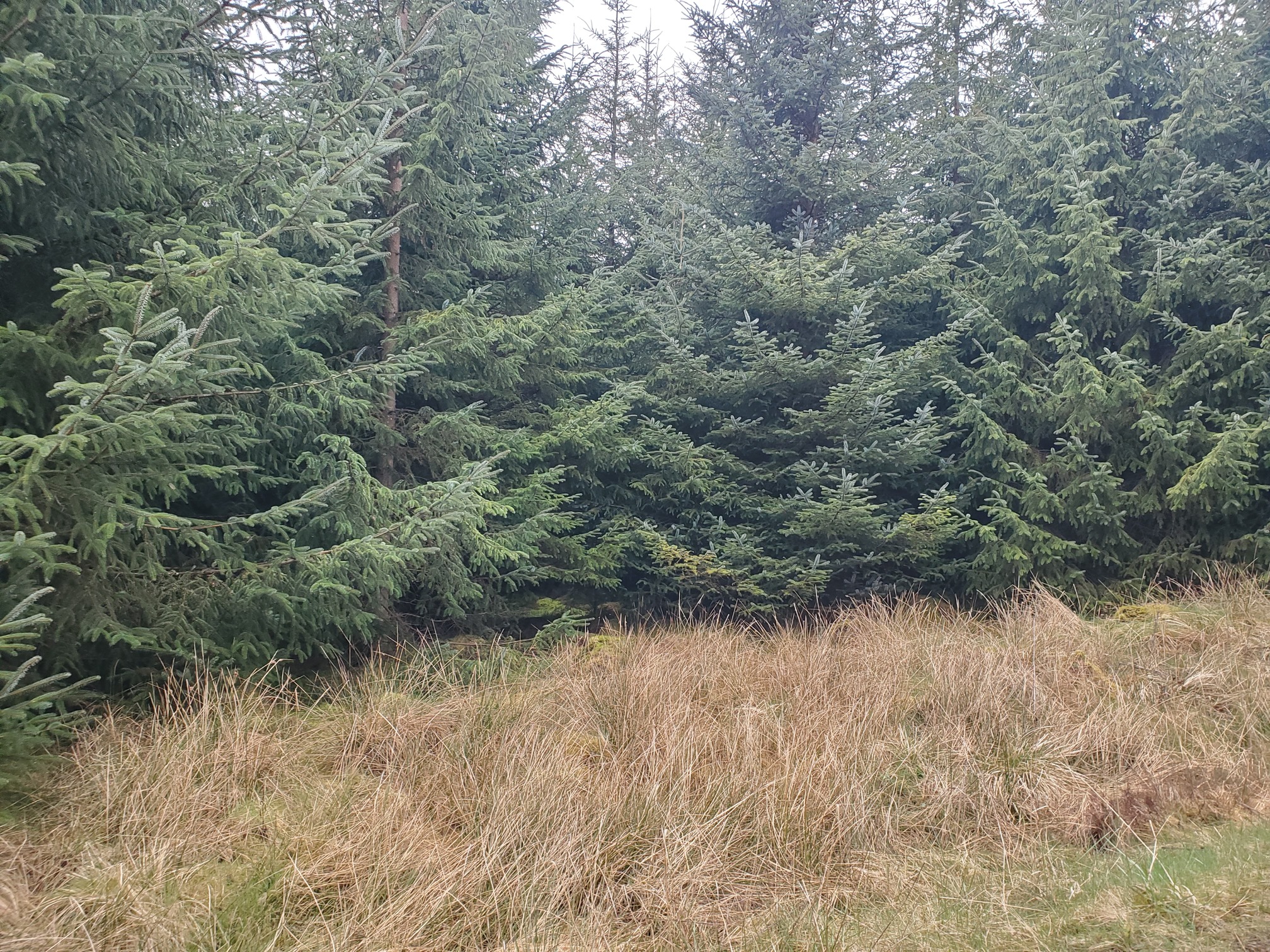
| forestry where a bridleway should be |
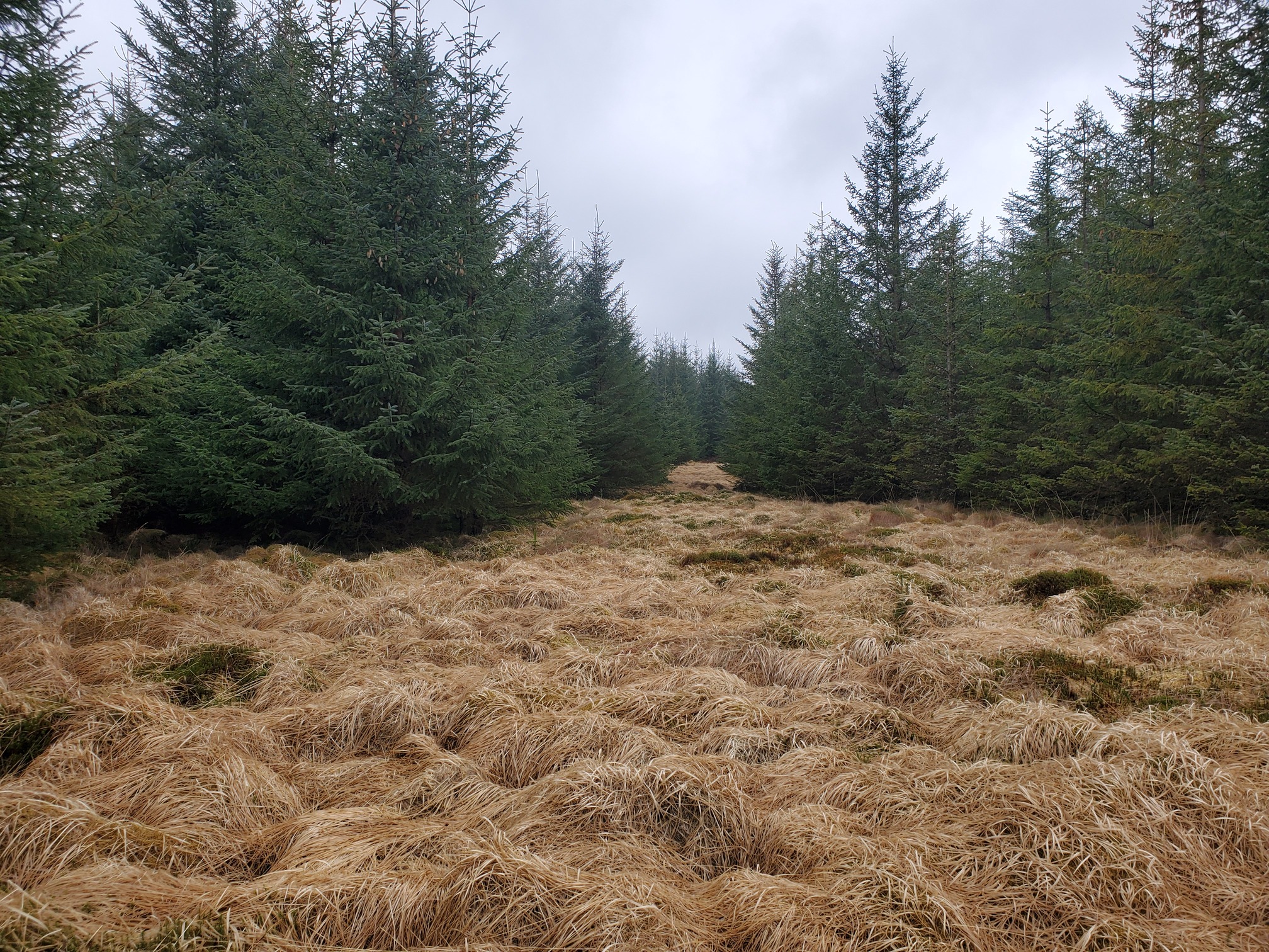
but I found a fairly open ride to trudge through
 |
|---|
..and then a bit of scrabbling around in the soggy dense forest to find the Graymare Stone itself:
 |
|---|
| Graymare Stone |
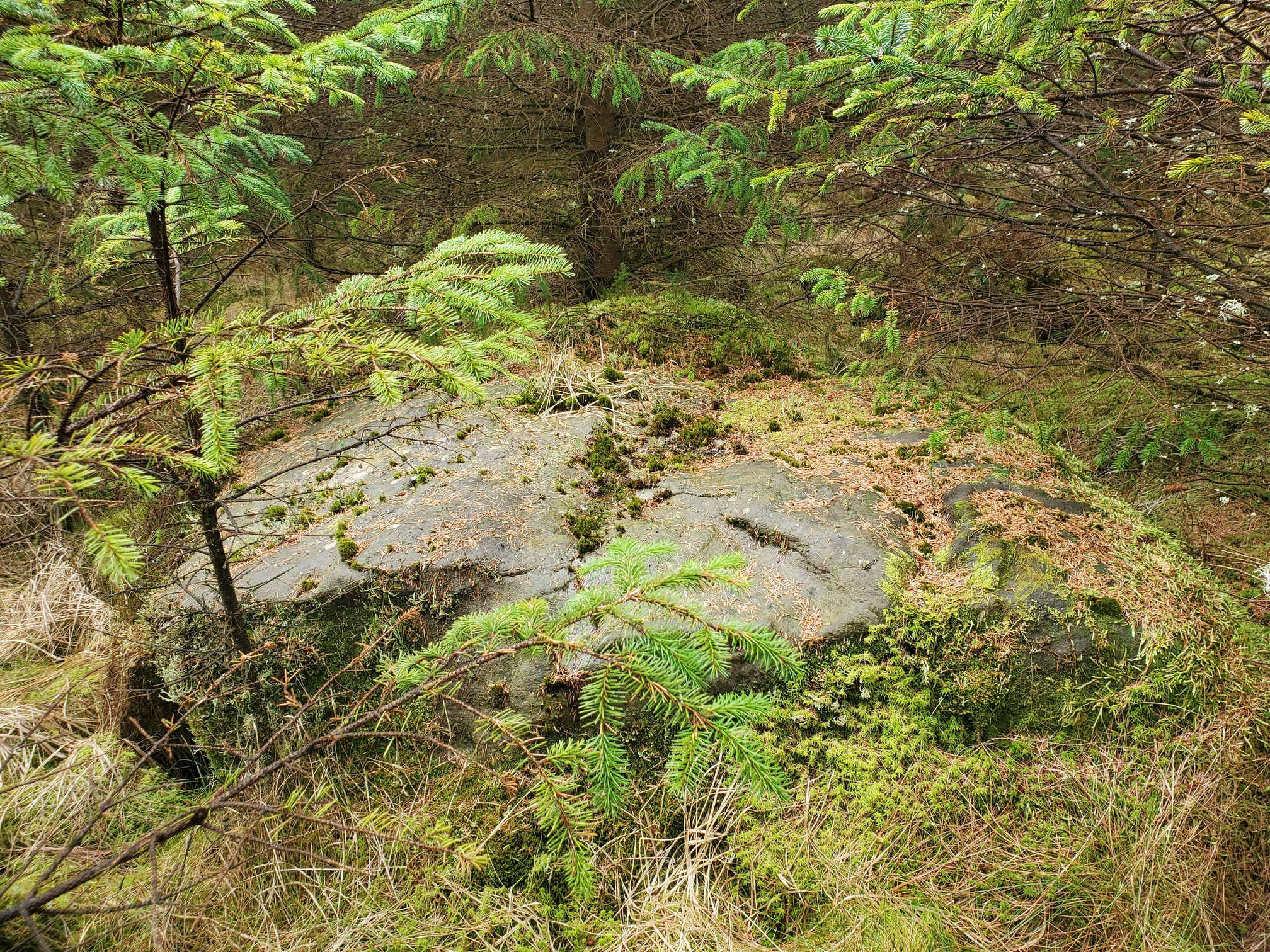
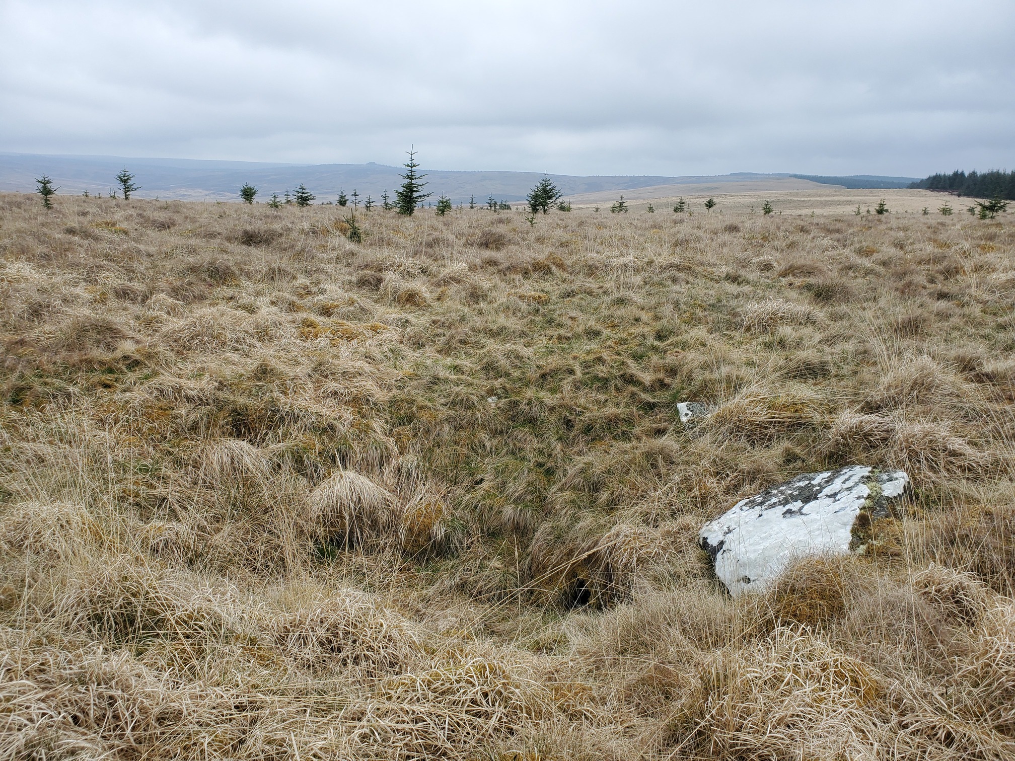
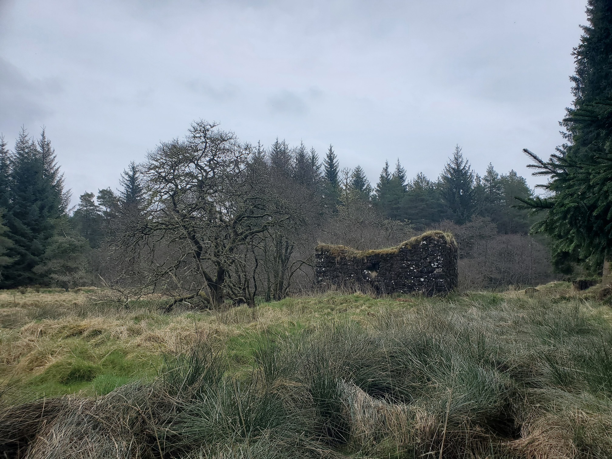
Worth it. From here I wanted to follow the bridleway up onto Emblehope Moor, which involved more negotiation of thick forestry until I could find rides to walk down, then finally a last push through about 200m of dense, young plantation to reach the moor. Up here is the other named stone I wanted to see, “The Fairy’s Kirk”. A similar size, maybe 2m at it’s broadest, it lies in a suspicously conical depression, like a sinkhole or a pit.
 |
|---|
| The Fairy’s Kirk |
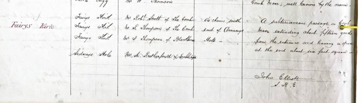
A search in the Northumberland Name Book gives this unexpected info:
 |
|---|
| The relevant part from the Northumberland Name Book |
List of Names as written on the Plan: Fairys Kirk
Various modes of Spelling the same Names: Fairys Kirk
Authority for those modes of Spelling: Mr Robt Scott of The Comb, Mr R. Thomson of the Comb, Mr J. Thomson of Blackburn
Situation: 56 chains south east of Dummy’s Hole.
Descriptive Remarks, or other General Observations which may be considered of Interest: A subterraneous passage on Comb Moor extending about fifteen yards from the entrance and having a space at the end about six feet square.
If you know Northumberland, this sounds a lot like the Cateran Hole! I wonder if it is worth investigating?
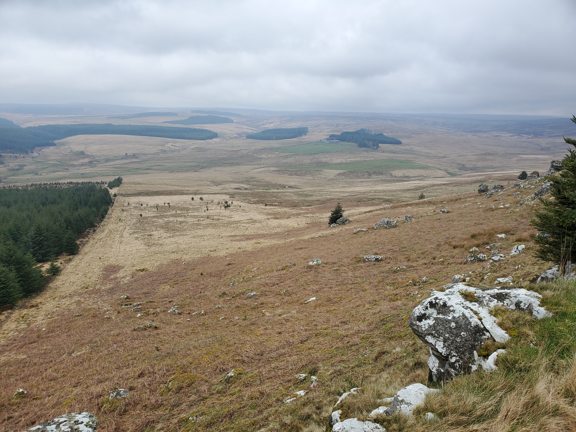
Back to the walk, I had now reached Emblehope Moor, which is a huge and very remote expanse of moorland bordered almost entirely by Kielder Forest. After appreciating the view from Whiteheugh Crag, I skirted round the edge of the moor then followed the road to Emblehope Farm and finally south to re-enter the forest
 |
|---|
| Emblehope Moor, the farm is in the centre distance near the greener in-bye fields |
 |
| Tarset Burn at Dummy’s Hole |
 |
|---|
| Back into the forest |
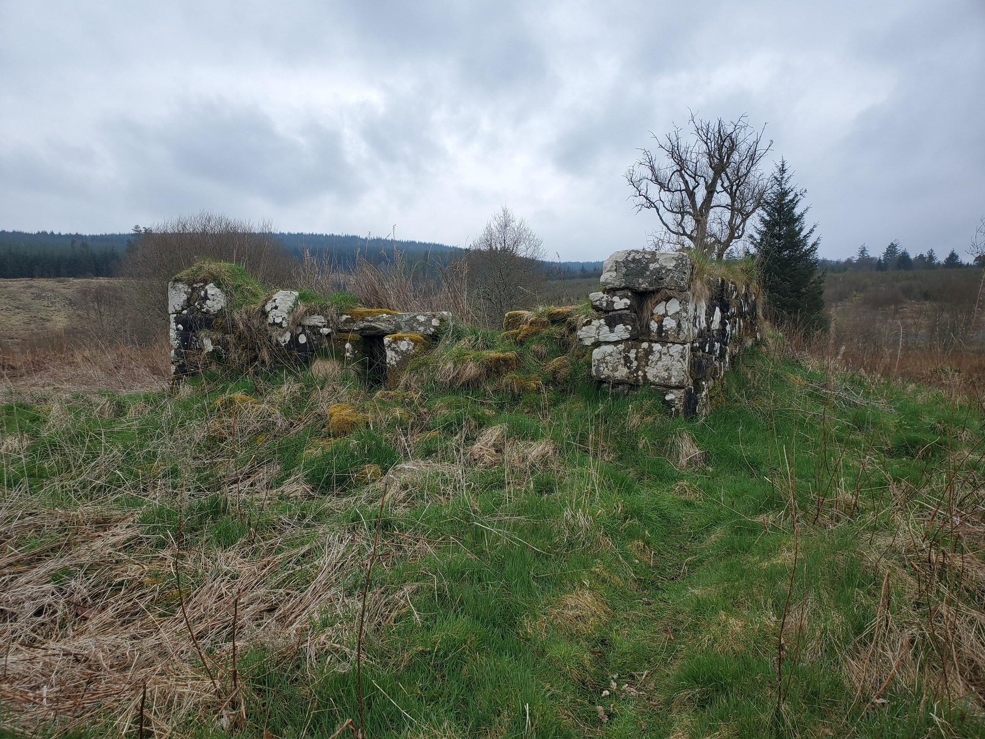
This time I stuck to the forest tracks rather than try to follow the non-existant bridleway. Eventually I found my way to the start of the Tarset Bastle Trail. You will notice the website says “trail closed”. There are no signs anywhere on the ground to explain this, so most of the route involved clambering over fallen trees and wading through knee-deep bog. But it also involved looking at Bastles, who doesn’t love a Bastle? Here’s Bog Head Bastle
 |
|---|
| Bog Head Bastle |
Back in 2009, the intepretation boards along the trail featured a legendary story of 2 of the men who lived in these Bastles - Corbit Jack and Barty Milburn. The story recounted here that Scottish thieves rode to Barty’s farm at Bog Head and nicked his sheep. When he woke up the next morning and discovered his sheep gone, he called over his neighbour Hodge Corbett aka Cobit Jack, who lived at Shilla Bastle. They set off after the rustlers, but lost the trail near Leathem just over the border. Rather than return empty handed, they just pinched some nearby sheep instead, but were caught up by a pair of angry Scotsmen at Chattlehope Spout where a fierce hand-to-hand battle ensued. Corbit Jack was killed and Barty wounded in the thigh, but he managed to slay the two Scots. He slung Corbit Jack’s body over his shoulder and headed for home with the stolen sheep, placing Jack on his doostep at Shilla before going home for the night. Later, recounting the fight to his friends, Barty explained how he decapitated one of them and “His heid span alang the haither like an onion!”
I cannot see the word “bastle” without thinking “His heid span alang the haither like an onion”. Today, the newer information board just has a load of actually quite interesting archeological and historical facts about the ruins.
The trail, apart from the bits that were covered with fallen trees, was really lovely, along the river and then up to Shilla Bastle on the hill before reaching the private houses that are the sites of two more bastles, Waterhead and Comb.
 |
|---|
| Shilla Bastle |
From here I could continue on this side of the river to get back to Black Middens Bastle, but given the state of the rest of the trail I had zero confidence that the footbridge still existed, so I just followed the road back.
This was a really great walk, and would be much improved if you don’t go offroading into thick forestry looking for novelty rocks, and if the Forestry Comission ever decide to sort out the Tarset Bastle Trail so you can actually follow it. As it is.. I don’t recommend, but Fairy’s Kirk might be worth some further investigation.
| Map of route taken |