Coquetdale Whisky
In upper Coquetdale in the remotest part of Northumberland, evidence still remains of illicit whisky-distilling in the 1700s, supplying illegal drinking dens. Cut off from excise men by the sheer remoteness of the area, shepherds and farmers, as well as cattle-drovers and smugglers heading down from Scotland, drank at unlicenced houses at Slyme-foot and Chew Green along the River Coquet, high in the Cheviot hills. These inns were supplied by illicit stills hidden deep in even more remote tiny valleys, and amazingly there’s still evidence of them on the ground.
The Northumberland National Park comissioned a report into them, which is still availble here, that goes into great depth on the history of whisky (and beer) in this area. Otherwise, I couldn’t find much online other than a few pictures on Geograph so I thought I’d head out for a look.
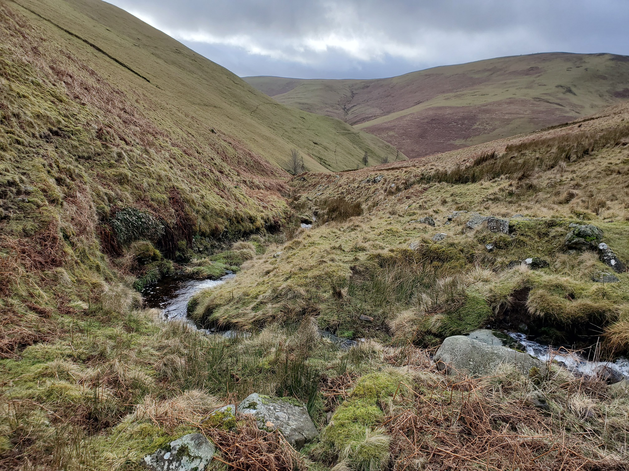
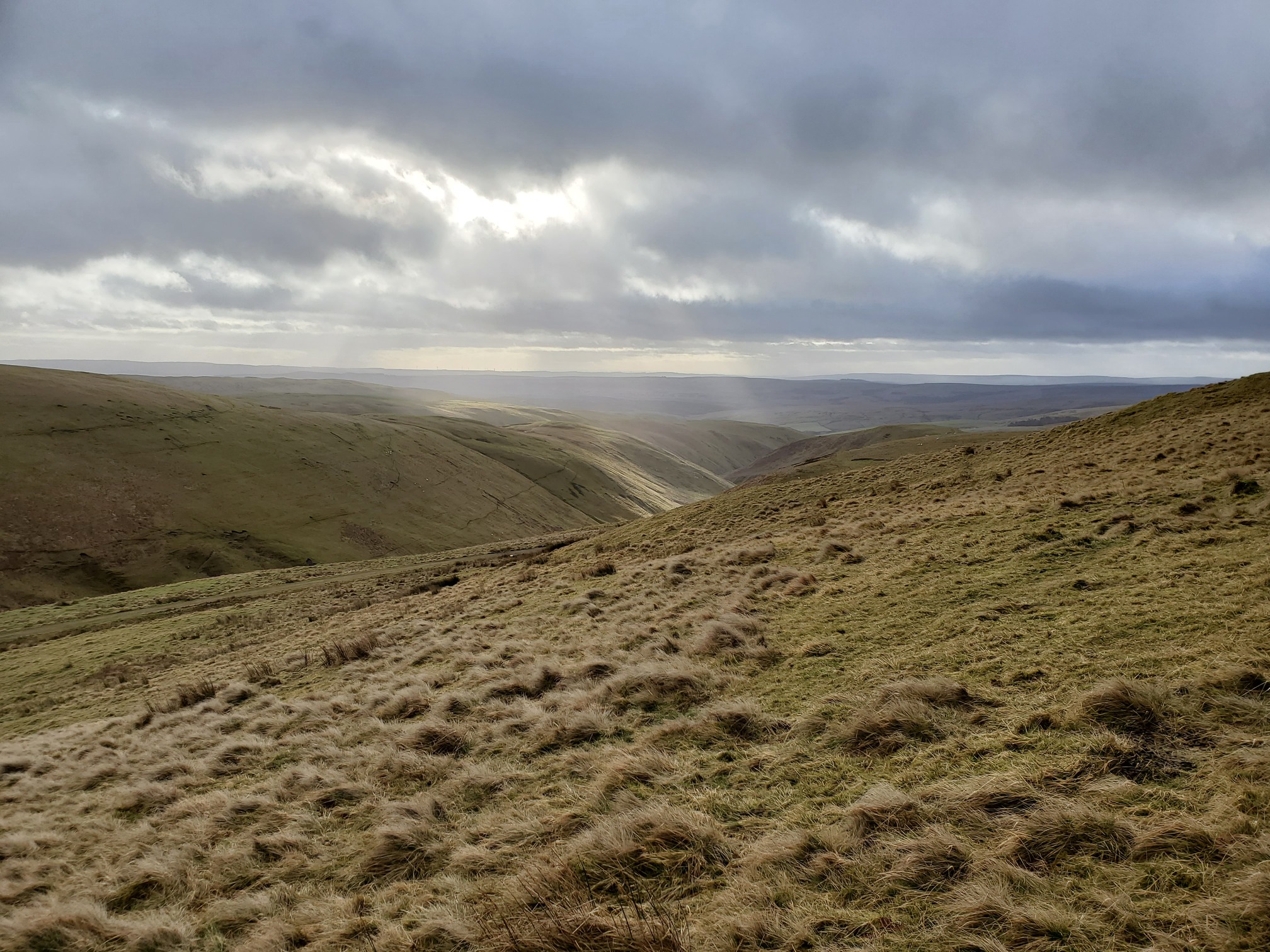
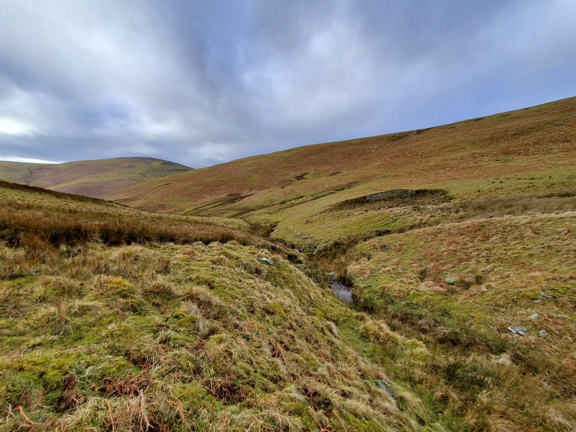
This area is wonderfully desolate and remote, and after following the Wholehope Burn for about 4km,
I was delighted to come across much more intact ruins of the still than I had expected:
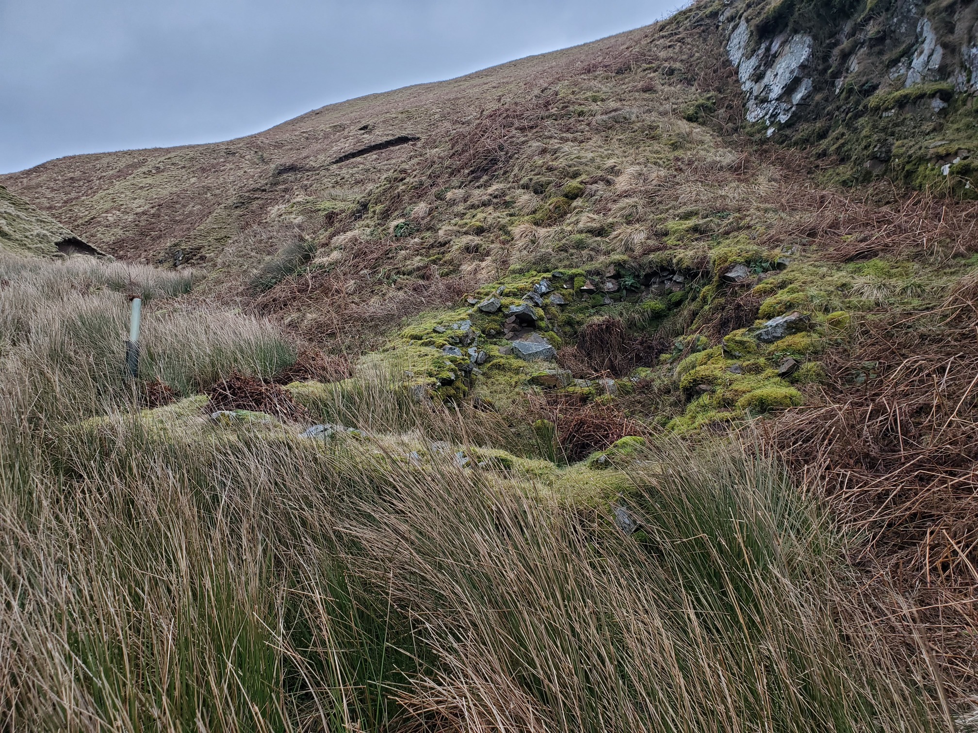
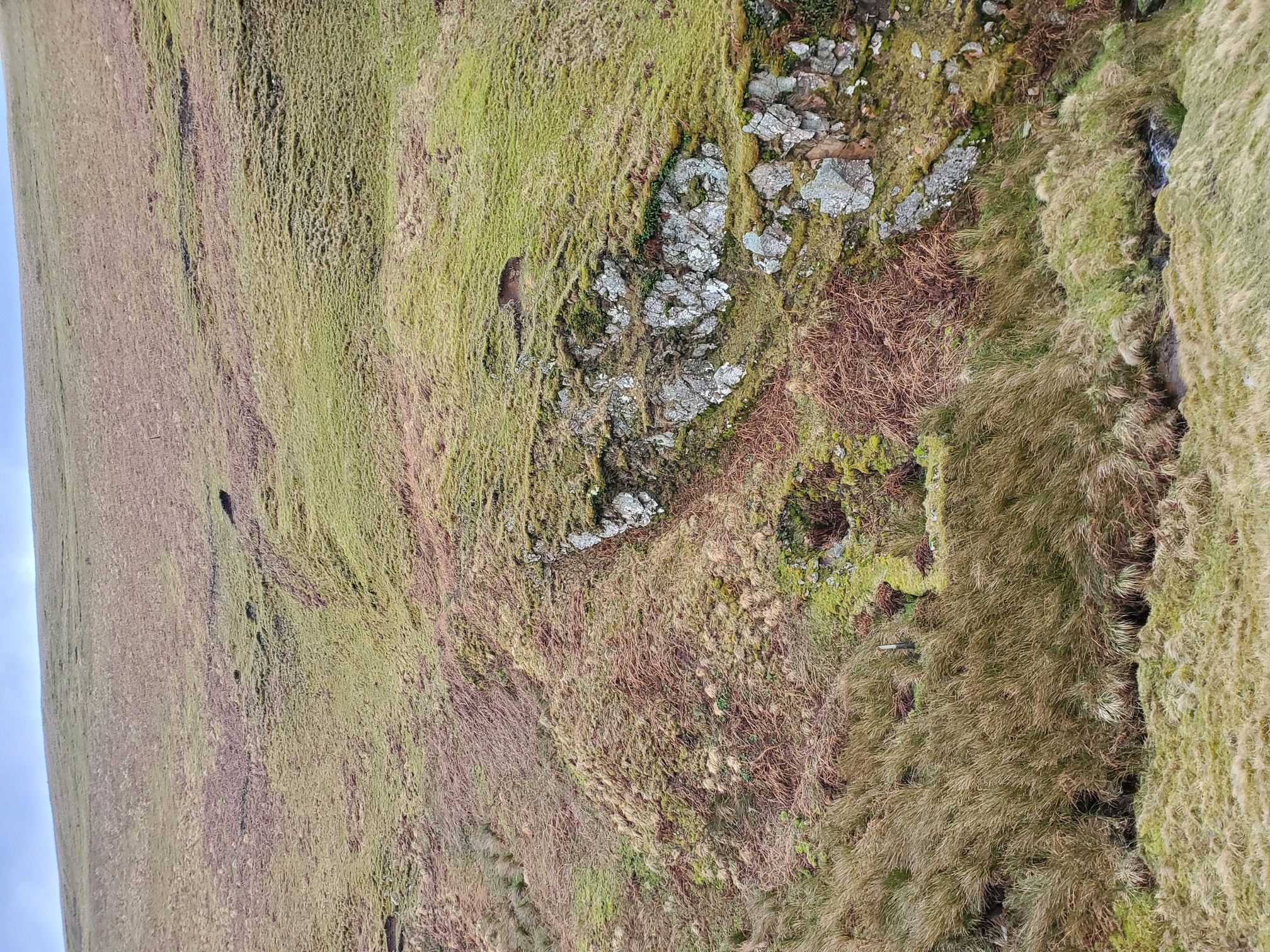
You can still clearly make out the circular area, and an adjoining squarish building; an archeological dig published in 1960 goes into great detail (and you can download here), that this would have been the malting kiln. The grains were heated in warm water here and then spread on the floor and allowed to germinate. Three more buildings, not obvious on the ground now, lay to the north of here where the rest of the distilling process took place. It’s easy to imagine the distiller here, tending his pot, or a shepherd stopping by for a dram.
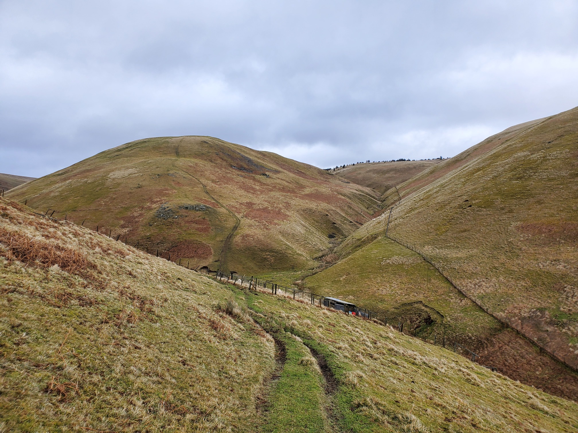
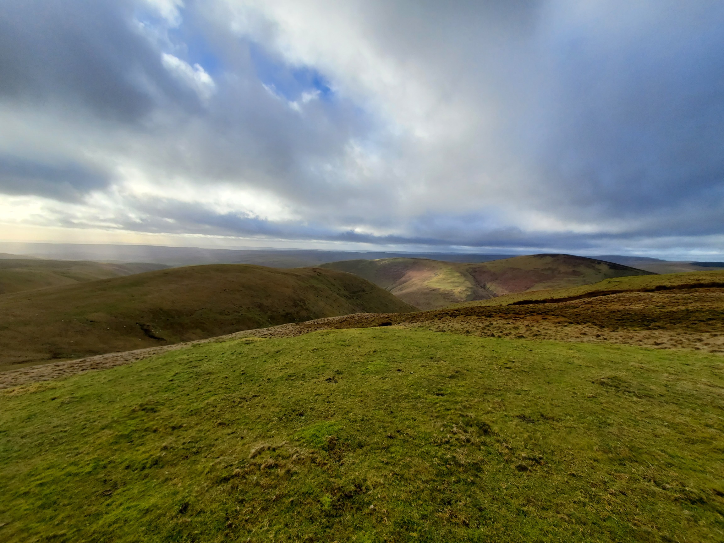
From here, I climbed up Saughy Hill for some typically Northumbrian Views:
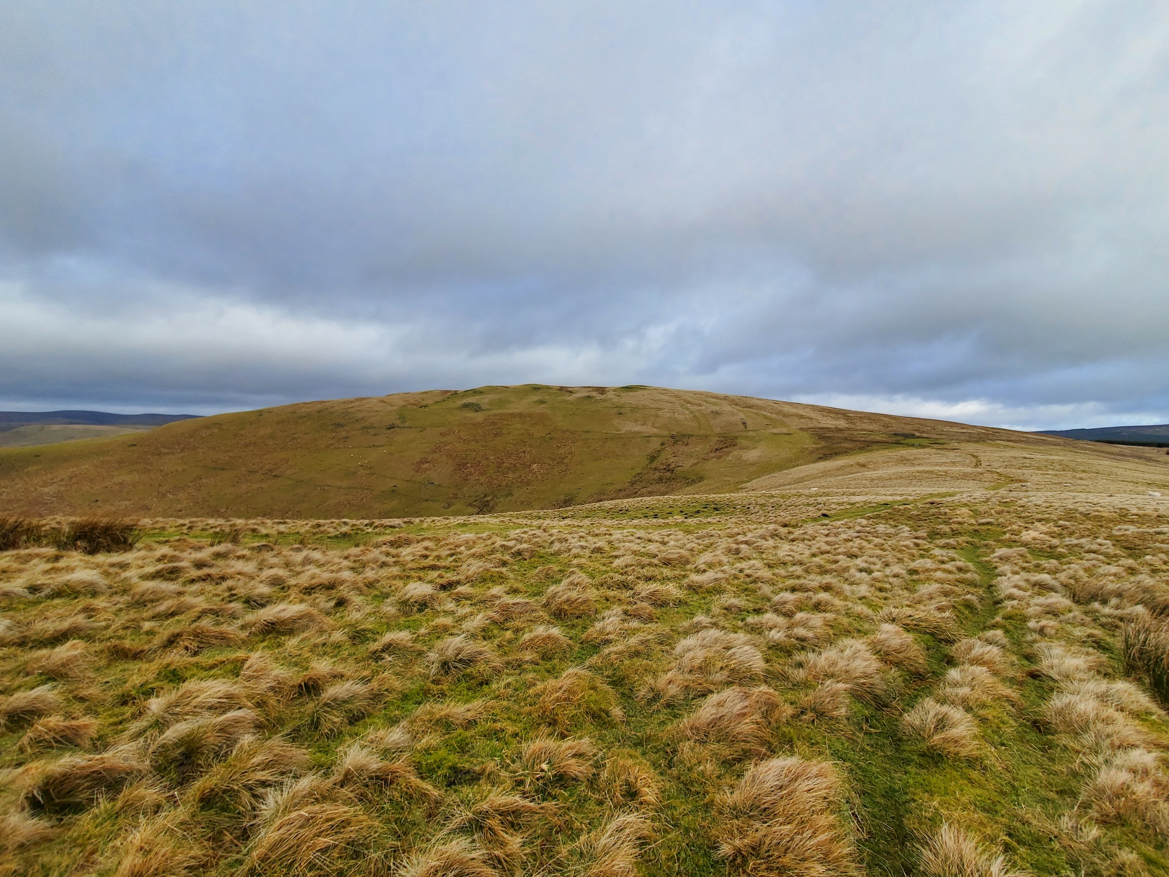
And then, because I was also using this walk to practice navigation, I got round the lea of the summit out of the wind and checked against a map to find my way down the other side to a stell on Midhope Burn, near the site of another still:
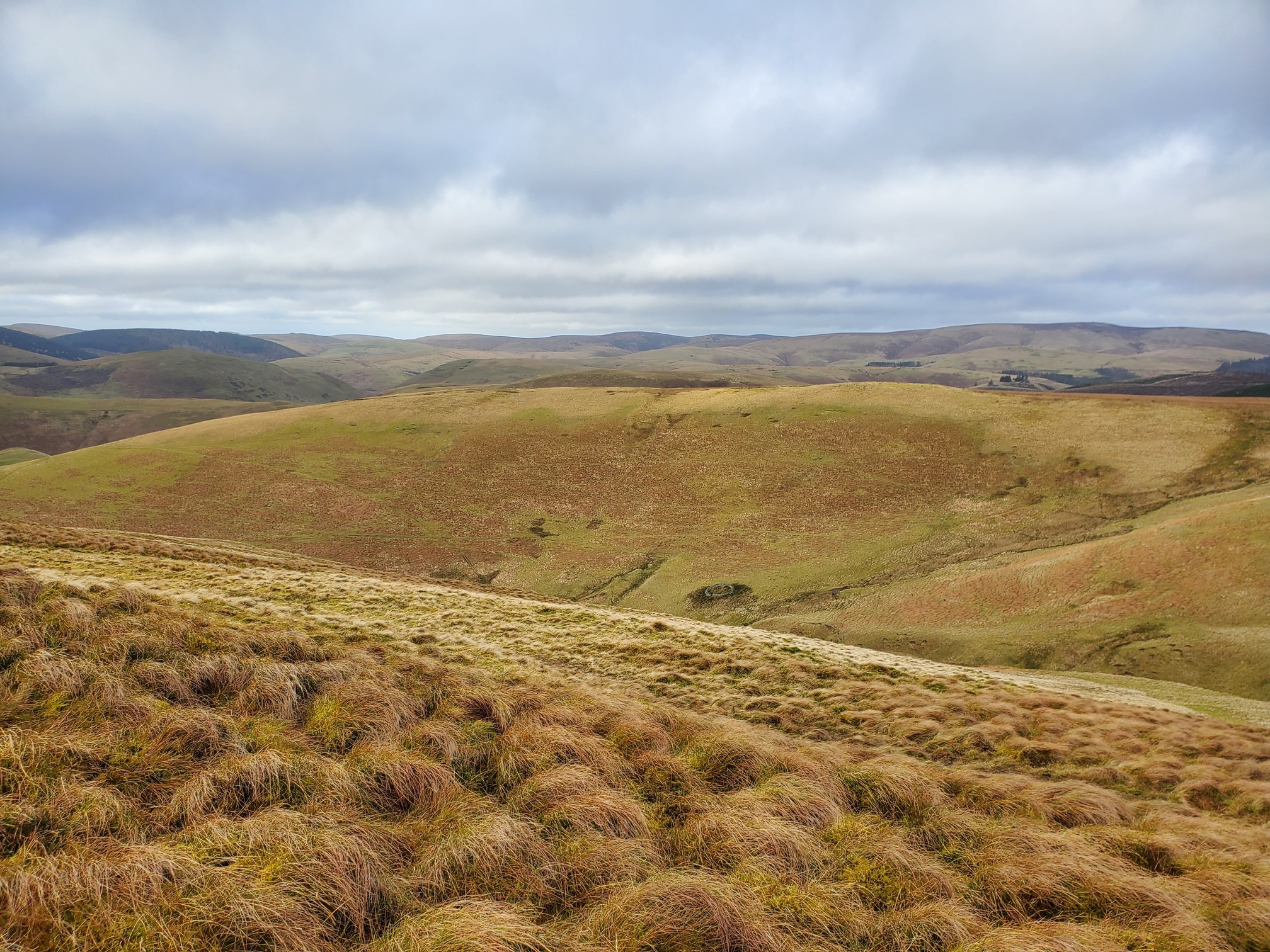
Unfortunately, I couldn’t find any sign of a still along this burn at all. The paper I linked to earlier, “Remains of illicit distilleries in Upper Coquetdale” suggests that the still here was washed away by a flood caused by a “great waterspout in 1893”.
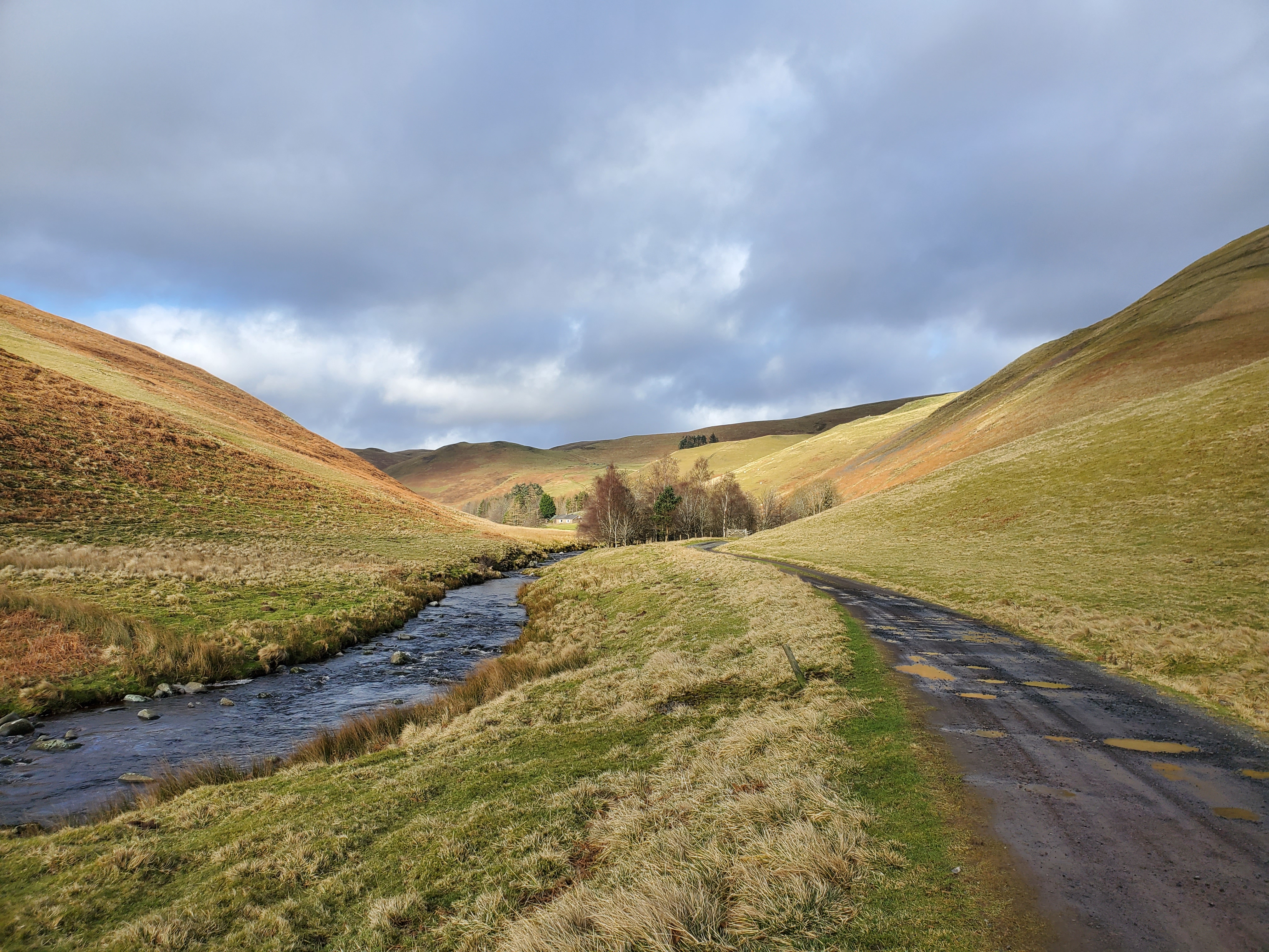
I followed the burn back down to Batailshiel Haugh, which turned out to be a nice little bungalow. Given that we are about 3 miles up the valley from an already incredibly remote valley, this surely must be one of the most isolated houses in England? Although, given the quality of the track to it, I think it must be military accomodation rather than someone’s house. What a spot though.
This was a really great walk, and I even managed to navigate without using a gps and not get horribly lost. I’ve written up the route on my OutdoorActive page, if you are interested.
For a bit more atmosphere, here’s a poem in the Coquetdale accent, The Mists o’ Barralaa’, by James Tait. It is in Northumbrian - listen for the infamous “Northumbrian Burr” as the R’s are rolled. The words are at the bottom of this BBC page.