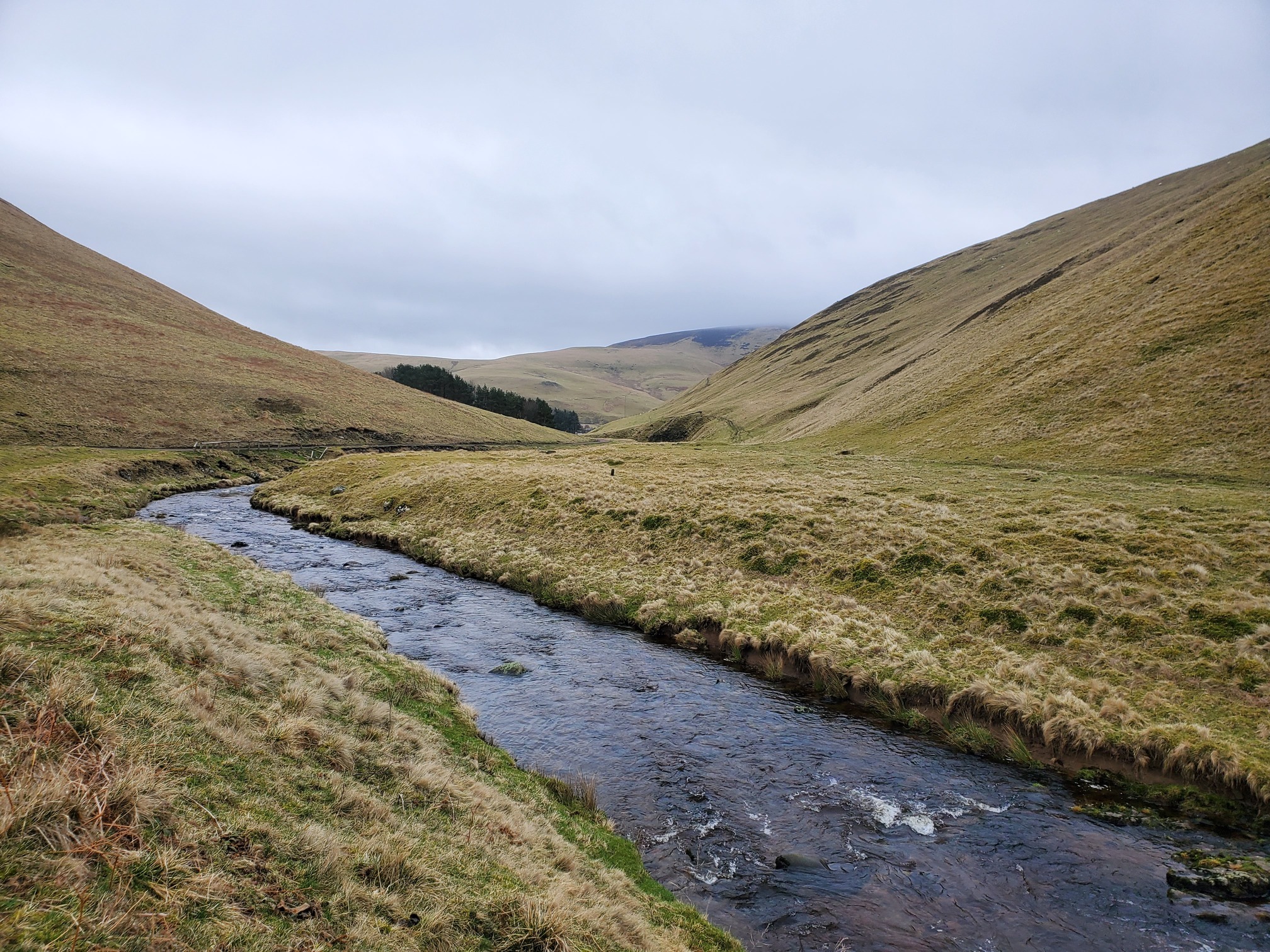
Blindburn Still
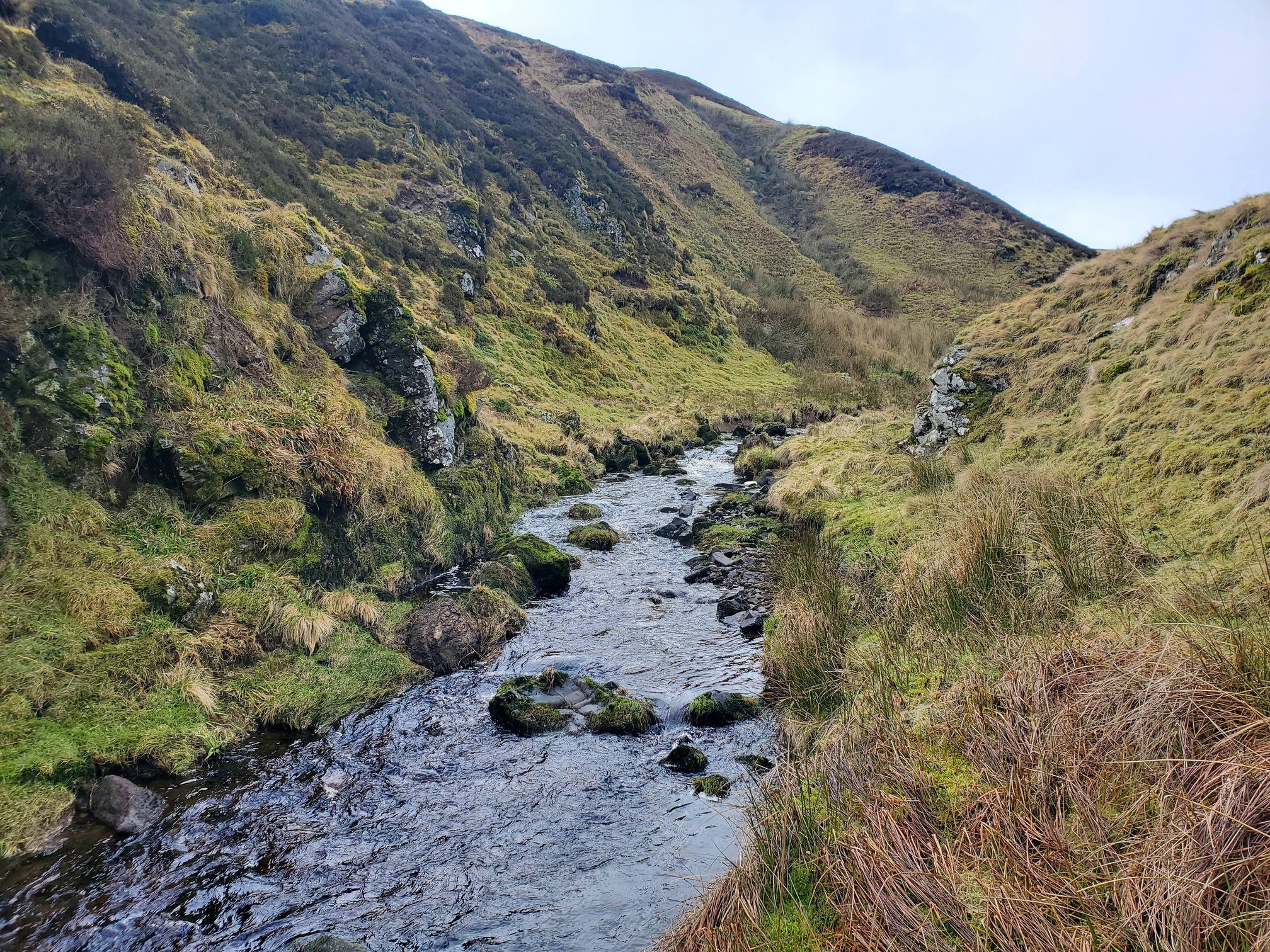
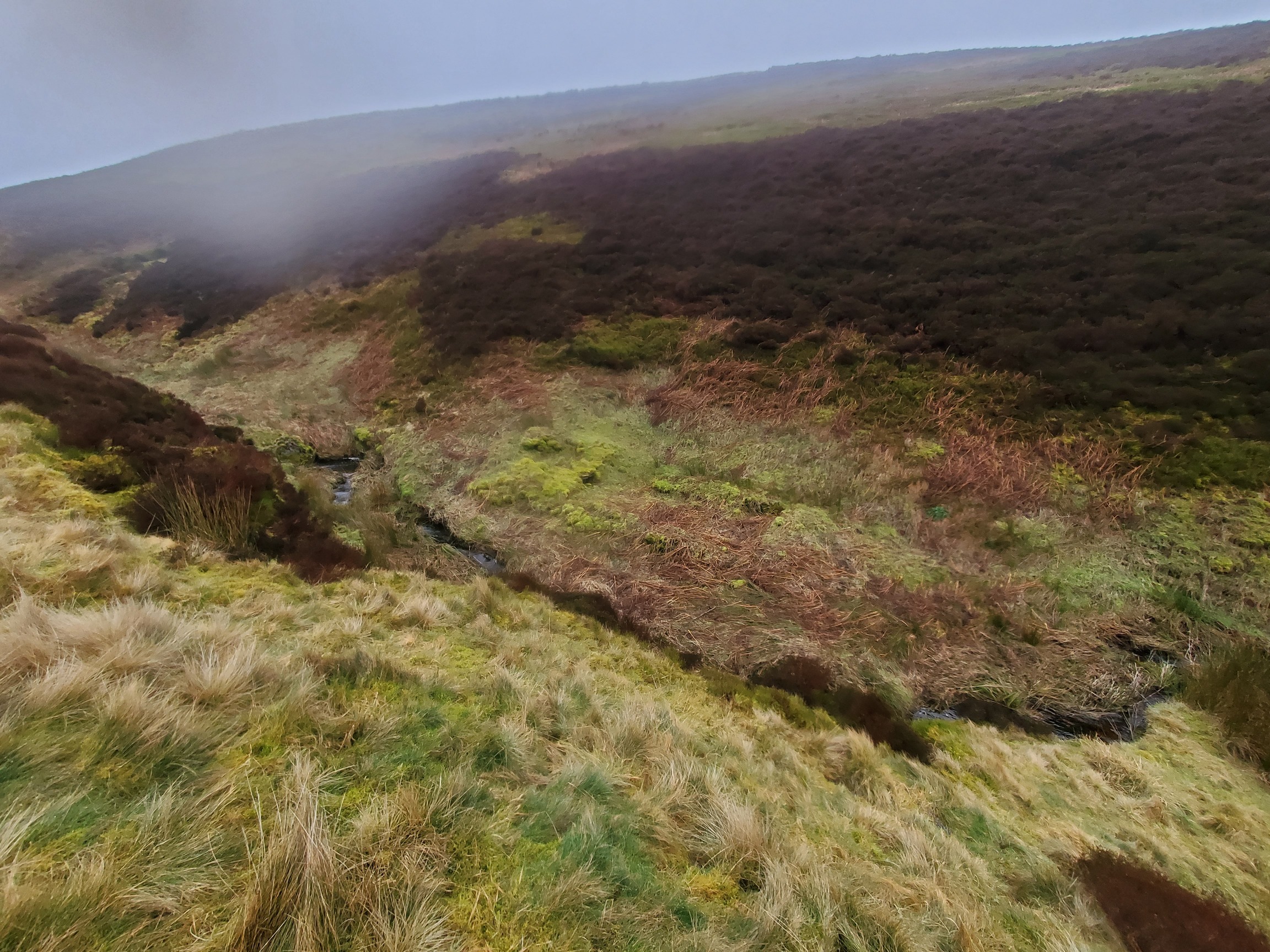
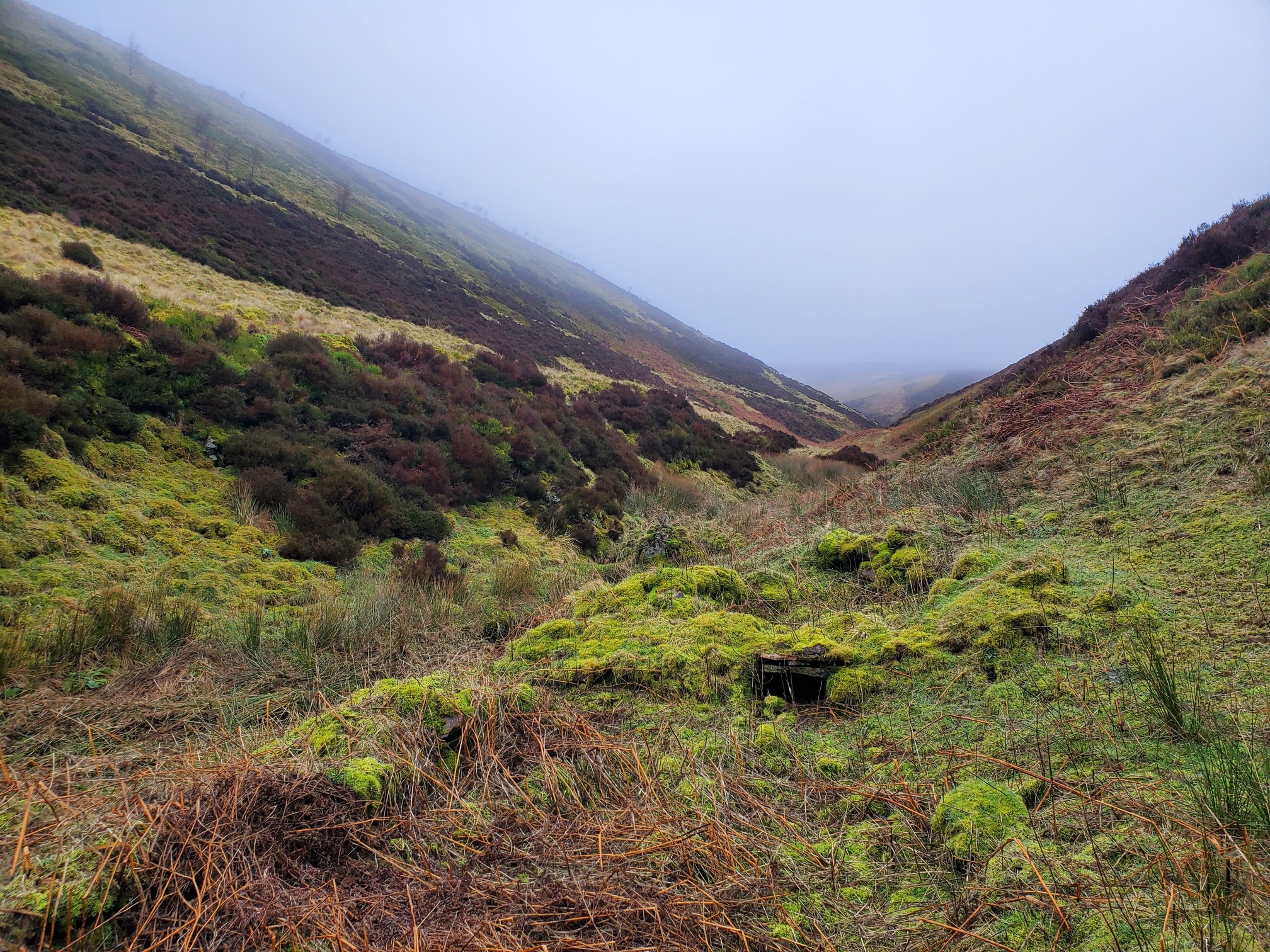
Back into Coquetdale to find the Blindburn or Beefstand Still. Very wet underfoot as I followed the Blindburn from the farmhouse up to find moss-covered remains of this still, said to be one belonging to an infamous smuggler called Black Rory. You can make out where the still would have sat, and the low gap for the fire, at one end of a rectangular room.
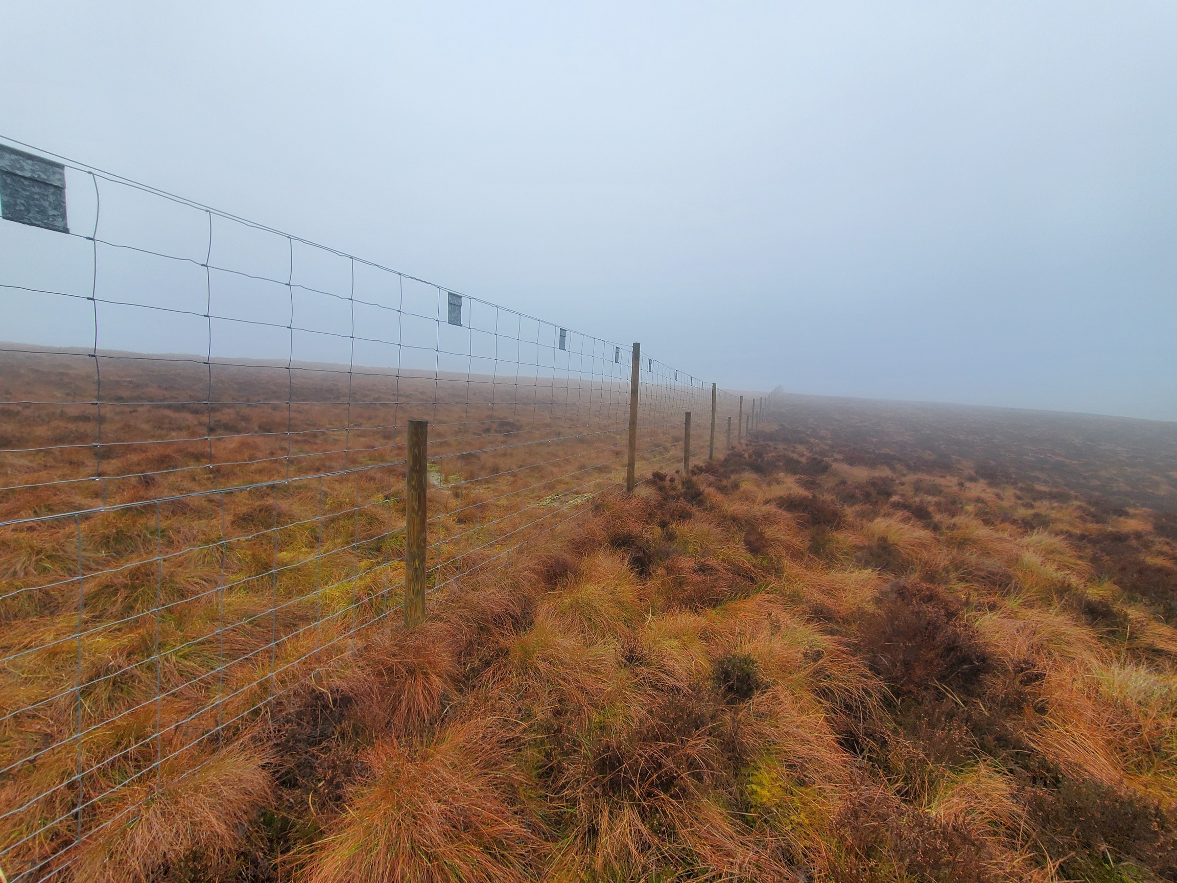
From the still, I followed the burn up to the Border Ridge, only to realise the fenceline on the map was a tall deer fence.. so much for open access!
With no idea where (if any) gate might be, I luckily found a knee-high gap to squeeze under the fence right where I wanted to walk.
At the top of the hill is the Border Ridge, where the paved 267-mile Penine Way runs. The rickety old fence on the right of the picture marks the border between England and Scotland.
Just as I was wondering about hopping over to look at a trig point, I spotted some Cheviot Wild Goats looking dramatic in the mist.
These handsome lads are descended from the first goats brought over in the Neolithic. I read a great story in the Northumbrian magazine 20 years ago about a shepherd up here in the 1950s who noticed the goats descendng the high fells earlier in the Autumn than expected; he decided to bring his sheep in too. The following night heavy snow and a bitterly cold winter followed and he thought he would have lost most of his sheep if he hadn’t brought them in. To say thank you to the goats, come spring he bought the biggest billygoat from Morpeth market and released it to join the herd.
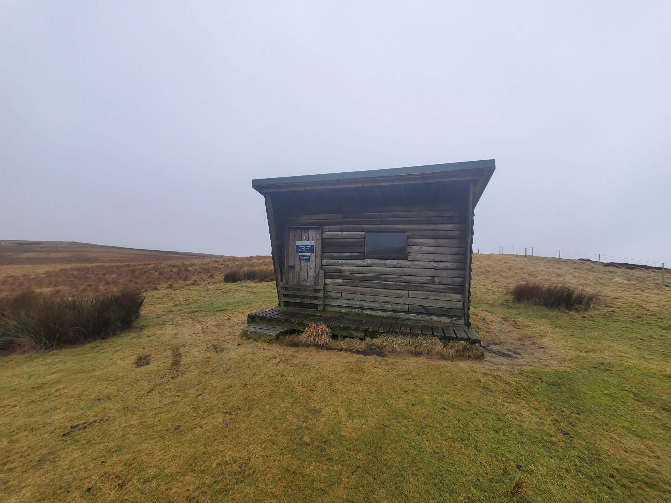
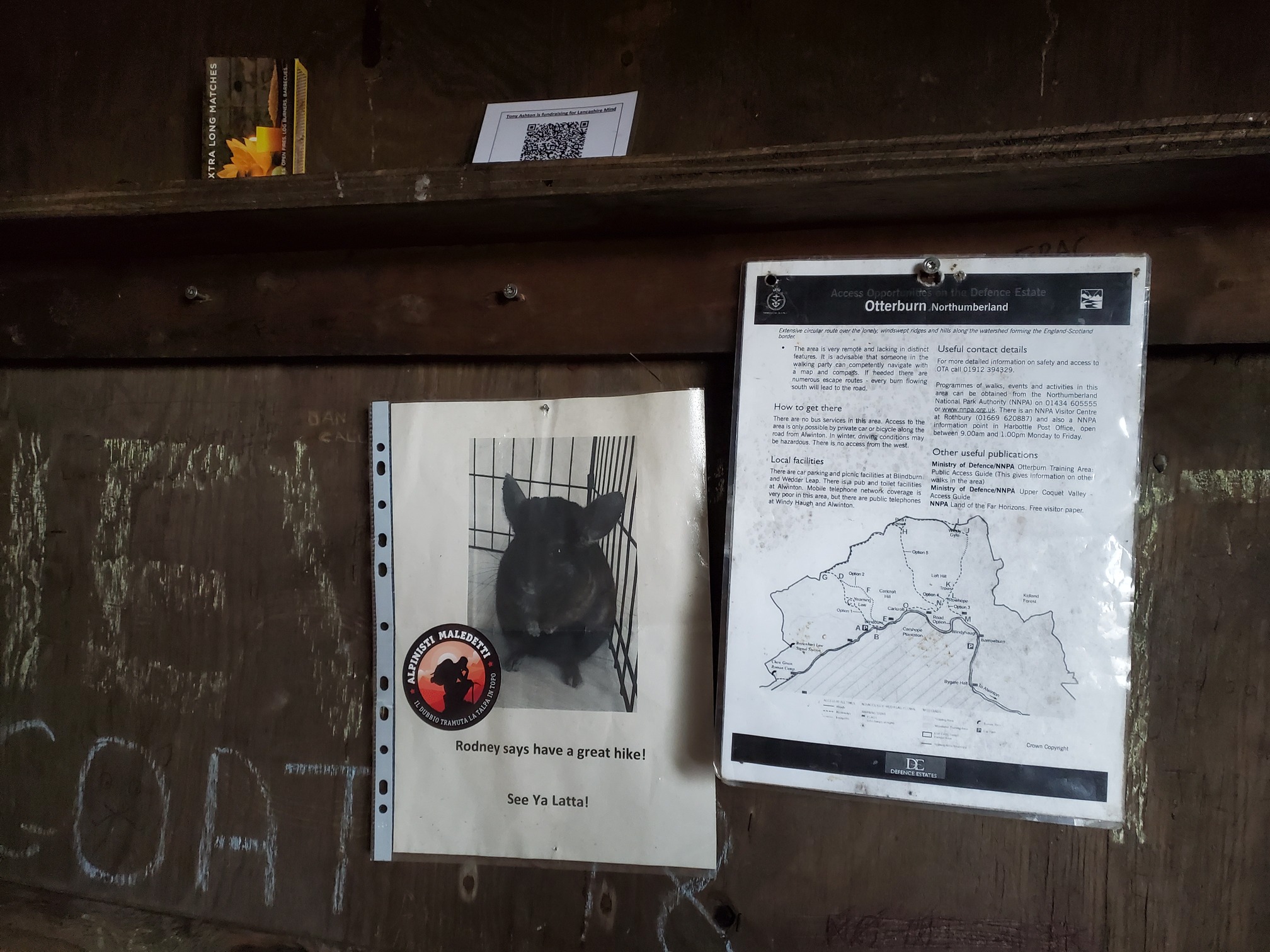
Further along the Border Ridge lies Yearning Saddle Refuge Hut, the interior covered with the names, dates and gofundme addresses of Pennnie Way walkers who’ve stopped by. The soggy visitor book showed I’d just missed a group of nuns walking from Windy Gyle back to Byrness (At least I think they’re nuns, they had quite bad handwriting.)
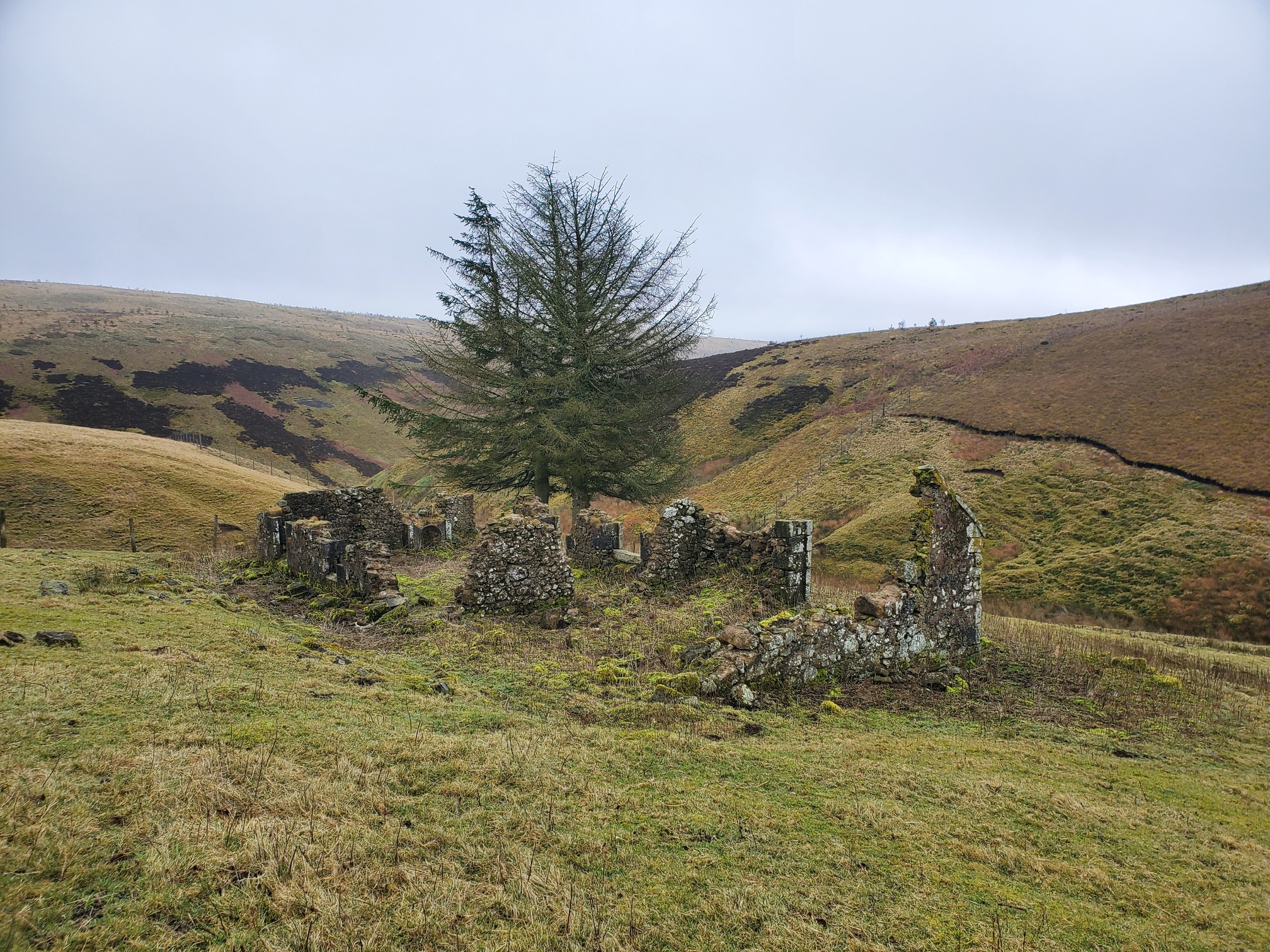
Turning south-east from here across the boggy moorland I reached Yearning Hall, another old shepherd’s house and dramatic ruin.
My findmypast subscription expired, so all I can see is that a Davidson Family lived at Yerring Hall, Allenton (the old name for Alwinton, the nearest village) in the 1841 census, and that even in the 1962 OS map it isn’t shown as a ruin. A post on Geograph has a bit more information, that the house was occupied up until the 1940s, info taken from the book The Old Tracks through the Cheviots that I should probably get a copy of.
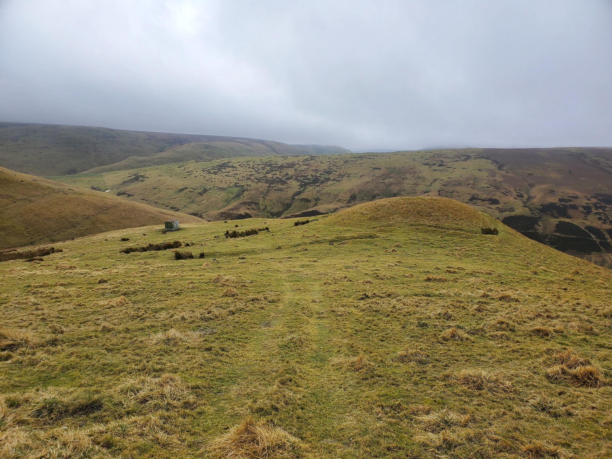
From here, I head around the hill Yearning Law and down past an ancient farmstead marked on the map. It’s the usual rectangular shapes in the ground, but this time there’s a small knoll surrounded by an obvious ditch or wall. It’s listed in the County Historic Record but with no detail of what it might have been.
Further down the hill it’s another nice walk along the Buckham’s Wall’s Burn back to the car, but I stop 3 miles downstream from Blindburn at the site of the infamous pub, the Slyme-Foot. Here farmers would spend their time gmabling and drinking the moonshine from the illcit stills or smuggled over the border, dishing out orders to their shepherds working out on the hills. On the far bank of the Coquet, it lies at the foot of The Street, an ancient drover’s road from Scotland, that led from here to Morebattle near Kelso.
