The Wannie Line
This was a nice long walk, starting out at Scot’s Gap following the old rail line, The Wannie Line, then across farmland to Greenleighton, meeting up with the Wannie Line again and heading back south before cutting across the Rothley Estate back to Scot’s Gap. About 28km in total.
In County Durham, old rail lines were adopted by the council as bridleways but not in Northumberland, unfortunately. The Wannie Line has two sections where permissive paths connect with rights-of-way to make pleasant circular walking routes. I started on one from the old National Trust buildings in Scots’ Gap, walking along a well-maintained path along the old track bed.
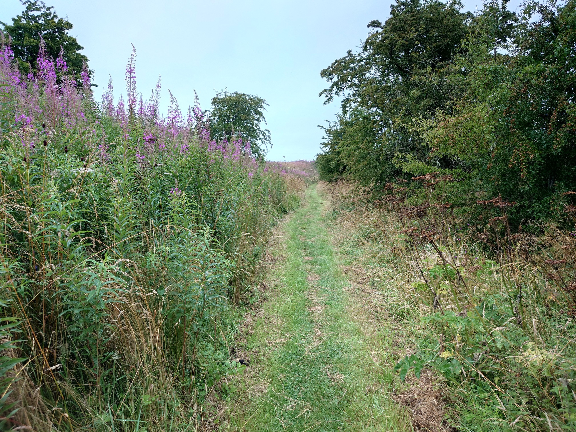 |
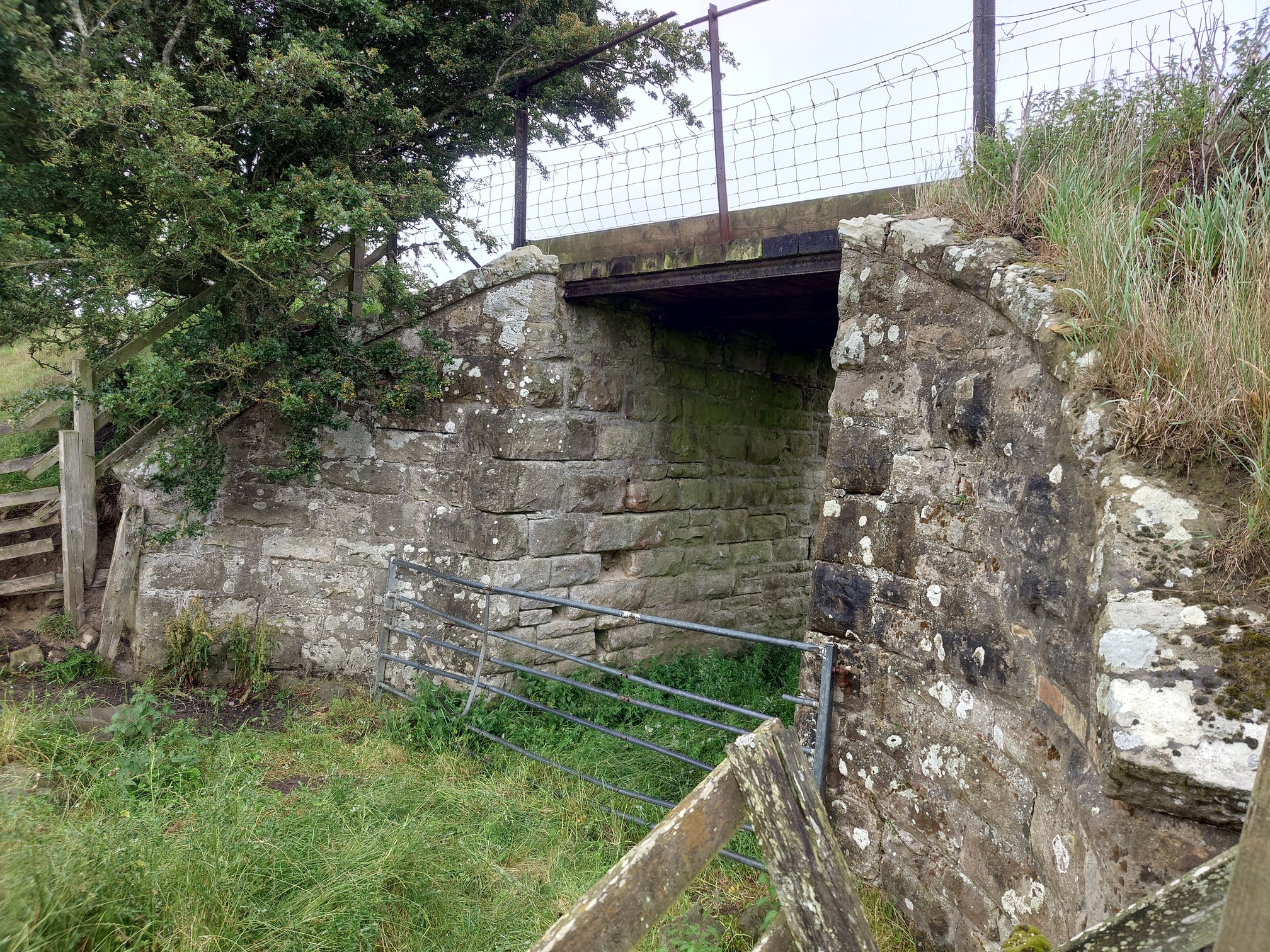
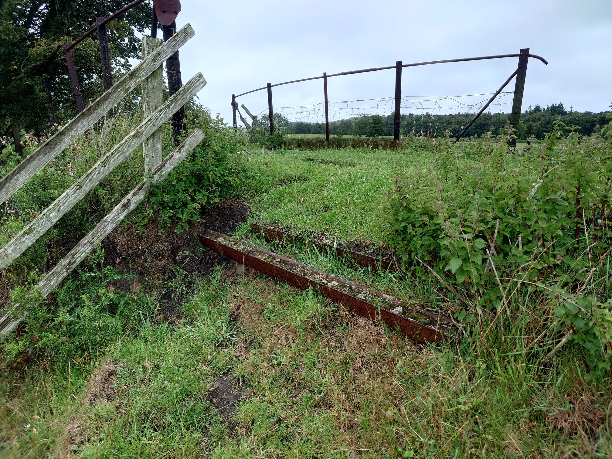
This is part of the National Trust’s Wannie Line Walk. There’s a few bits of old railway infrastructure to see..
 |
|---|
 |
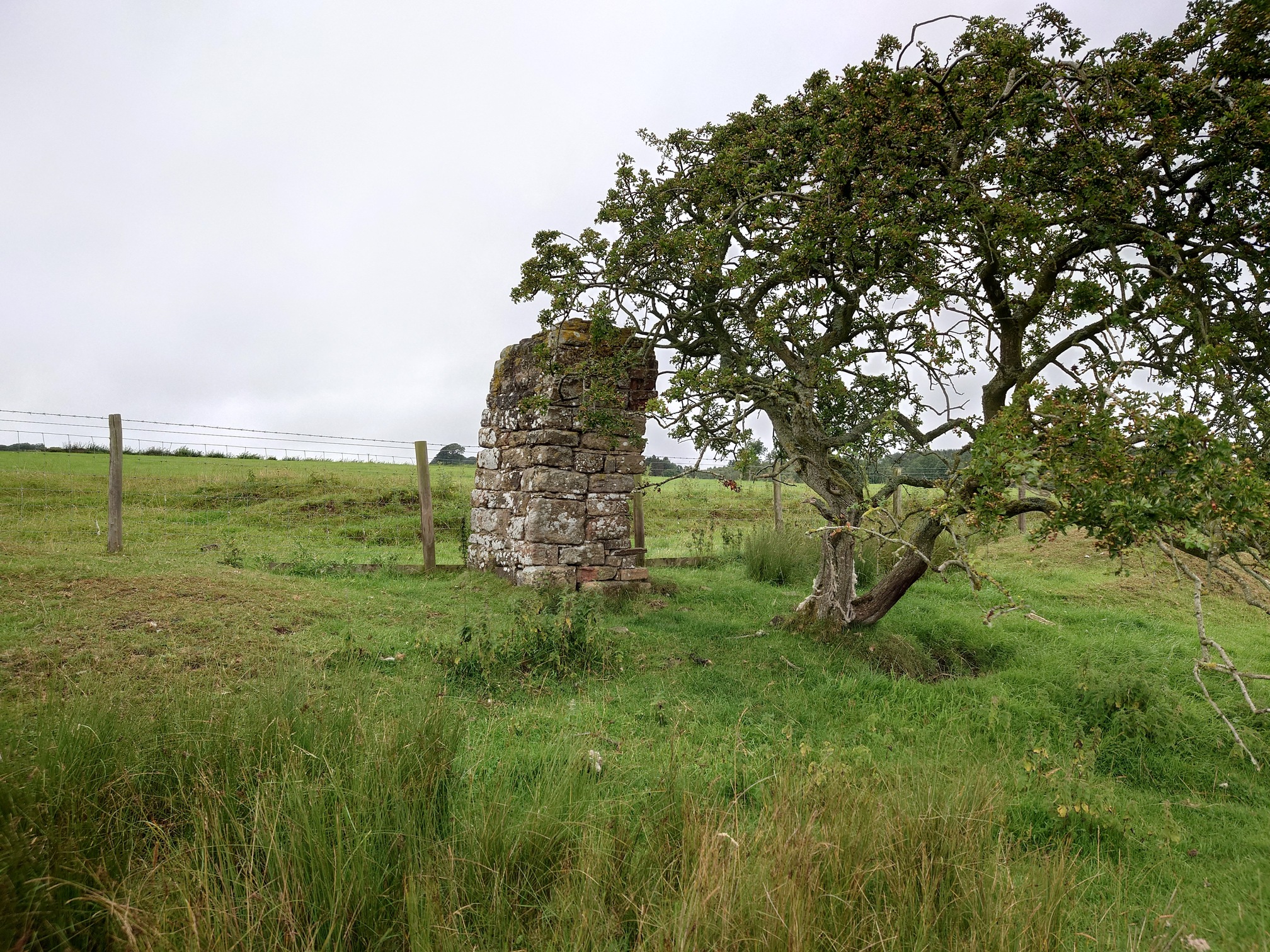 |
| Not sure what this might have been. It stands where a tramway from the Quarry at Hartington joined the rail line. |
This branch of the Wannie Line (properly “The Wansbeck Railway”) opened in 1870, originally planned to connect to the Morpeth and Reedsmouth line at Scots Gap, then head north to Ford to connect with the Berwick and Kelso line. They ran out of money and only got as far as Rothbury; most of the stations were in awkward places miles from any communities. The line never made much money, and closed to passengers in 1953 and freight in 1962. You can read a very good history of the line at Disused Stations and RailScot, both sites including lots of old photographs of the line.
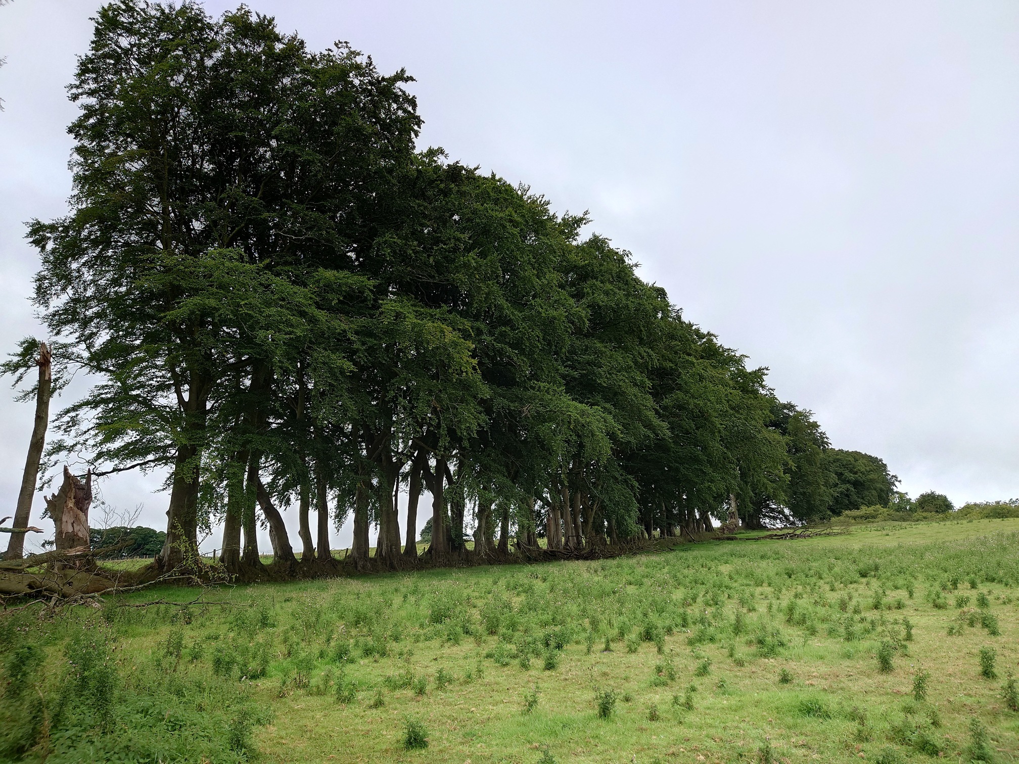
The walk left the line and headed on through the lovely Delf Plantation and out again, where we discover what happens if you don’t cut your hedge.
 |
Here I left the National Trust’s trail, and cut across farmland on Rights of Way to near Greenleighton Quarry. Just south of the car park is a small copse, which once held Rothley Shiel Youth Hostel.
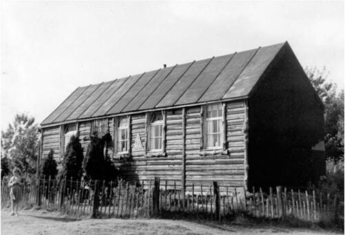
After World War 2, a Northumbrian Hiking Group “The Northumberland Trampers Guild” was formed and youth hostels founded. An early and keen patron was Sir Charles Trevelyan, who owned the Wallington Estate, and he set up very basic hostels at Wallington and in the local area. One of these was Rothley Shiel, formerly a shooting hut. Initially very busy, the novelty soon wore off, numbers declined and the hostel here closed in 1958. There is a phenomenally detailed history of the hostel in this pdf by YHA’s archivist, John Martin, including pictures of when it was in use, which I have stolen and reproduced here.
 |
|---|
| Rothley Shiel Youth Hostel in the 1950s |
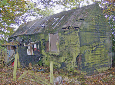 |
| Rothley Shiel Youth Hostel in 2005 |
Incredibly, the hostel was still standing in 2005, and another photo on geograph shows it in 2007 - this is where I found out about it.
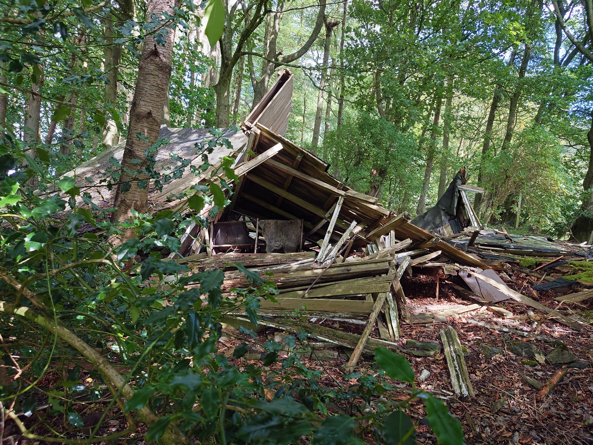
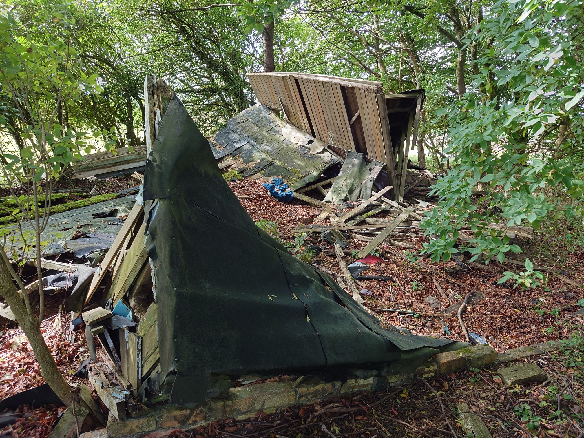
Of course now, in 2025, it’s finally succumbed to the elements, as I found a ruined pile of wood and suspiciously asbestos looking roof tiles. Amongst the rubble I saw a few very old washing up bottles, buckets and hiking boots. It doesn’t seem like it’s been too long since it collapsed either, with the ruins not overgrown at all.
 |
|---|
 |
On from here and into Greenleighton. This area also has a National Trust Walk that’s very good, the Greenleighton Moor Walk. It passes by some very impressive (for Northumberland) sinkholes, but the bracken was too high so I didn’t bother walking slightly out of my way to look at them. You should though, if you go in the Winter/Spring. The largest (which is safely fenced off) was explored by caver Chris Scaife who says in his book Caves of Northumberland that it would be “a nice little pothole” if it wasn’t full of coils and coils of rusty wire. He named it “Wire Cave”.
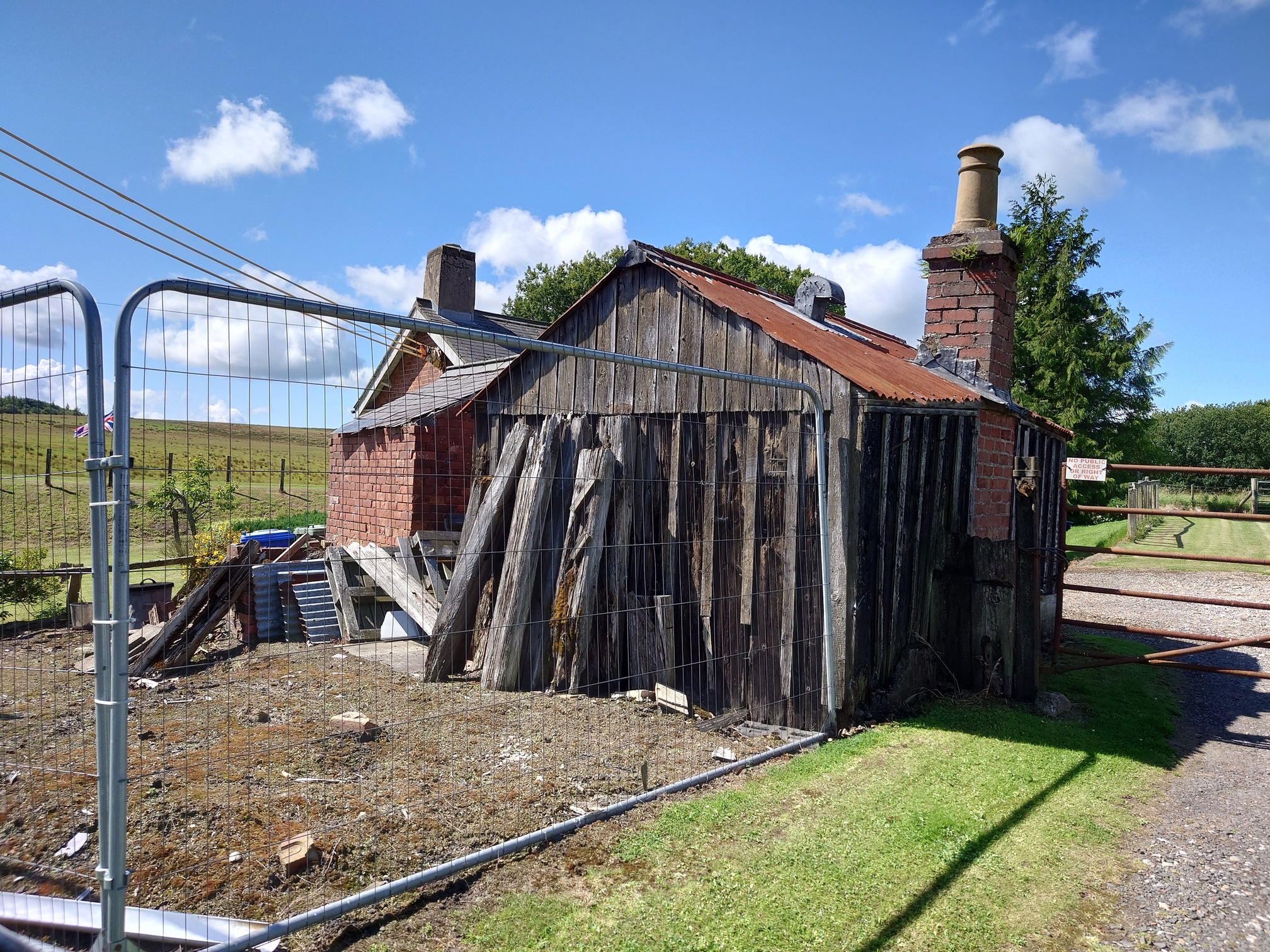
Through here and along another Plantation, down the road and back to the Wannie Line, at Ewesley Station. Another permissive footpath runs along the line here, as well as a shorter permissive path down to look at the station platforms. Ewesley Station is now a private house, but still has some very old railway buildings (the house itself wasn’t part of the railway buildings)
 |
The permissive path down to the station platform was very thoroughly fenced off, a small gate with “Countryside Comission Permissive Footpath” symbol blocked off by newer fencing, and beyond it barbed wire and electric wire. Clearly not permissive any more, which was a shame.
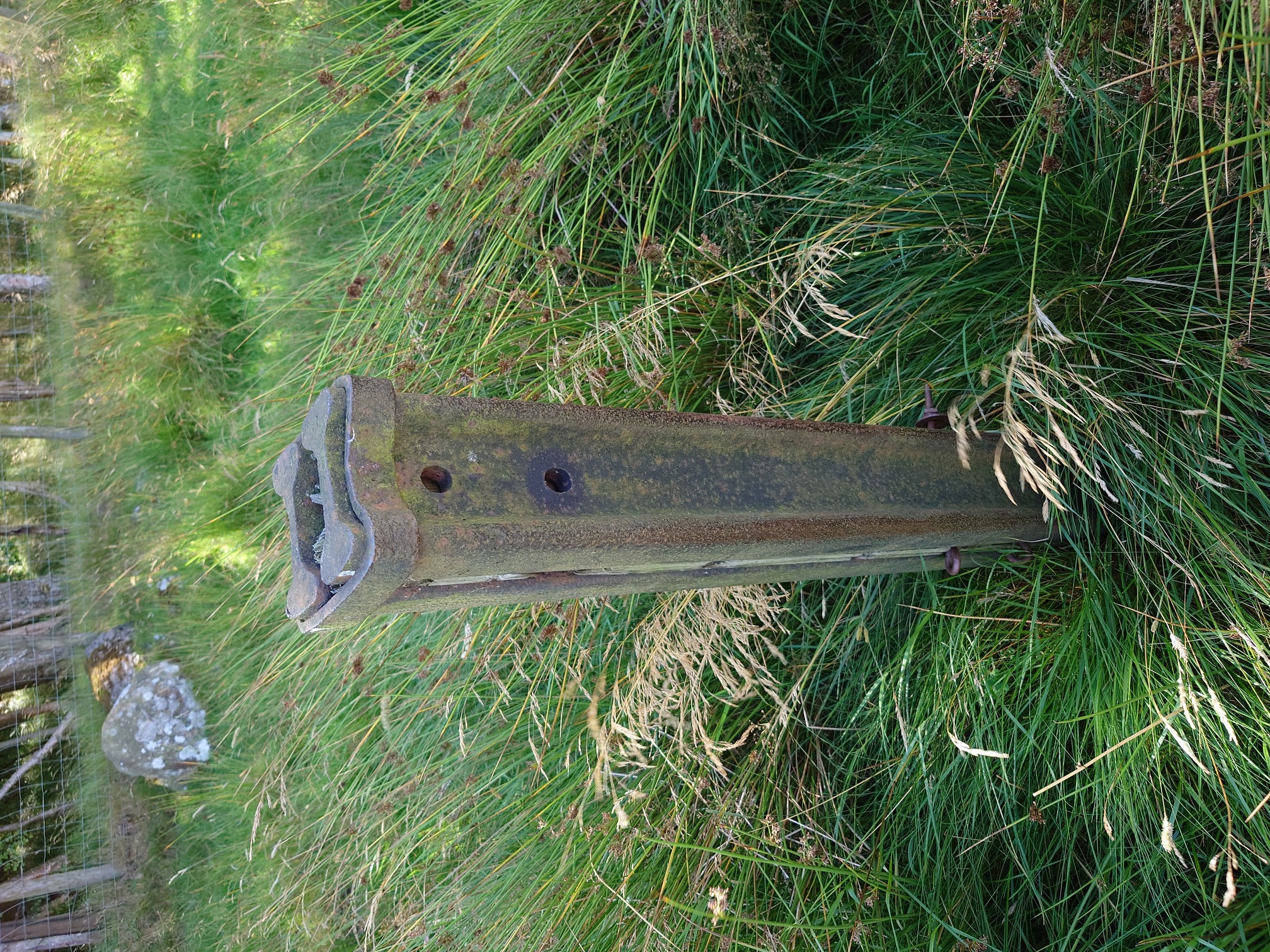
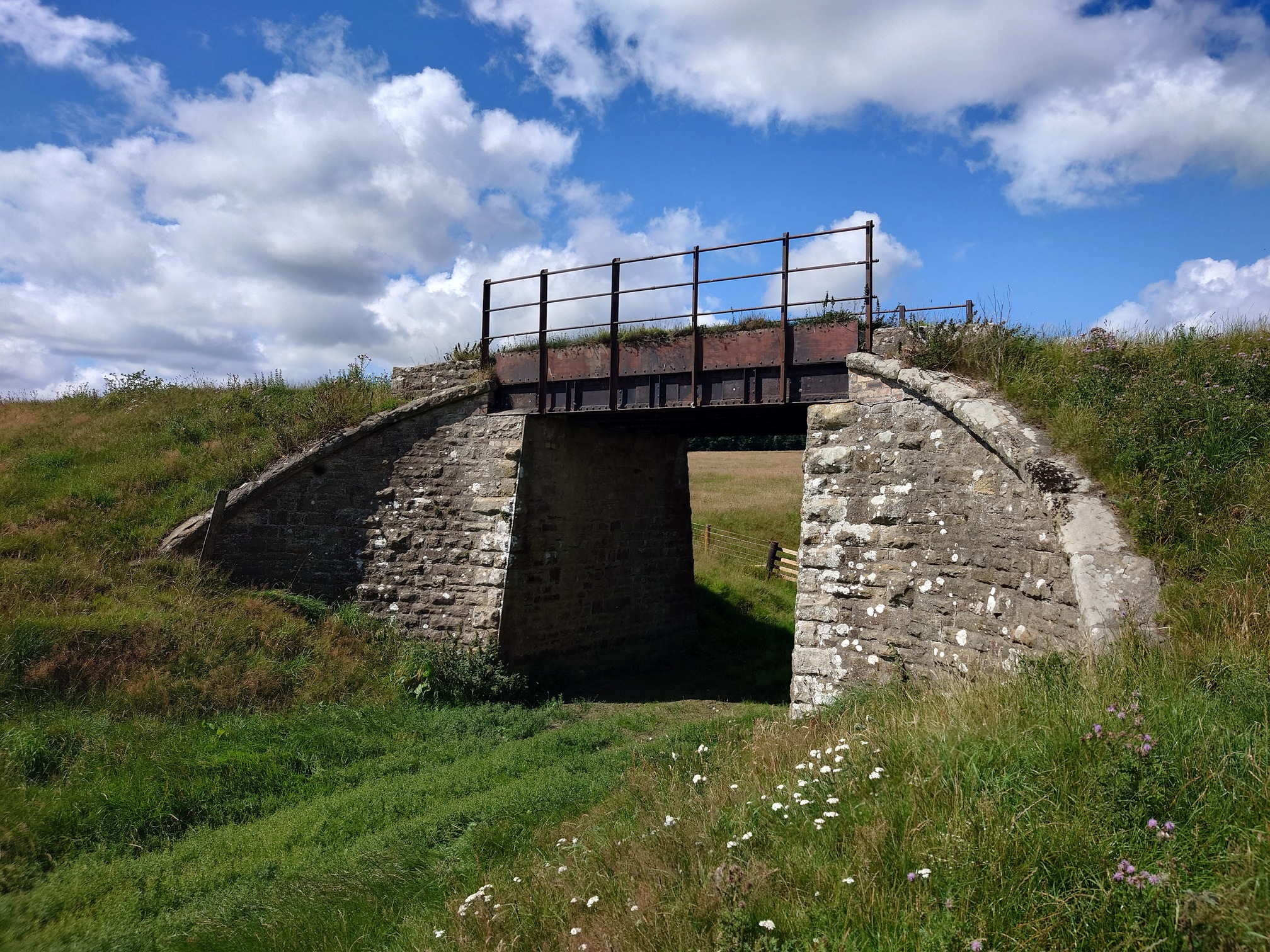
I crossed the road to follow the permissive path where it goes along the track bed, but again this didn’t look hopeful - cattle in the field and no signs to say if or if not the permissive path was still in existence. I pressed on anyway, and in the humid heat walked through thick grass along the track bed. There was a few bits of railway infrastructure, but not many, and it was far too overgrown to be pleasant, as well as having to climb fences that blocked off the old permissive path gates.
 |
|---|
 |
That done, I rejoined the bridleway and had a nice walk through more farmland and plantations down towards Rothley. On one of the 1890s OS maps I’d looked at while plannig this walk, I had noticed a colliery - Longwitton Colliery - and some cottages where there was now woodland, so I was quite surprised to see some actual remains of it still in existence.
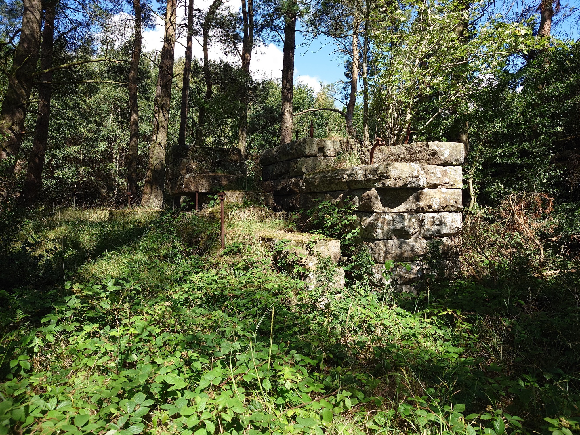 |
The colliery was linked to the Wannie Line by a tramway, and probably in operation from 1880s to early 1900s. NEHL has a small piece on the colliery, as does the Durham Mining Musem.
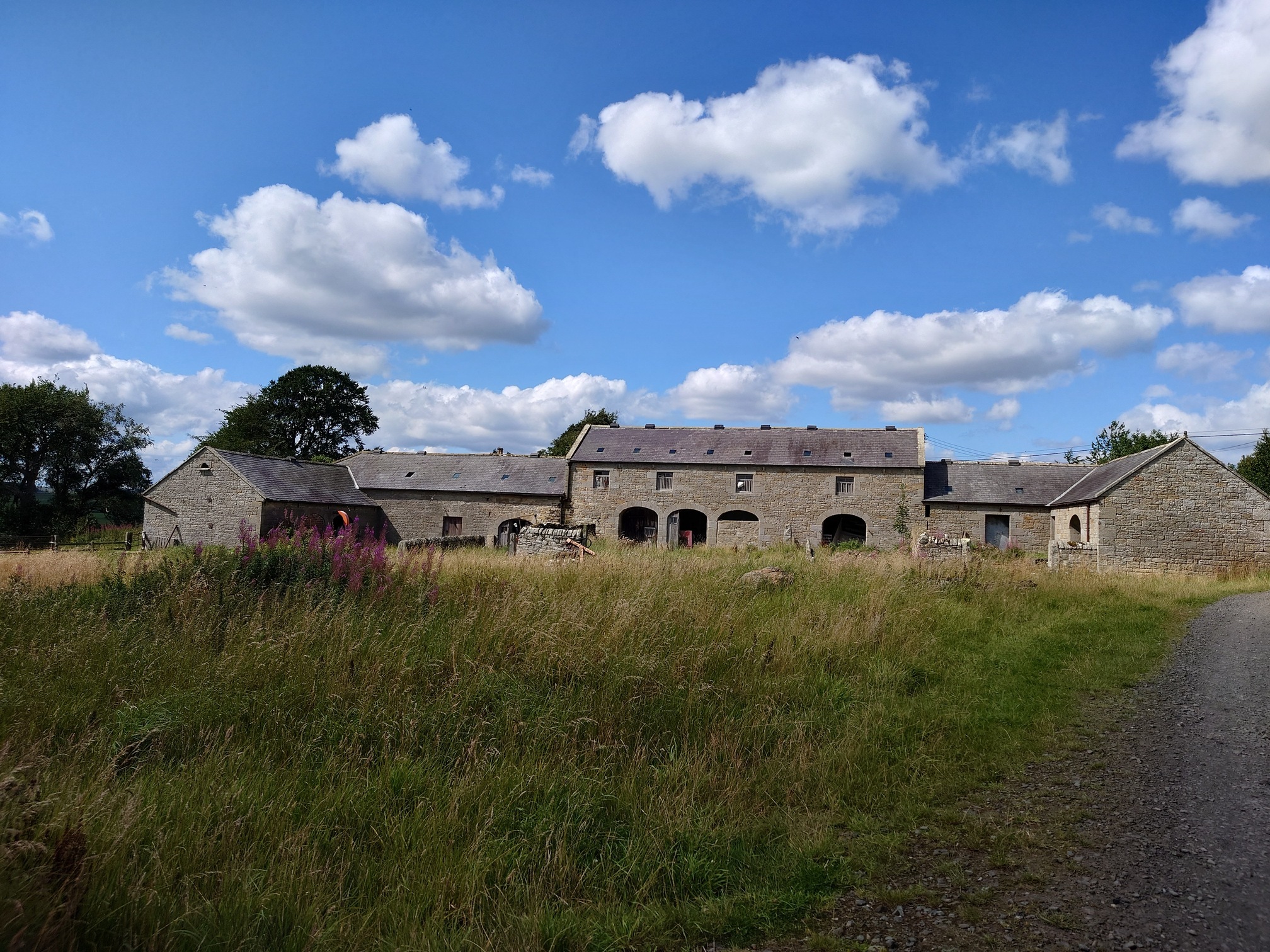
That was the end of all the history I wanted to see, but the walk back was still absolutely lovely, including some wonderful buildings around Rothley and the Rothley Mill Ford.
I was a bit too tired with the heat to take a walk up to Rothley Castle; around Longwitton Colliery I’d nearly run out of water and so was overjoyed to see a sign for a Farm Shop. Dreaming of an ice cold glass of water, I got there and it was a self-serve raw milk machine next to a hot drinks machine. I had a piping hot cup of sweet black tea in the blazing sunshine. Refreshing.
 |
|---|
| Rothley Farm |
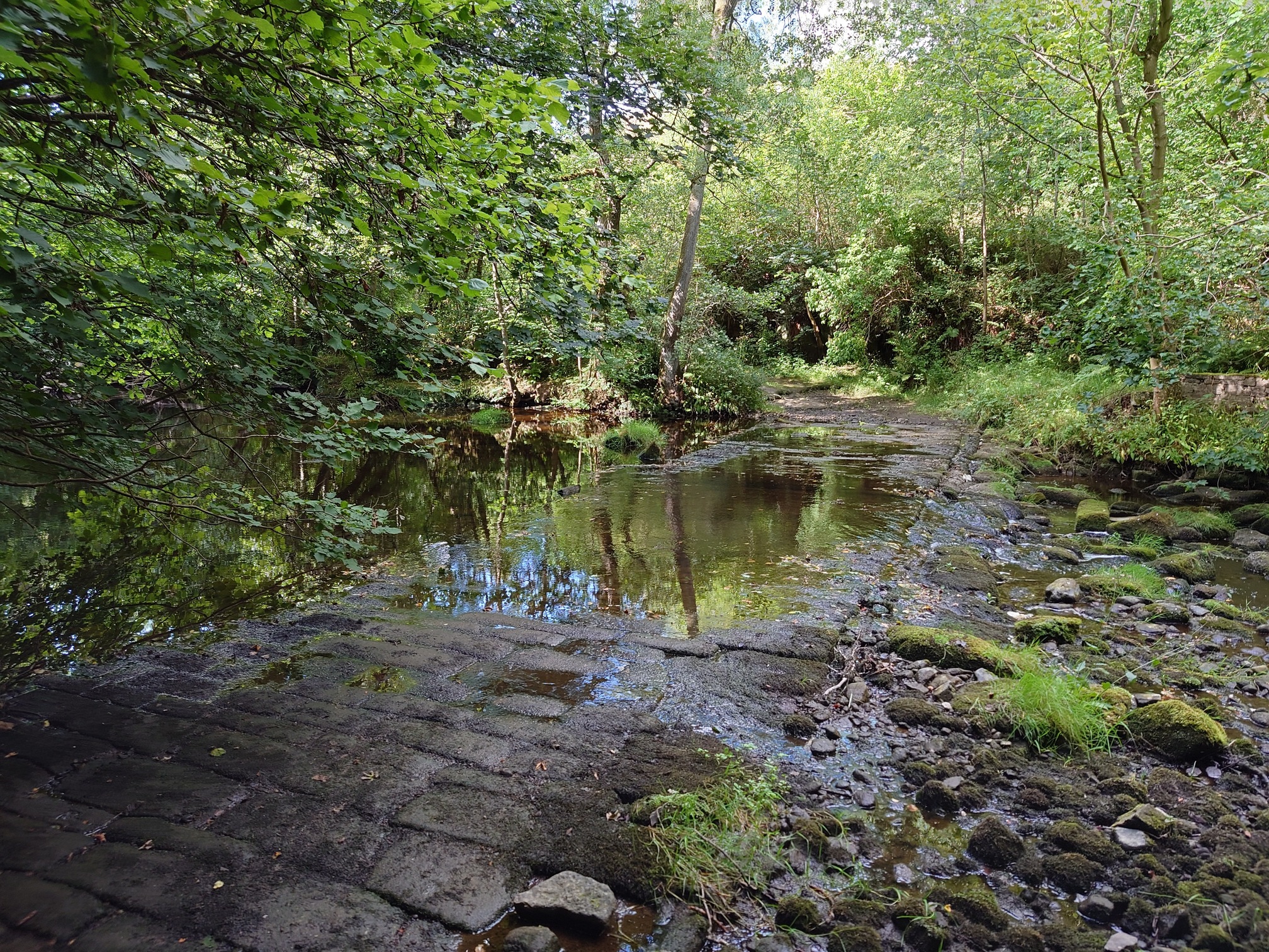 |
| Rothley Mill Ford |
A very satisfying walk, although a real shame about the difficult permissive path on the second part of the Wannie Line. Earlier in the walk too I’d had to climb a padlocked gate on a Right-of-way, but it was great to see the old Wannie Line and the few other bits I found. I really recommend both National Trust walks too.
| Map of route taken |