The Lairig Leachach and Corrour Forest
For this walk I left my car at Bridge of Orchy and took the train up to Spean Bridge. The West Highland Line skirts through infamous Rannoch Moor, which I’ve always wanted to walk across, and I planned a 4-day route with easy get outs (train stations and the A82) if I needed them.
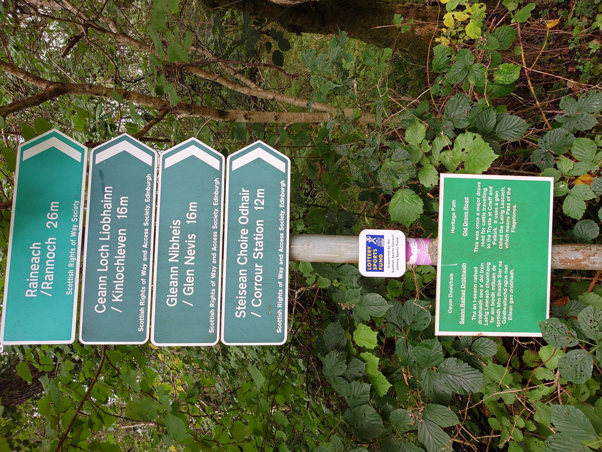
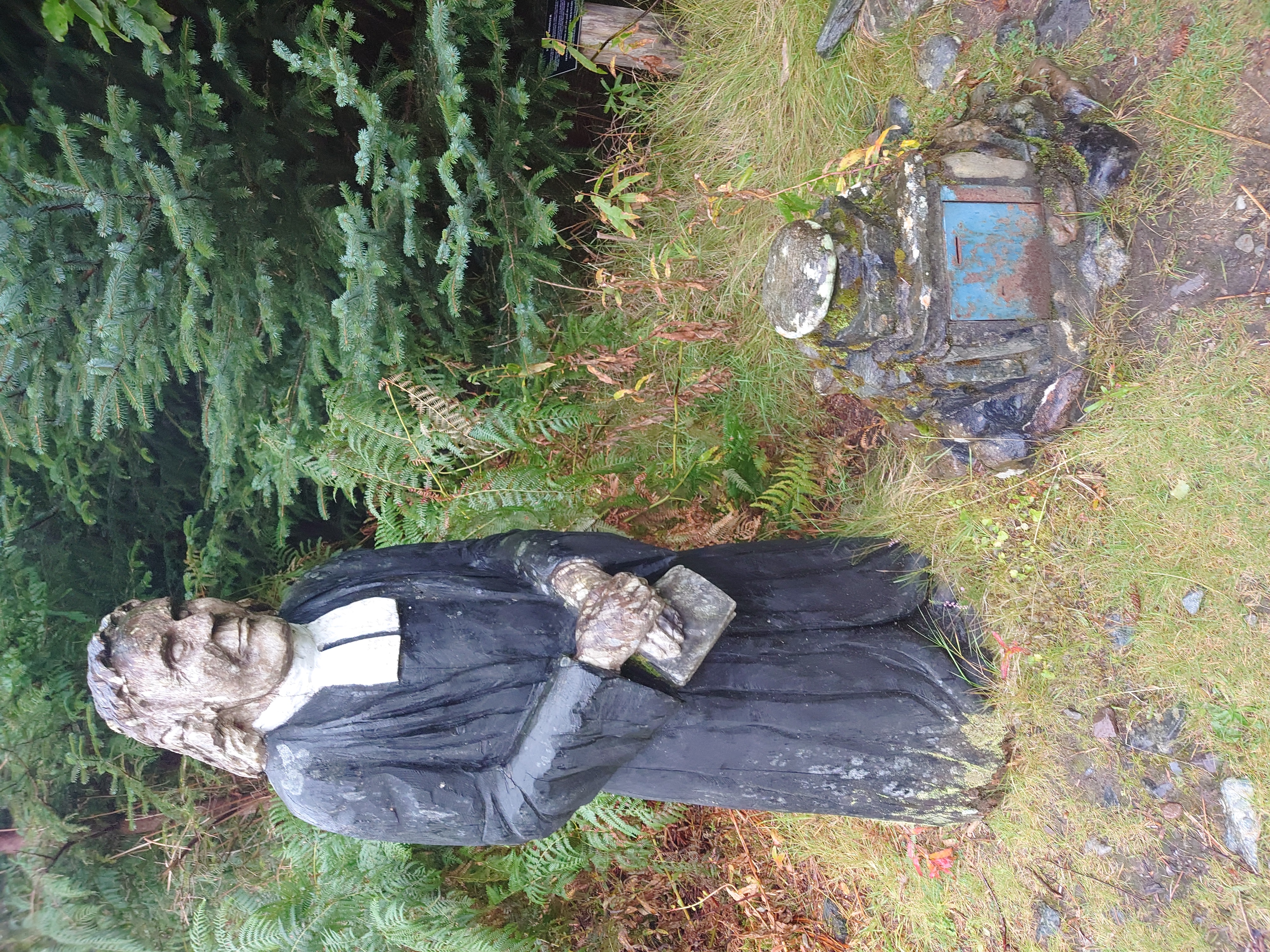
Following an excellent night’s sleep at Glen Spean Camping, I walked back through Spean Bridge, crossing the river and the rail line, to find the start of the Lairig Leachach (Pass Of The Flagstones). Scotways has some information on this old drove road. From Choire Choille Farm, I took a road leading up through fields of cows and forestry, passing The Wee Minister who gave me a shock as he suddenly loomed into view through the gloom.
 |
|---|
 |
 |
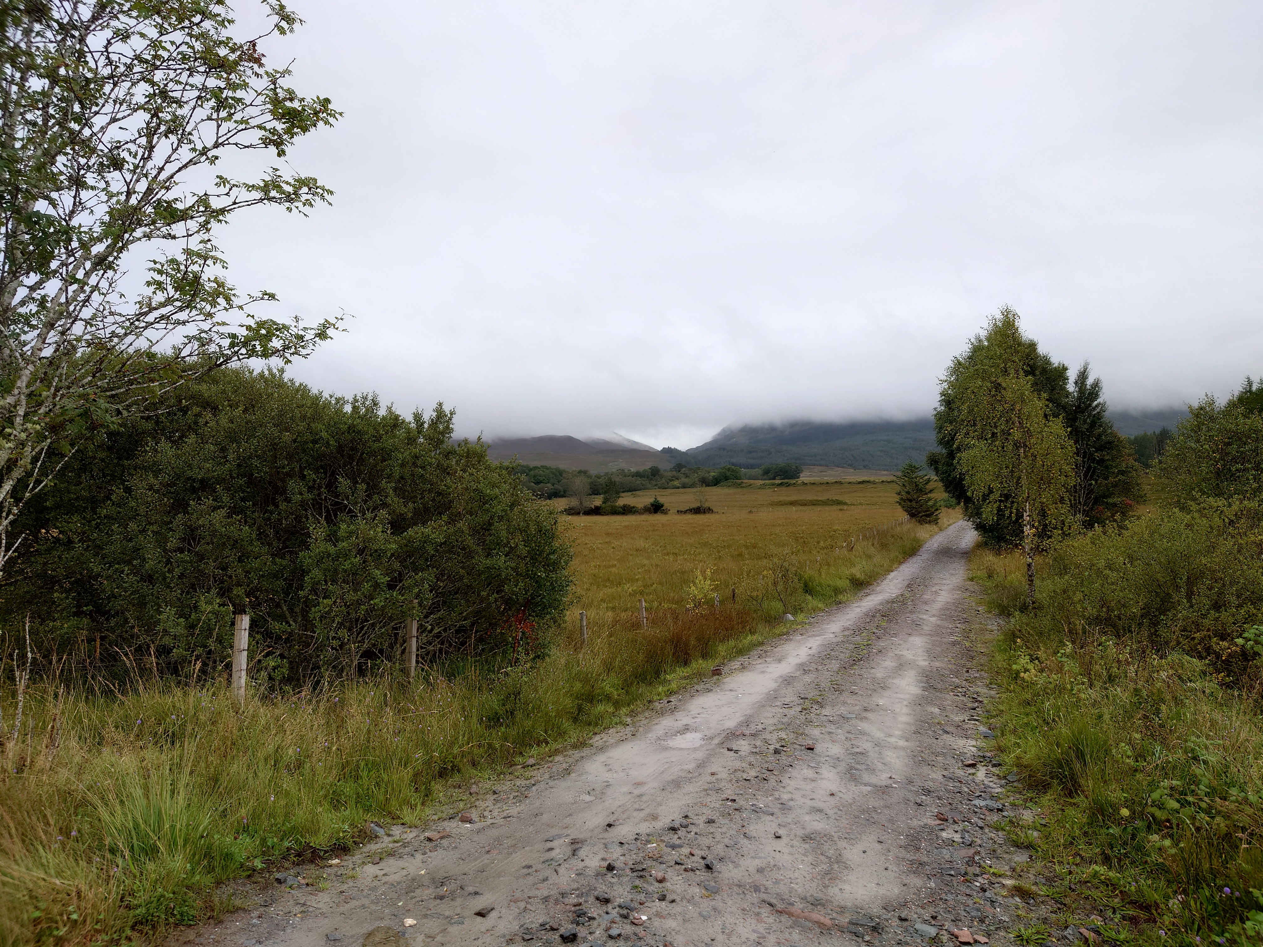
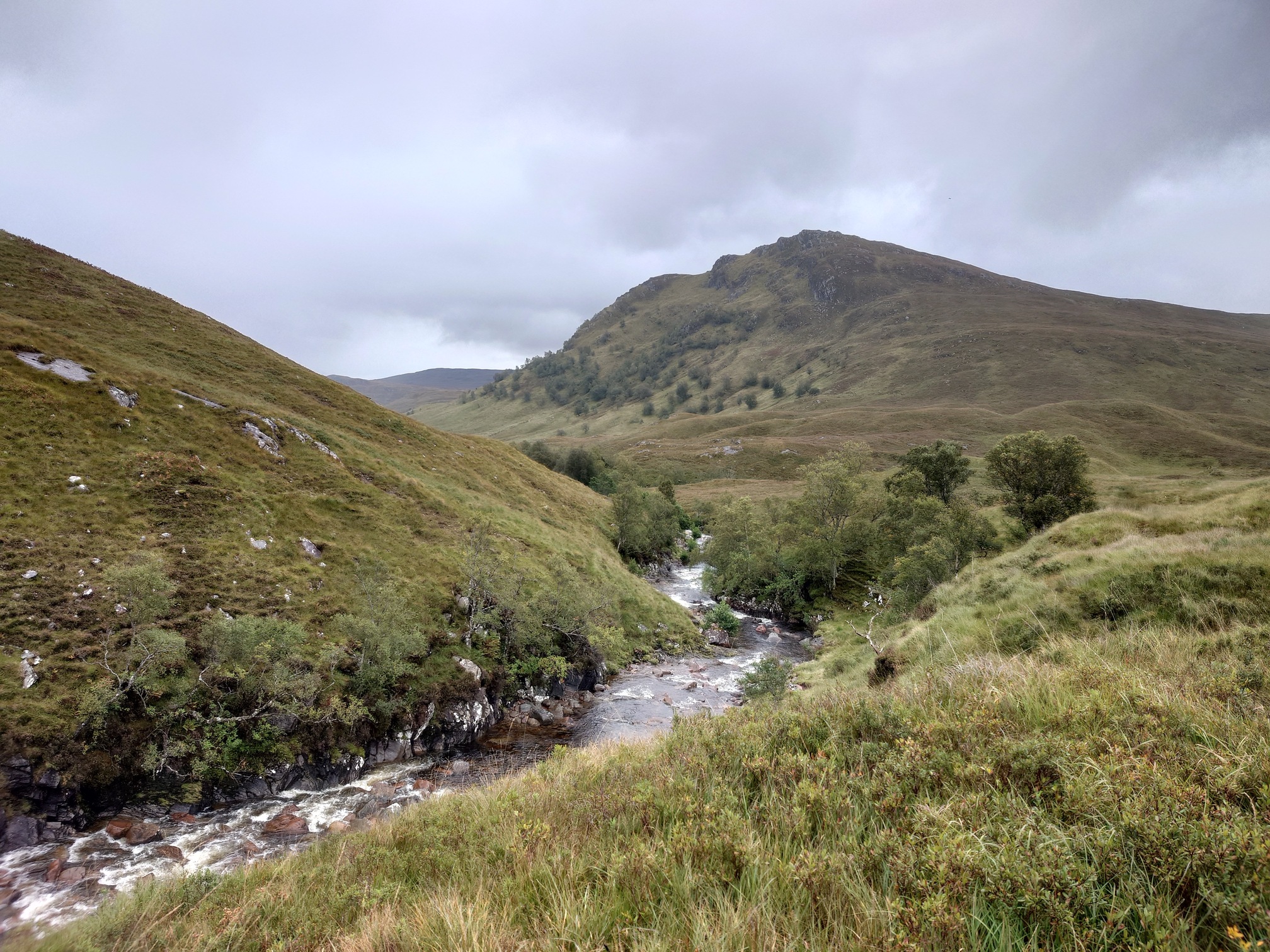
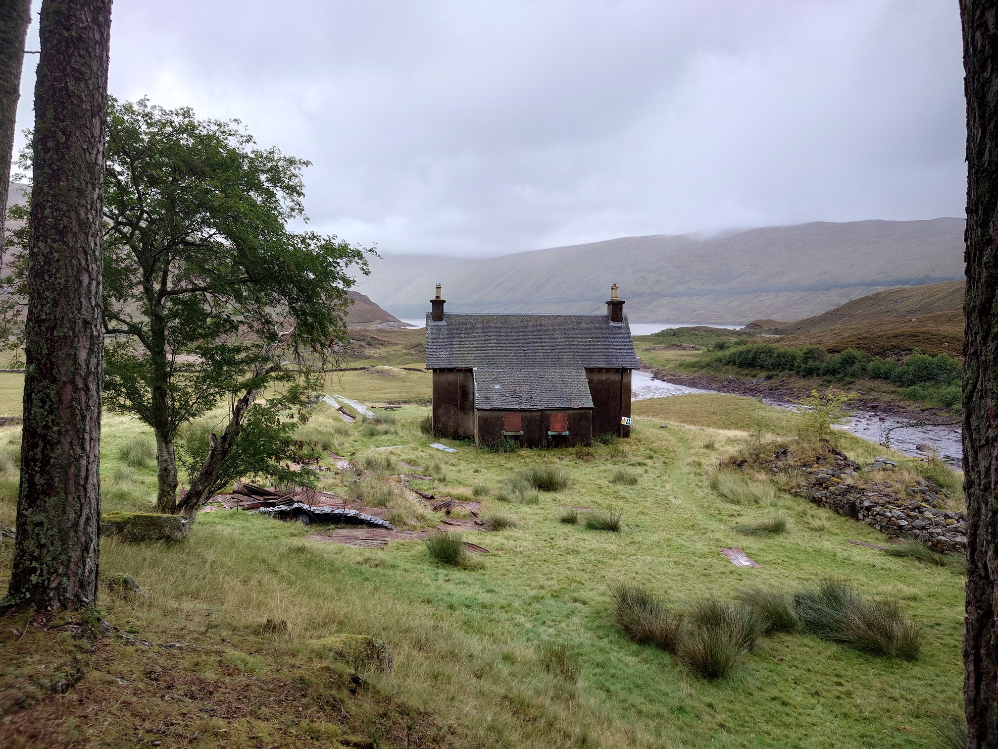
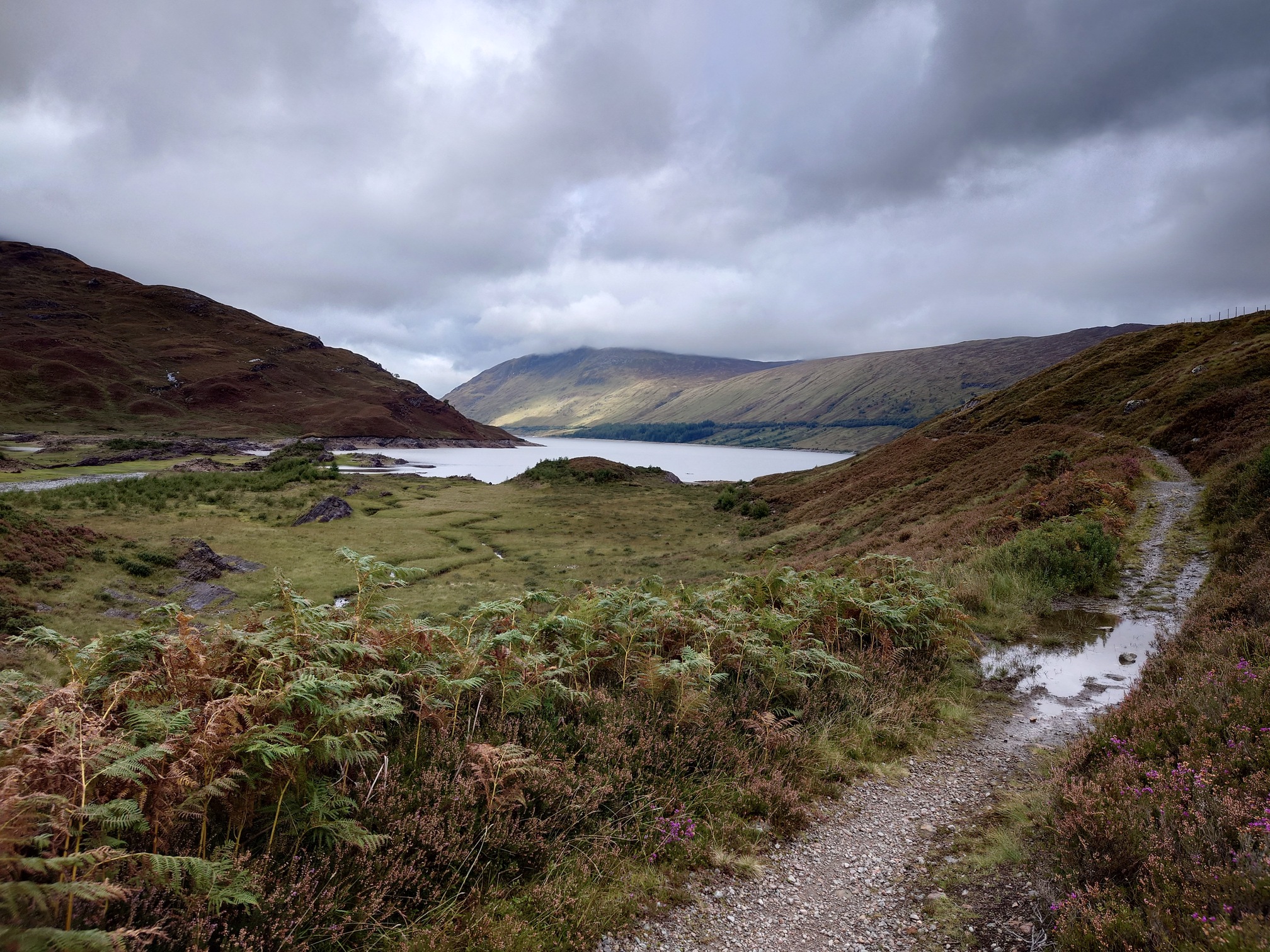
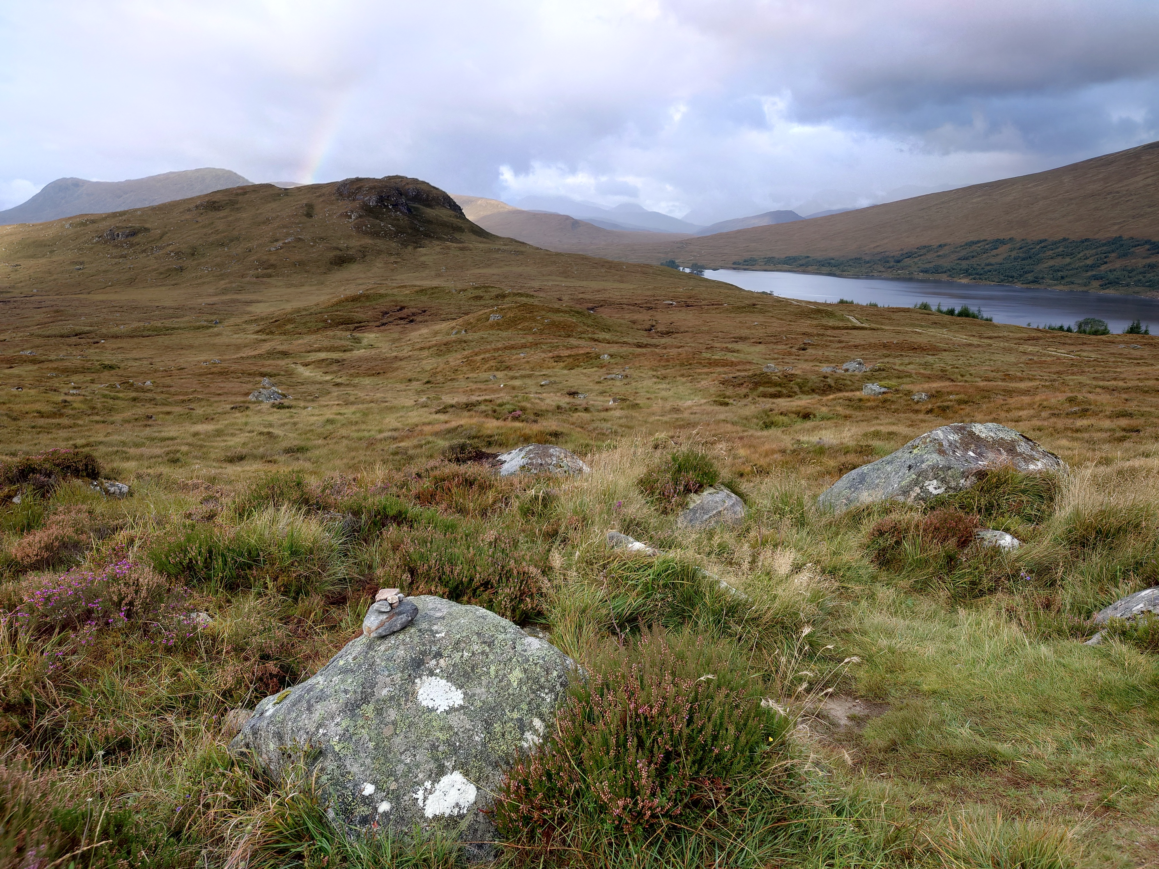
After 5km I left the forestry and reached the open glen, following the river along a track of crushed stone. It was chucking it down but it felt great to be out in the wilds again. I’m sure the view was fantastic too, beyond the clouds, and by lunchtime I’d reached tiny Lairig Lechach bothy so I could at least have dinner out of the rain. I was hoping that some hiker would have only just left and I’d have an easy fire to get going again, but the place was cold and silent. I signed the Bothy Book as always.
 |
|---|
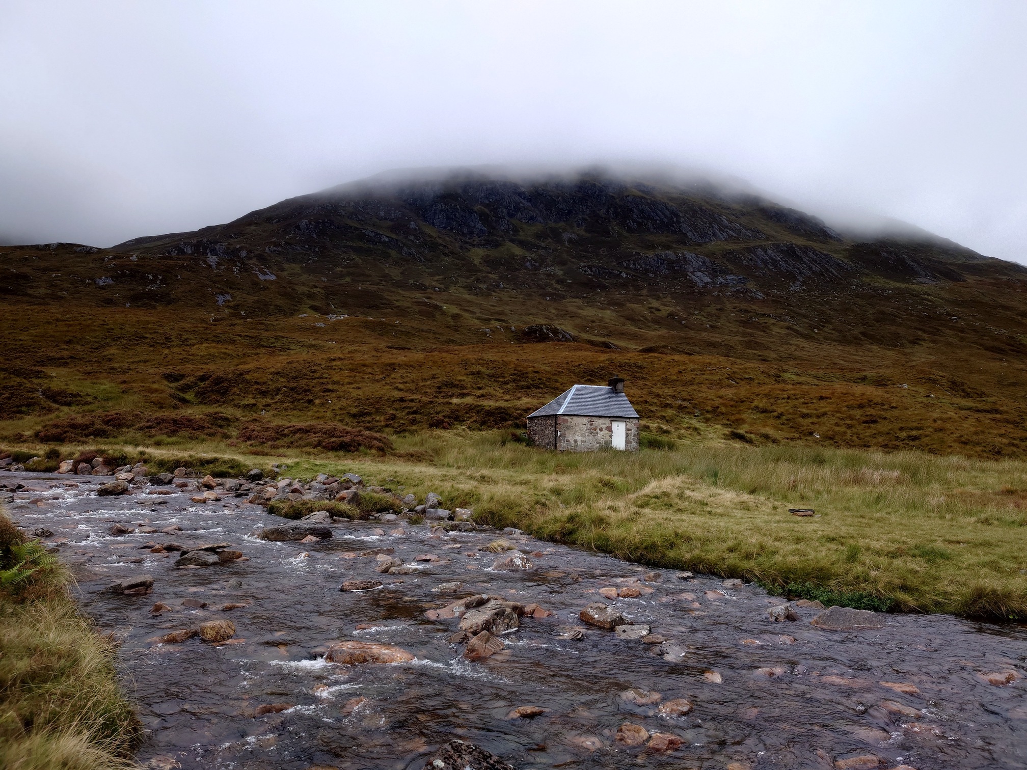 |
| Lairig Leachach Bothy |
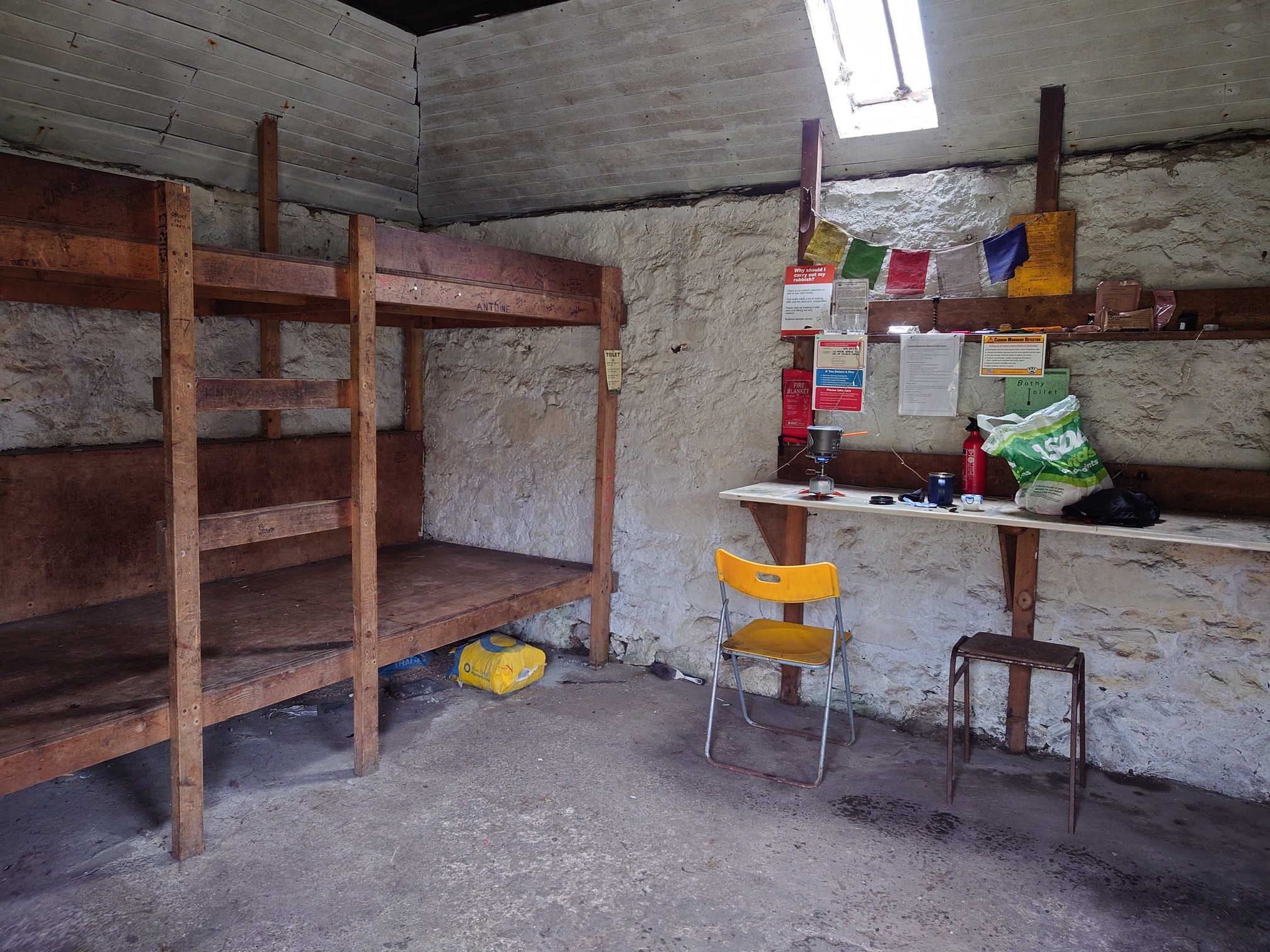 |
| inside the bothy |
I have just discovered freeze-dried textured vegetable protein, which you soak for 10 minutes then can boil up and add to a packet soup like MugShots, making them more substantial and filling. I feel like this is a slippery slope to cold-soak beans. Anyway, after the bothy, the road petered out into a muddy track over the ground which at times was little more than the faint outlines of quadbike tracks to follow. This was great, following the Allt Lairig river, which was down a steep drop and meant I could often hear what sounded like spectacluar waterfalls, but could never actually safely see them. Occasionally the clouds would lift to show the scenery too.
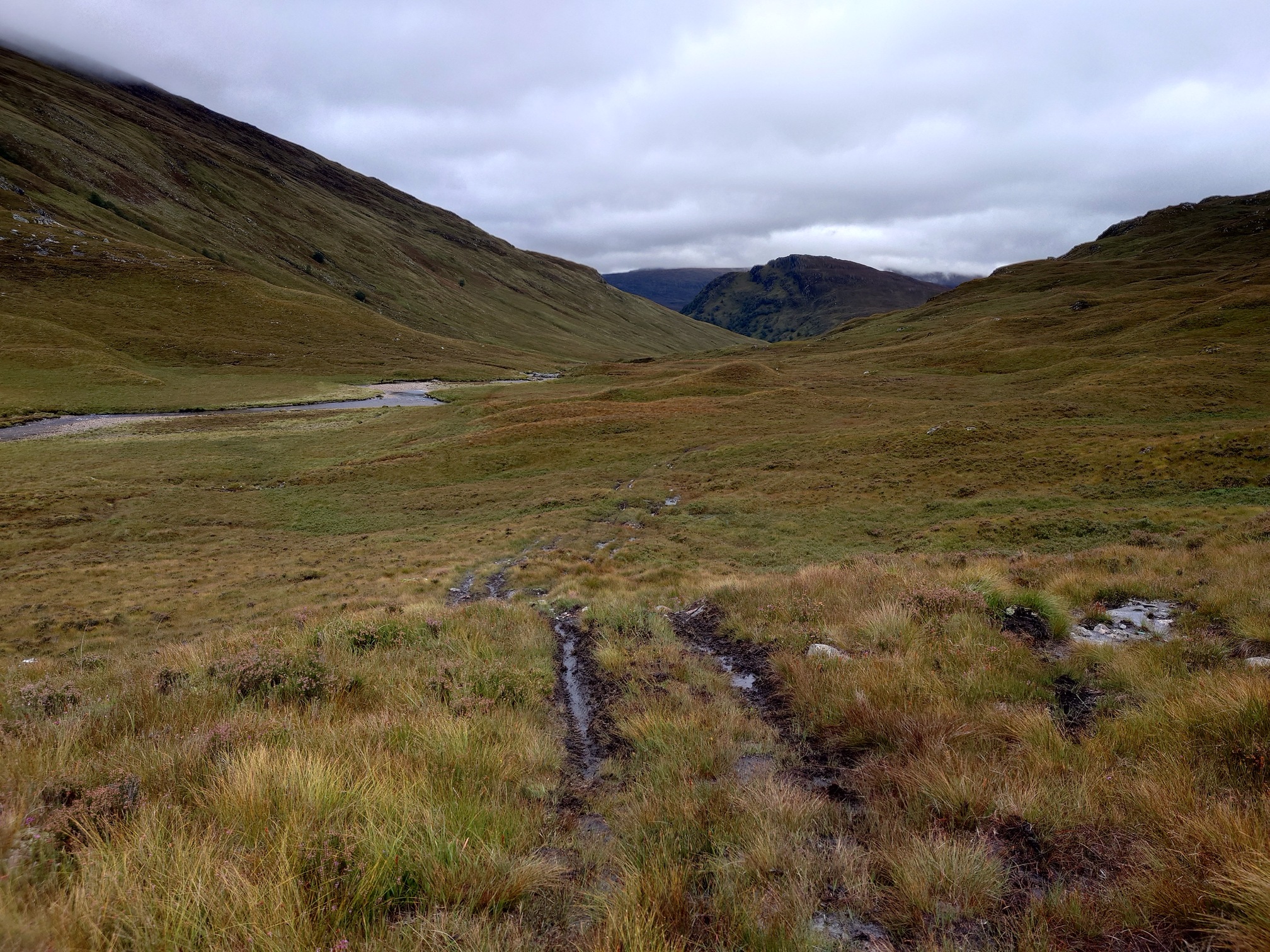 |
| Very wet going underfoot |
 |
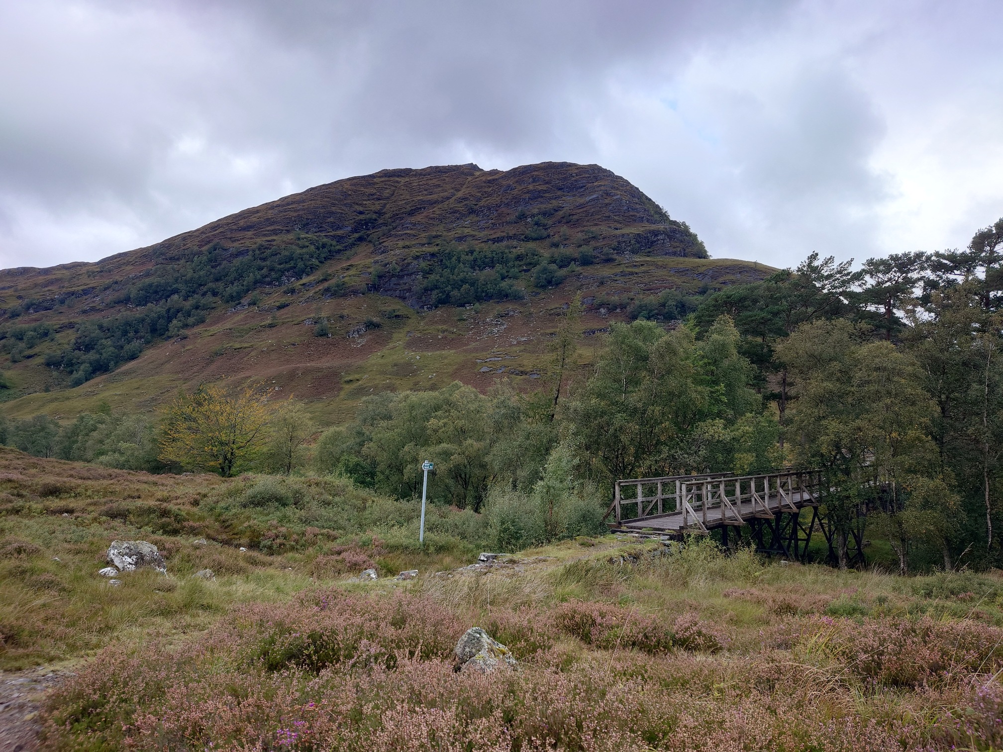
| Remains of a footbridge on the Allt Feith nan Sac |
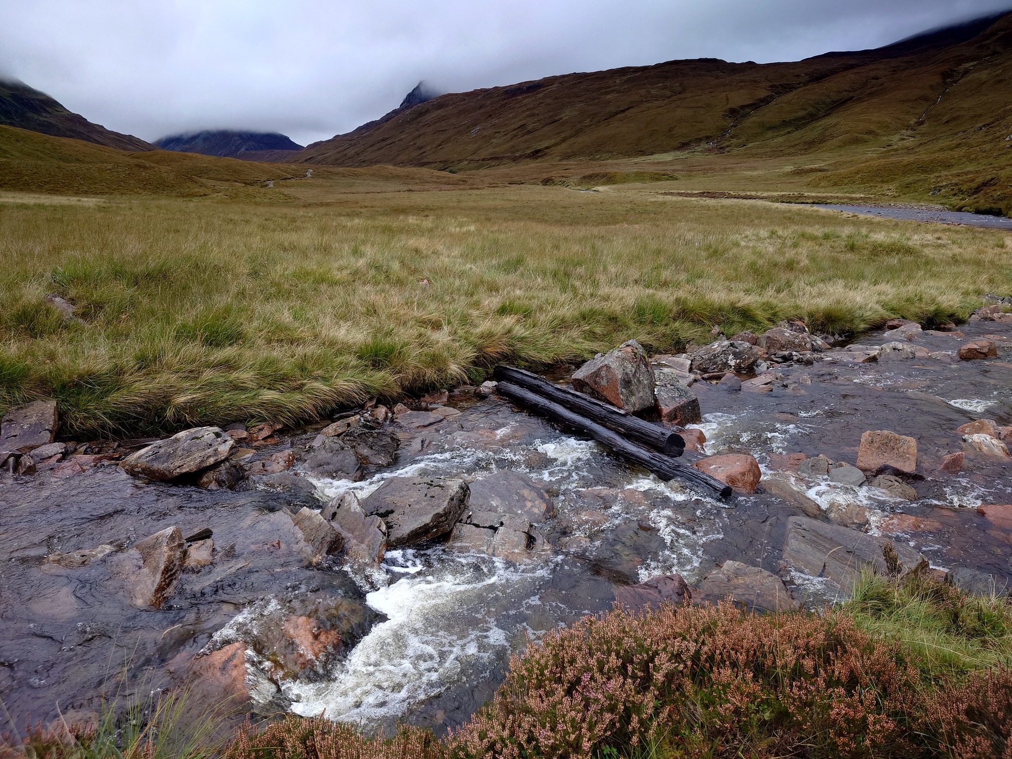
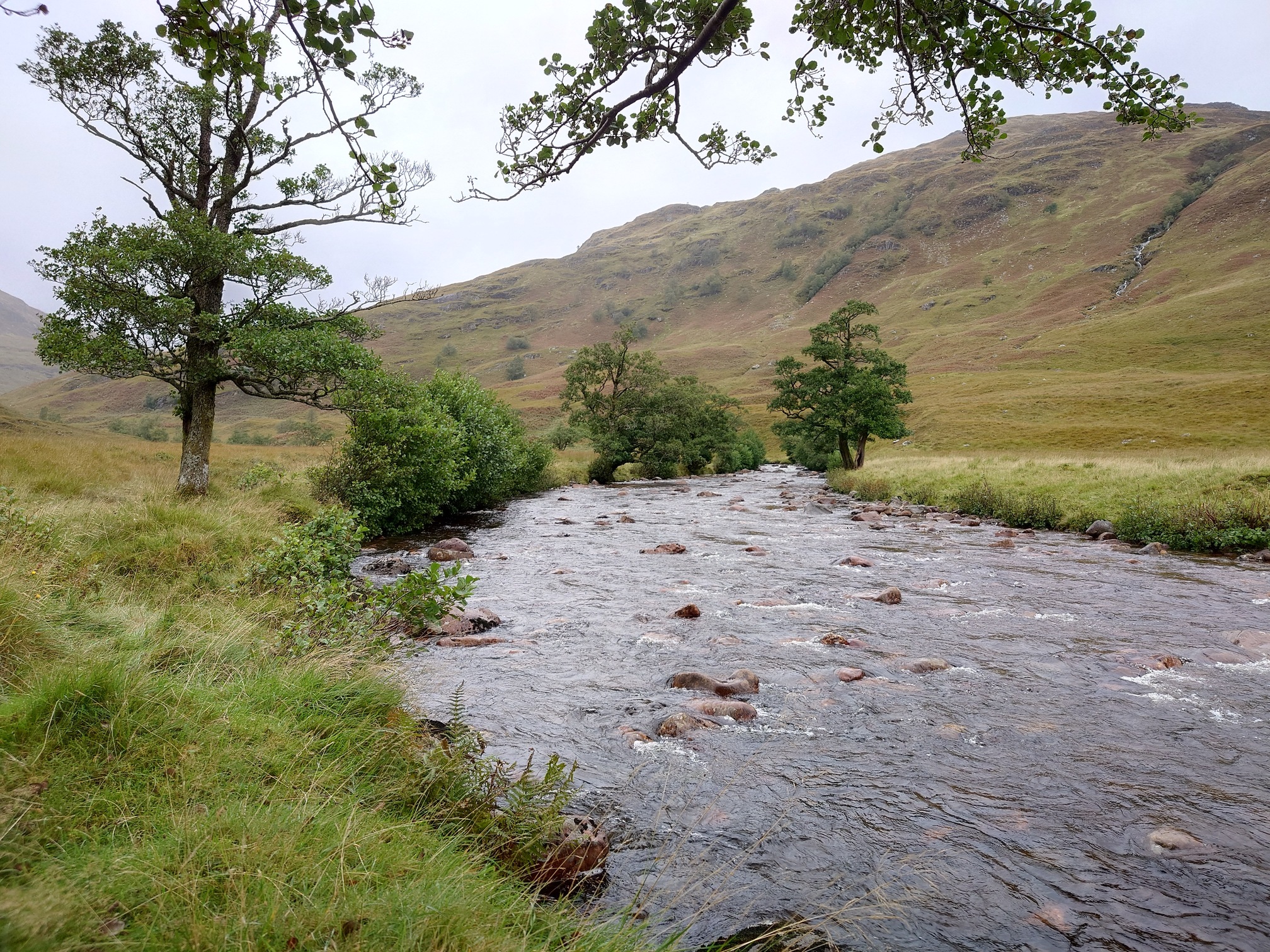
Several times I needed to ford burns, which I hadn’t thought about for some reason. I was also wearing the wrong boots for ground this wet, so my feet were absolutely soaked, but I didn’t seem to be getting any blisters so wasn’t too bothered. Eventually the track dropped to the banks of the river, now flowing wide with sandy banks in places.
 |
 |
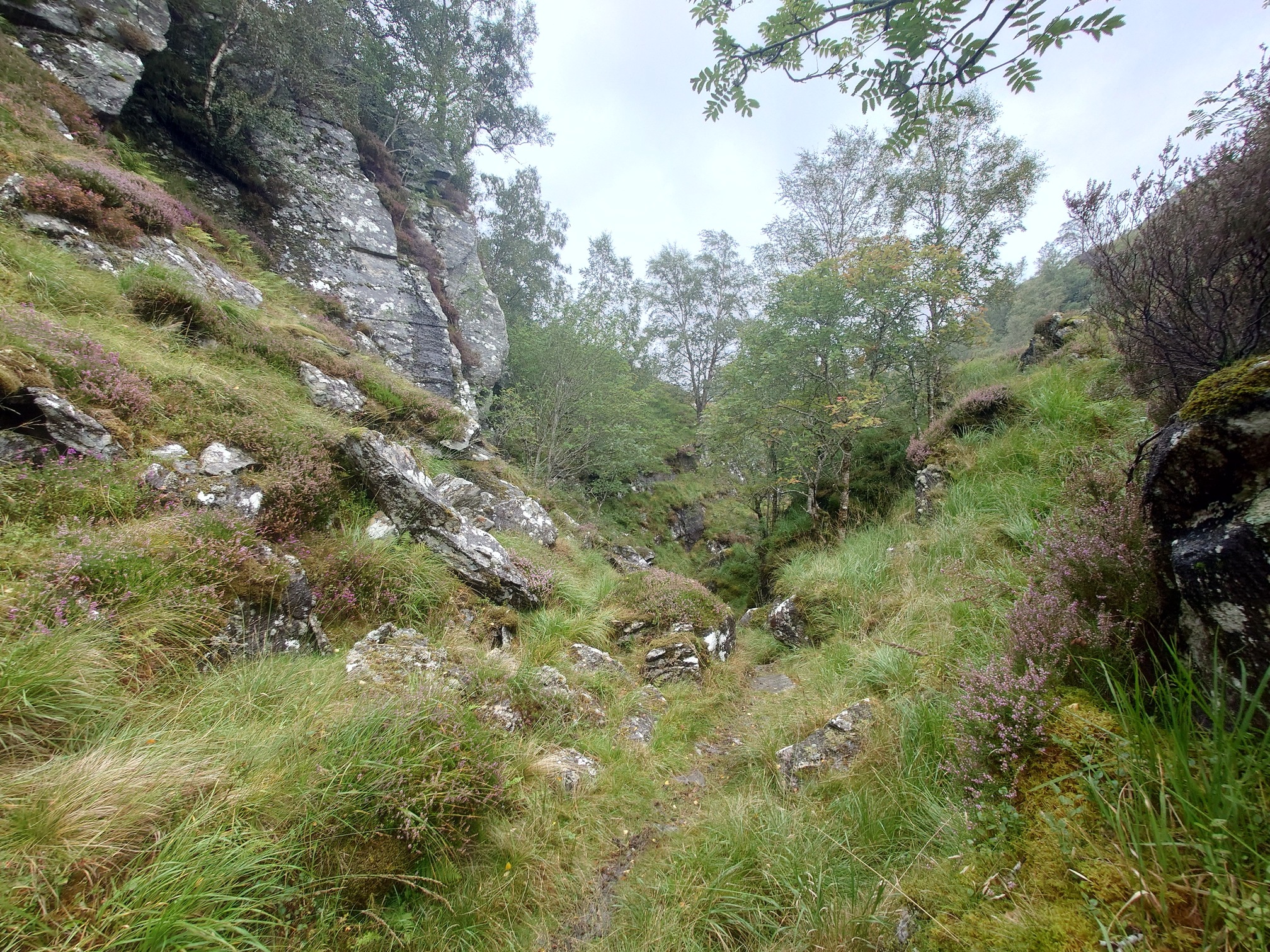
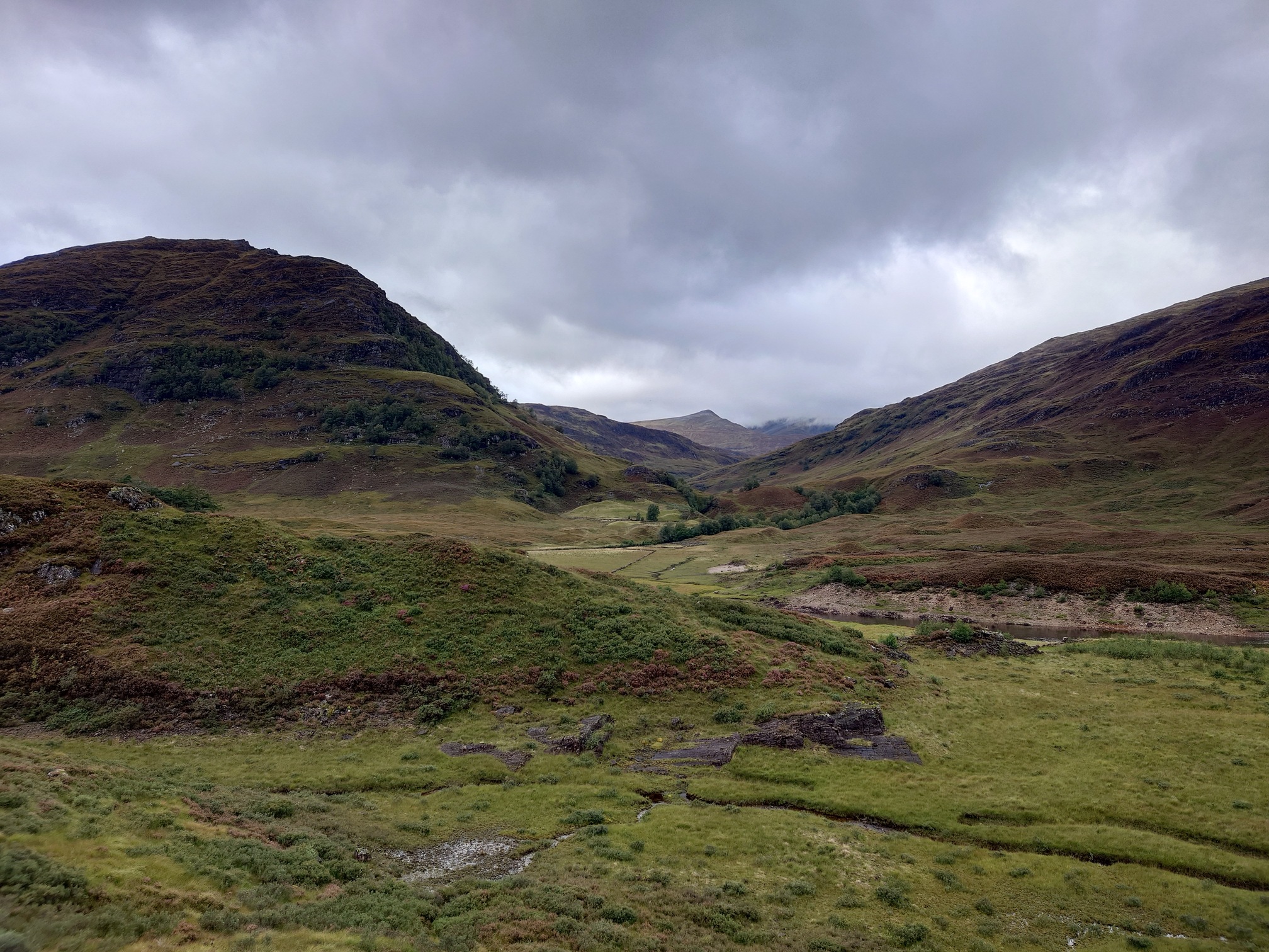
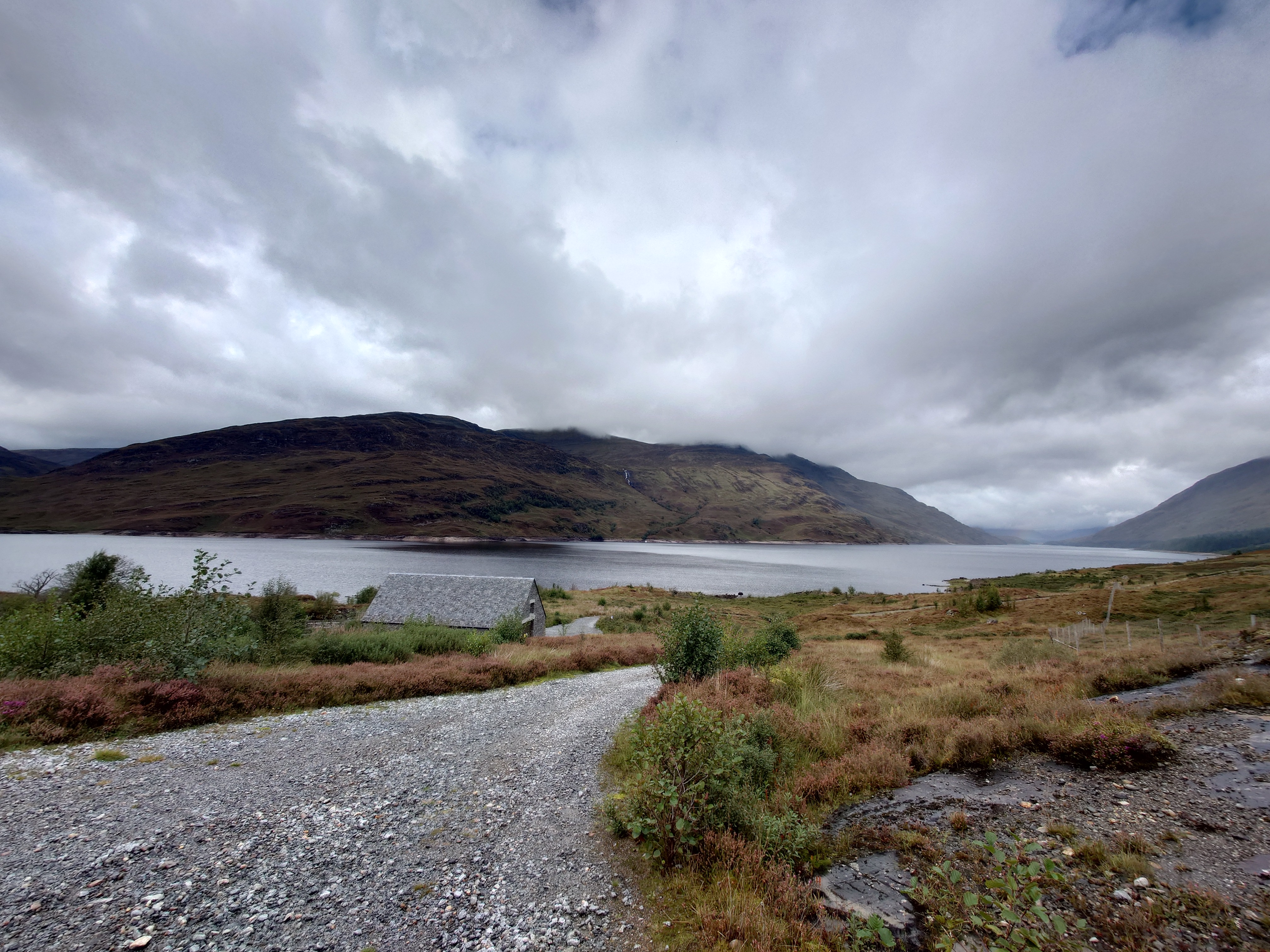
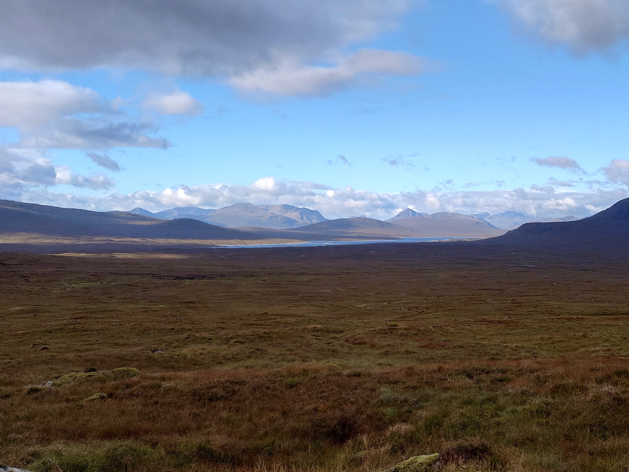
Unexpectedly, the path passed through a very lovely and narrow ravine, before opening up again with a view to the foot of Loch Trieg and a distant view of Creaguaineach Lodge.
 |
 |
I reached the lodge just in time for afternoon tea, sheltering in a copse of Scots Pines on a rise behind the lodge, which is disused and boarded up and probably not far off collapsing. (It was still being used as an unoffical bothy only a few years ago). What a spot.
There was a memorial plaque on one wall to a William McCourt, “who spent many happy days fishing on Loch Treig with family and friends. 9-12-1925 to 25-11-2014, Gone Fishin’ by Dalmar Pepper”
 |
| I didn’t take many photos here as it was chucking it down |
 |
| The path crosses the Abhainn Rath river |
 |
| Looking back the way I’ve just walked |
After the footbridge, the path became a small, well made-track, that looked quite old and capable in its time of carrying a morris minor or old landrover. It skirted round the south end of Loch Trieg and I could see a smart looking building up ahead, below the slopes of Garbh-bhienn. A train went past on the hillside and I did wave but was probably much too far away to be seen!
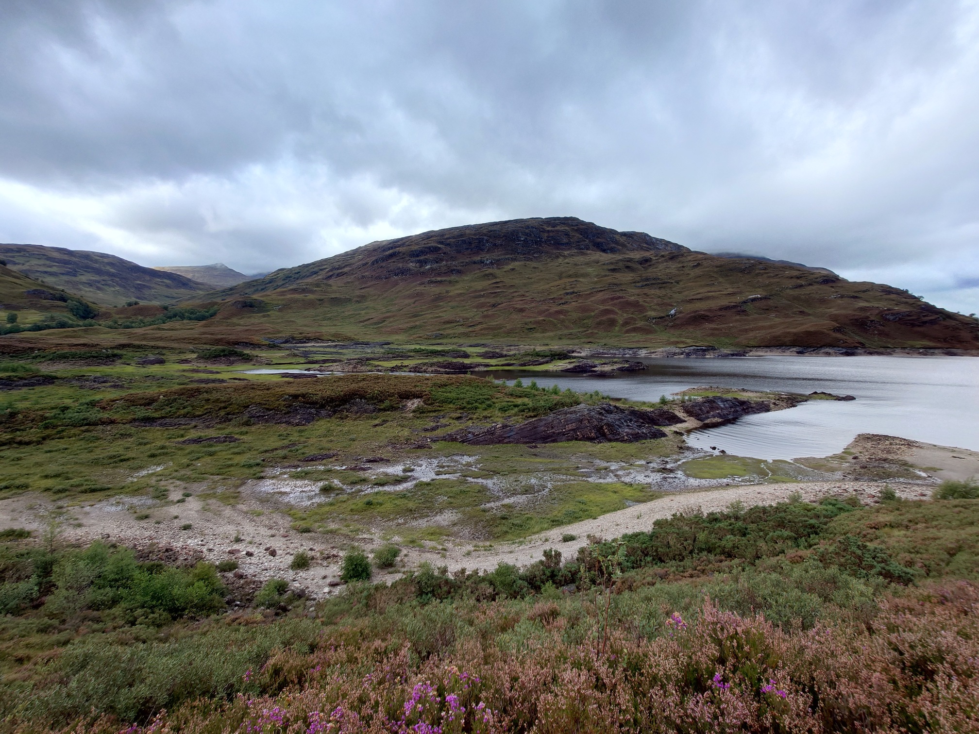 |
| Creagan a’ Chaise behind the Loch |
 |
| Garbh-bhienn behind Loch Trieg. The line of trees on the distant slope marks where the West Highland rail line runs. |
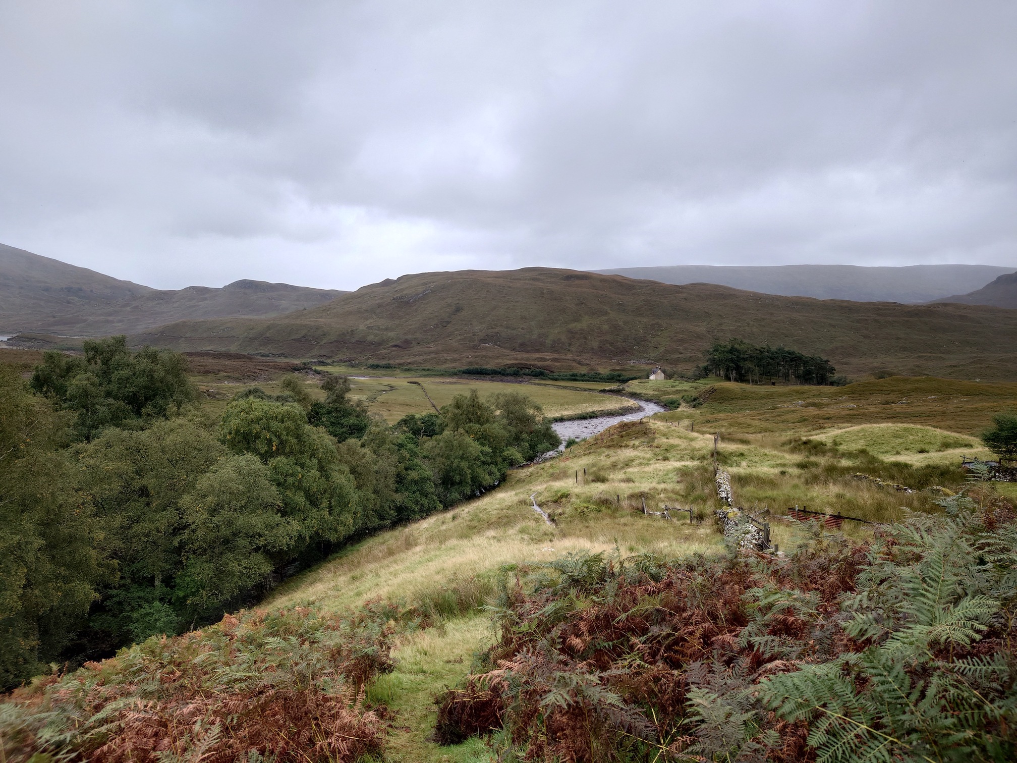
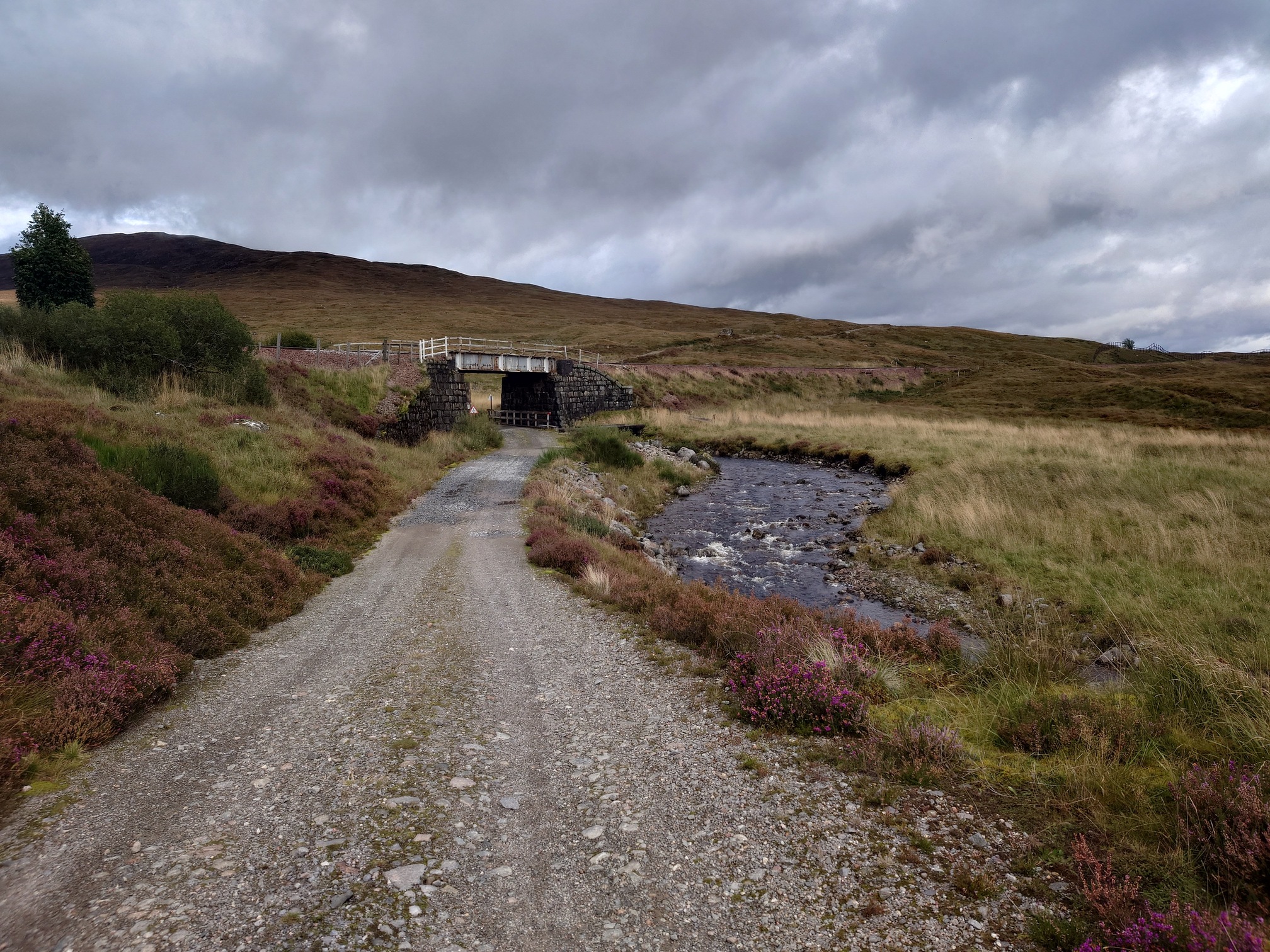
The views were stunning up the loch, and eventually I reached what I thought might be a new build cottage of some sort, but was actually part of the Corrour hydro scheme - a non-descipt, windowless stone building. Here I joined the newly installed access tracks, hard, broad gravel roads. They aren’t scenic and they aren’t much fun to walk on after a while; you can walk fast but the hard ground really starts to hurt. I was also quite tired and had wet feet.. I made it as far as a rail bridge and stopped for a snack of Chorizo and Babybels.
 |
| The Hydro building peeking out from by the loch |
 |
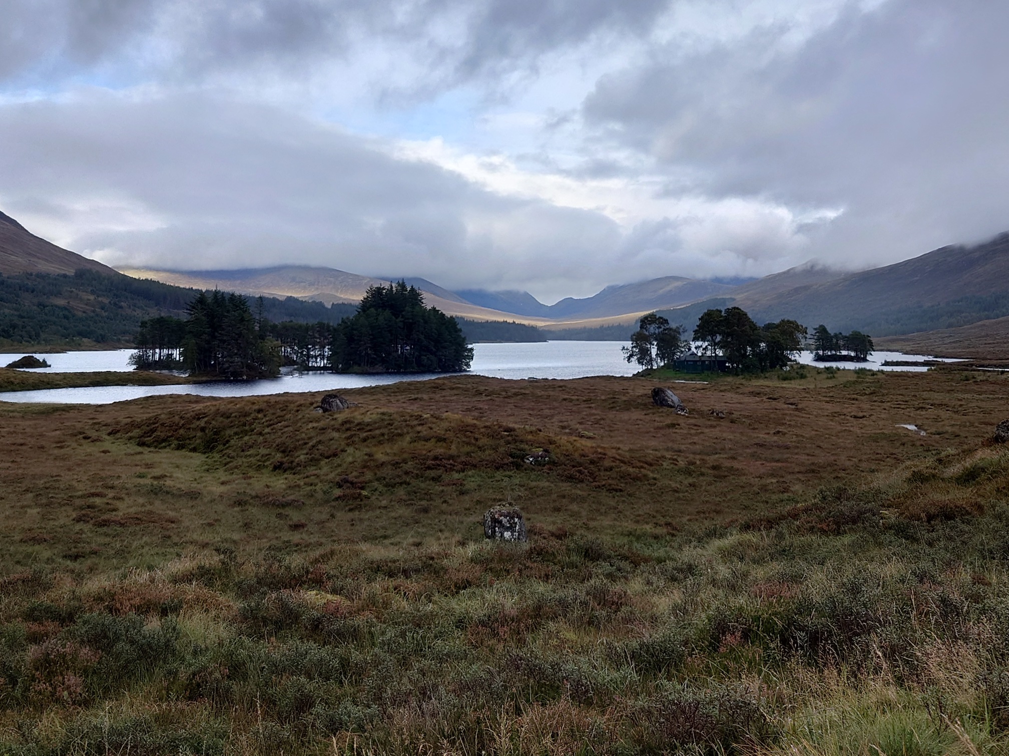
Ideally, I’d have taken the muddy path that ran right next to the rail line all the way to Corrour Station, but that would be an extra few kilometres to the Youth Hostel where I wanted to camp, and I felt too tired. Instead, I slogged along the road for another couple of hours. Through the rainy weather I coiuld see Corrour Station, a white dot in the bog. I rounded a corner and Loch Ossian came into view, with patches of Scots Pines and the Hostelling Scotland’s Loch Ossian Hostel.
 |
| Corrour Station in the distance.. |
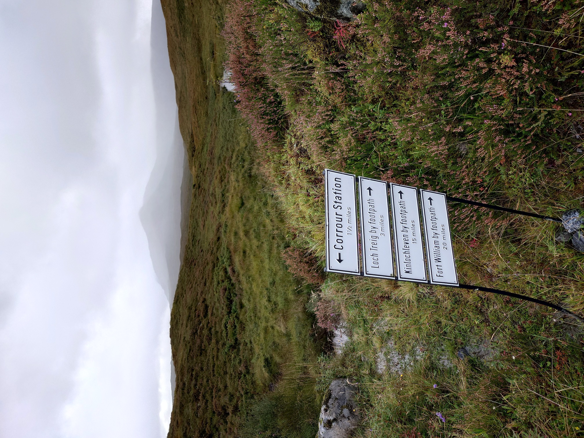 |
| I love how there’s always direction signs, even in the remotest bit of the country |
 |
Loch Ossian Youth Hostel was a welcome sight, I think I’d walked 30km with soggy feet and was definitely feeling ready for a rest. I was happy to camp and pay to use the facilities of a hot shower and a kettle, however I had no cash on me - but Jan the warden happily let me stay with a promise of sending her some bird seed when I got home.
It really was a lovely spot to camp. The hostel was full (of cyclists - no walkers) and I slept fairly well, although it got quite cold overnight and I couldn’t stop thikning about all the electric panel heaters in the hostel.
I was greeted at 6am with a beautiful sunrise over the loch view, and a cycling group already heading off. I went into the kitchen where the others were quietly getting ready, it turned out the cyclist group had left all their rubbish from the night before neatly stacked on the kitchen table - very cheeky, as there’s no rubbish disposal at this hostel and you must take it all away with. After some grumbling from the rest of us about how rude they were, one of the other cyclists (on his way to the far North Coast) said he’d take it, rather than leaving it for the warden.
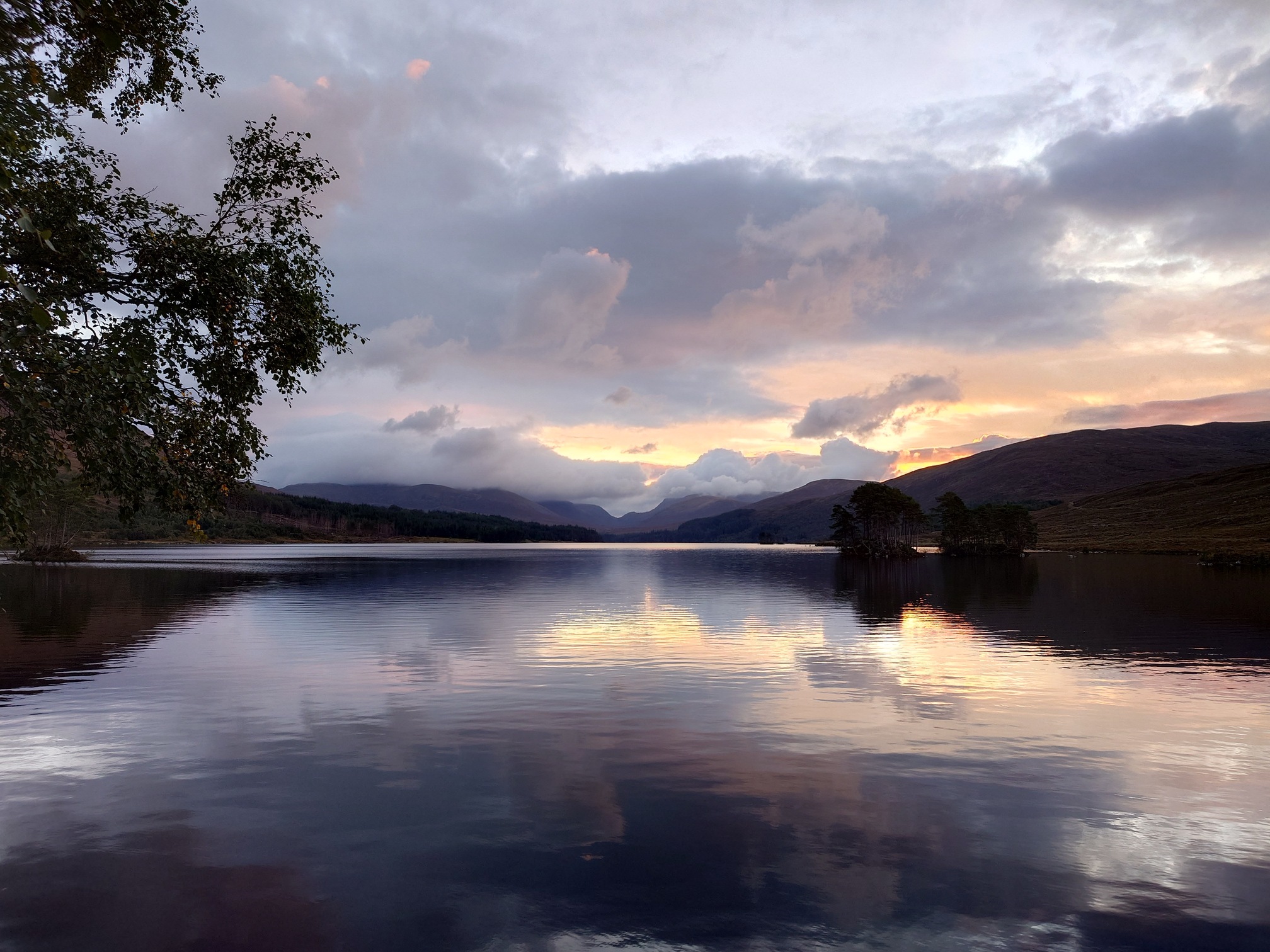 |
| Dawn from the tent |
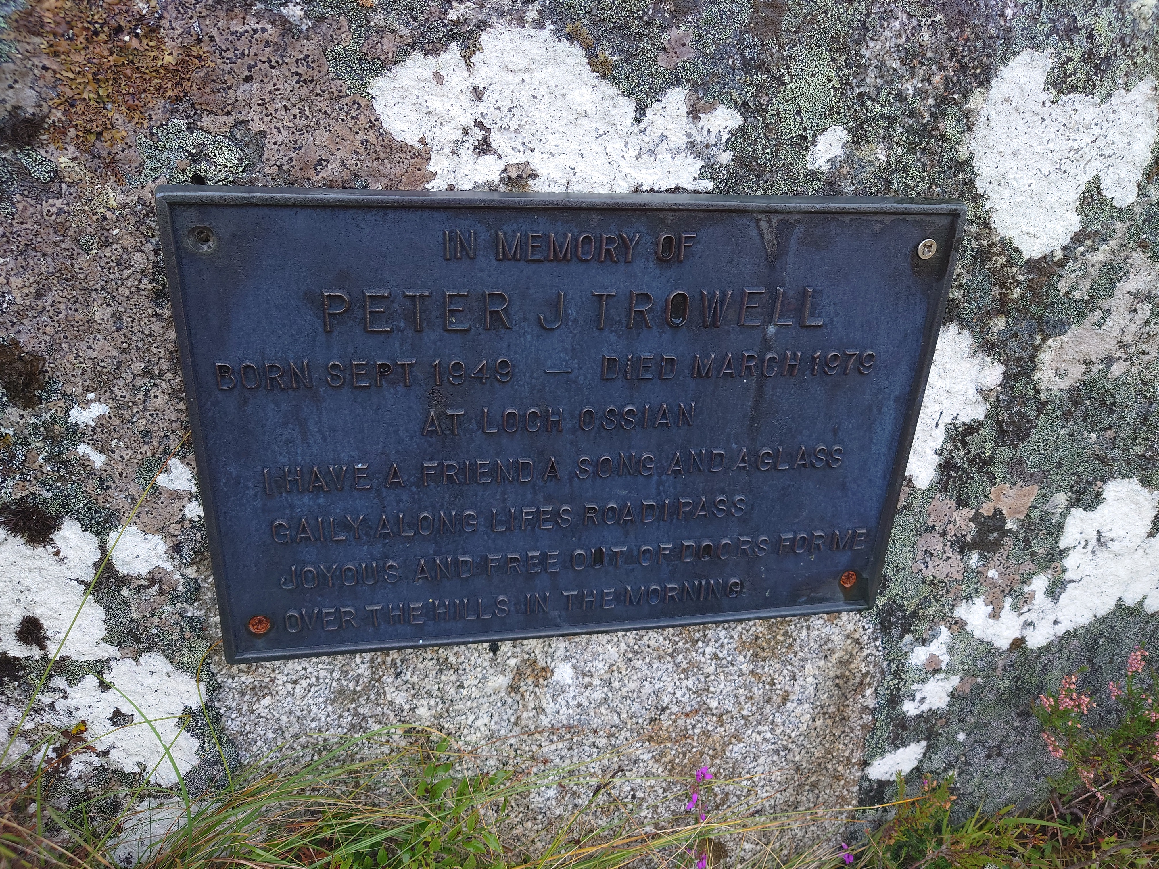
I packed up and set off, my boots not dry despite spending all night by the fire, but at least I had dry socks. At this point I had been wondering about climbing up Carn Dearg and following the ridge rather than the road, and I really wish I had. As it was, I didn’t think I’d have the energy to get up the slope with a heavy pack so continued, with the OS map indicating that the road should become a simple track soon. I passed Peter’s Rock, a memorial to Peter J Trowell, who was a warden at the youth hostel.
 |
|---|
| In memory of Peter J Trowell Born Sept 1949 - Died March 1979 At Loch Ossian I have a friend a song and a glass Gaily along lifes road I pass Joyous and free out of doors for me Over the hills in the morning |
In 1979 he over-wintered there alone, working on refurbishment, and was reported missing when he didn’t check-in as usual. He wasn’t found until the Loch unfroze several weeks later, and it is presumed he must have fallen into the water while working by the loch, and sadly perished.
 |
| Peter’s Rock (in the foreground) has a suitably beautiful and contemplative setting |
A newspaper cutting about the search for him can be found here; I found this information about Peter from this post on WalkHighlands.
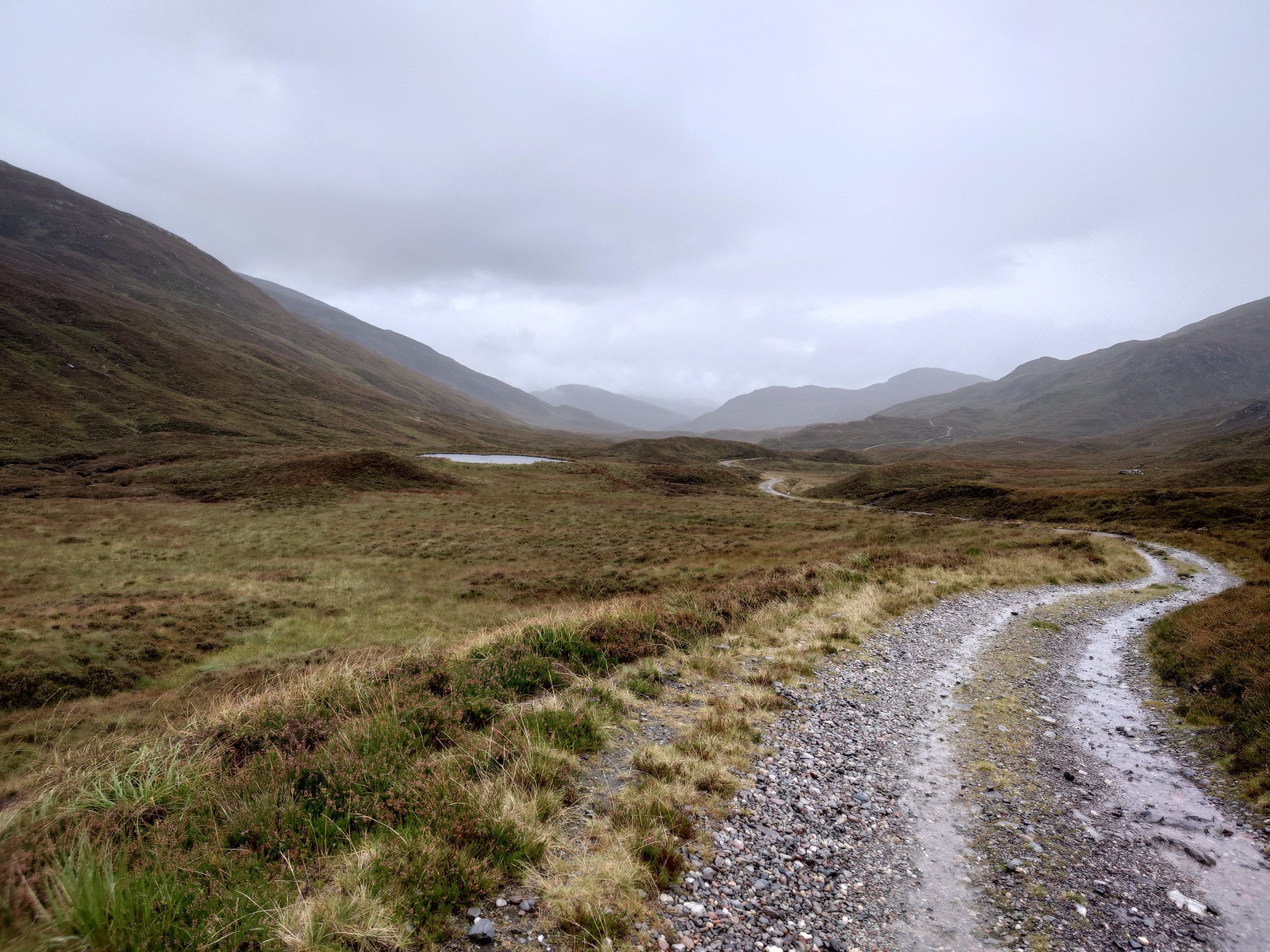
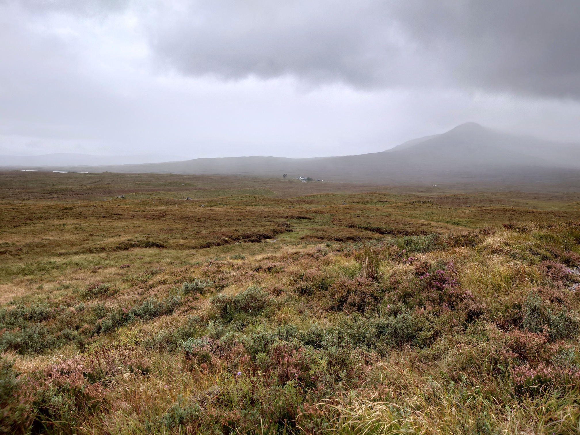
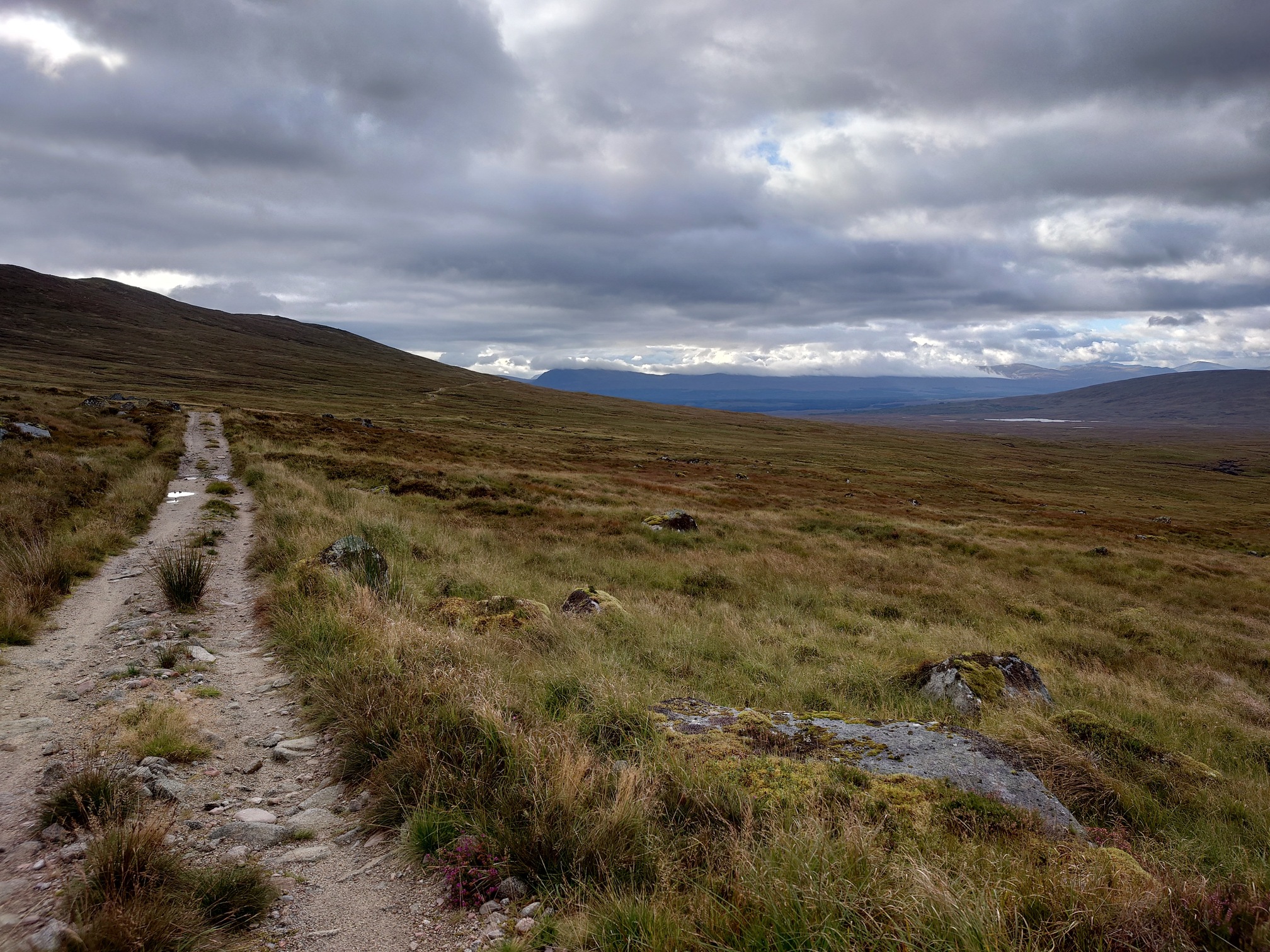
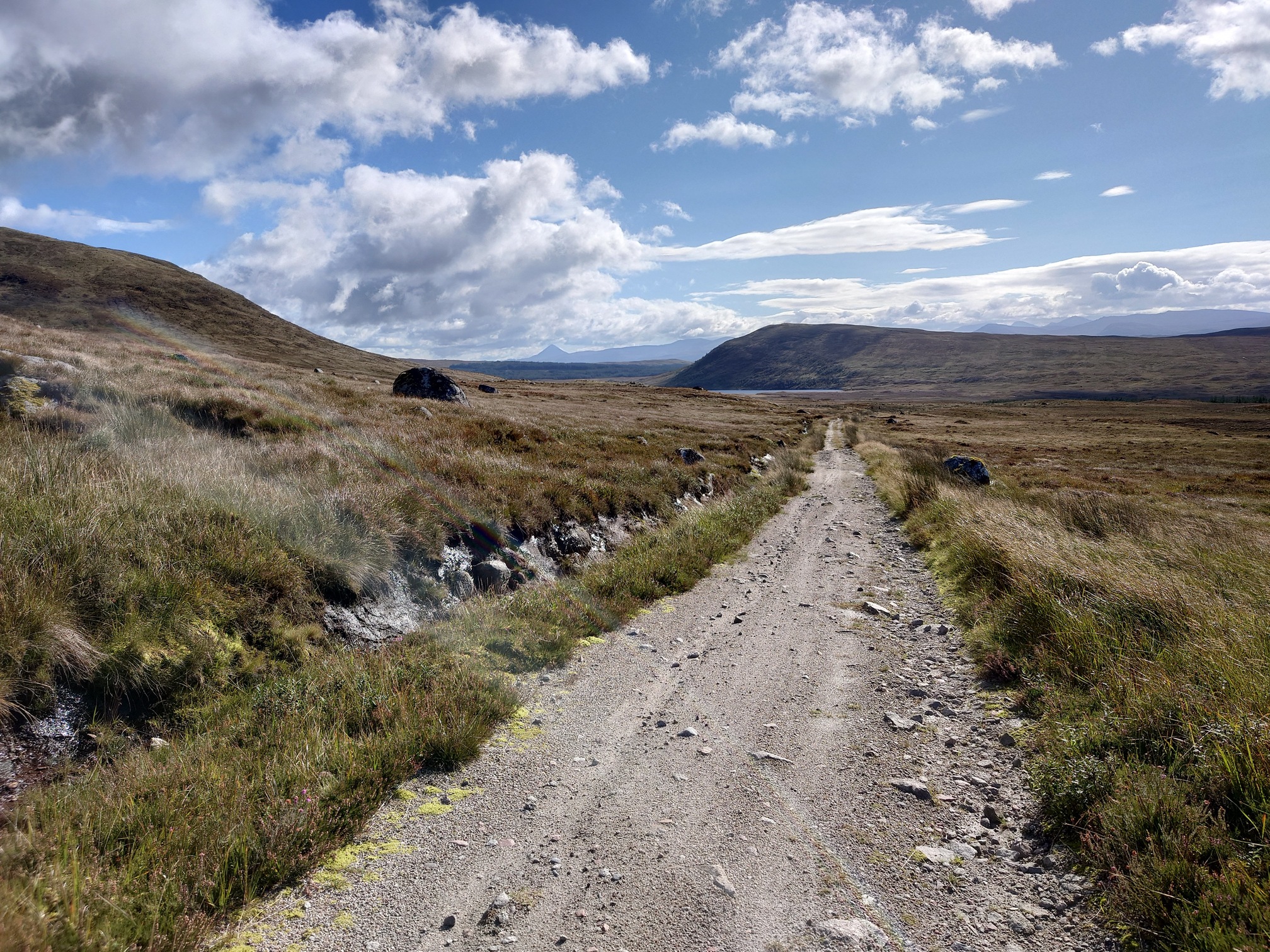
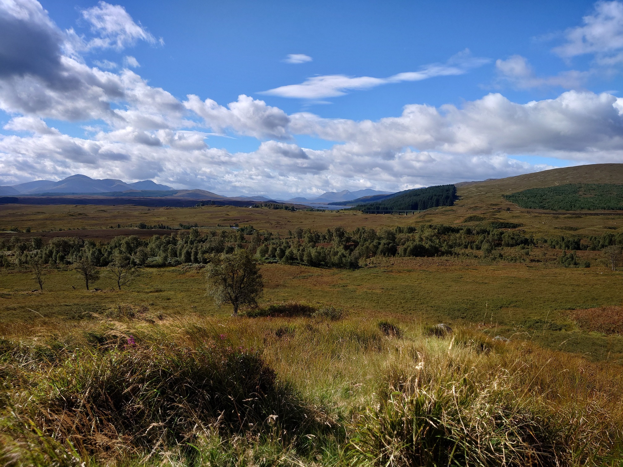
I carried on along the road, reaching the treeless expanse of Corrour Forest. Far ahead, I could make out the West Highland Line. I heard the Caledonia Sleeper before I could spot it, traversing the featureless bog.
 |
| Stunning vista.. also it’s stopped raining! |
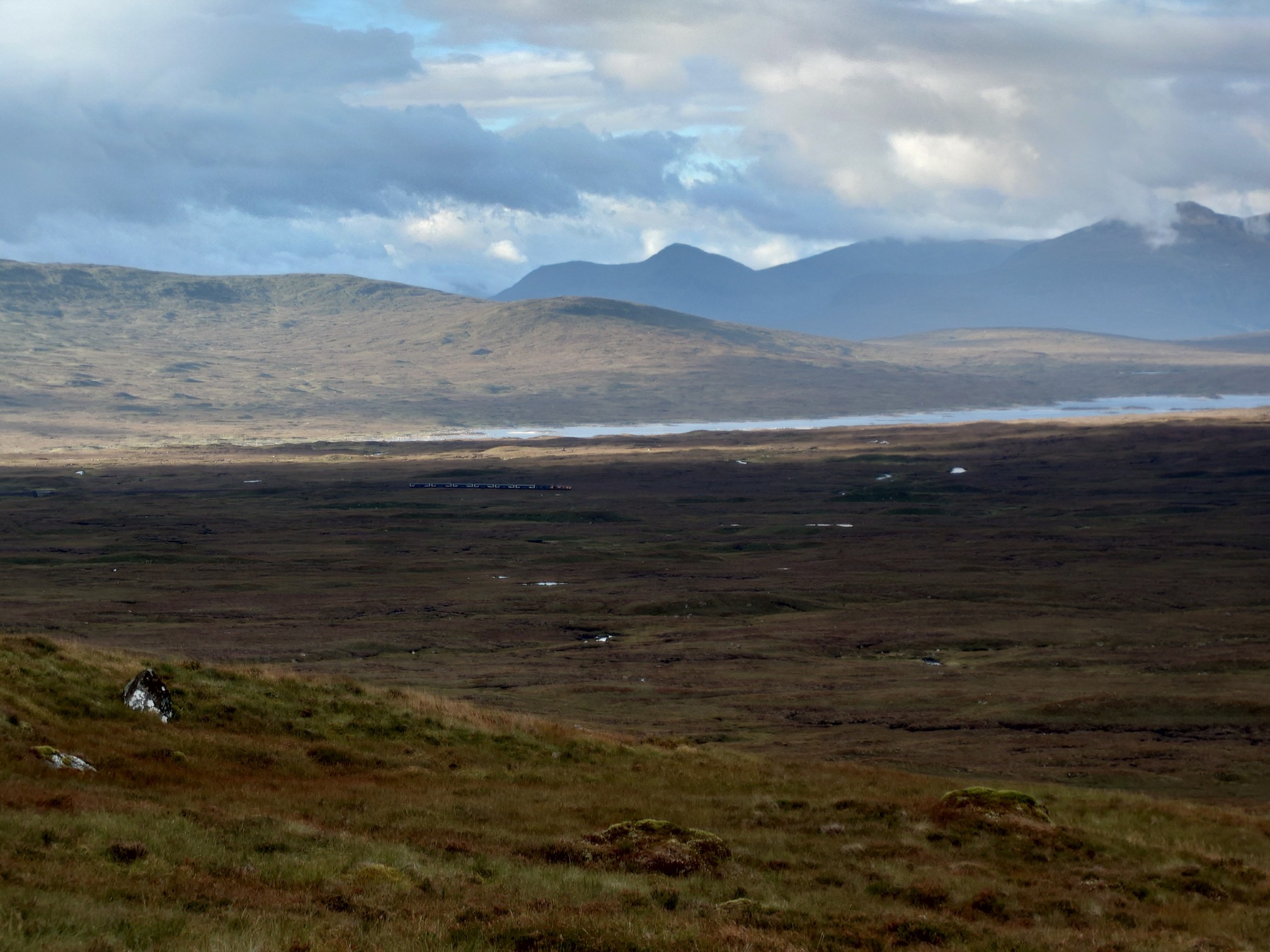 |
| The Caledonia Sleeper train in the distance |
 |
Two of the cyclists from the lodge caught up with me here, they were on tourer bikes and could only ride comfortably on the downhills, having to push their bikes on the uphills. They must think I’m an idiot carrying all this heavy bag and slogging along a gravel track for kilometres..
I stopped at Corror Old Lodge for a rest and a snack. It seems that it was once a very grand spot but according to Historic Scotland it was derelict by the early 1900s. After a snack, I kept going along the track and spied Schiehallion, before stopping for lunch at a spot with a very fine view towards Rannoch station.
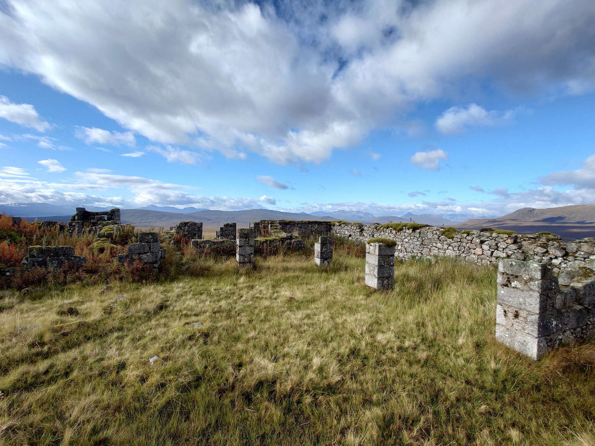 |
| Corrour Old Lodge |
 |
| Concial Schiehallion in the far distance |
 |
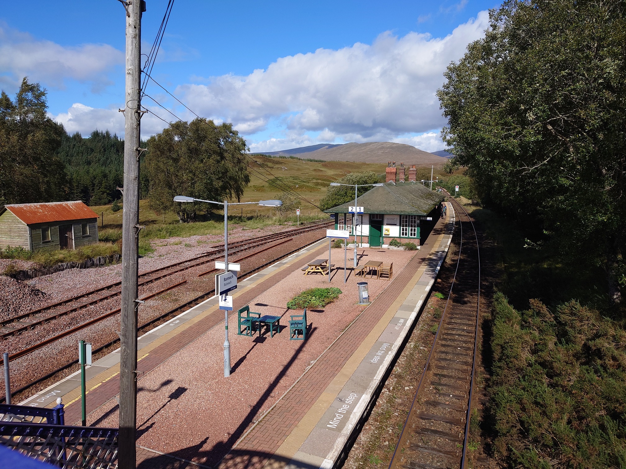
As I stood up after lunch, I was suddenly in vast amounts of pain. I think nearly 25km along the hard road with wet feet had done me in, and I still had another 10km to get to Rannoch station. Unlikely that I would make the 1230 train even if I wasn’t in agony! I decided to cancel the rest of the walk, which was a real shame as I am very keen to get across Rannoch Moor one day. Next time.
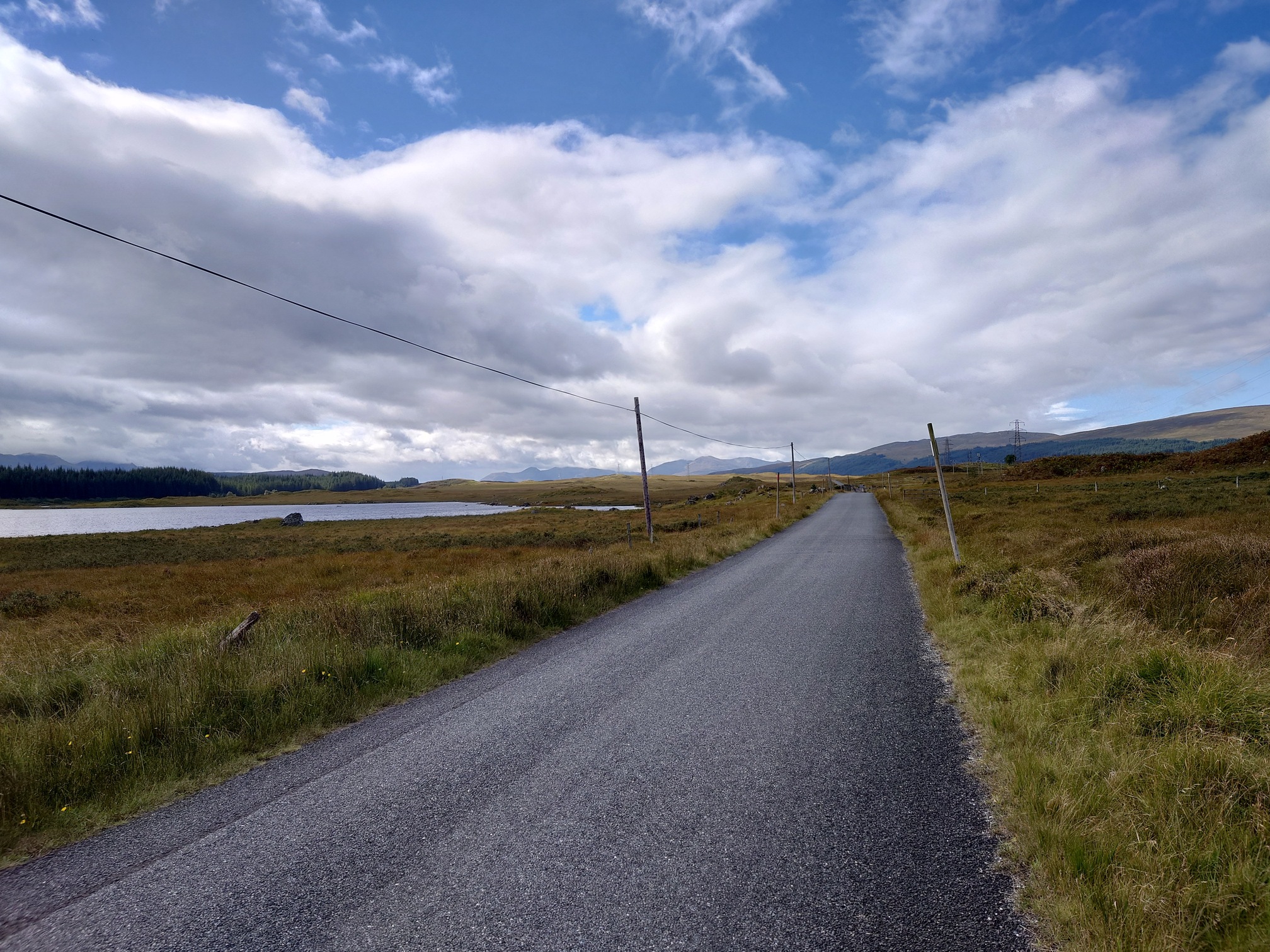
The walk took me down onto the tarmac B846 and into Rannoch, where I was praying there was a cafe, but even better - a self-serve 24 hours tea room with fresh milk for tea. bliss, as I had another 5 hours until my train back to the car and zero energy to do anything other than sit.
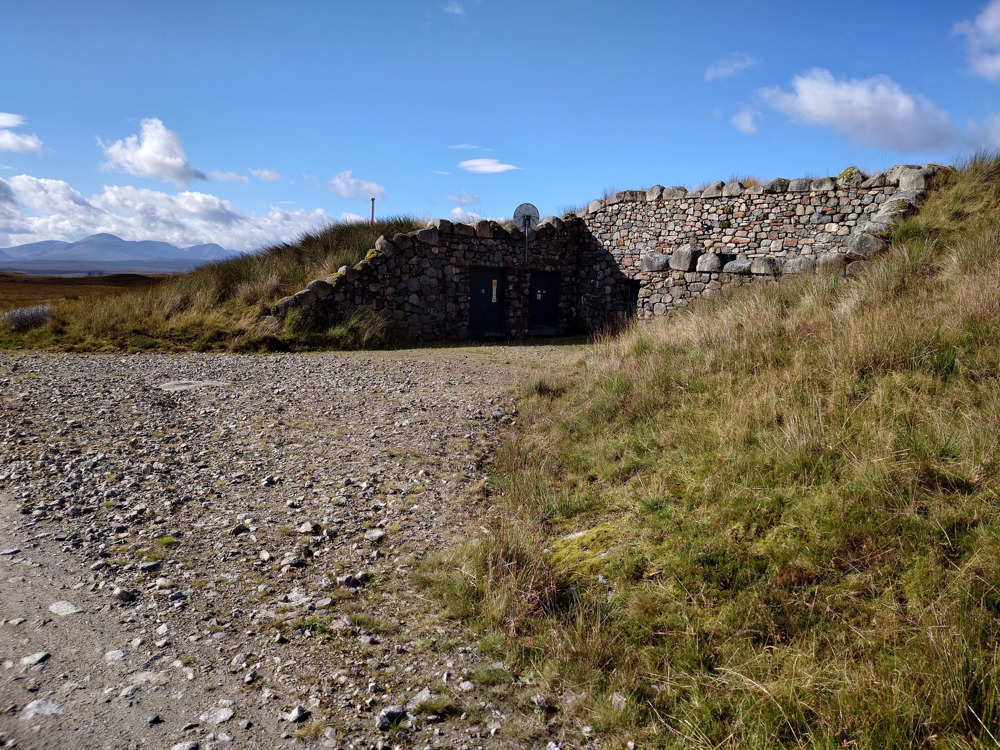 |
| Another Hydro Substation - fun fact, these all have wifi and the password is CorrourGuest |
 |
 |
 |
| Rannoch 24 Hour Honesty Box Refreshment Room |
I really did want to walk the whole 4 day route, but if I’d known most of it would be on gravel road, I would have stopped another night at the hostel and spent a day going up hills or walking a lap of Loch Ossian instead, then take the train back to the car rather than walking back to Rannoch. But I am really glad I went, the first day was brilliant as was the overnight at the hostel, and I’m very keen to get back up here to do more.
| Map of route taken |