For a nice multi-day that wasn’t too taxing, at the end of September I thought I’d spend a few days walking The Cumbria Way, a relatively low level route from Ulswater to Carlisle, with just two steep bits. I parked at Carlisle, took the train to Ulverston where I spent the night, then as the first 20 or so km were supposedly boring farmland so I thought I’d skip that bit and get the bus from Ullswater to Torver, although that did mean missing out quite a nice section up by Beacon Tarn.
I gave myself three days of around 20km and one day of 13km. The first day, from Torver to Elterwater, was about 20km; I stopped at Coniston to pick up some snacks and lunch. The delightful lady in the Co-op was very excited, and asked if I was doing it for tiktok or instagram. No my webpage no-one reads.
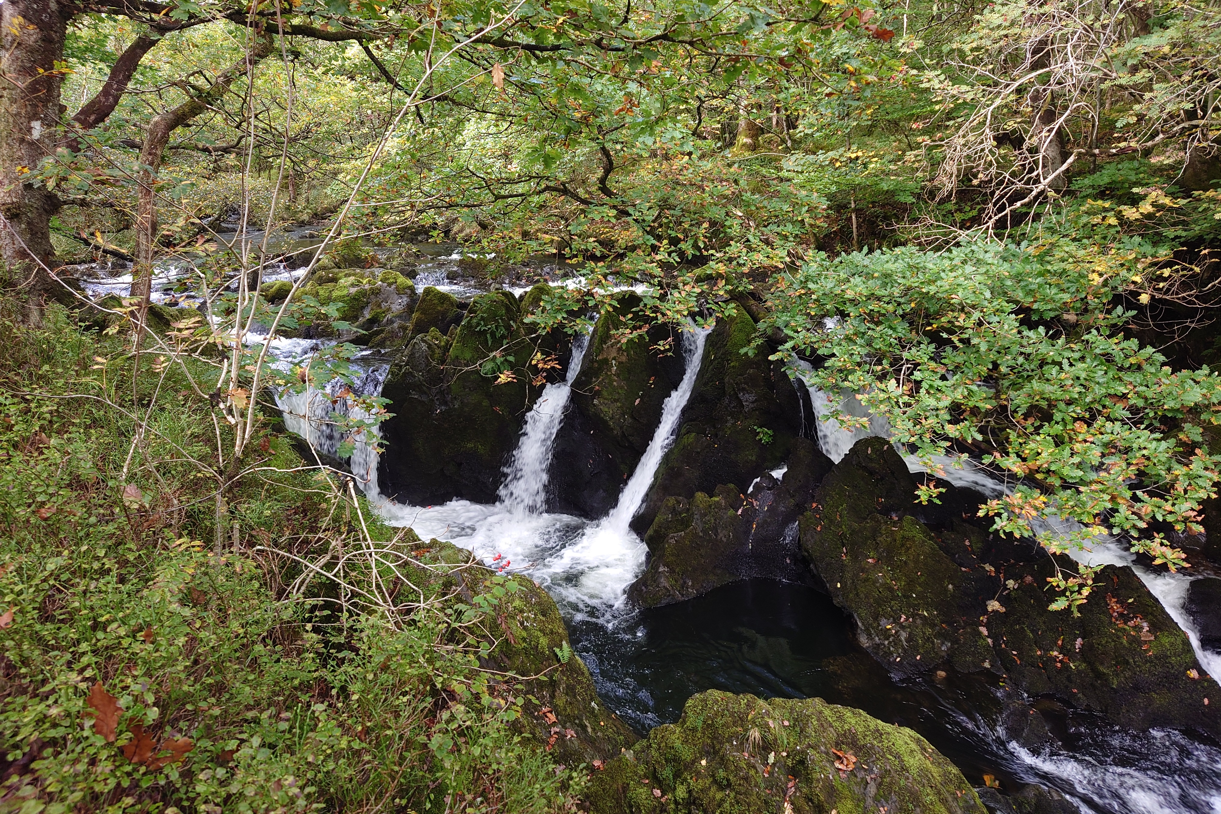
The walk was lovely, without any real challenging bits. The only hoards of tourists were around Tarn Hows, but it was still a really beautiful spot. I took a minor detour to stop at Colwith Force for lunch.
As I followed the River Brathay and came into Elterwater, it got busy again, but Elterwater itself was quite quiet. I’d made the Hostel by 2pm, meaning I still had hours of daytime yet.
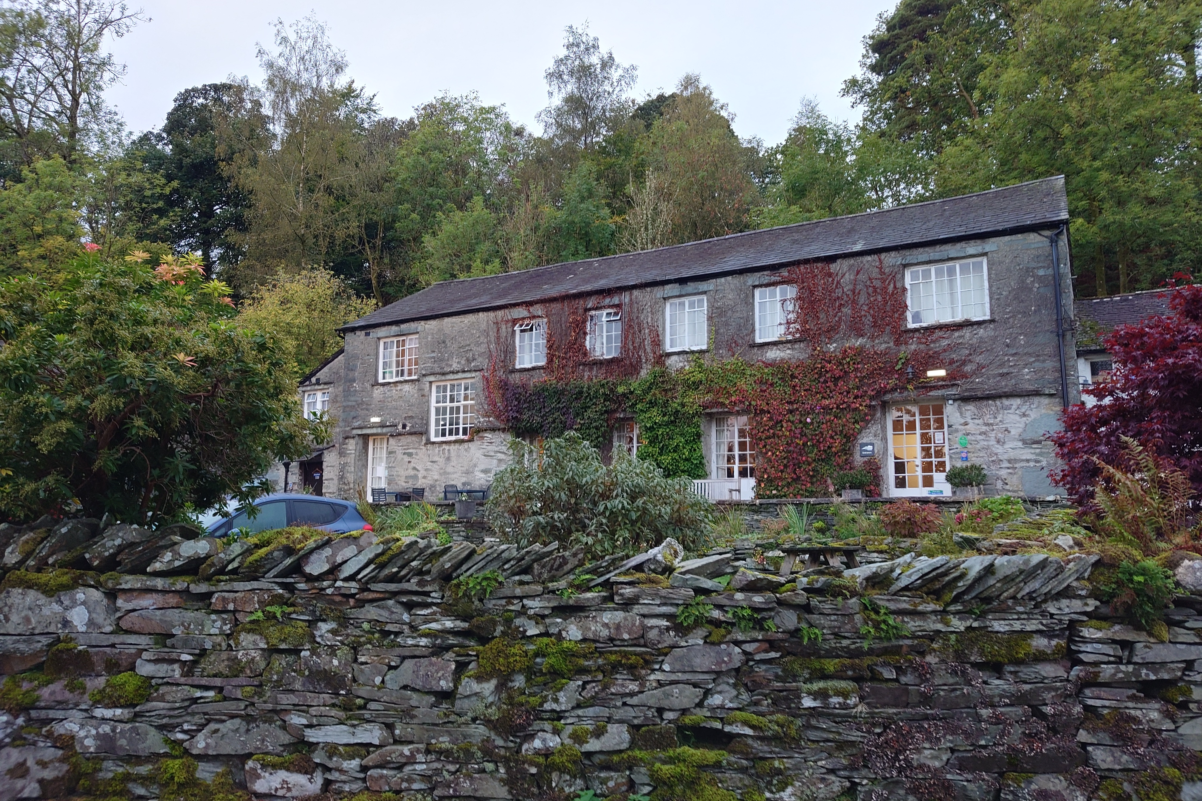
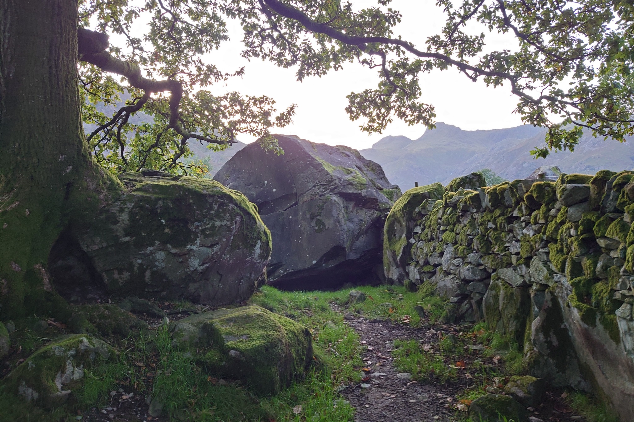
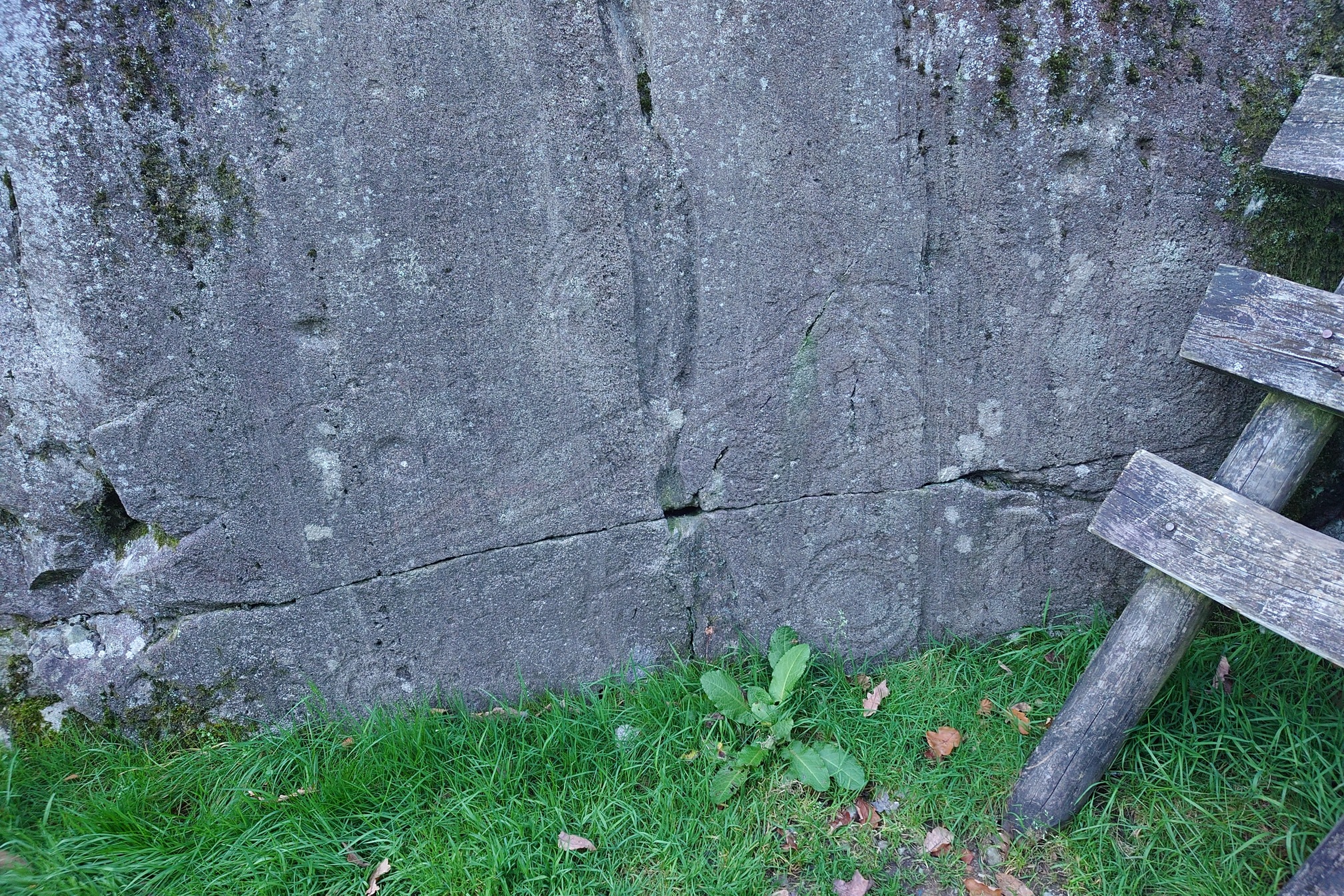
At Elterwater Hostel I sat and rested and drank lots of free tea until they came to open up the hostel, dropped my things off in the dorm, had a hot dinner, then went out to look up some nearby cup & ring marked rocks on the Langdale Boulders.
Very different to the concentric circles cup & ring marks you find see in Northumberland.
Back at the hostel, there was a few people sitting around chatting in the common room, so I joined them. It was a very lovely evening, with most people either the Cumbria Way, plus two young Australian backpackers. I didn’t sleep brilliantly in a shared dorm, but was up early and had breakfast with one of the Cumbria Way guys before setting off.
I’d realised that I could probably make Keswick (33km) that day, rather than split the walk with a stay in Borrowdale and end up getting into Keswick at 11am the next day with nothing to do. Why not push on? I’d see how I feel.
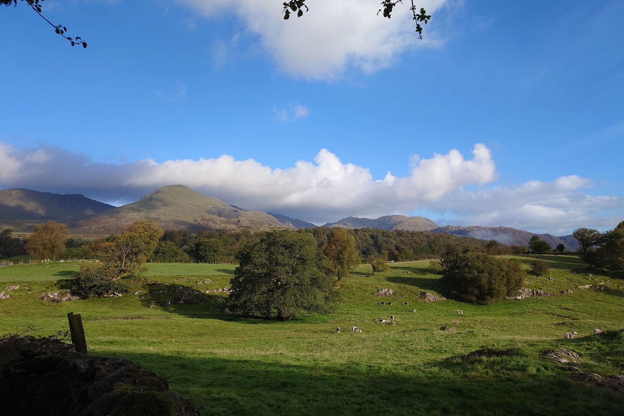
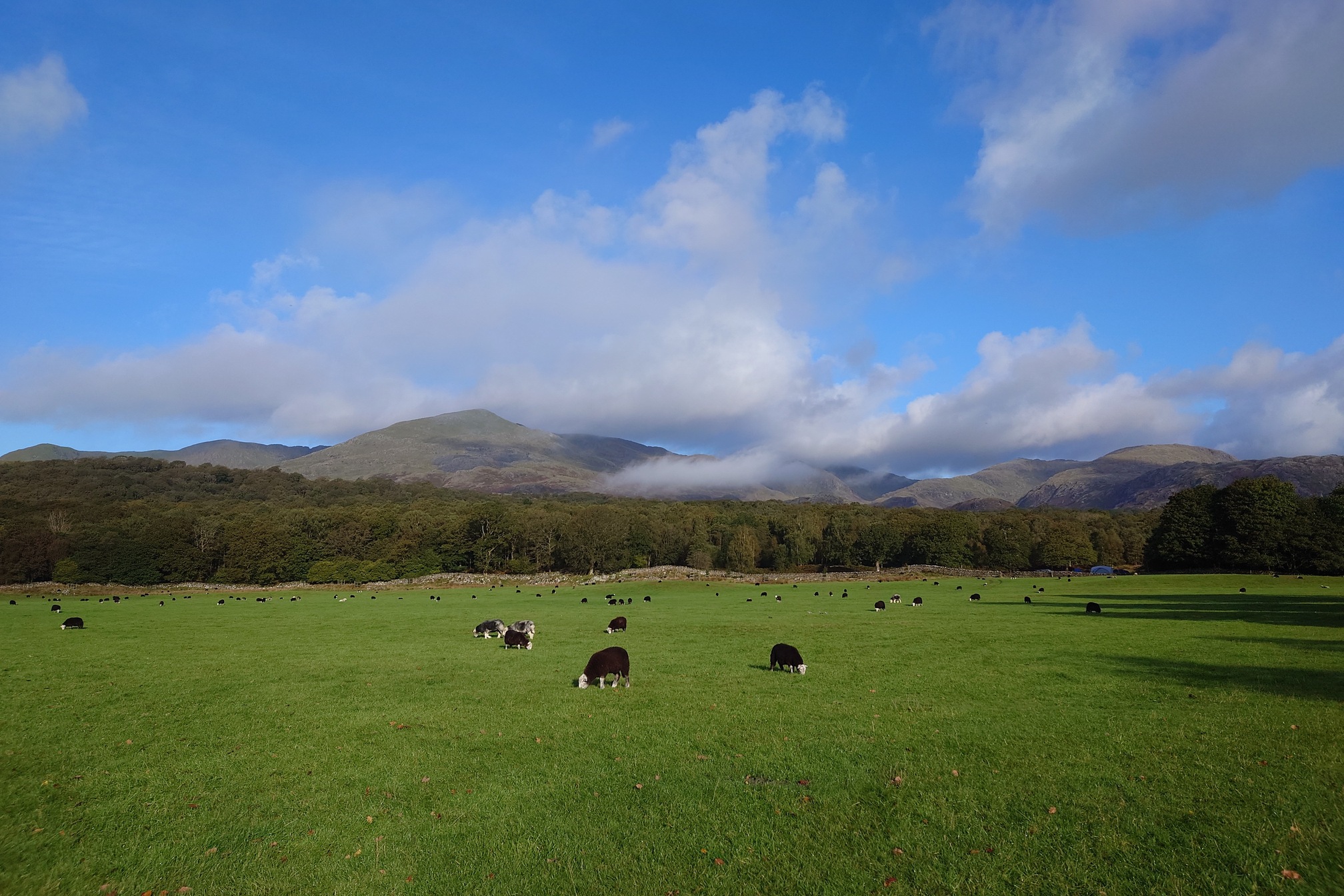
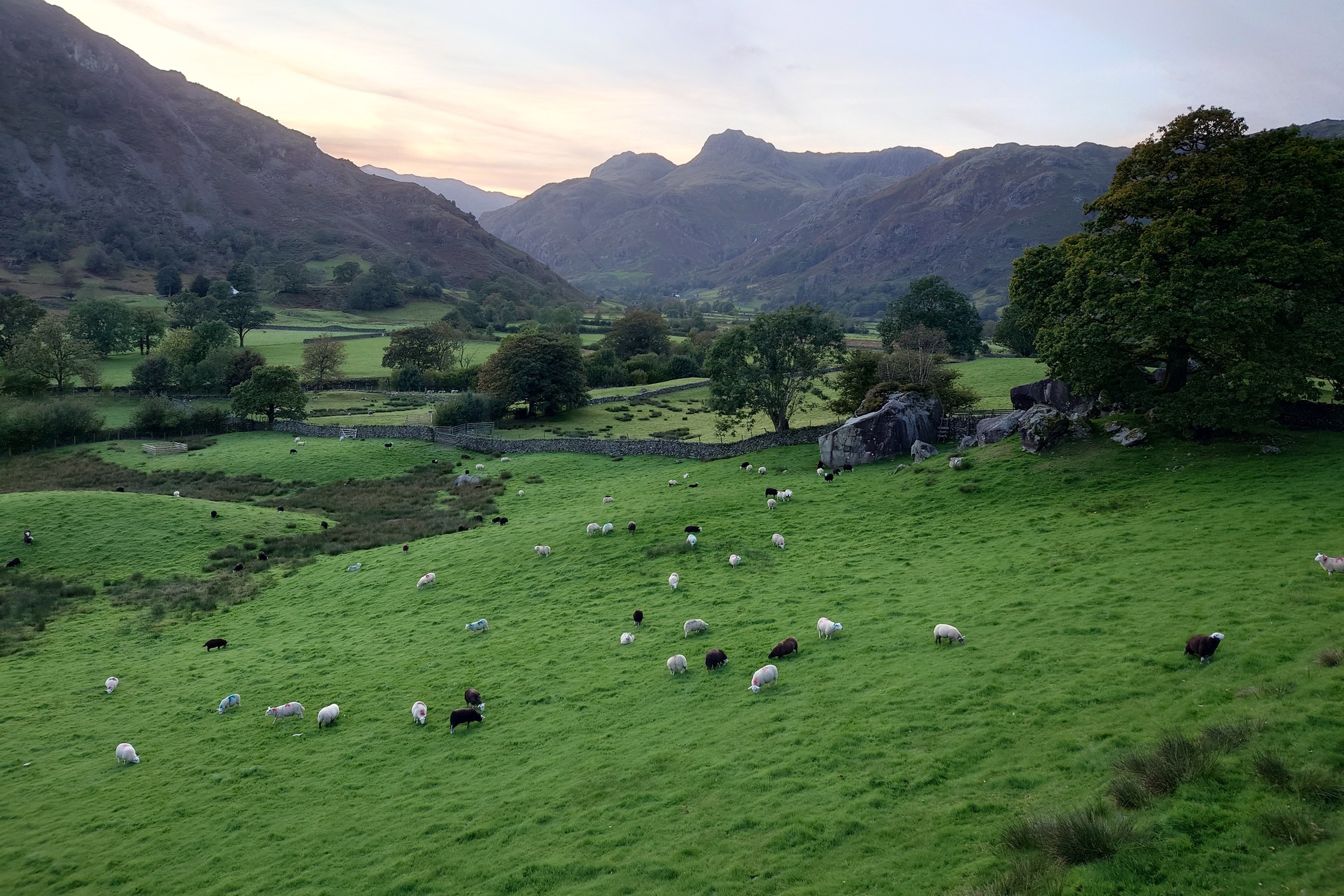
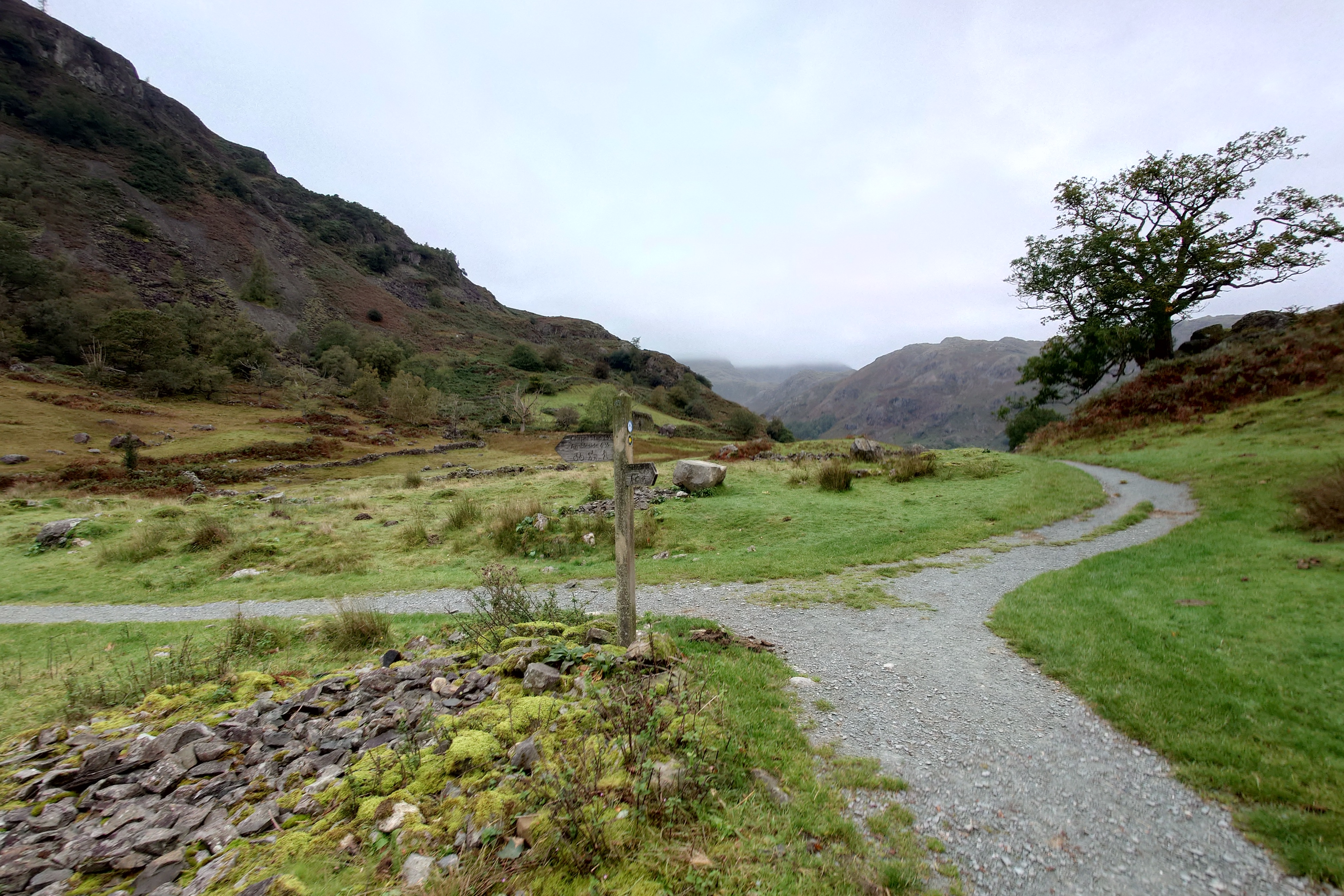
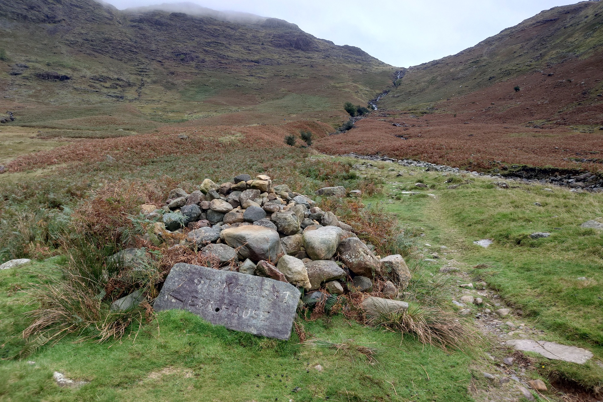
The walk along Langdale was beautiful, and the guy from this morning caught up with me. It was really nice to walk with him and chat, a firefighter from Manchester aiming to do the whole Ulverston to Carlisle in 4 days. We reached the foot of the Stake Pass and he forged on ahead, but with him setting the pace for the first 10km I’d made really good time.
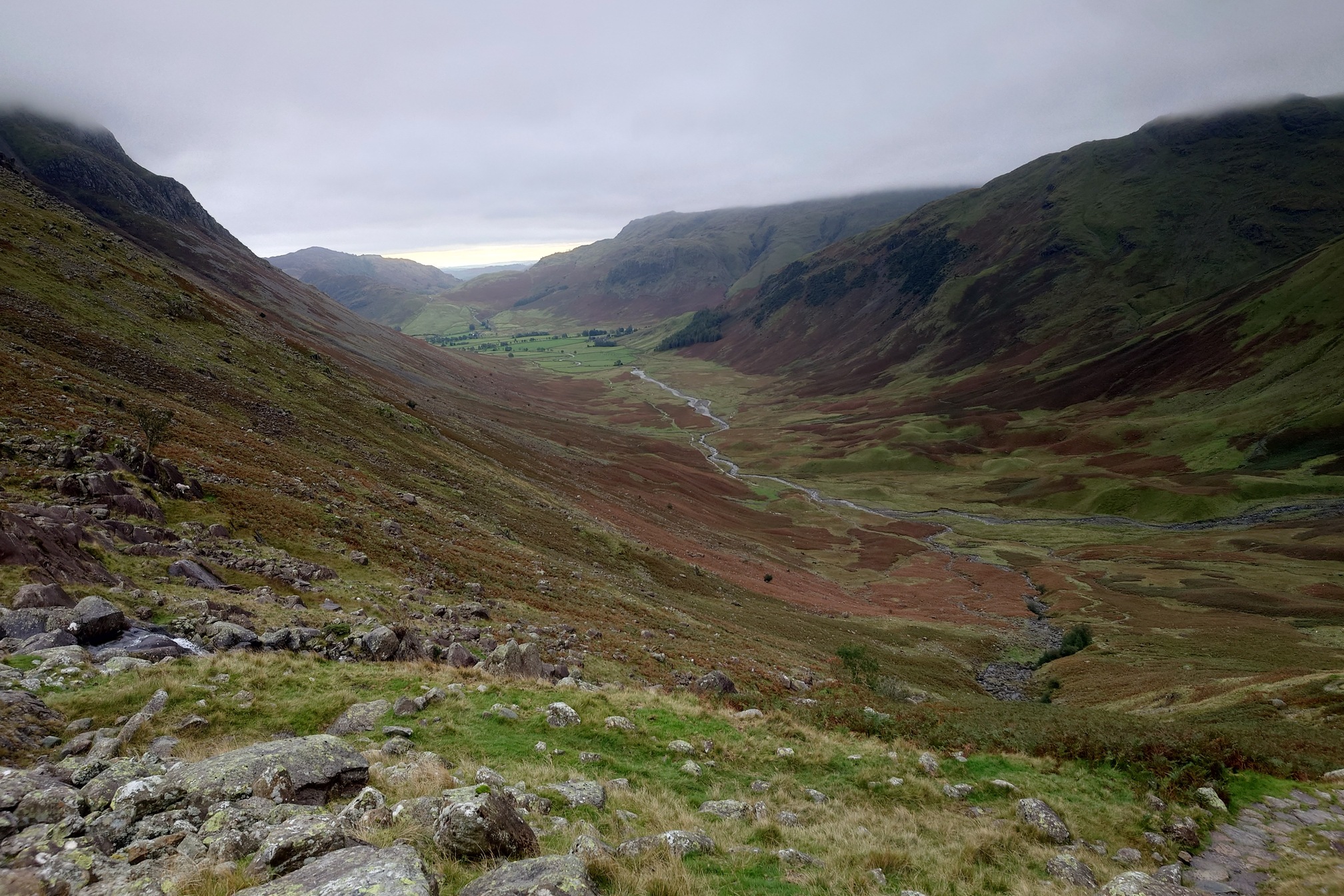
The climb up was steep, but not too bad with plenty of stops. I could see a few other folk making their way along the valley below.
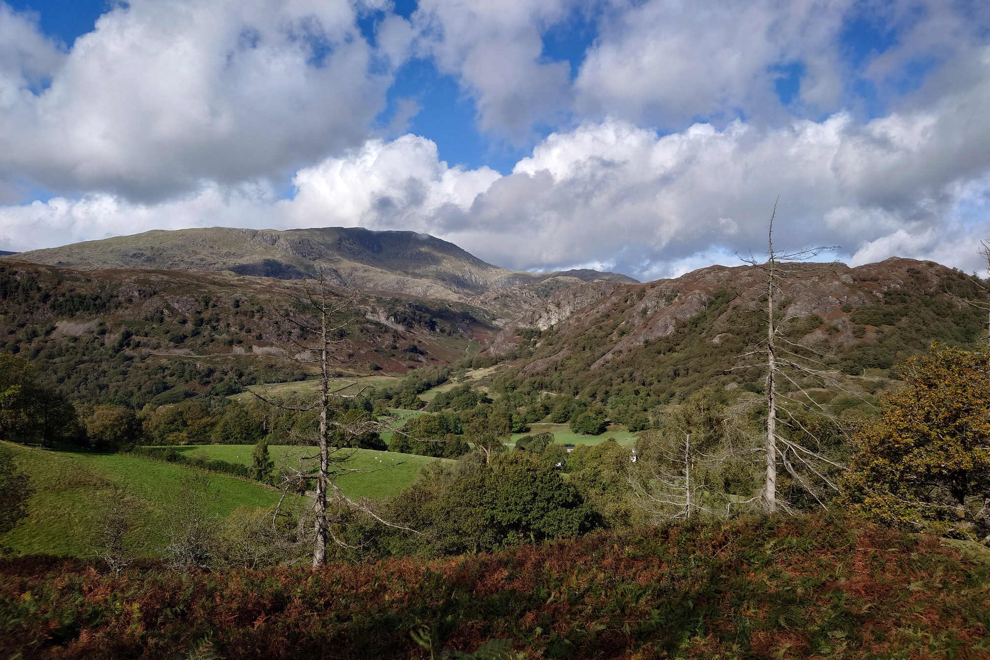
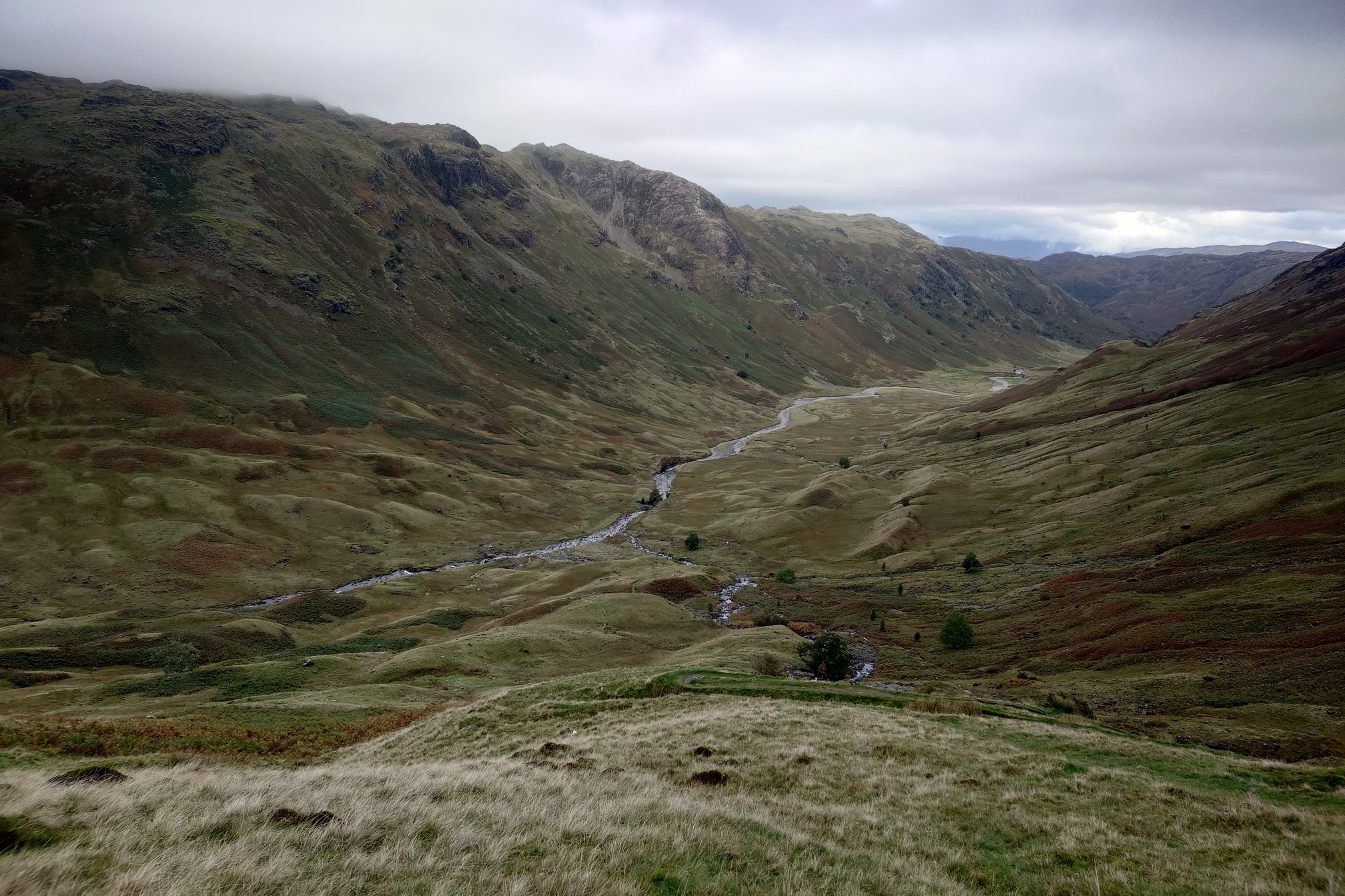
The views were stunning, then into an atmospheric landscape at the top of Langdale Comb. Other paths led off to the left and right, tempting me to go off and climb some hills, but I thought best to press on. The other side of the pass was a steep drop down into Borrowdale, with equally stunning views.
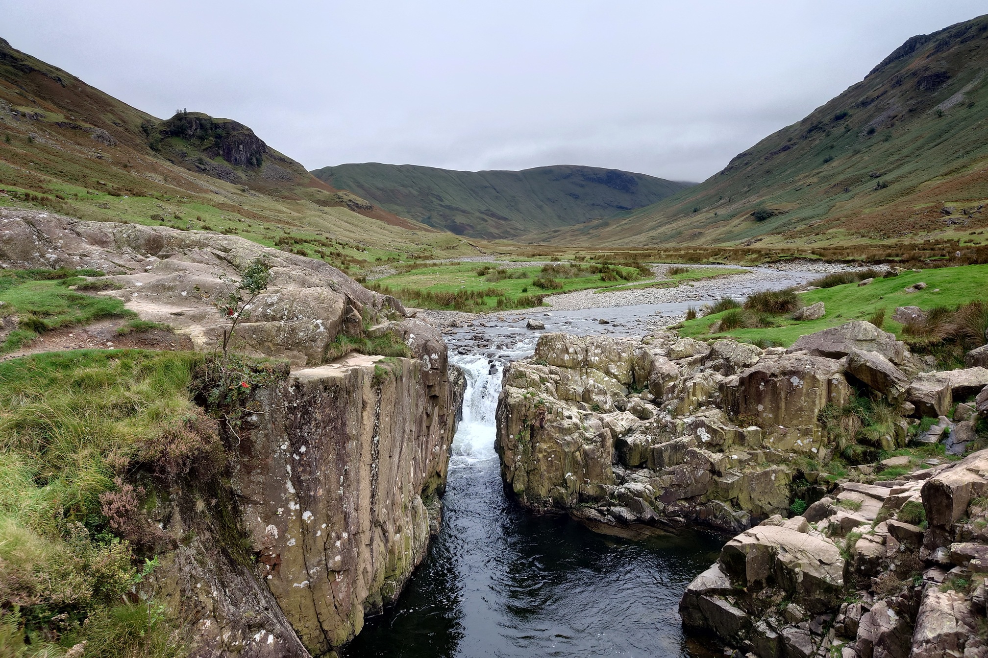
I started to get a painful knee (it’s knee good) but took a painkiller by an energetic waterfall and was fine after that, then I had Borrowdale to myself for a beautiful 5km stroll down to the waterfalls at Langstrath Beck.
I stopped at Rosthwaite’s Flock In Tearoom for a cup of tea and asked if there was a picnic site somewhere in the village where I could eat my sandwiches, they very kindly said I could eat in their cafe’s garden if I tried not to be too obvious about it. After a nice rest and a use of the village facilities, I had just 13km to go to Keswick, mostly along the broad paths by Derwent Water.
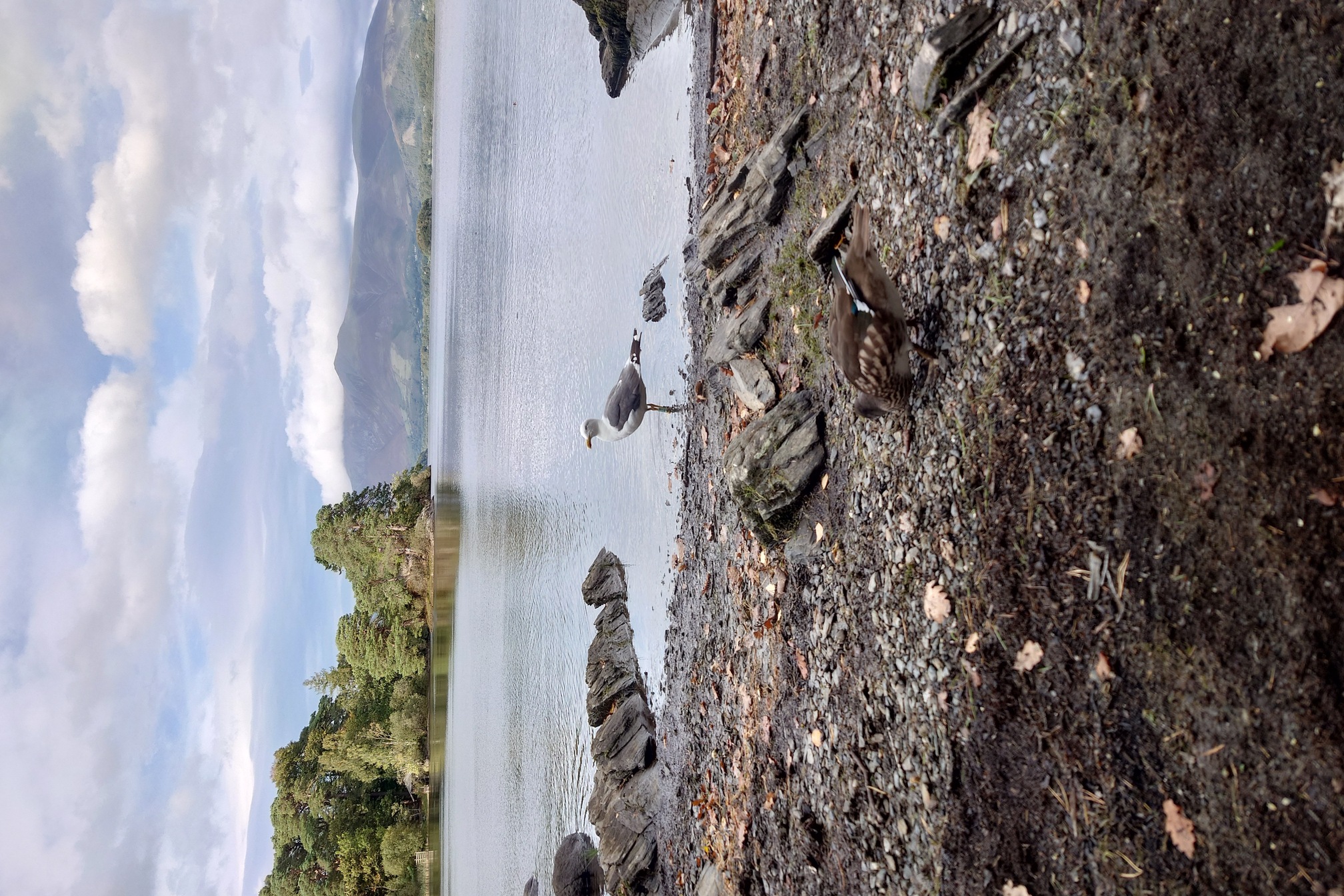
The paths got a little busy again, I sat and ate some snacks on the shore of Derwent Water and was entertained by an absolutely manic female Mandarin Duck that agressively chased off any mallard that tried to ask me for a crisp. Eventually a Lesser Black-backed gull showed up, I was delighted to see it sported a green colour ring from the North West Gull Project - my friends there told me he’d been ringed as a chick on that very lake, and seen the previous day on the top of Cat Bells.
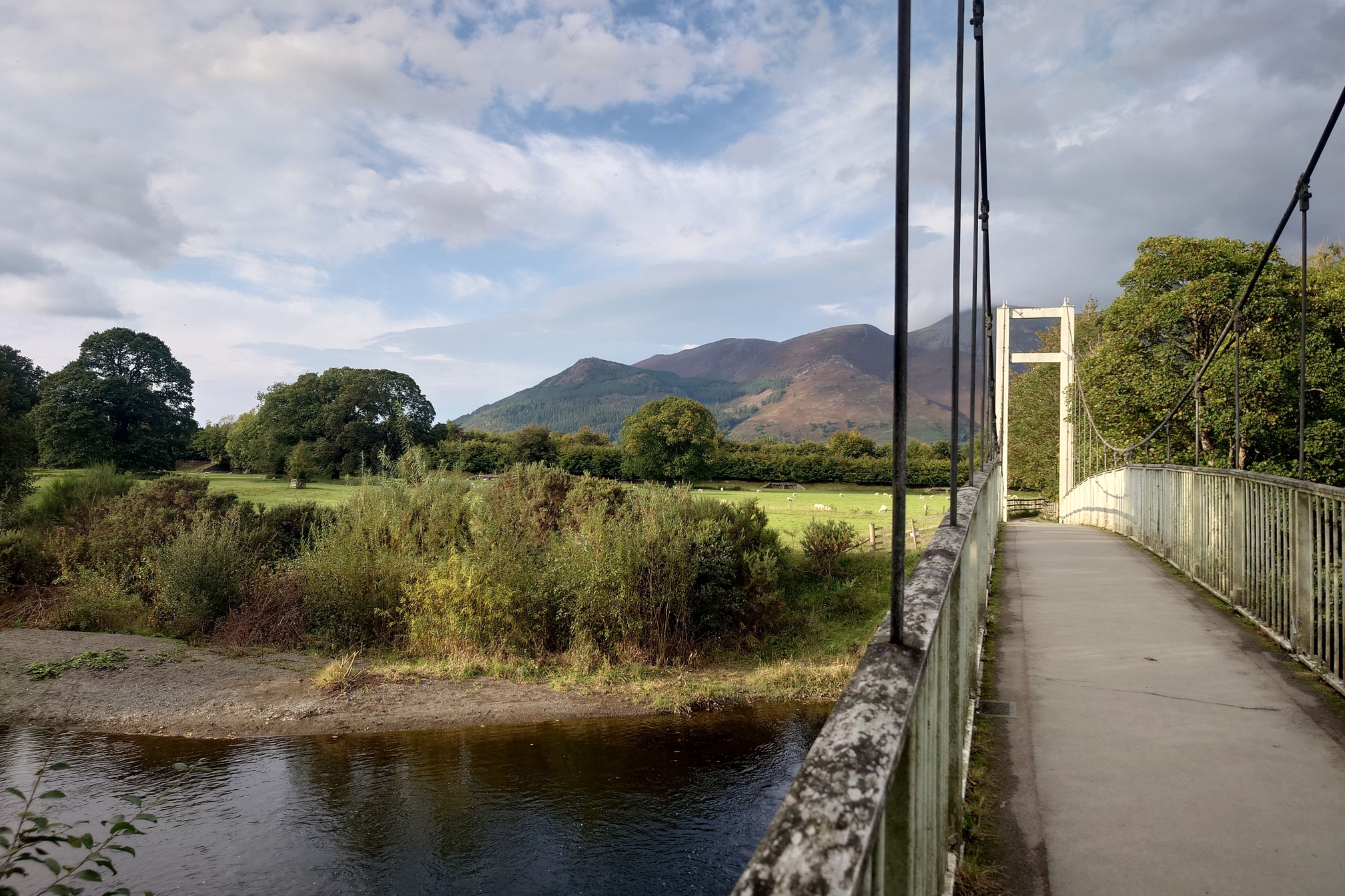
Eventually I crossed the bridge over the River Derwent and limped to my hostel in Keswick, happily with a nice cosy room to myself after 33km.
After fish and chips in town for tea, I slept like the dead then was up nice and early. The hostel was deceptively large, an american man pointed me about 2 miles down a corridor to find the common room, a vast and empty dining hall.
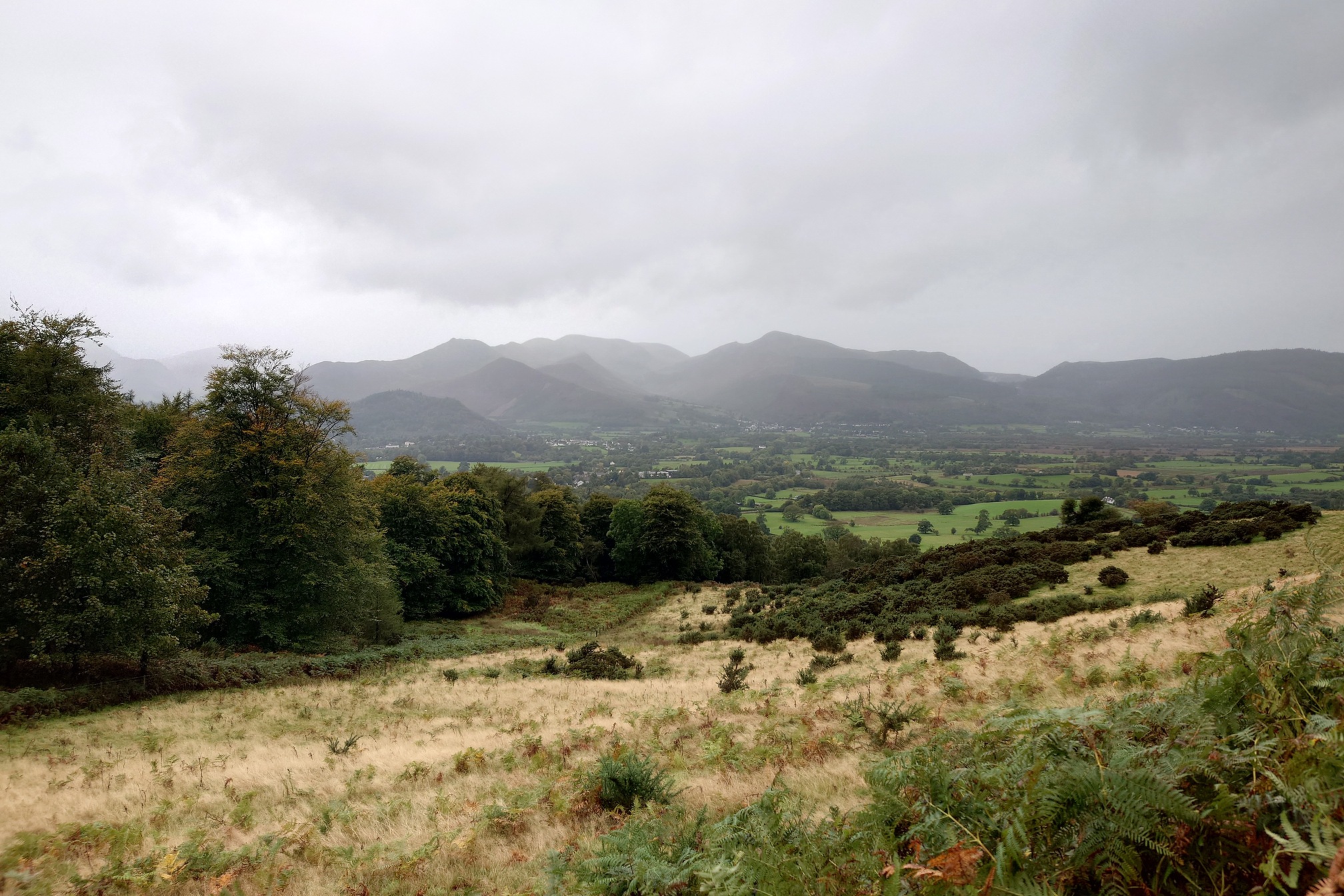
The weather was drizzly and wet as I left Keswick, beginning the second climb of the trip up to the fells behind Skiddaw.
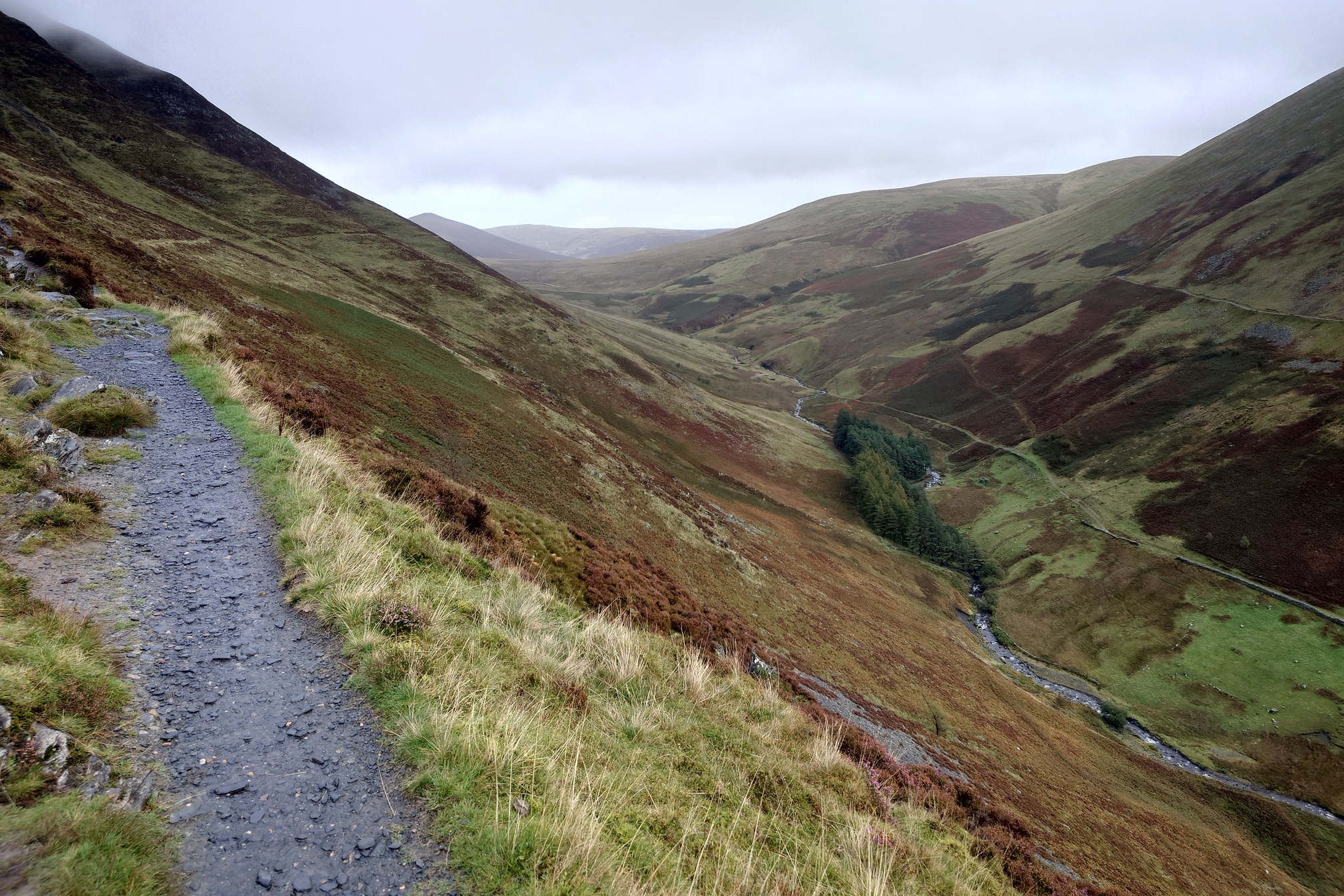
Once the path was out of the woods it followed the steep valley of the Glenderaterra Beck. Although my knee had been absolutely fine since yesterday, at some point here I distinctly heard my achilles go “twang” and wow did I feel it. I tried a few more paces, every 6th or so was the worst sharpest pain in my ankle I’d ever felt. This wasn’t very good. Would I need to get Mountain Rescue? I stopped and ate a banana, then had an ibuprofen and did some stretching.. and it was fine. It twinged a bit more, but after a few minutes there was no more pain. How weird!
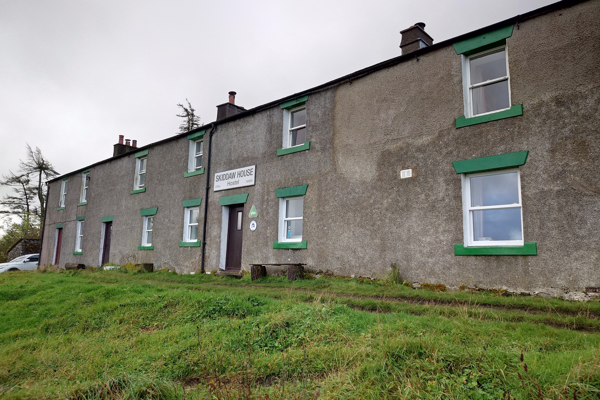
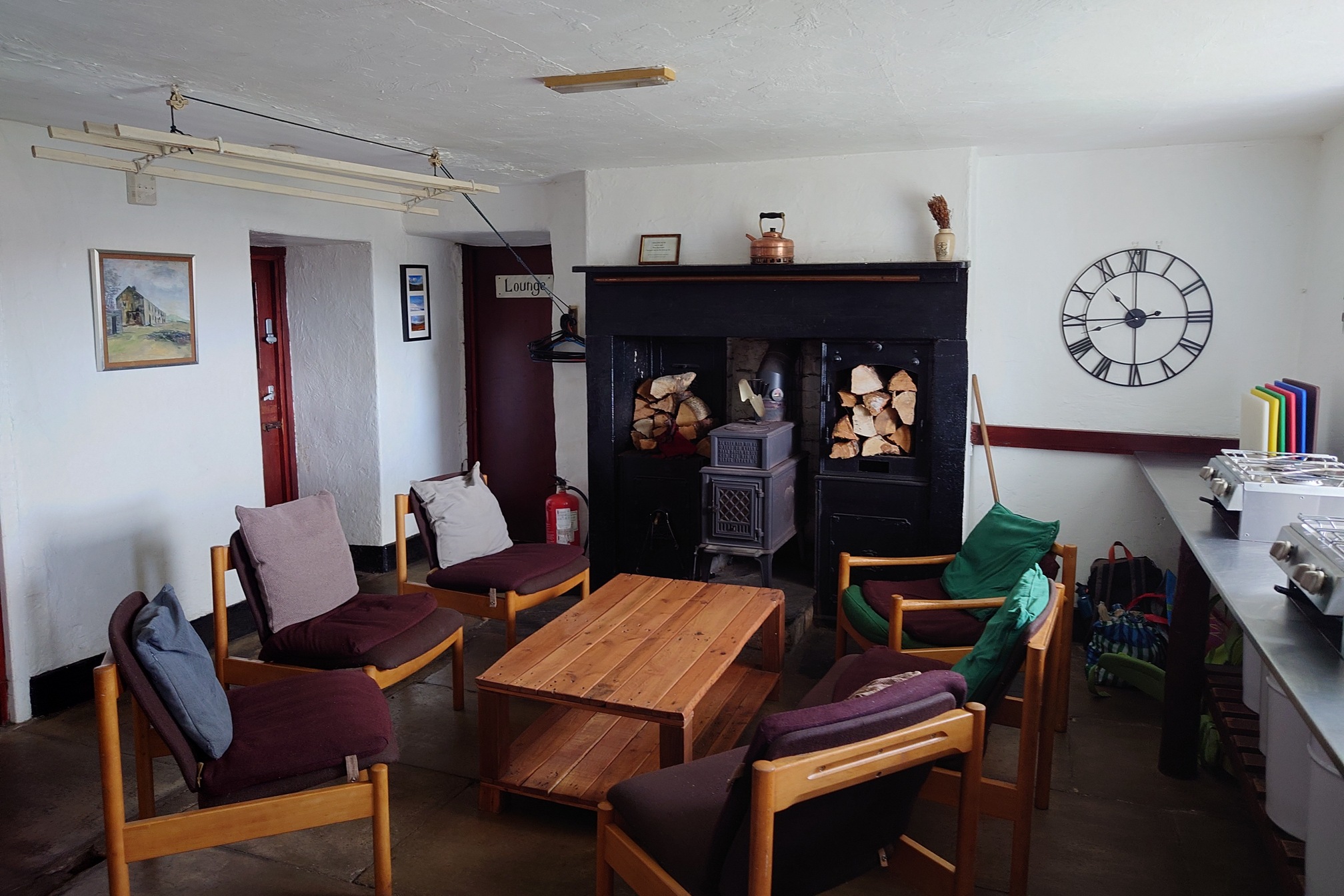
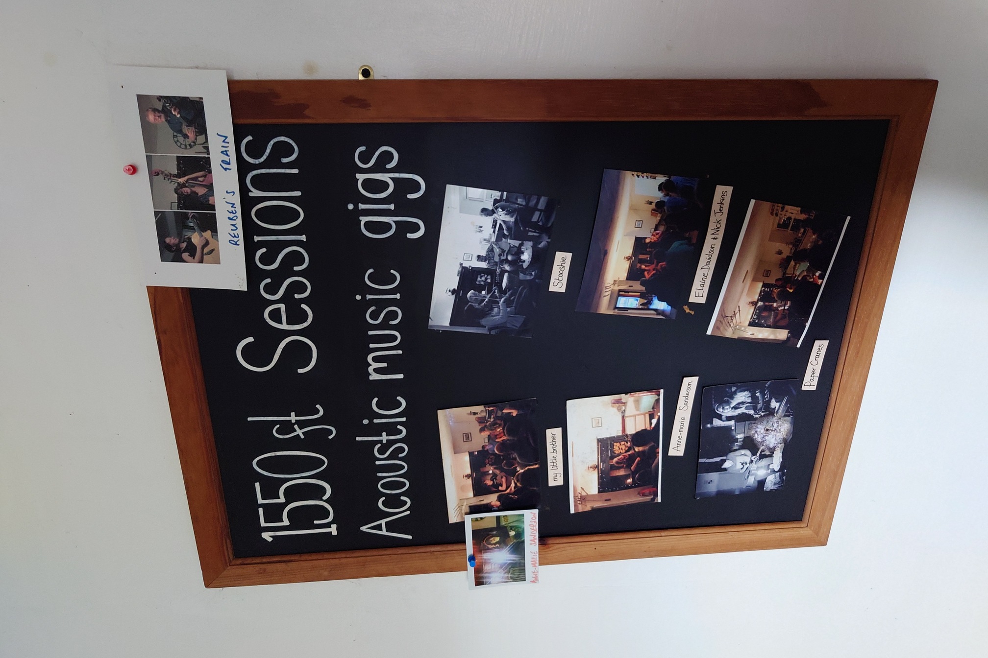
I reached the top of the Beck and the famous Skiddaw House Hostel, the highest in England and with no road access. What a wonderful place! It was extremely cosy with the kitchen left open for self-serve tea, coffee and snack.
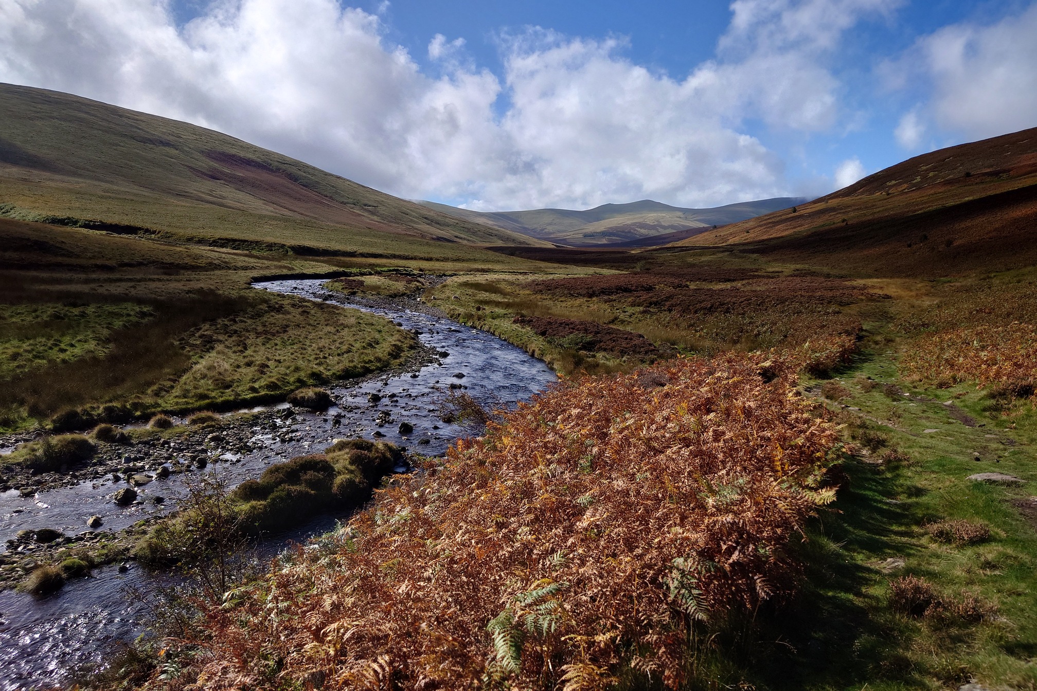
The weather began to clear as I followed the River Caldew. I came across three men dangling wires into the bog, they turned out to be sound artists from Full Of Noises, an artists collective I worked with a bit in Cumbria years ago.
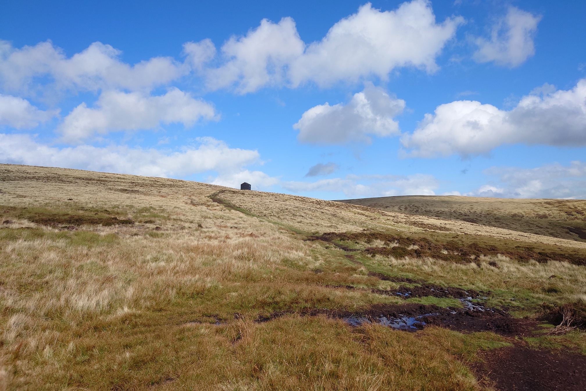
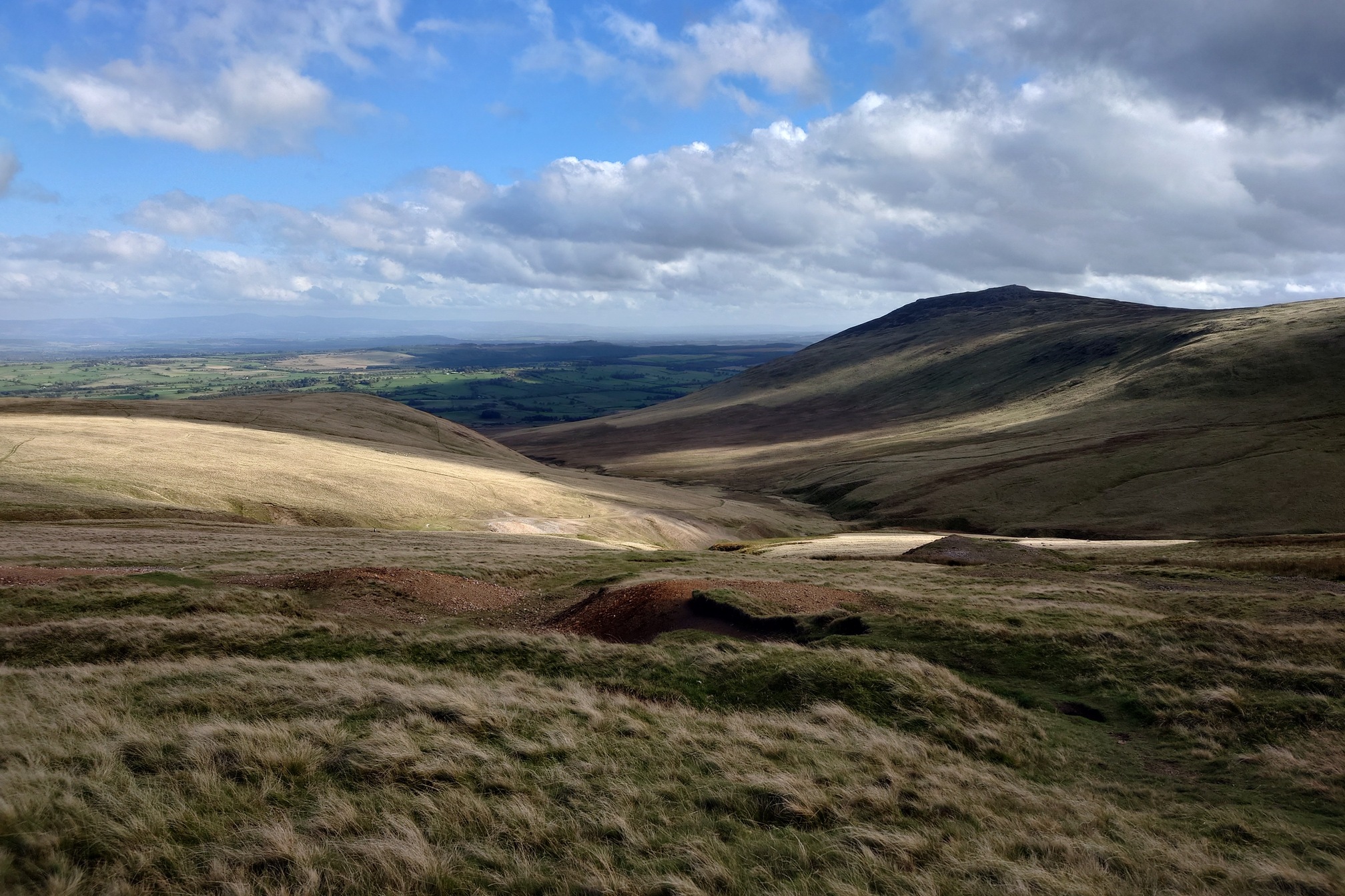
I ate lunch by the river, and carried on until I reached the foot of Grainsgill Beck. I’ve been here before, last year I took a walk up this steep valley to climb a few of the Cadlbeck Fells up above. It’s a steep climb past the ruins of Carrock Fell Mine, a Wolfram (tungsten ore) mine that was last operational in the 1970s. The climb was a bit steep but eventually Lingy Hut loomed over me on the horizon..
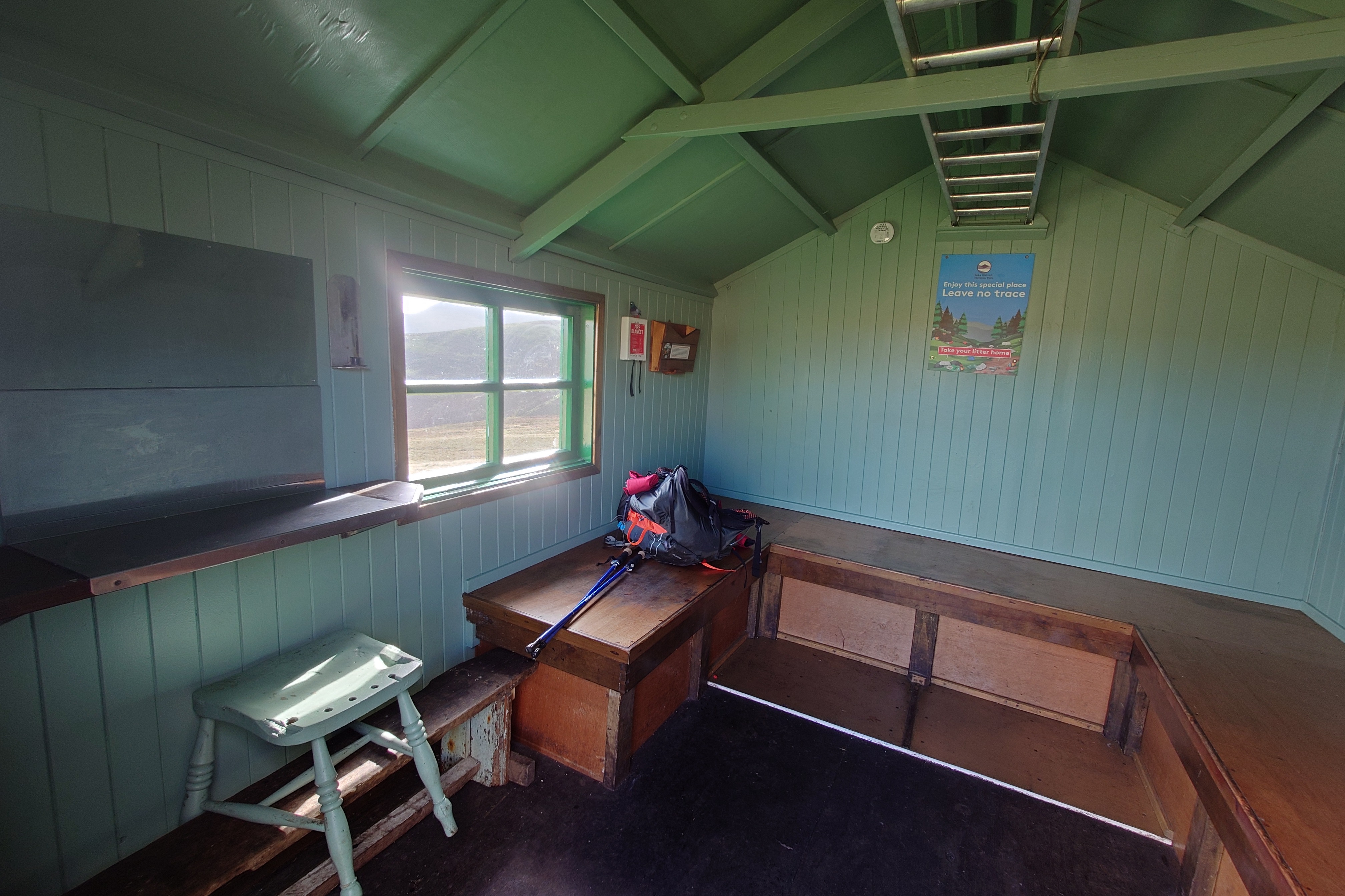
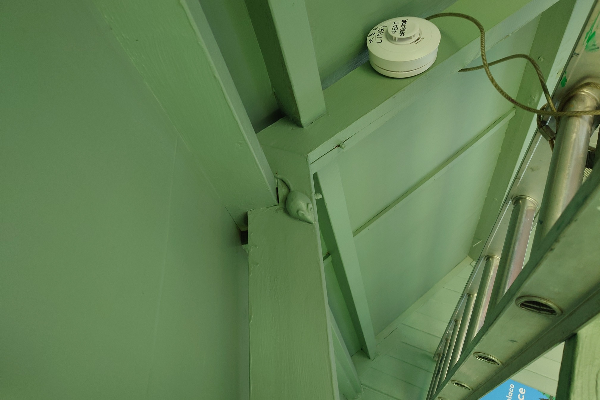
Run by the MBA since 2017, this immaculate bothy is a fine place to stop and rest a while. An old mining hut relocated up here and used as a shooting box, a school outdoor base, an open shelter, then managed by the National Park before MBA took it over.
As with all bothies, they ask you to clear your litter out and leave no food so mice aren’t attracted…
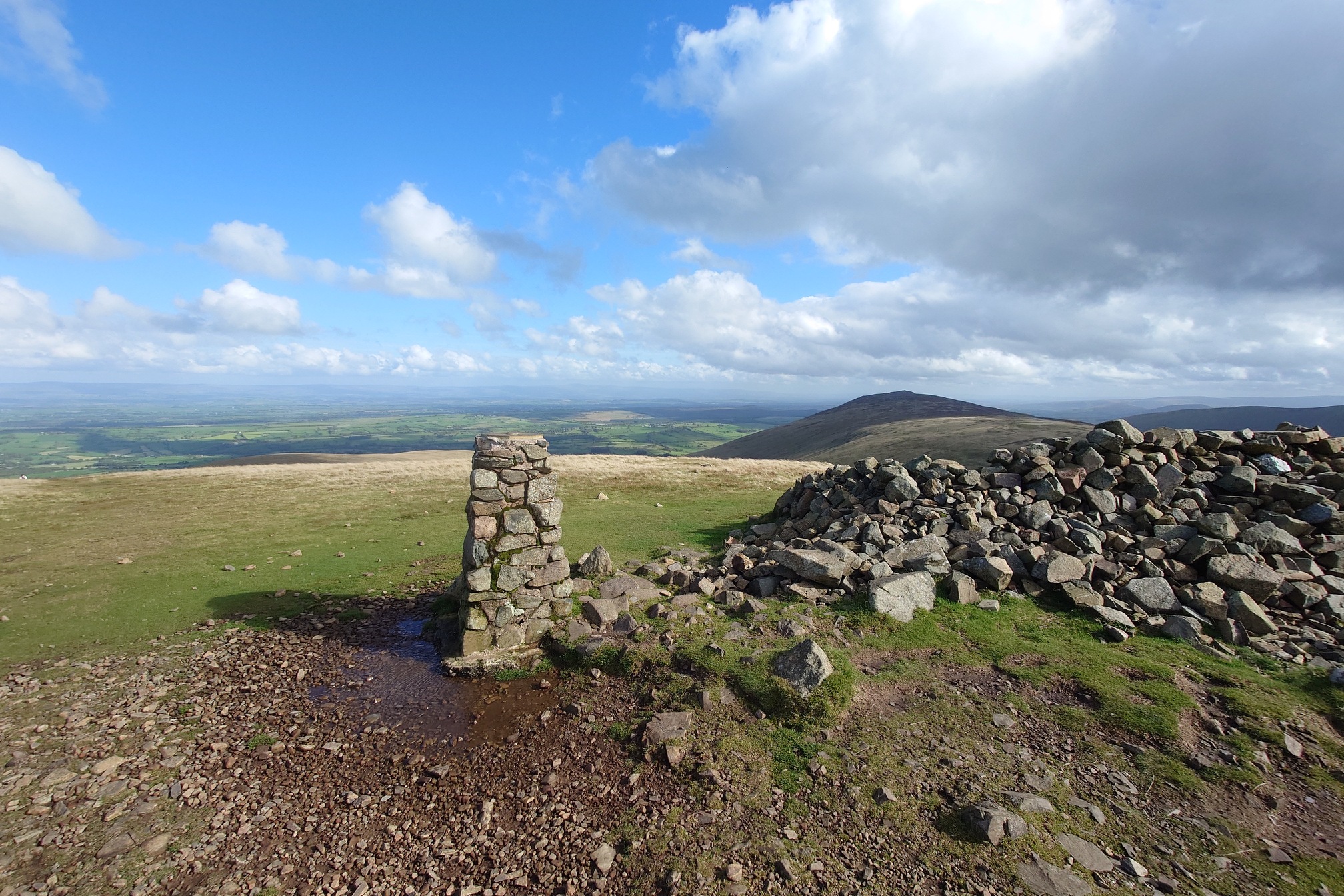
I reached the summit of High Pike, the highest point on the Cumbria Way.
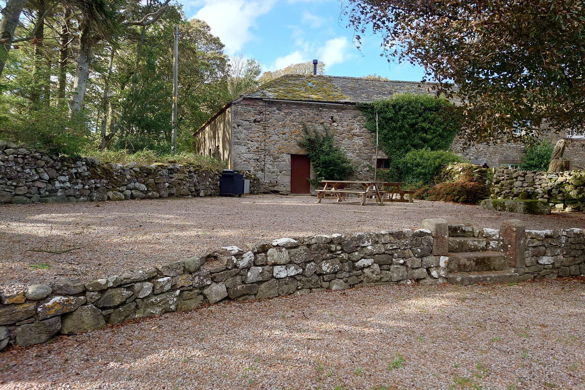
Here, I took a detour to the north-east, following old mine tracks past fenced-off shafts and through disused quarries to reach Hudscales, where I had booked a space in the camping barn there.
The barn was perfect, even with a £1 meter for the electricity. The farmer brought round a vast tub of firewood for the woodburner and after my 25km, I slept very well.
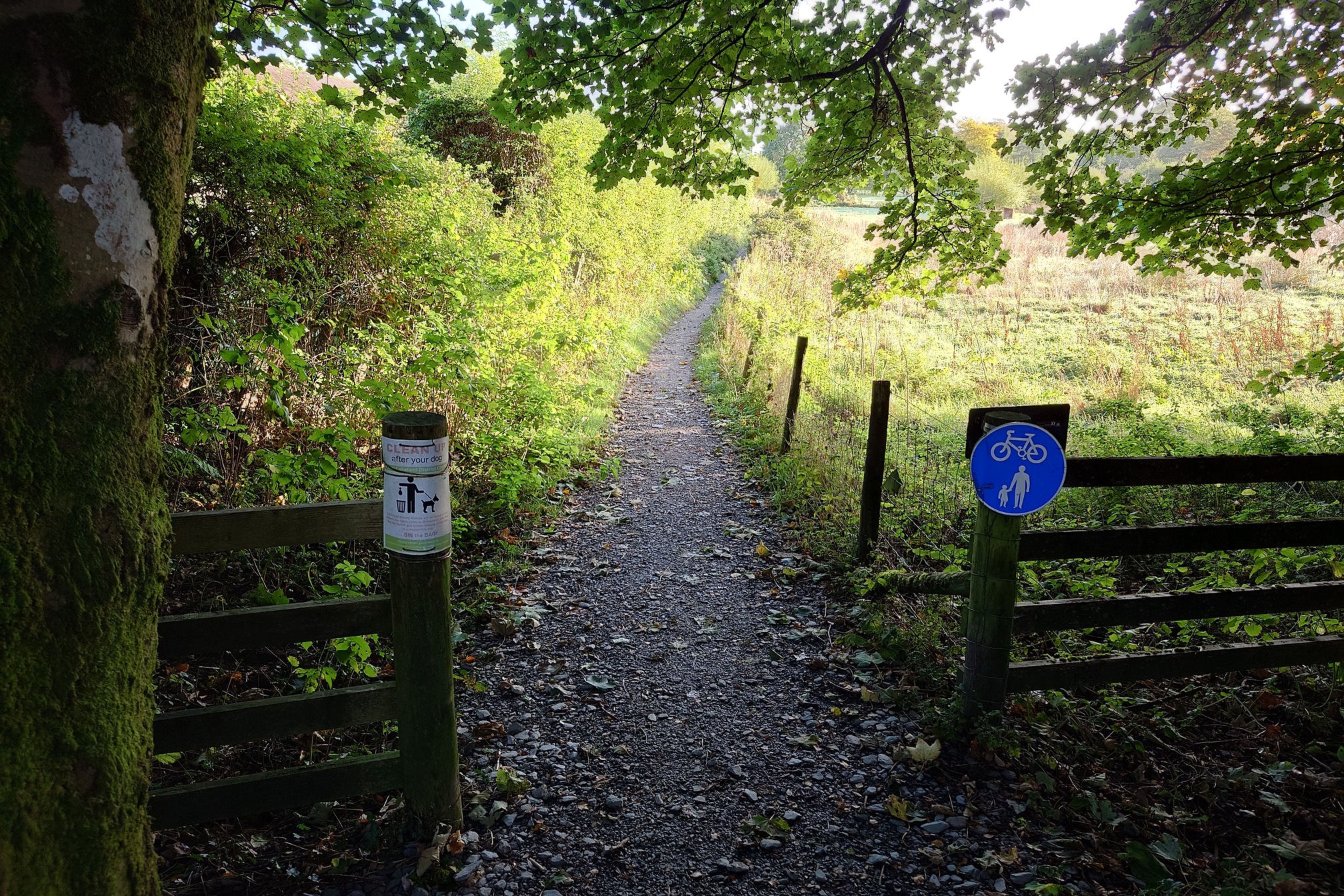
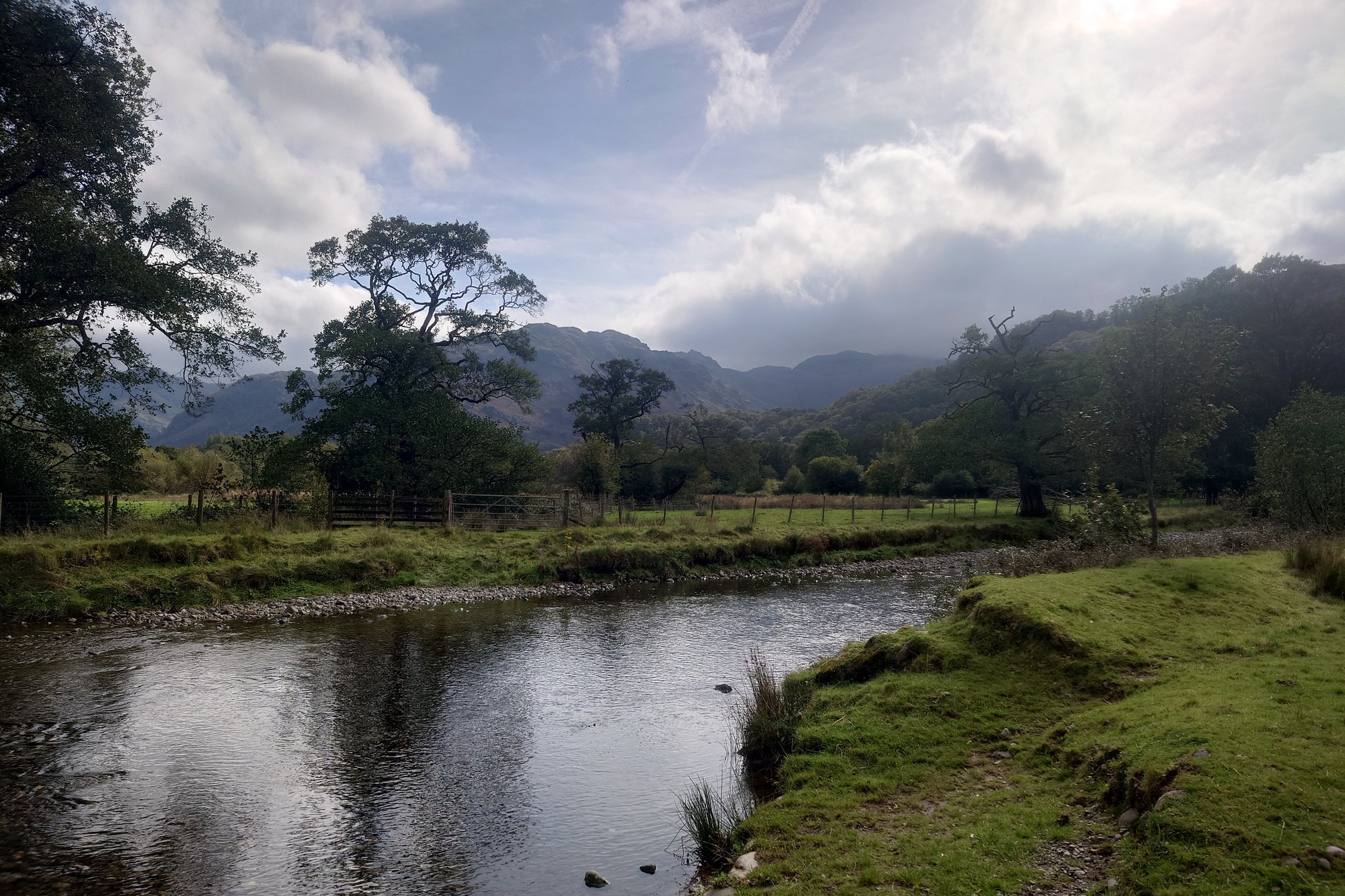
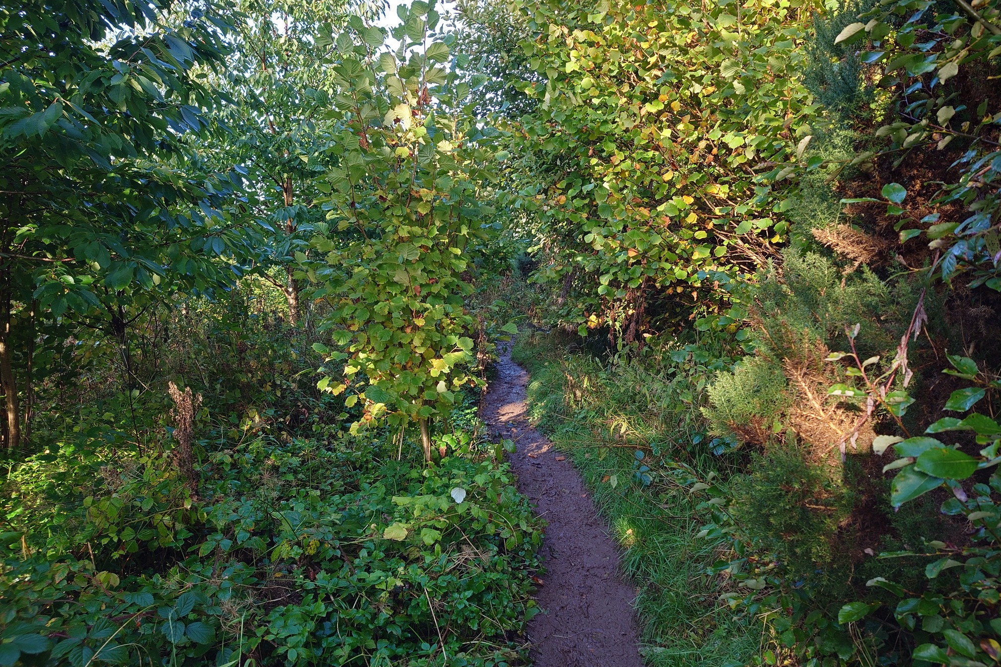
The next day was 20km to Torver Train station. I had intended to skip the last 8km to Carlisle, as it wasn’t suposed to be very good. In fact, the whole day was a bit of a let down after three marvellous days in the fells. Caldbeck was a lovely village, but after that the path followed the River Caldew through what felt like amenity woodland, with very muddy paths, or along muddy field edges. Still, it was nice to follow the River for so many miles.
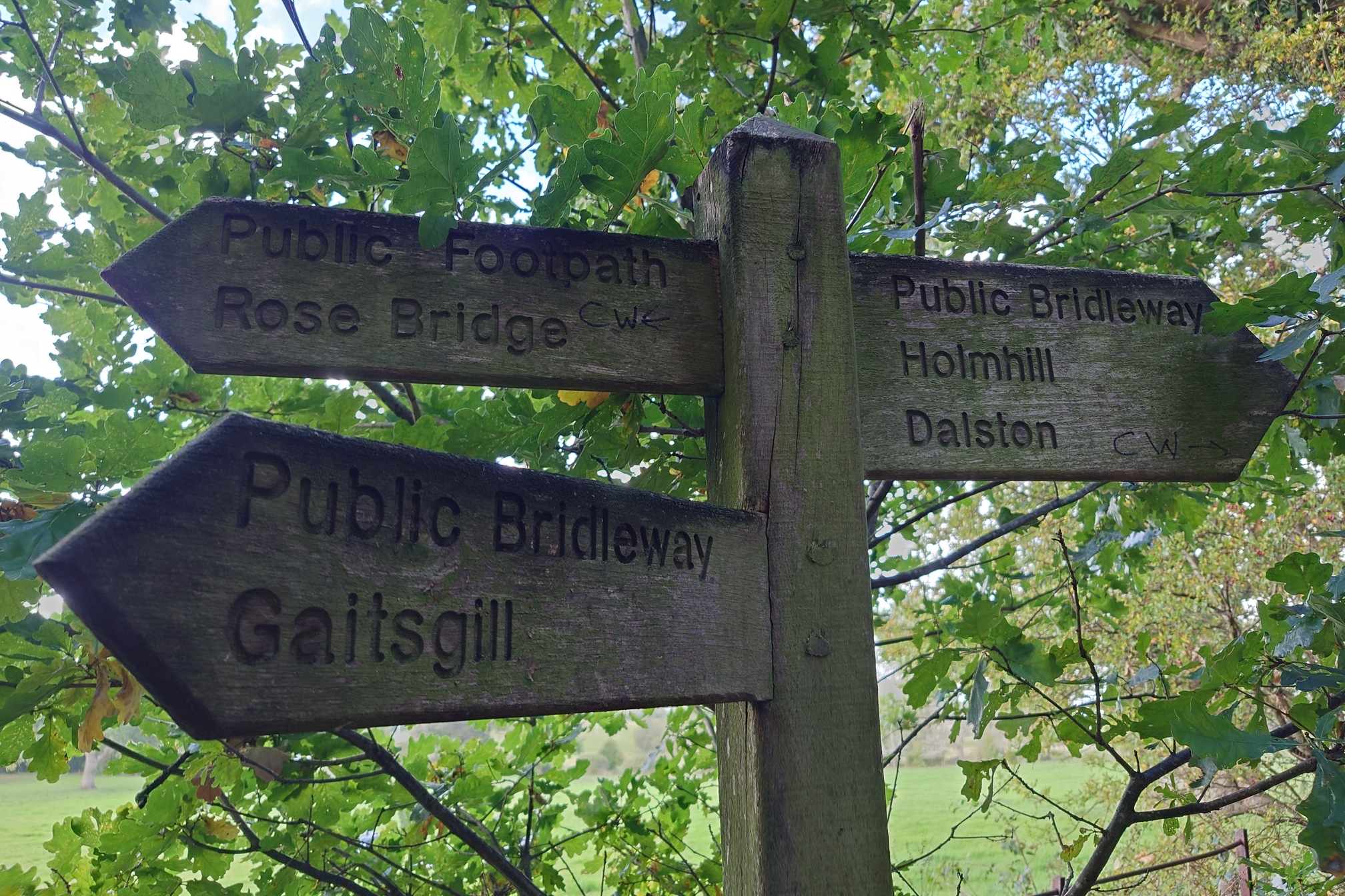
At least the weather was good! After a while the signage sort of gave up, which made it quite difficult in a few places where lots of Rights of Way met - it wasn’t always clear which was to go and I got annoyingly lost at one point, walking round in circles trying to find the route past houses with angry dogs and no entry signs. Helpfully, I realised someone had written “CW” in marker pen on the finger posts.
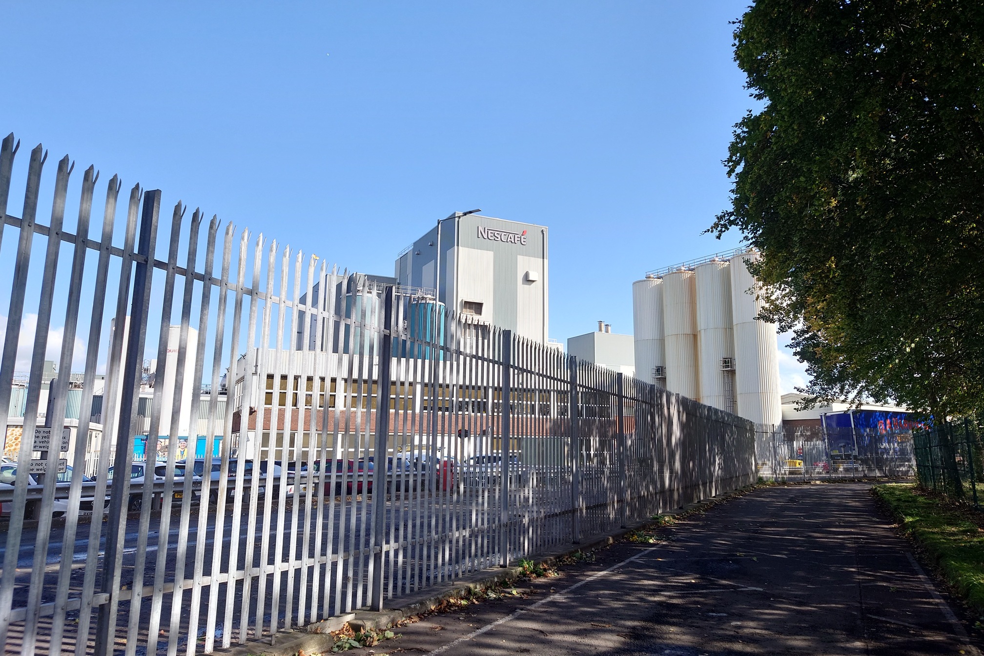
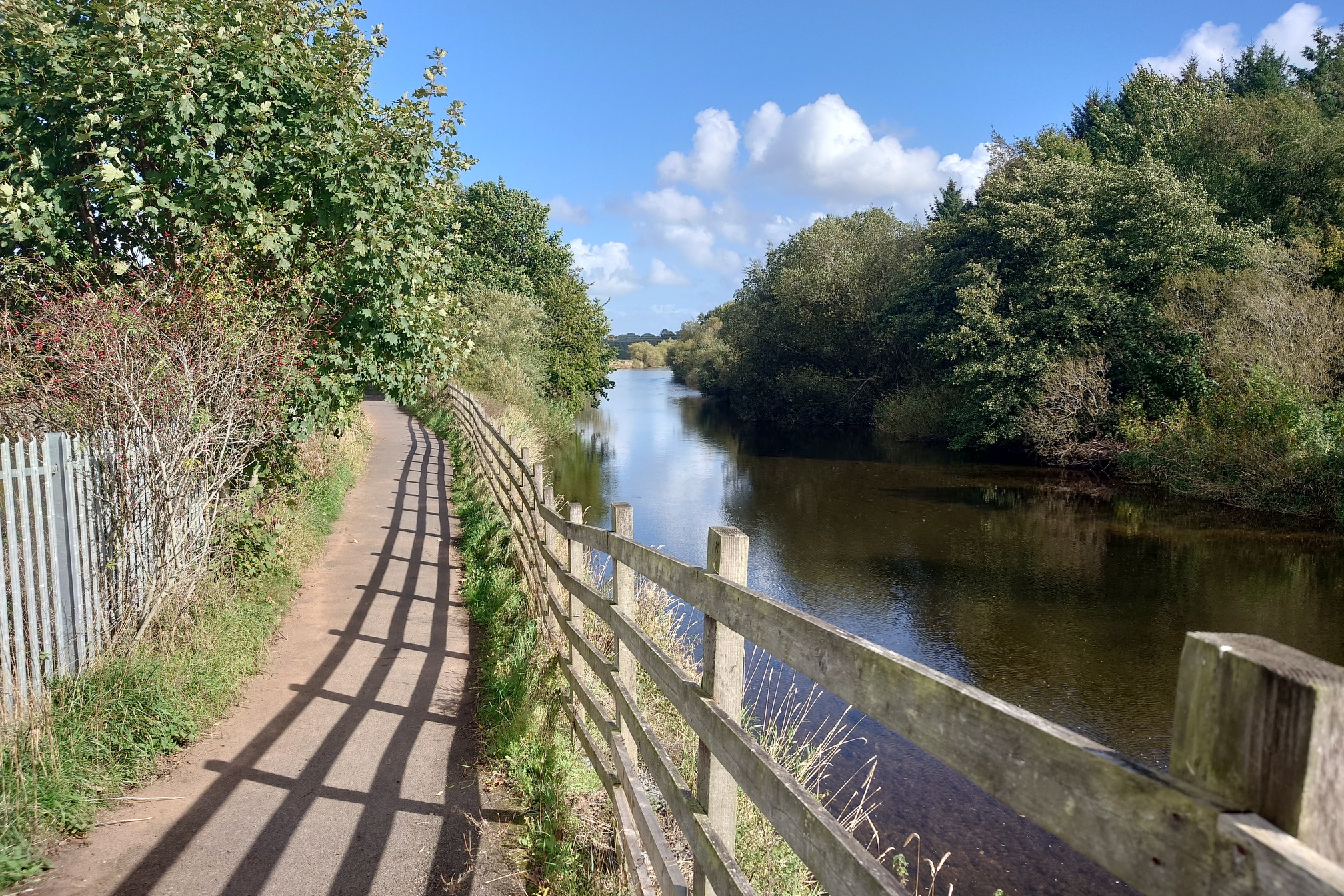
I realised I was going to miss my train by about 20 minutes, so didn’t bother rushing to try and make it. Instead I picked up some snacks at Dalston co-op, and pressed on to Carlisle, where I’d parked. After Dalston the path, still following the Caldew, passed factories and housing estates, before entering Carlisle.
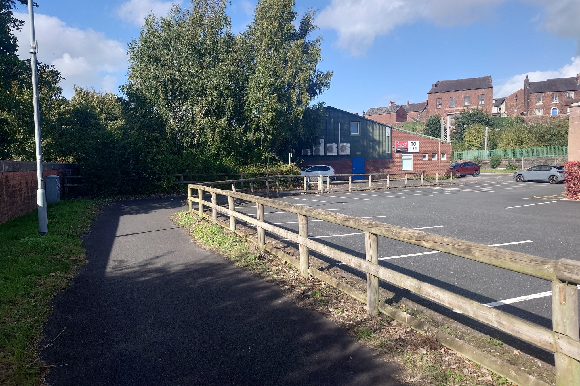
I saw the last “Cumbria Way” waymarker about 500m before the path just sort of stopped at a car park behind the rail line.
Not a very inspiring finish, but a really great walk. I feel that (apart from random knee and ankle injuries that never returned) I have a good measure of my fitness now for multi-day hikes, and I’m very keen to do another one soon.