Bells Burn and The Border
At last, the weather is good enough to get out again! While looking for interesting places to go explore, I noticed a while back a “Sulpherous Well” on the old OS maps near Deadwater Station, which lies on the stretch between the top of Kielder Reservoir and the Scottish Border. Also nearby, the border itself takes an interesting route, and there’s a number of ruins, and a trig point. Lots to see!
Parking on a track about 3km north of Kielder Village, the first part of the walk is along the Border Counties Railway to what was Deadwater Station. The next stop up the line was Riccarton Junction - famously a village grew up here that was only accessible by rail. Opposite Deadwater station, now a private house, and into Scotland with our first crossing of the border, is a low stone wall.
 |
This is marked on early OS maps as “Deadwater Well (Suphurous) Bathing House”. According to info from Geograph, it was popular until the early 1800s. A muddy spring emerged here from the boggy rushy ground, but I didn’t try it. Instead, I pushed up the hill to Fairloans Quarry.
 |
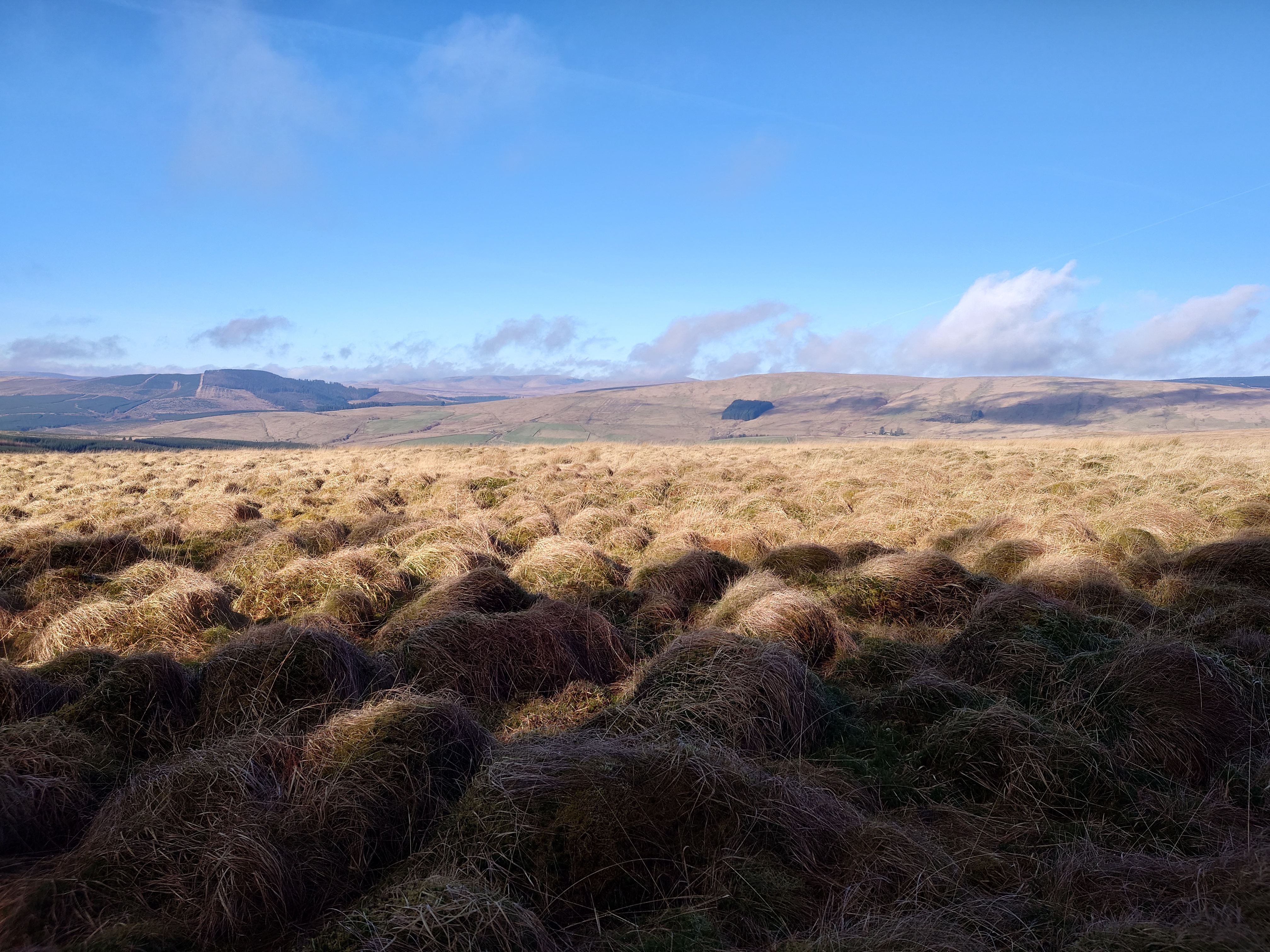
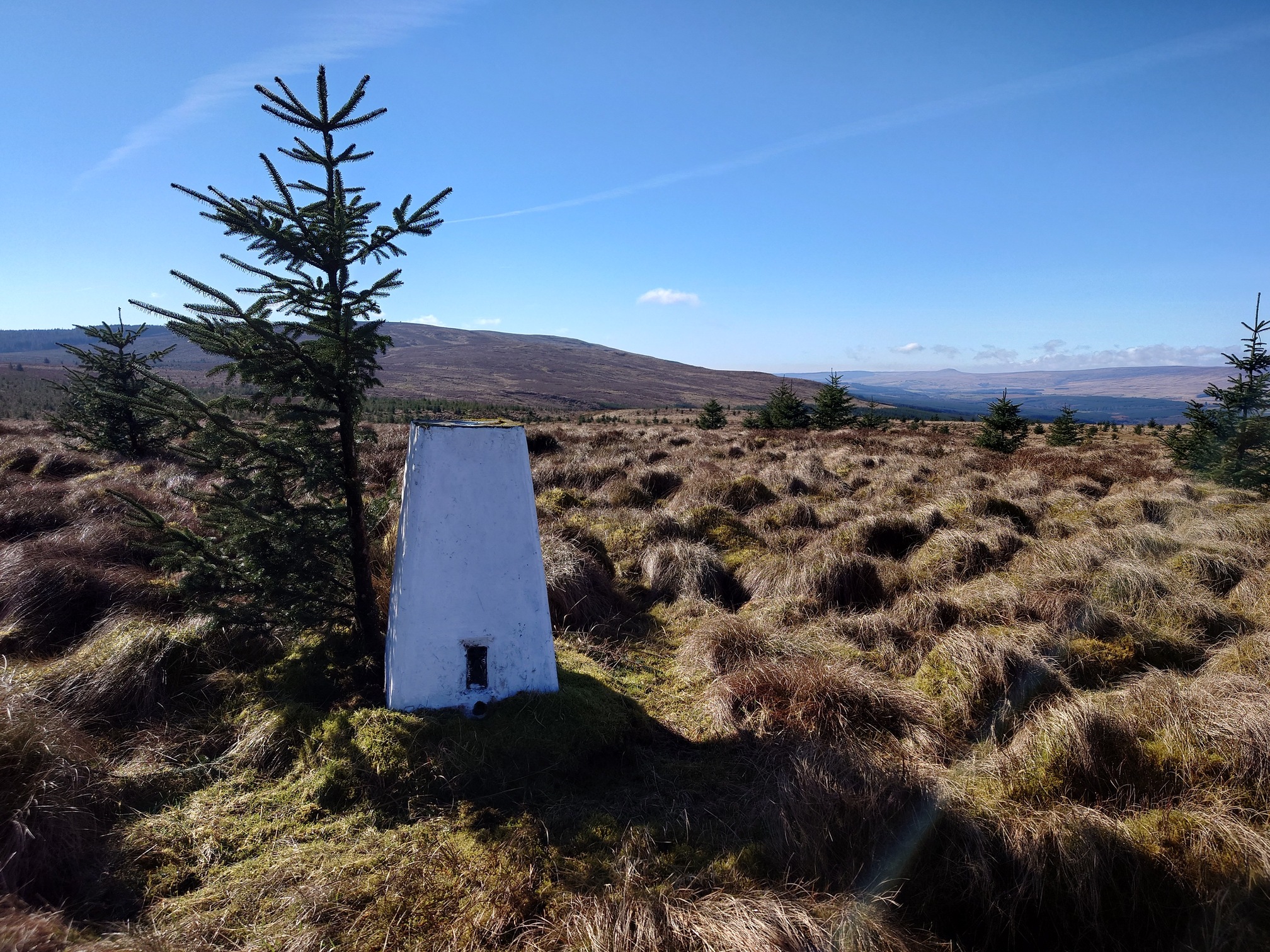
This was a limestone quarry and made use of the rail line just down the hill at Deadwater. From here, it was rough tussocky grass along the edge of plantation forest all the way to the trig point on top of Foulmire Heights
 |
 |
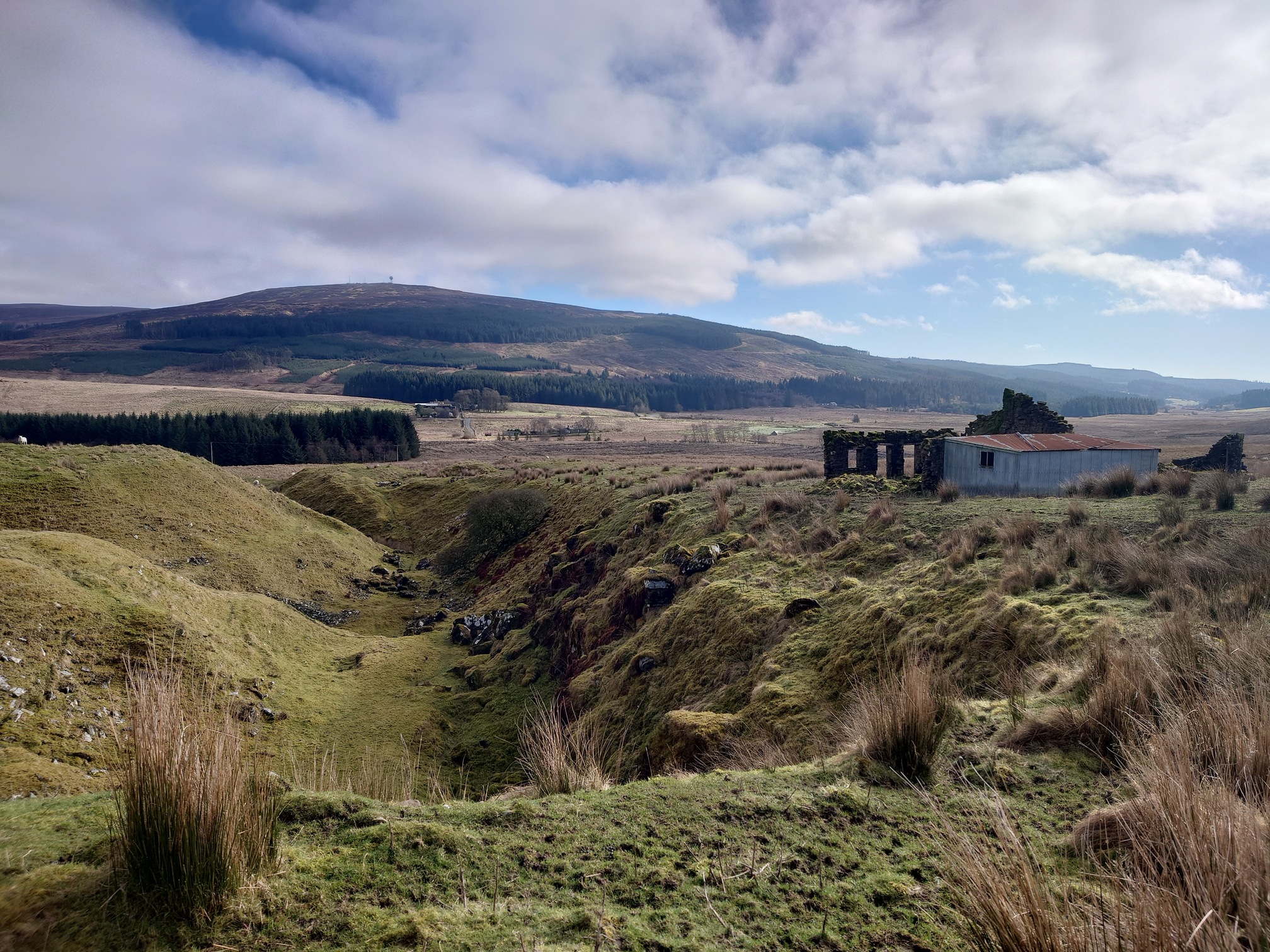
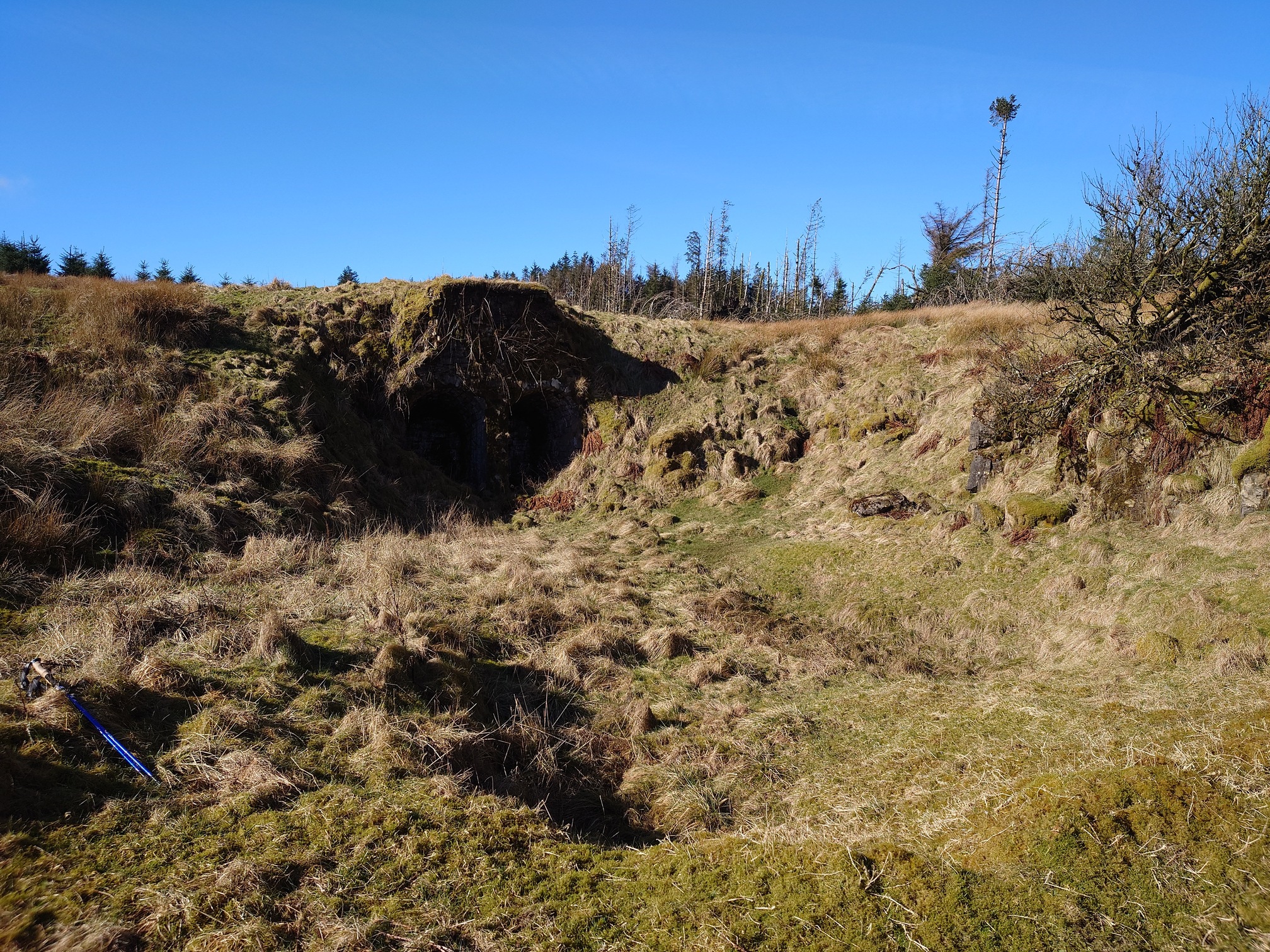
Next I followed a forest ride, which I could see passed through a “disused quarry” on the map. However upon reaching it, I found it actually had quite a substantial limekiln, which I wasn’t expecting.
 |
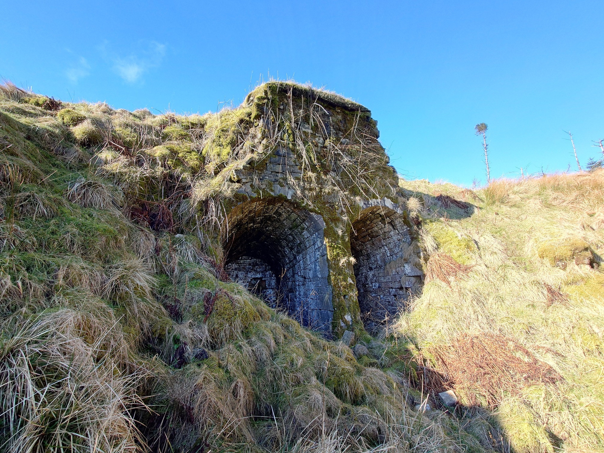 |
Interestingly, on the OS maps this is first marked as “old quarry” on the 1920s maps. It doesn’t seem to feature on any older maps at all, although on the modern OS map there is a tiny square that I think represents the lime kilns.
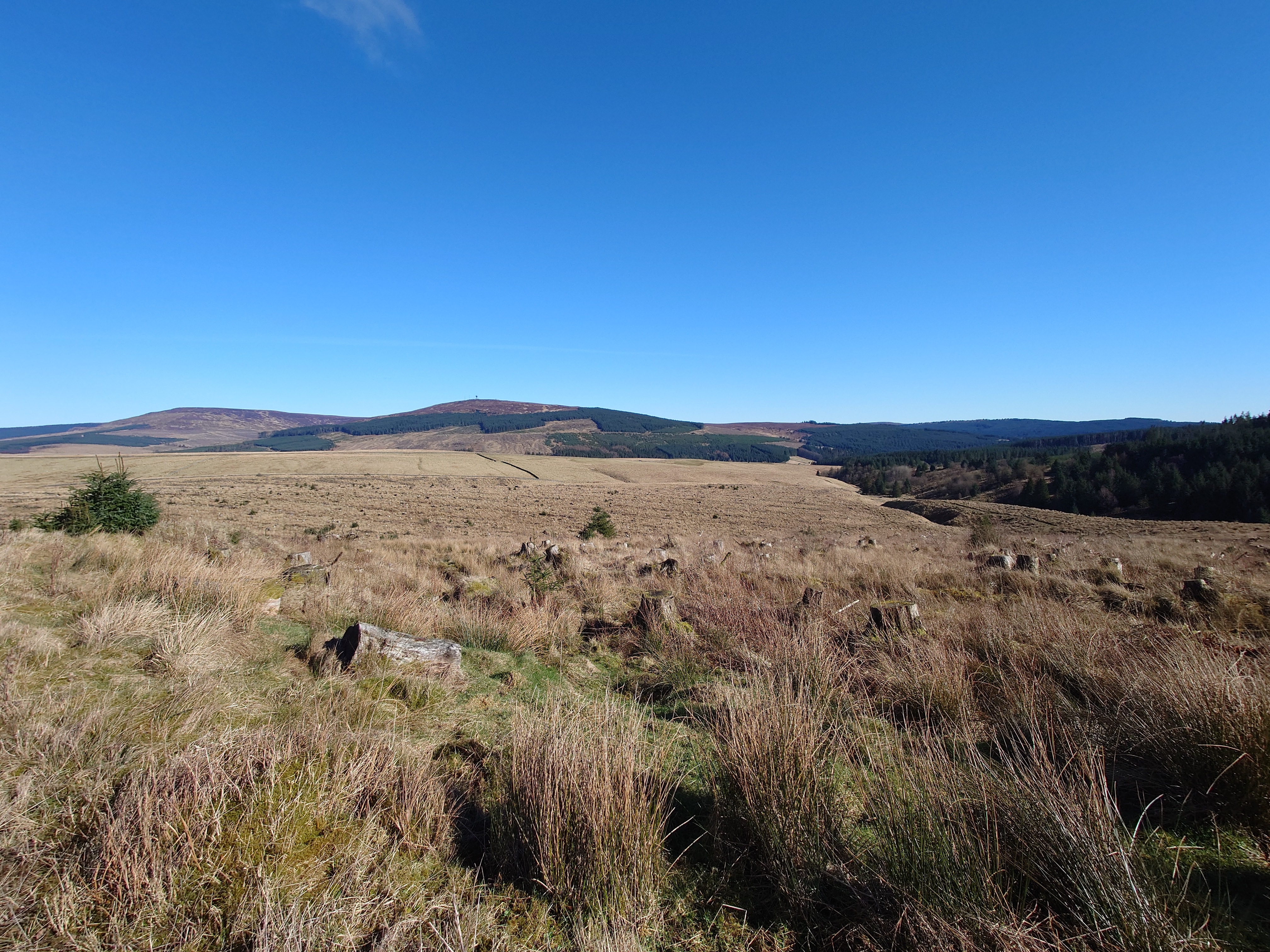
Heading on through the forest, I ended up on forestry tracks with a nice spot to sit and have lunch. A fork in the track led to the ruins of a shepherd’s cottage, Blackhope, and I could see it from this spot but it would be a walk out and then back the same way, so gave it a miss. From here I could also see the odd bit of the border that lies here.
 |
From the North, the border suddenly turns west at Deadwater well to Thorlieshope Pike (This is the way I walked up), then heads south-east, crossing along the top of a low hill in front of us here to meet the Bells Burn, then suddenly turning back on itself to follow the burn west.
 |
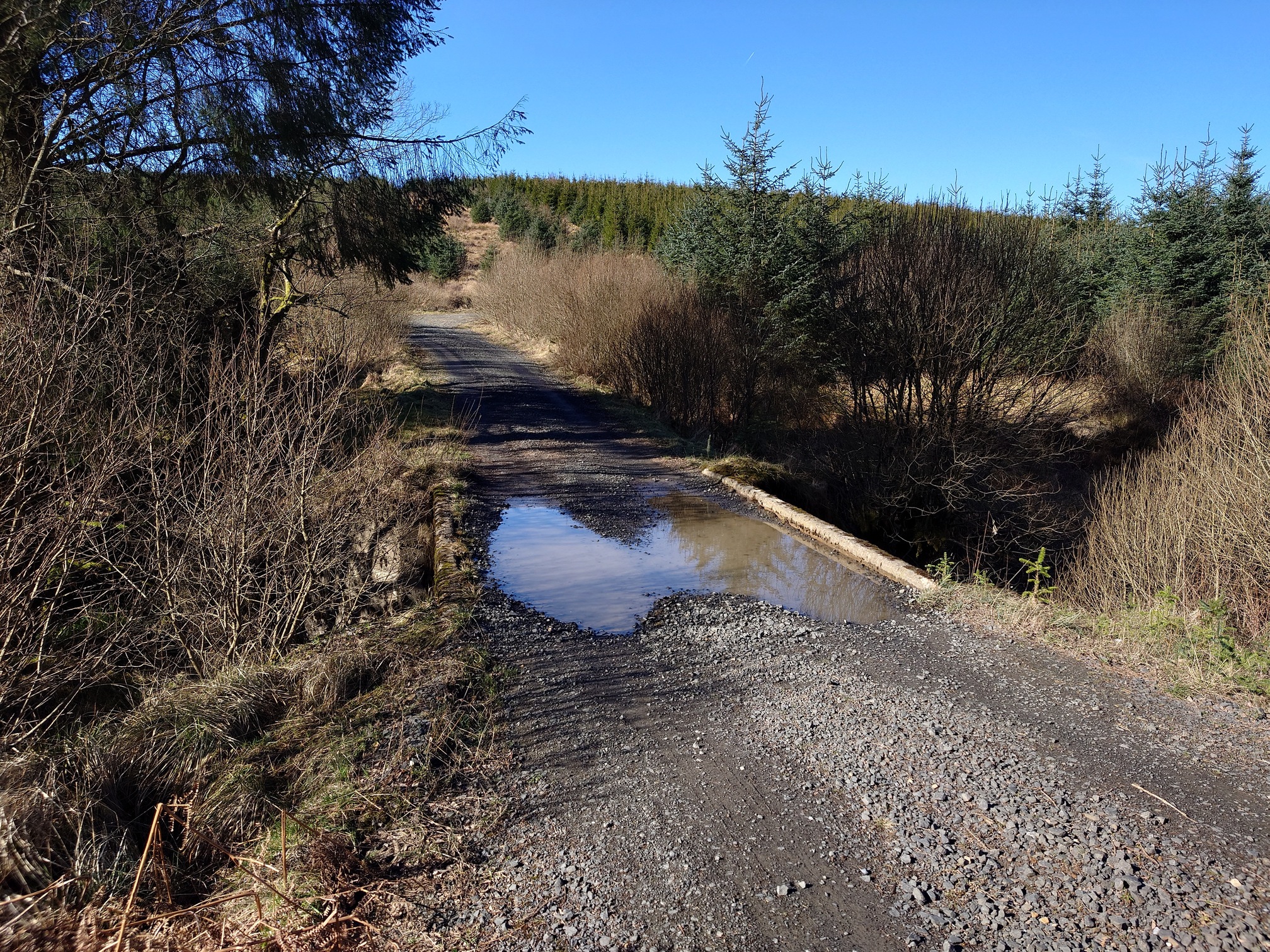
This odd little kink in the border must have a story behind it, although we’ll probably never know it. Following the forestry track, I cross March Sike - the Marches were the divisions of the border country, so it’s possible that at one point the border might have followed this burn instead - then cross the border itself at Bells Burn on a simple bridge, back into England.
 |
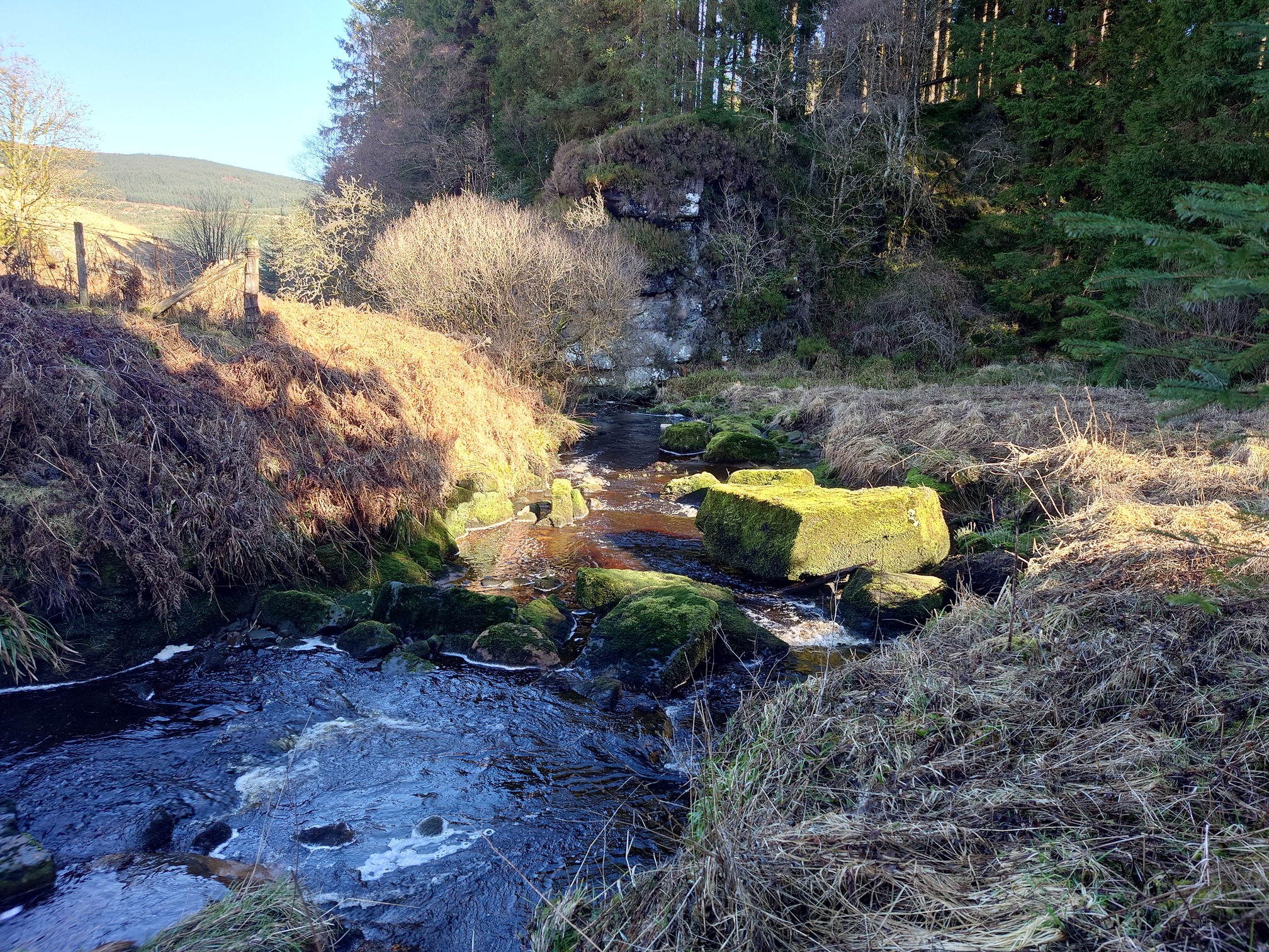
The track runs parallel to Bells Burn and after another 2km I leave it to follow the Spout Sike, which cascades down a steep slope and into the Bells Burn. I was worried about fording the burn as it runs wider here, but just before it’s joined by the Spout Sike there’s some huge blocks in the water that look, to me, like there might have been a bridge here once.
 |
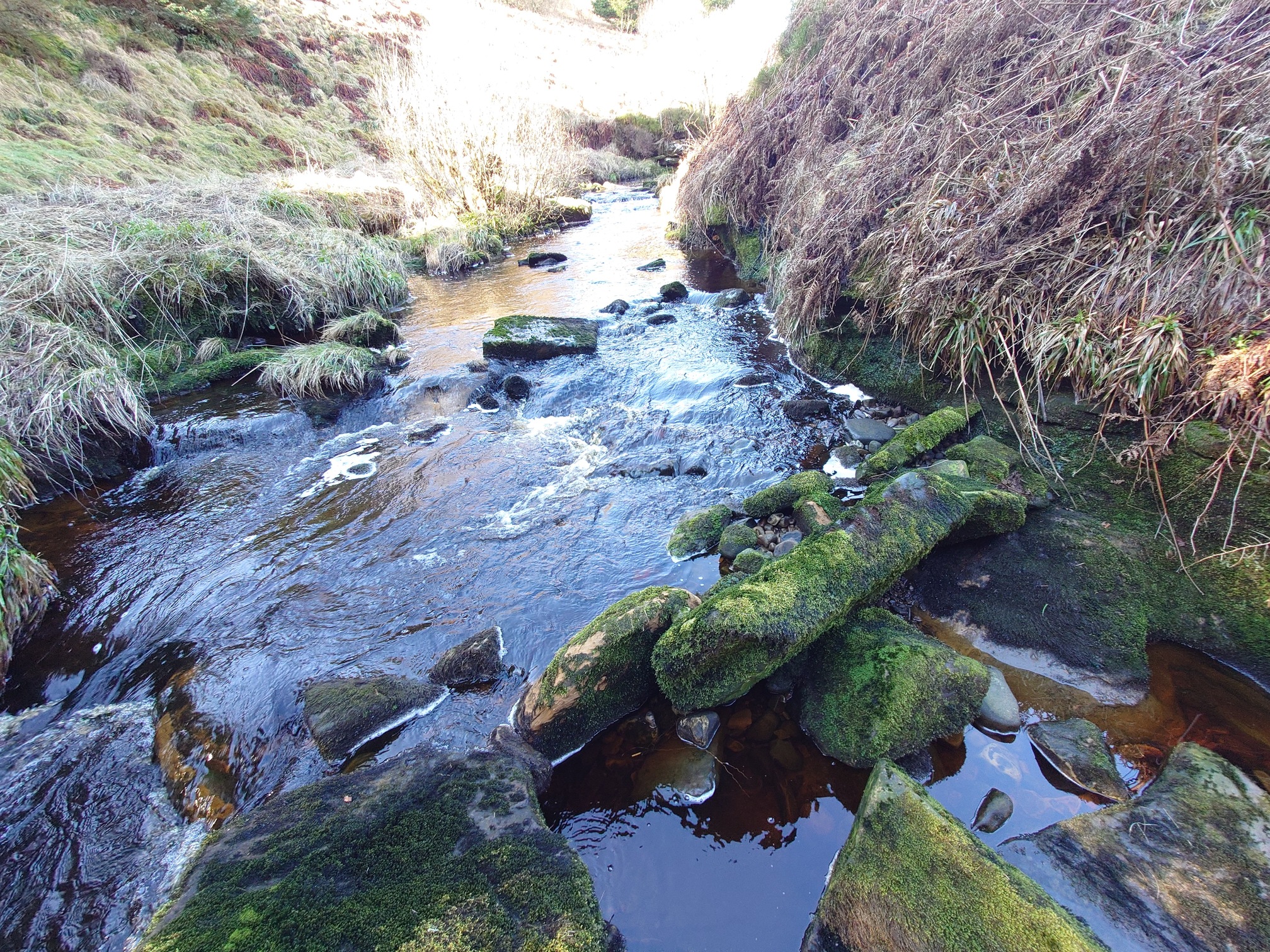 |
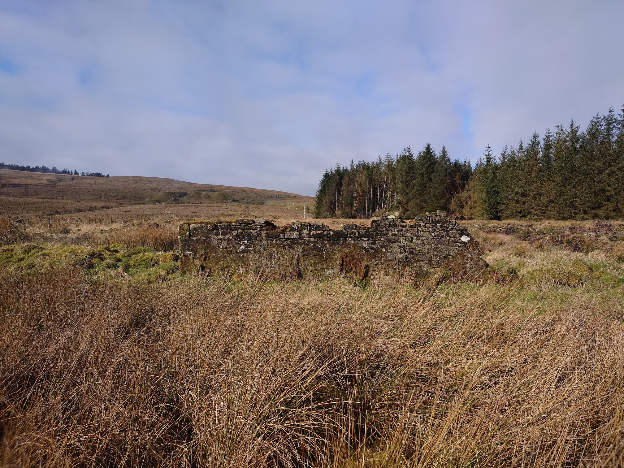
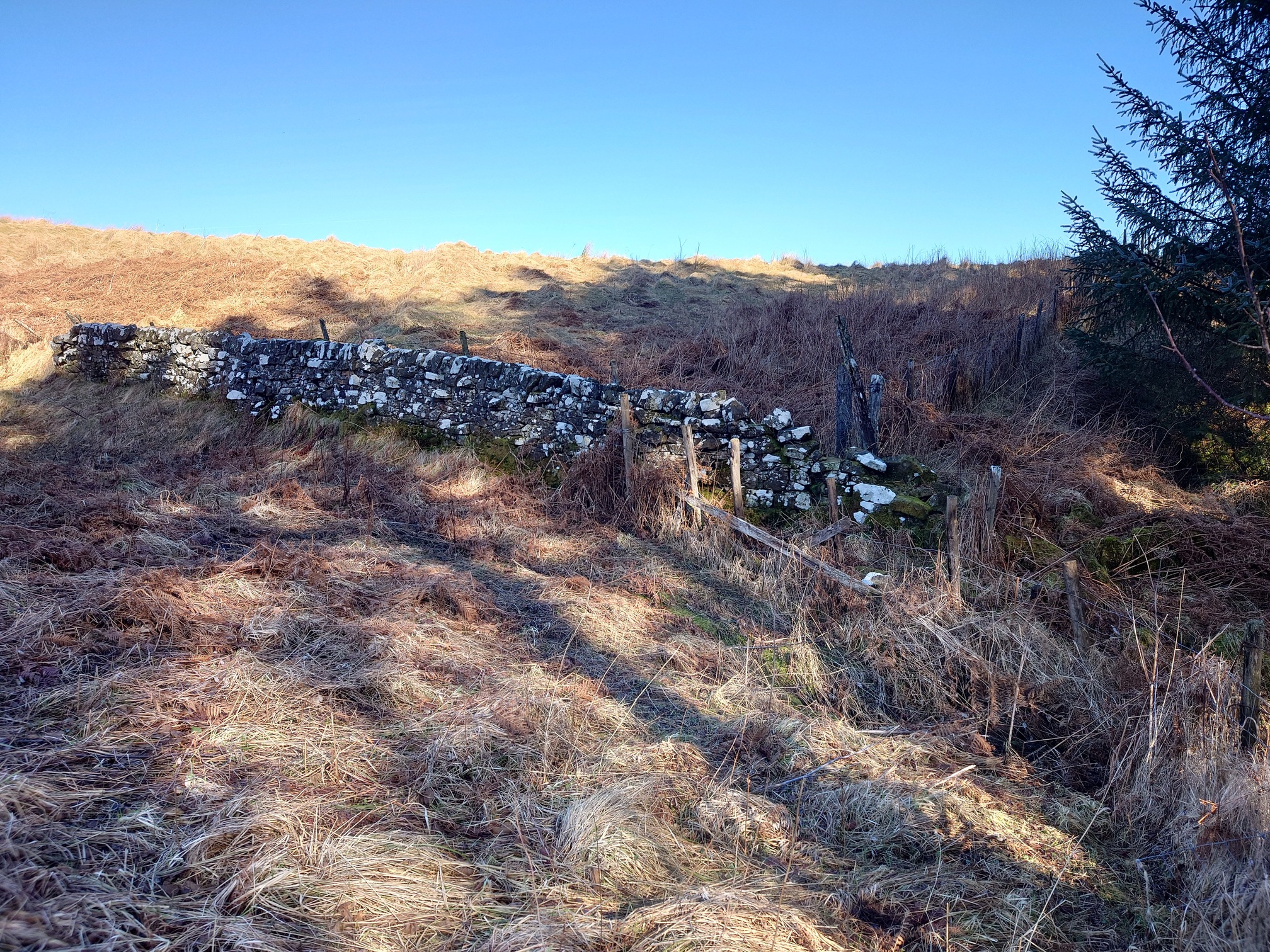
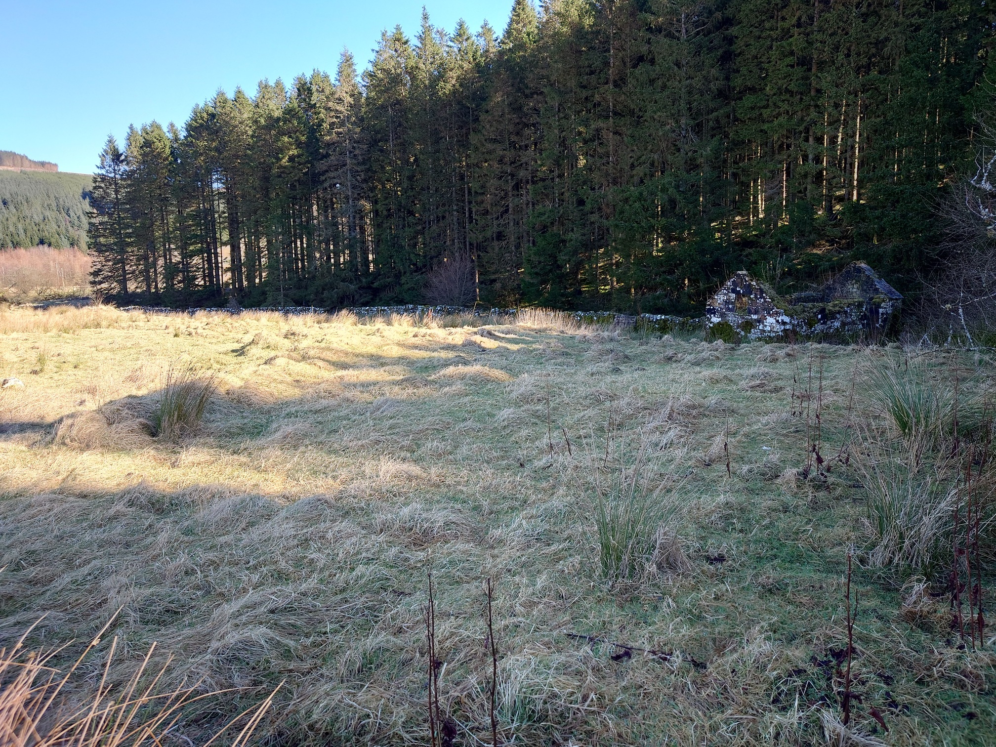
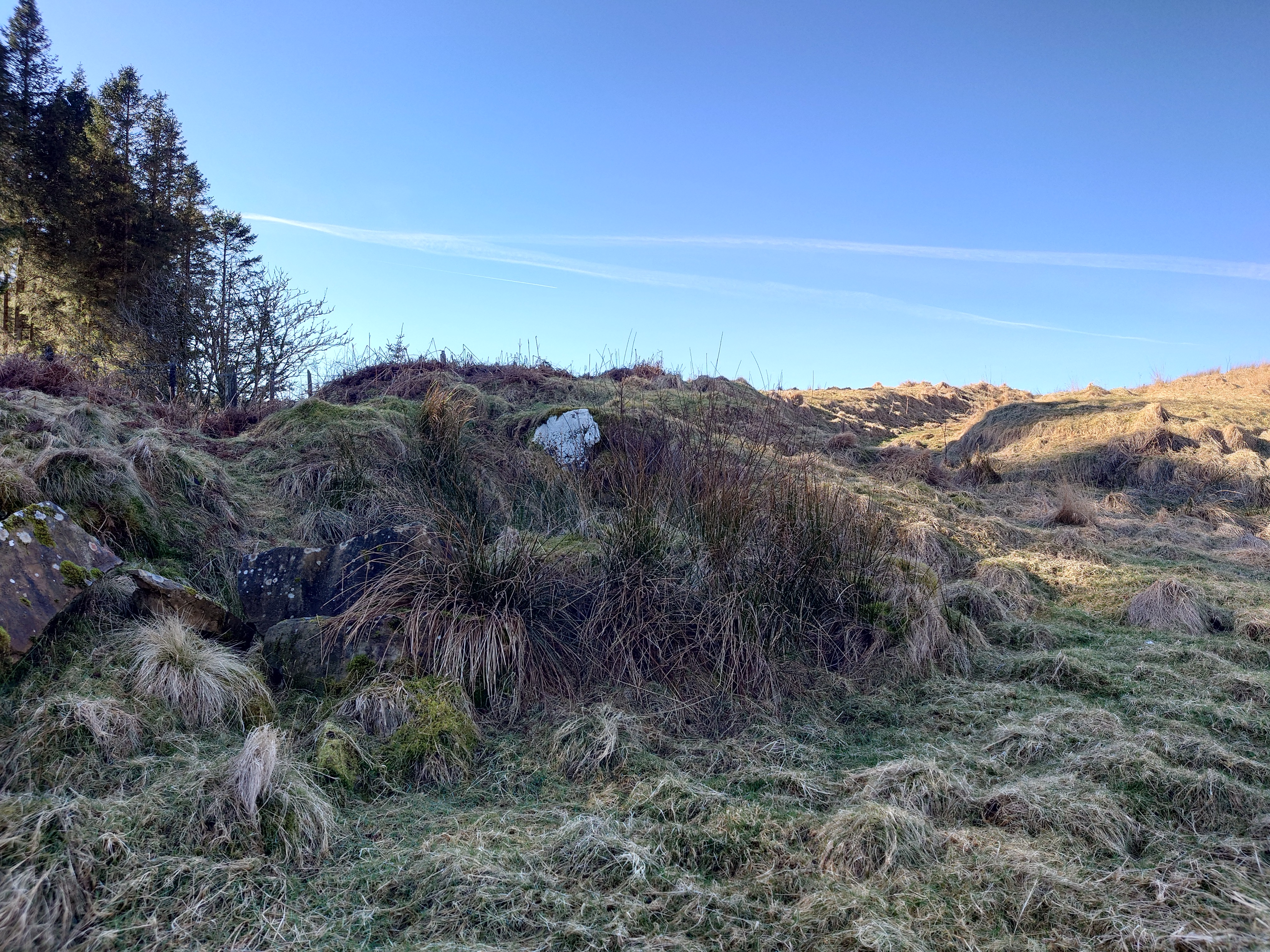
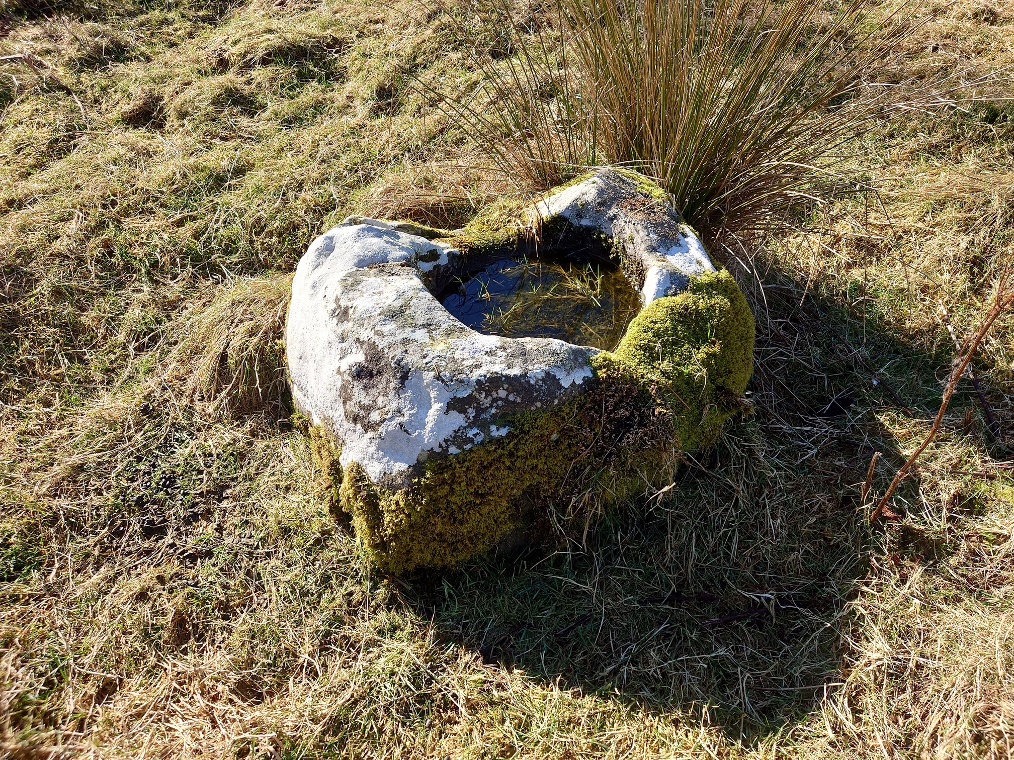
A bit rough underfoot, I follow the Bells Burn eastwards on the Scottish bank, it’s absolutely lovely in the sunshine. Eventually the fence reaches a wall curving up the slope - this is the border again, so back into England - and just beyond here is a point marked on the maps as “Bells Chapel (Site of)”. I go down to have a look, even the oldest OS maps have this as a ruin. Now there’s only a small agricultural ruin, but there are plenty of earthworks and rocks in the field around it, a hollow way can be made out curving up the hillside, and I found what looks to me like the base socket for a stone cross.
 |
 |
 |
 |
No sign of the chapel now, after however many centuries, but I wonder if the border was altered with the strange dog-leg to reach close to it? On the English side, a right of way follows the holloway up the hill and to a fence corner, so I crossed back into Scotland and then into England one final time before walking down the hill to rejoin the old rail line and back to the car.
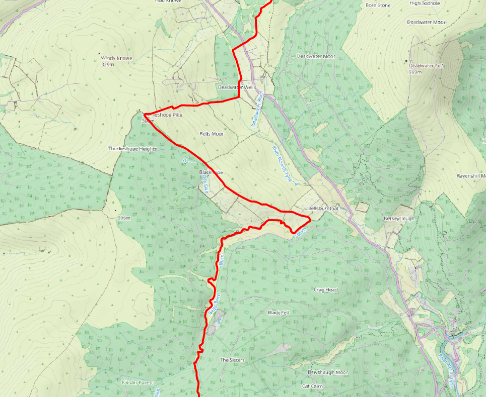
| Map of route taken |