Plashetts
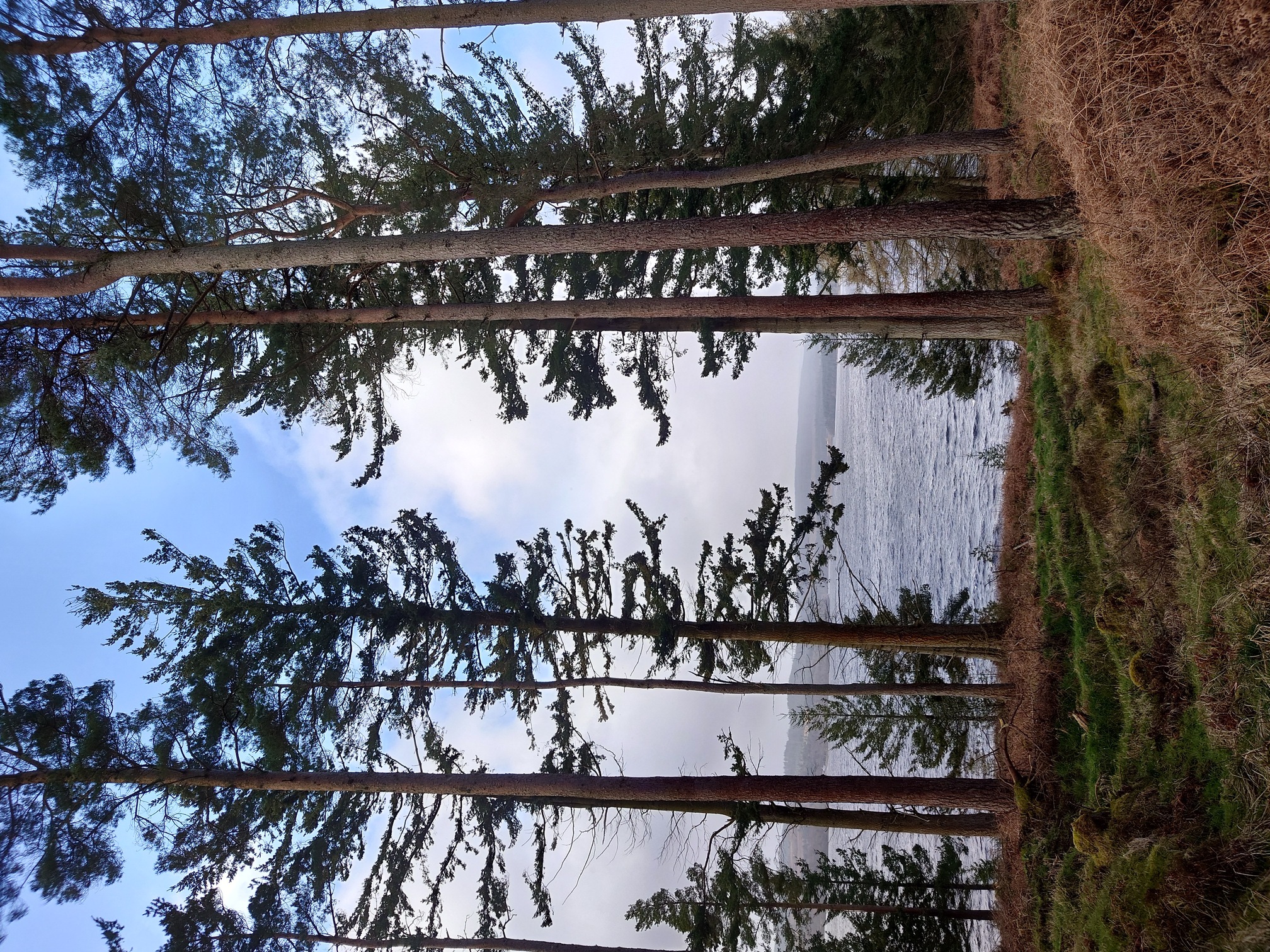 |
Seeing as it’s 100 years since the first planting at Kielder Forest, I went on a history adventure to take a look at what might remain of the industry before the trees. Before the dam was built in the 1970s, and before the trees were planted, the Border Counties Railway (opened in 1858) led up the Tyne Valley from Hexham, over the border to Riccarton Junction where it joined the Waverley Line. Making use of this were various industries, including a set of coal workings and associated industries at Plashetts, about 3 miles north west of the modern Kielder Dam. From Plashetts station, steep inclined planes and wagonways wound further into the hills to serve drift mines and the associated workforce that grew up around them.
North East Heritage Library has a good simple summary and old maps of the area are on the NLS website.
The industry and pits declined in the early 1900s, with the railway closing in the 1960s. When Kielder was dammed, the main railway bed and buildings were all flooded, but the higher Plashetts pits were not and instead eventually consumed by the forest.
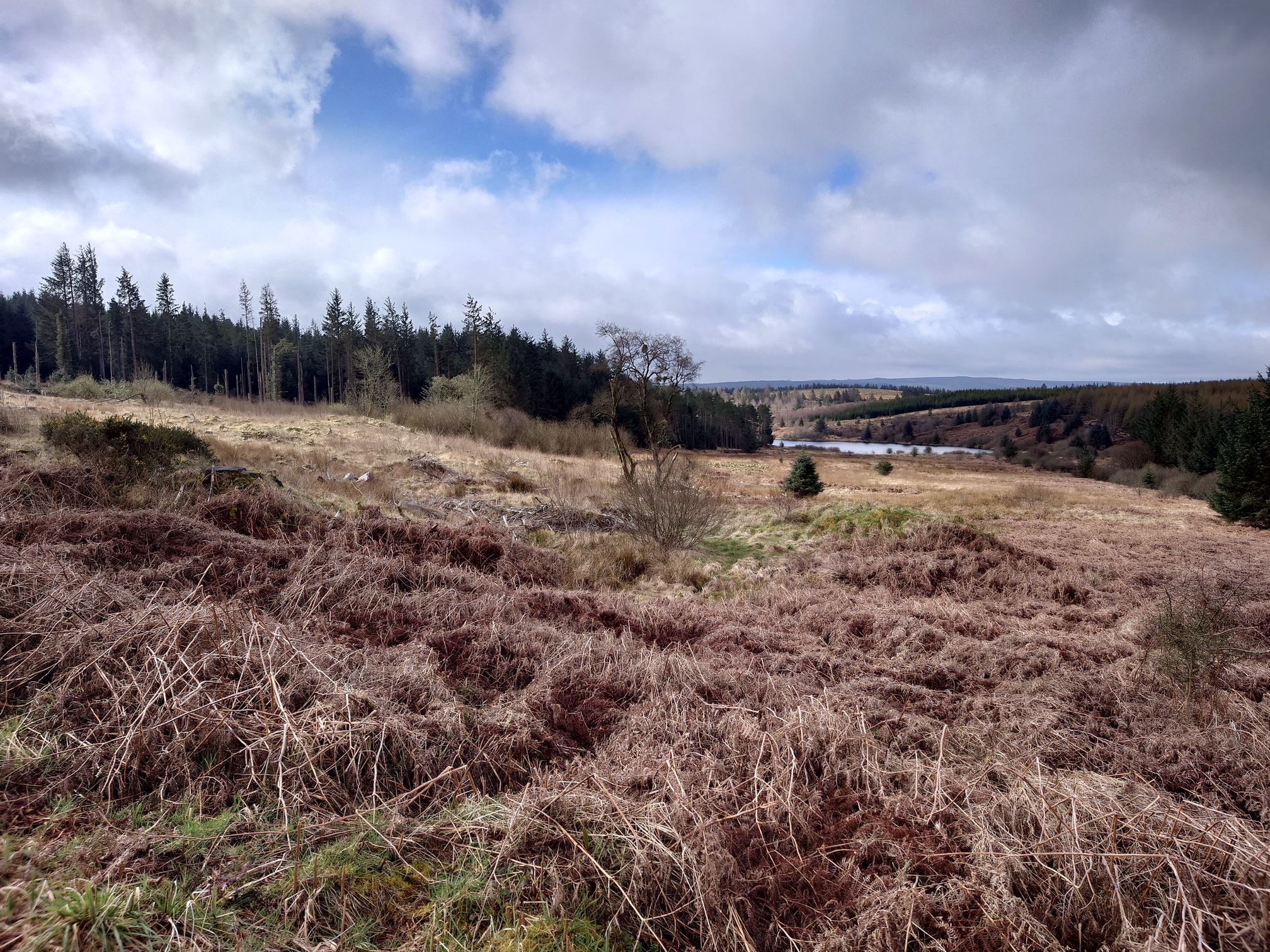
Walking from Hawkhope car park, the first ruins marked on the old maps that I came to was Far Colliery, which now sits in a clear space above the Belling Burn near where it runs into Kielder. There was nothing to see - tussocky ground, covered with old forestry brash. If you had a good imagination you could maybe see some of the tussocks looking rectangular.
 |
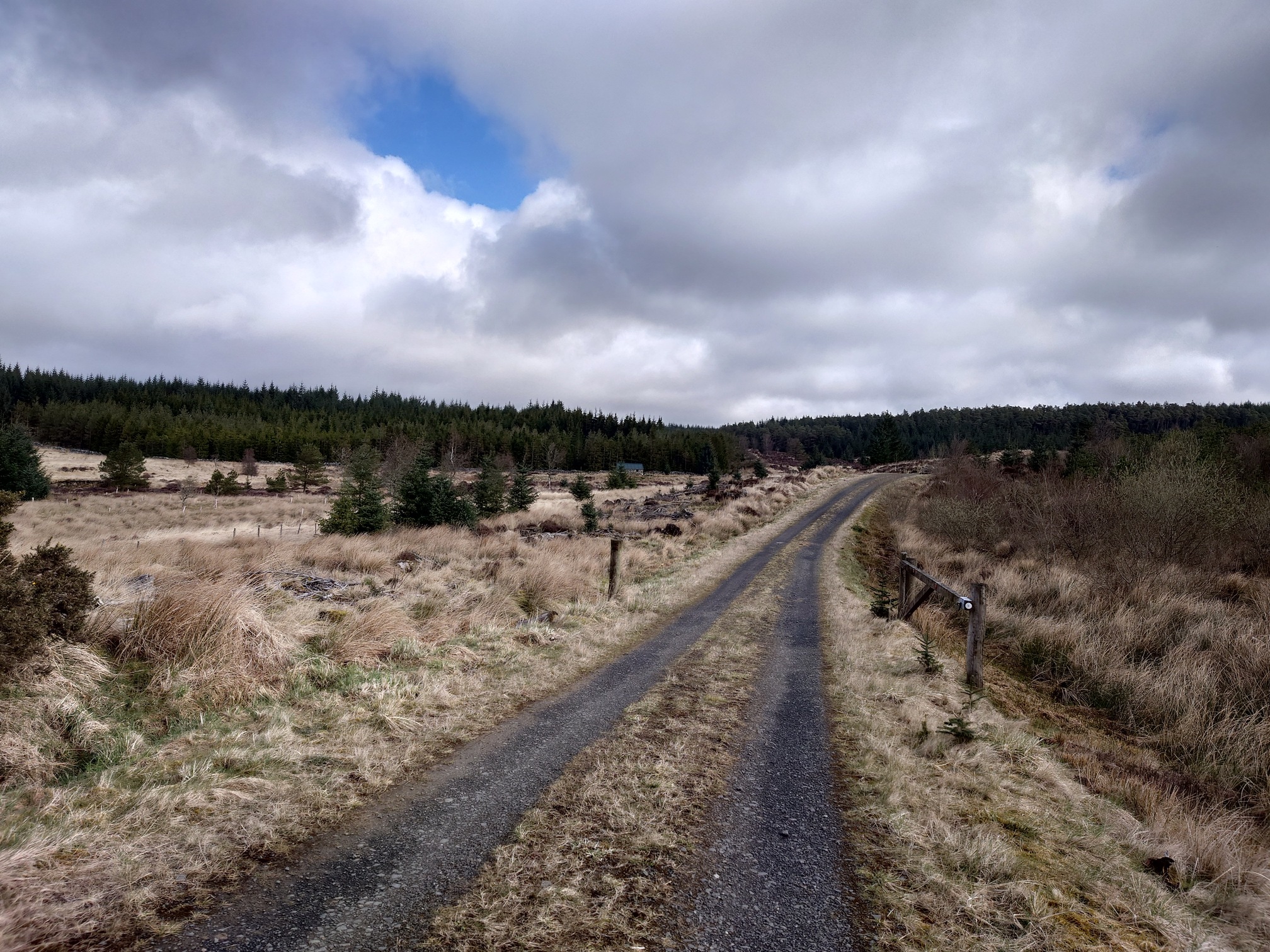
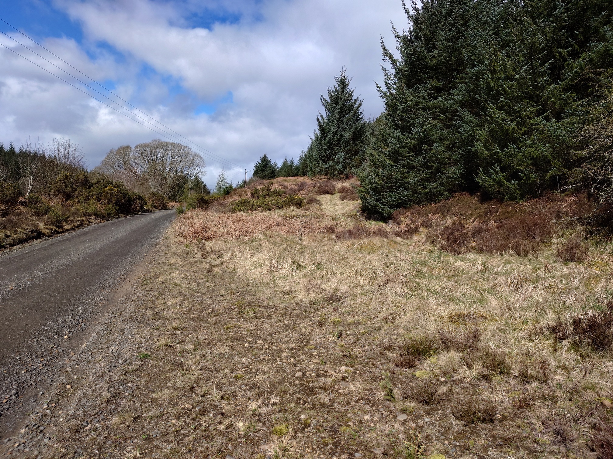
I then followed forest roads north, passing the Mountain Bothies Association’s Bellingburn Barn, which was only opened last year, you can just see it in the centre distance of this picture.
 |
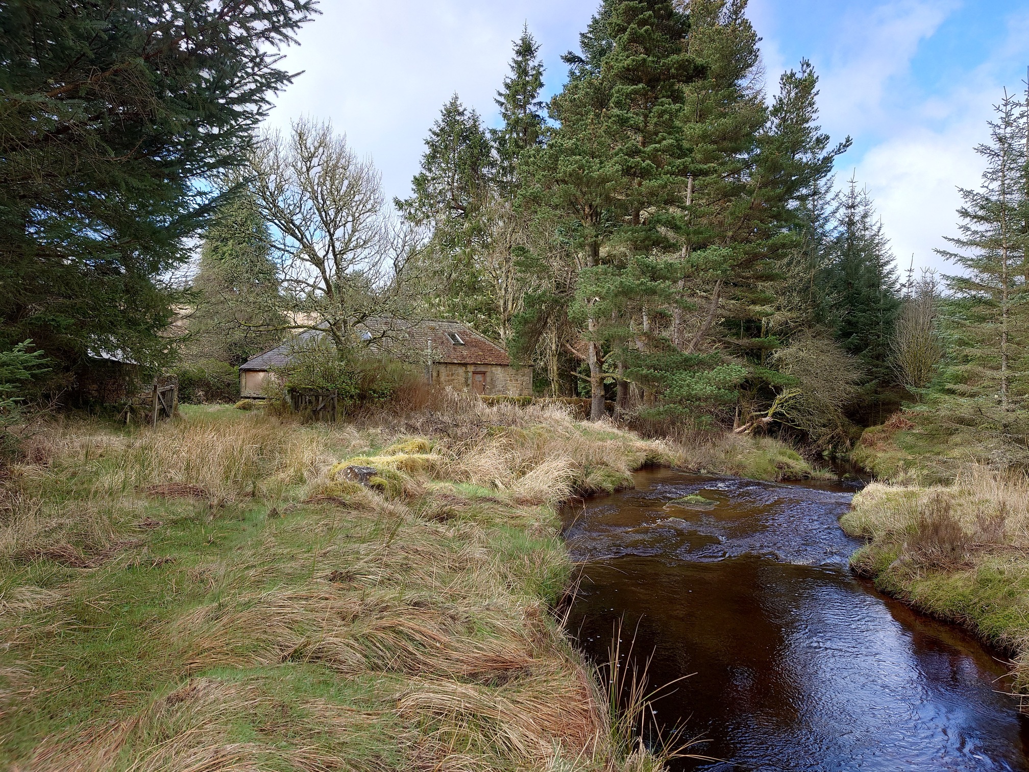
A turn off here led along a very old, overgrown track, which forded the Belling Burn and led me to Bellingburn Head, in an idyllic setting next to the river, a decent-sized house with a few stone outbuildings - for some reason I completely failed to take a picture of the house itself.
 |
 |
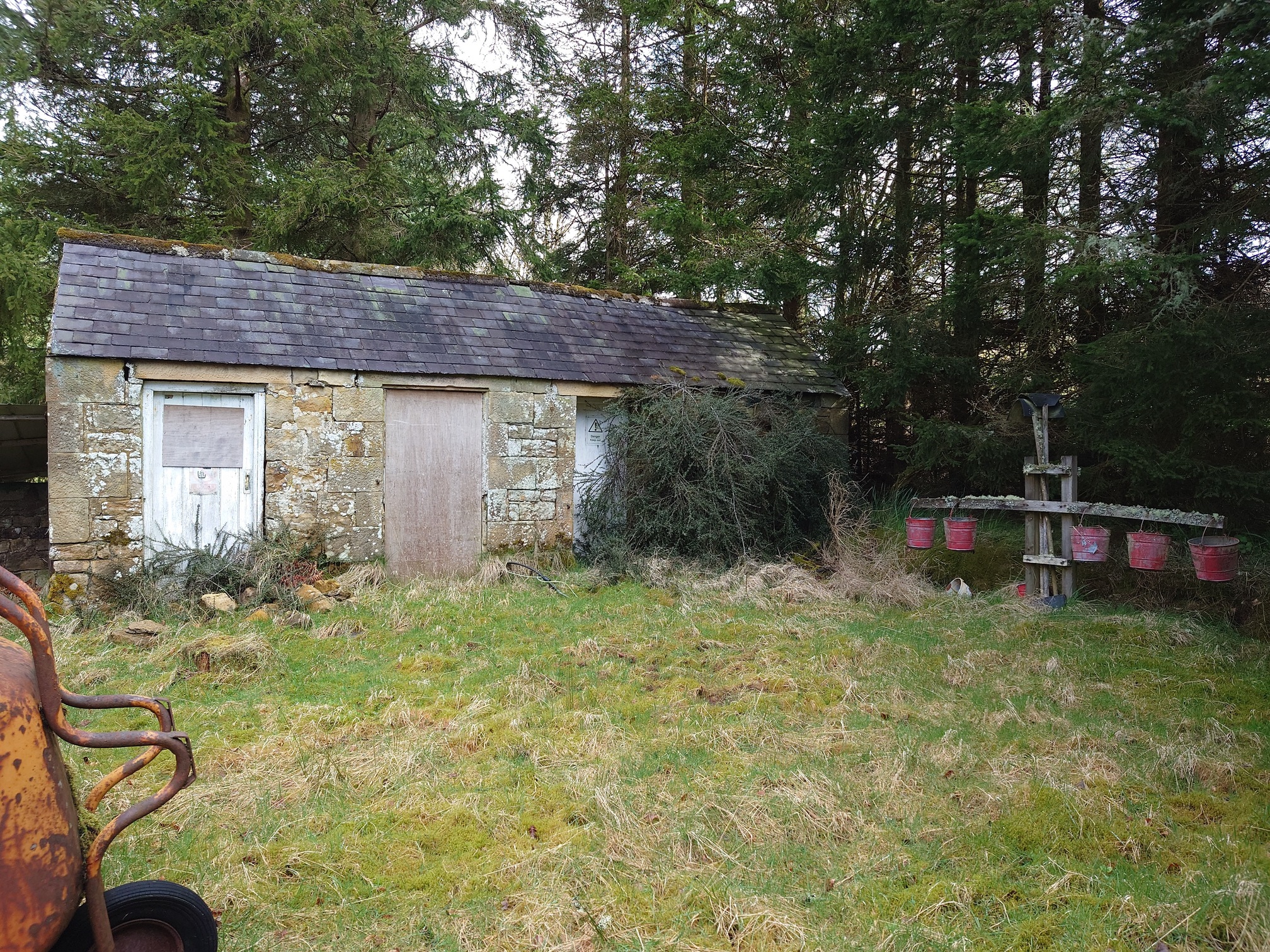 |
I think this used to be (or still is - the padlocks on the doors were very shiney) an Outdoor Education Centre, but I also think Valdemars Blankenburgs lived here, as while searching for more information on him I found this website that seems to be a family history site, showing him with his wife, Elfrida, at Bellingburn Head.
Valdemars Blankenburgs came to the England in 1947 and was employed as the surveyor for Kielder Forest. He walked over 12,000 miles to survey new roads and planting areas, taking over 10,000 photographs, documenting both the massive changes as the forest increased, but also areas that are now submerged under Kielder Reservoir. He also identifed the William’s Cleuch Scots Pine trees as being of note - they are now believed to be the only naturally grown Scots Pines in England, and I visited them a few years ago.
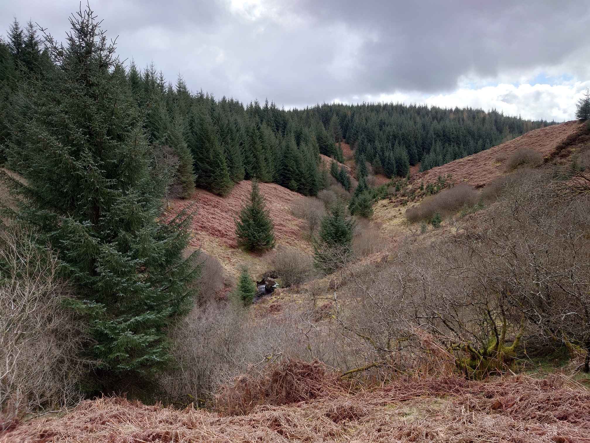
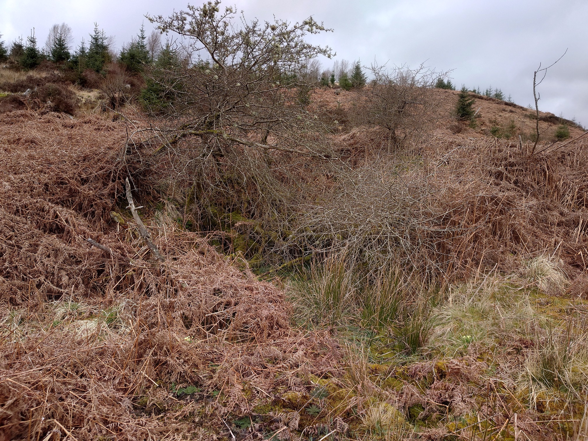
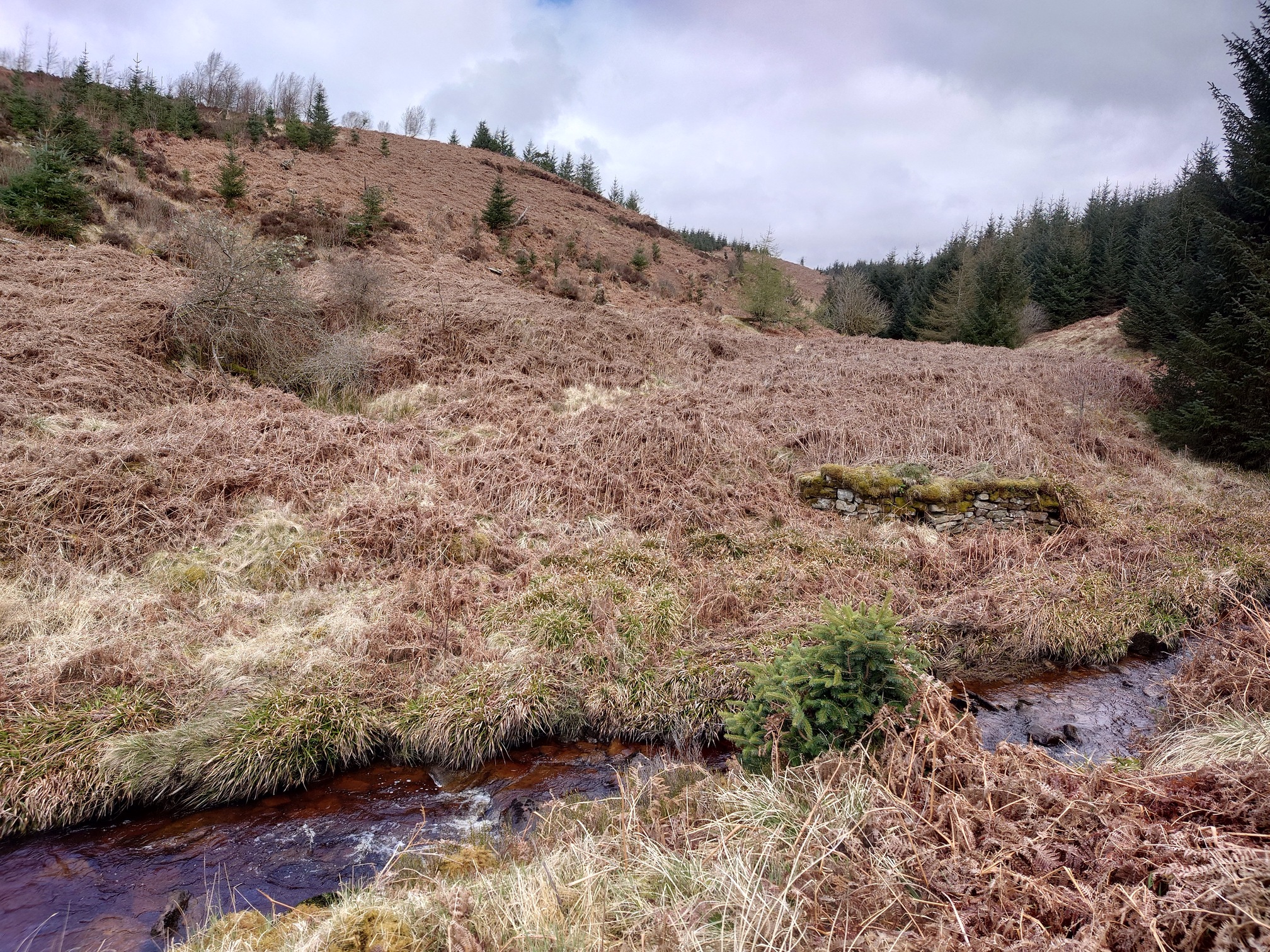
From Bellingburn Head, the walk got a little tougher. I followed the Belling Burn south to try to reach a few buildings marked on the old map. It was a very steep slope and thick with bracken; I tried climbing up to see if anything remained of an old track that might be easier to follow, but no luck. Eventually I reached the higher ground above the ruins I wanted to look at, and started climbing down, unsure if anything would be there at all.
 |
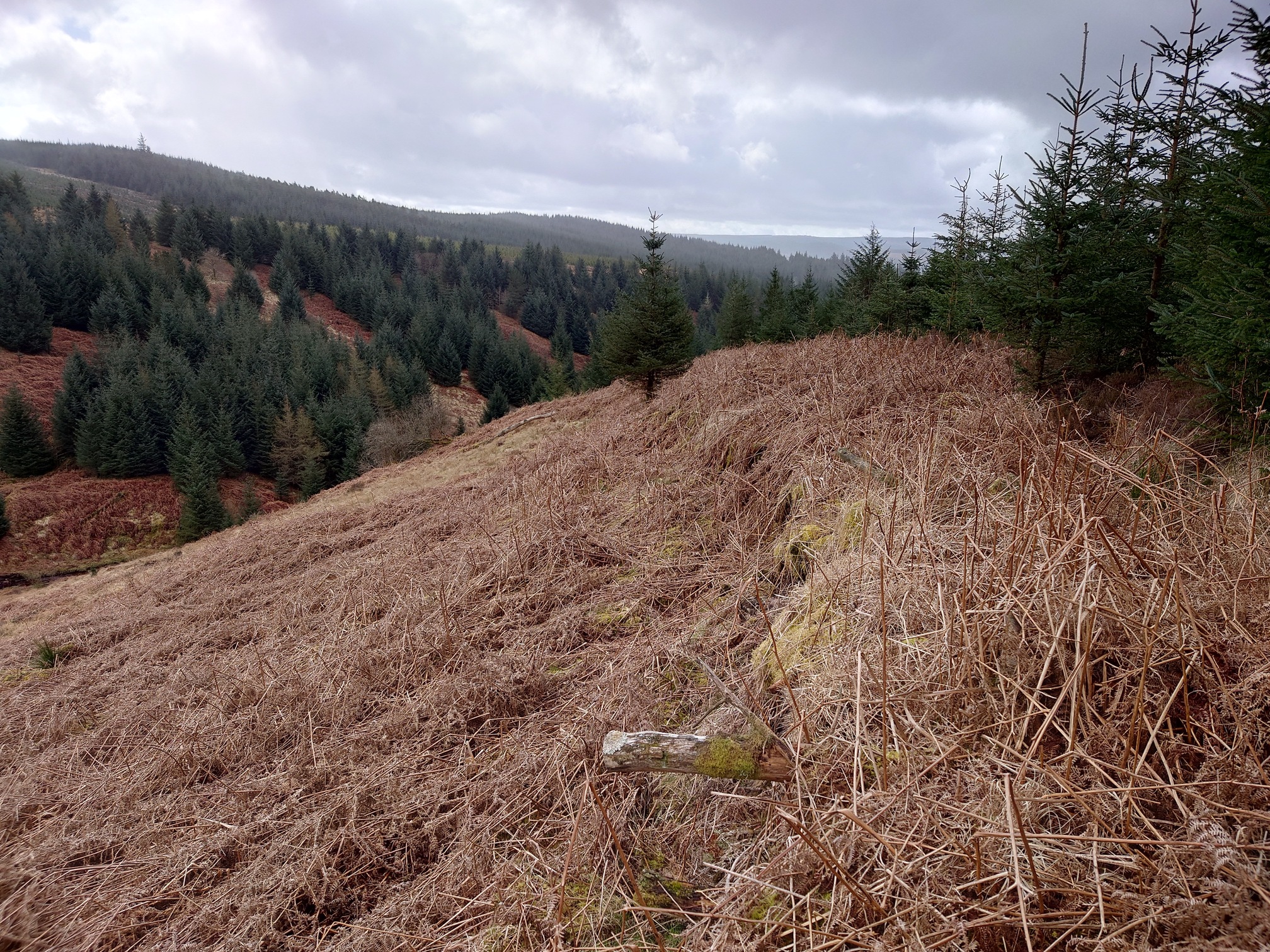 |
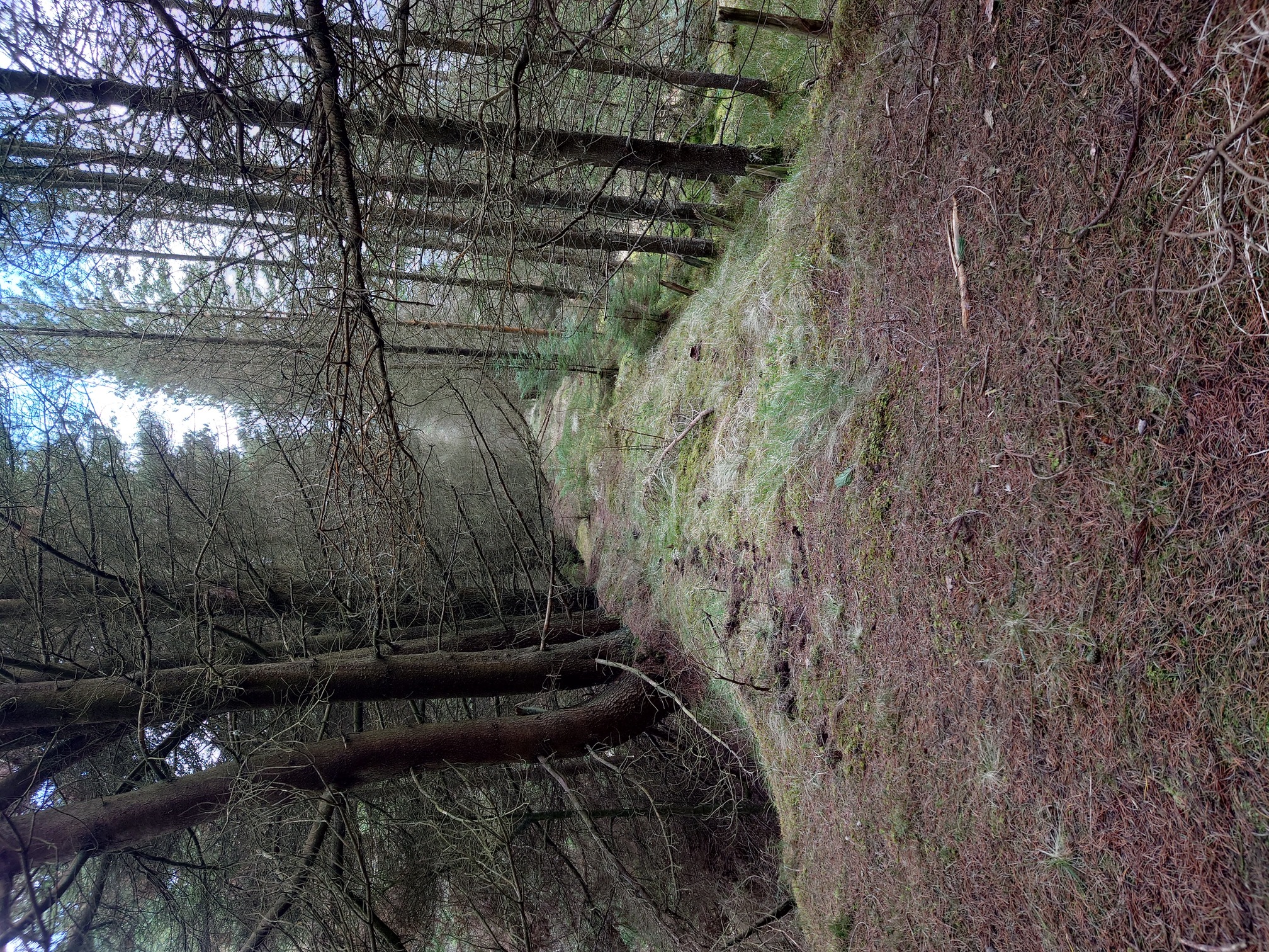
| The trackway running alongside the trees |
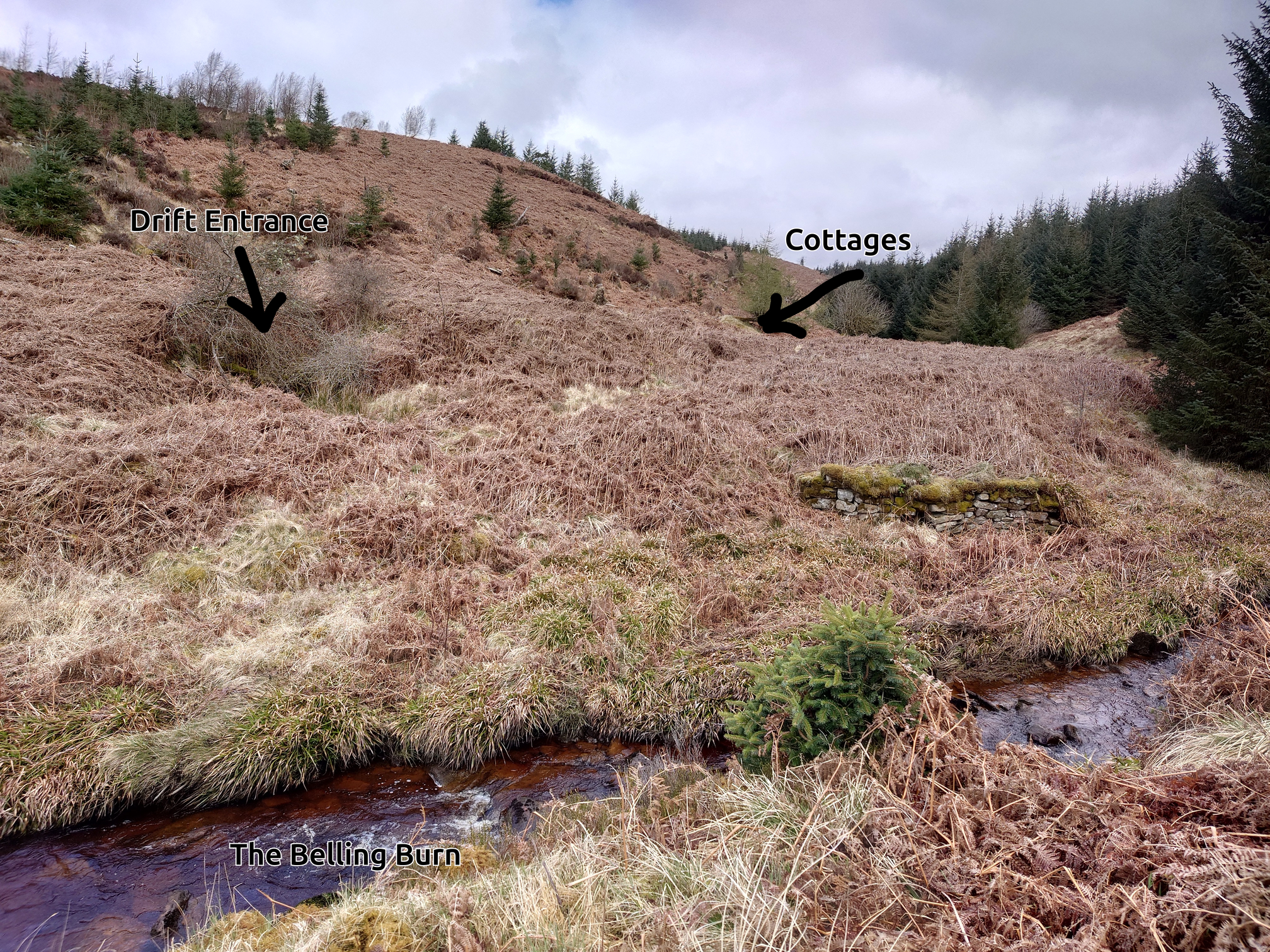
Once above where the map said the old drift was, I suddenly felt the ground starting to feel very soft, so I scrambled back a bit to avoid a tricky situation.. I think I was probably above the drift mine, so I dropped round and found a likely-looking hollow in the slope with an old gnarly tree in it. Pushing past the tree, I could see the archway of the entrance to the drift mine!
 |
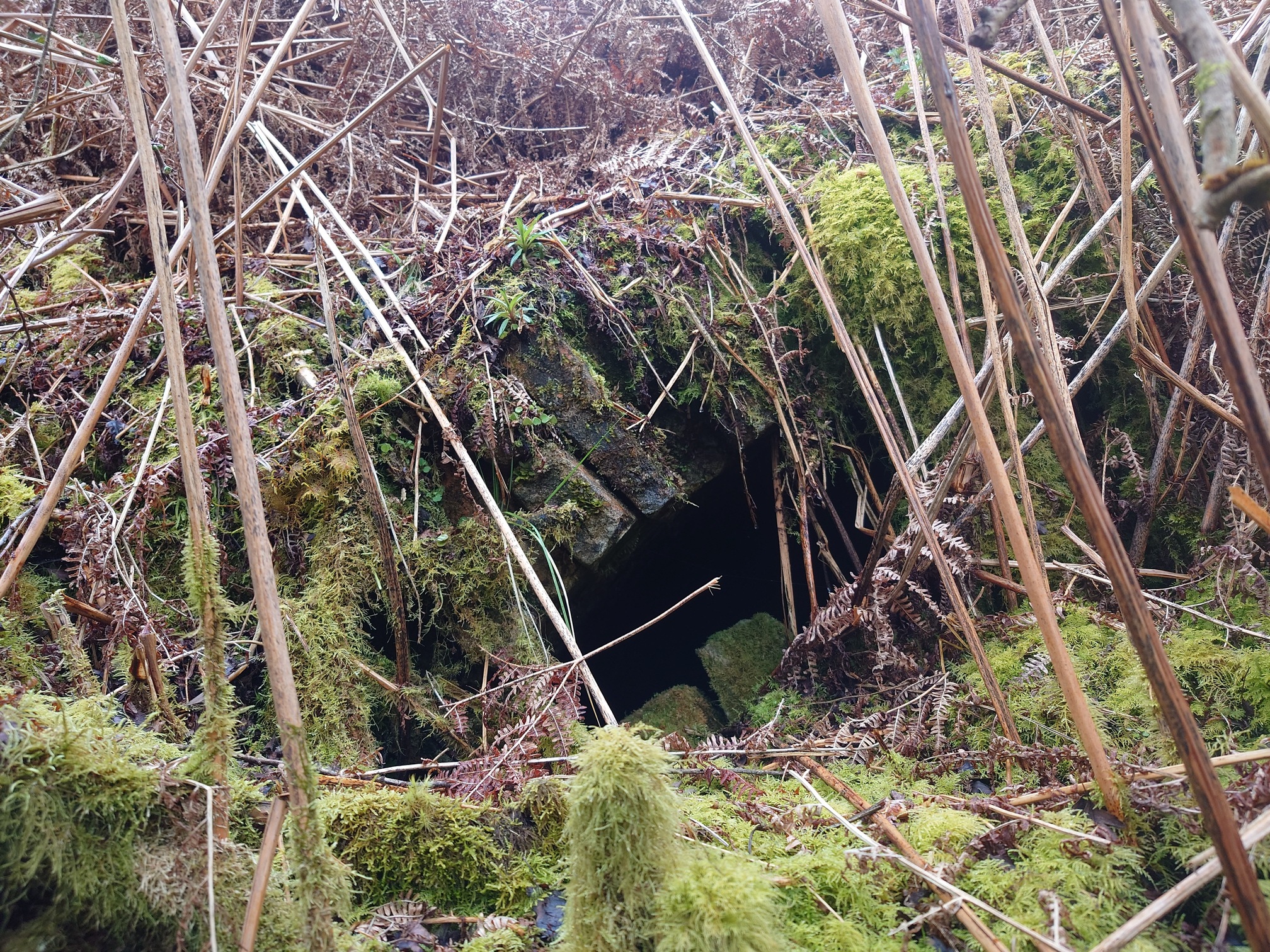 |
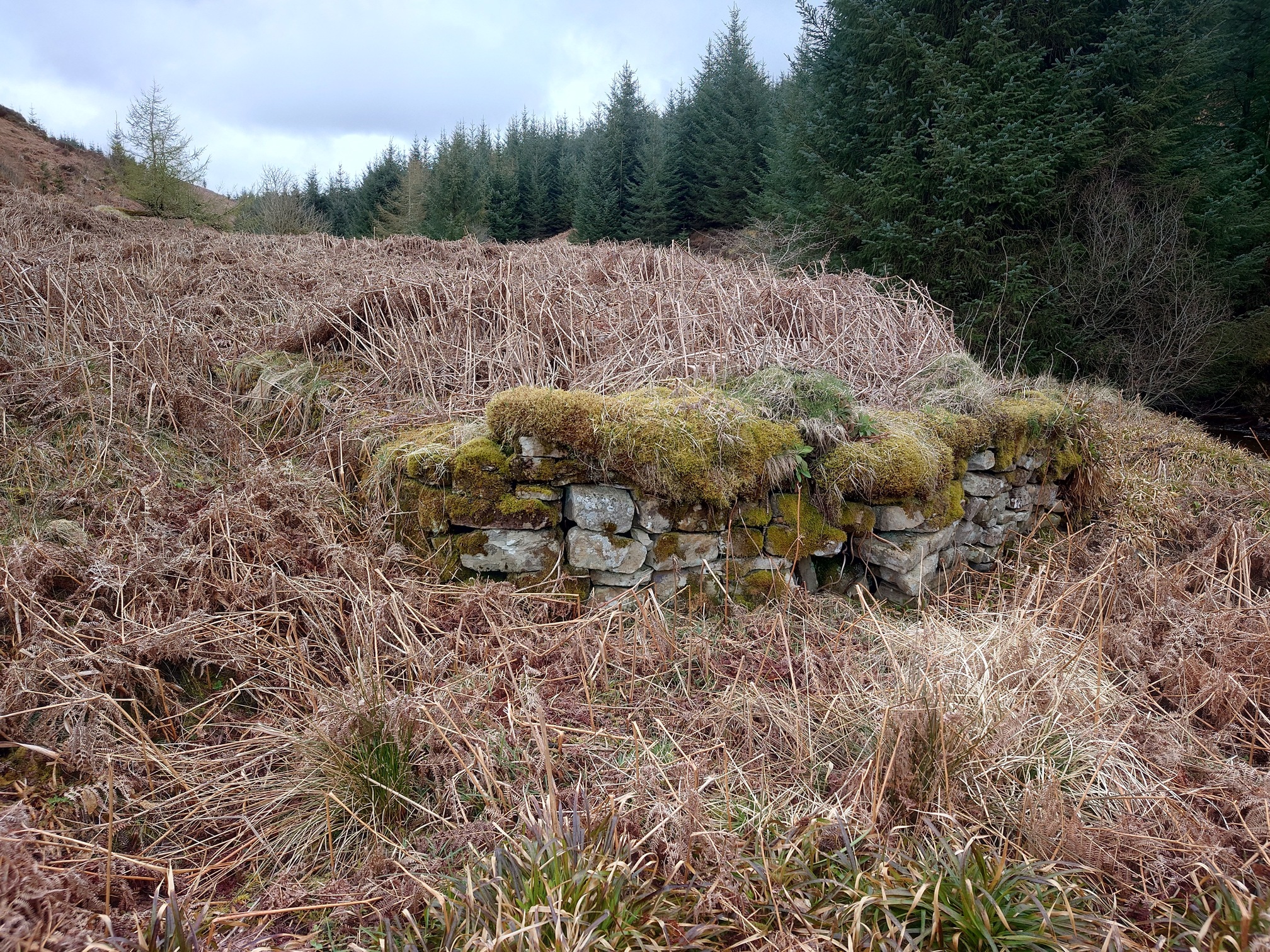
This was Seldom Seen Pit, the first pit at Plashetts. A drift mine is one where the mine is cut into the side of the hill horizontally (rather than a vertical pit). When the other pits were sunk closer to the rail line, this one became known as Seldom Seen. A bit further round, I found the ruins of the cottages, a row of six 2-storey terraces “supposed to be very damp”
 |
 |
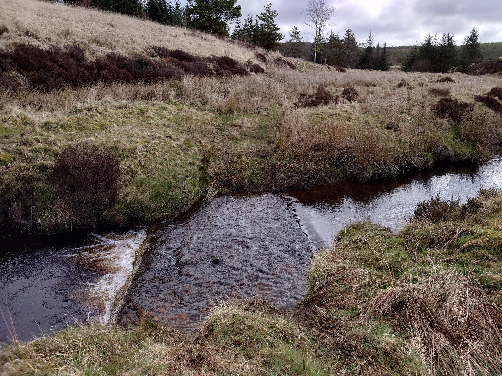
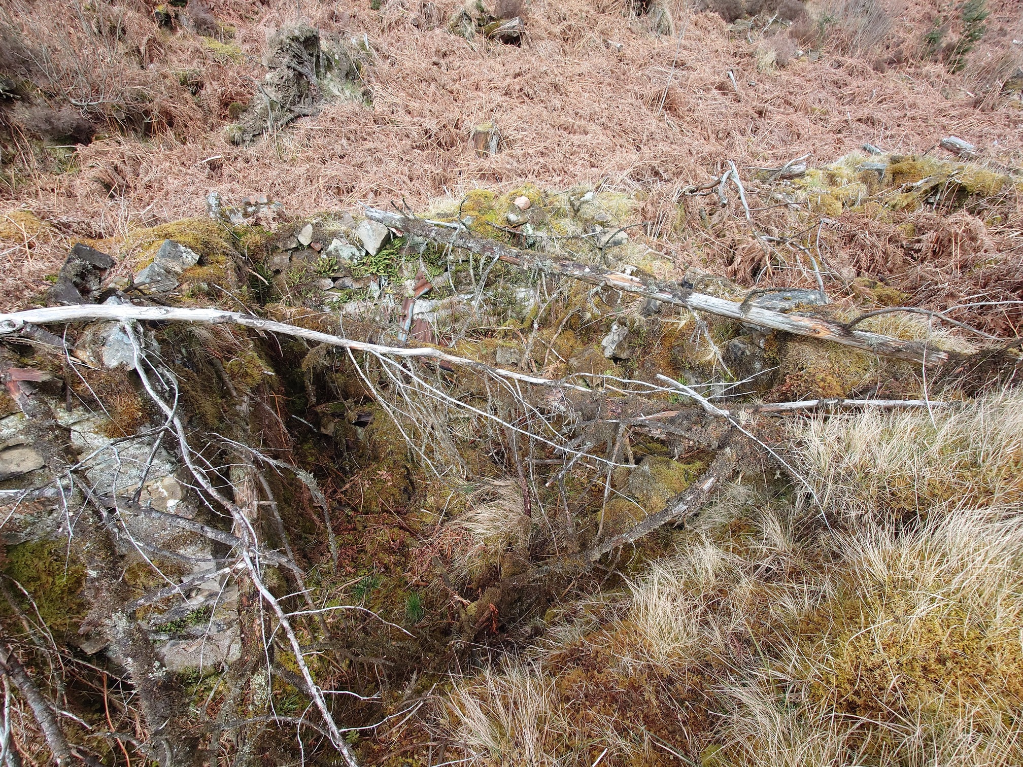
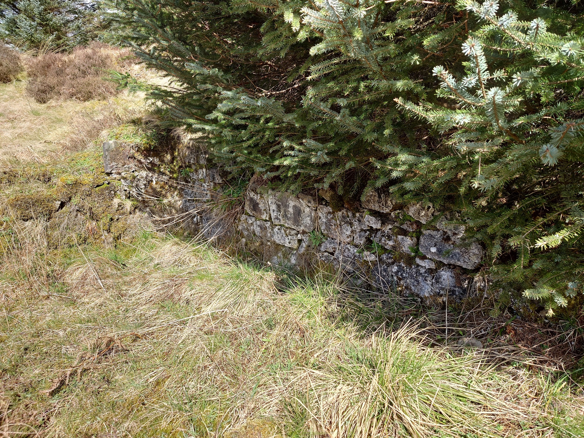
Pleased I had found some remains, I went to see where the wagonway would have crossed the Burn, and found a very nicely curving bit of stone wall. I’m not sure if this was a building or supported the wagonway over the burn.
 |
I had a snack here, then forded the burn.
 |
 |
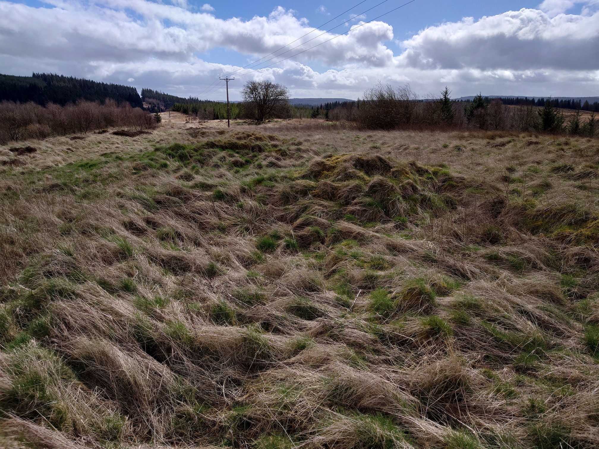
On the far side of the burn, the maps show how the wagonway led to staithes, from where the coal would be dropped down onto waiting wagons to take it further down the valley. I could see earthworks and trackbeds, but nothing else. I followed them downstream and reached the forest road, which now led to the main Plashetts Colliery Village (some great pictures in this news article from a few years back). at its height, 126 people lived here, with a row of shops, a methodist chapel and a miner’s institute. The only access was along a steep wagonway “The Plashetts Incline” that led up from Plashetts Station (now underneath Kielder). Work scaled back massively after the 1920s, and a handful of miners worked here until the final colliery closed in 1962.
There was very little to see on the ground, again just some rectangular bumps under the thick grass. Solid floor could be felt under the grass along the flatter area adjacent to the modern road, this was a row of shops, at the end of which I did find some upright stones - part of the Methodist Chapel.
 |
 |
 |
Over on Geograph, there’s several photos of the area taken in 2008 that look much the same as they do now, taken by Les Hull who has a bit of extra information too.
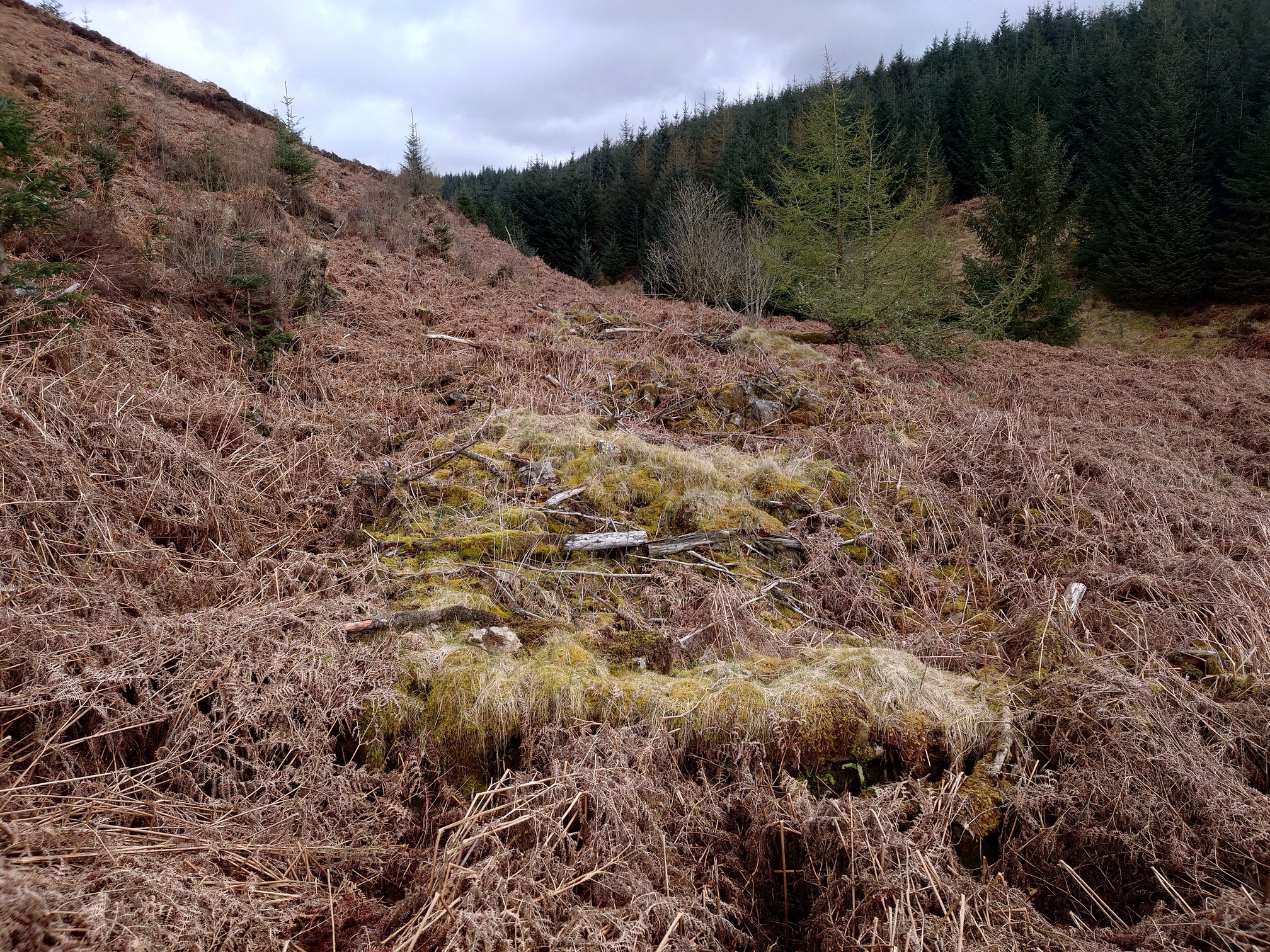
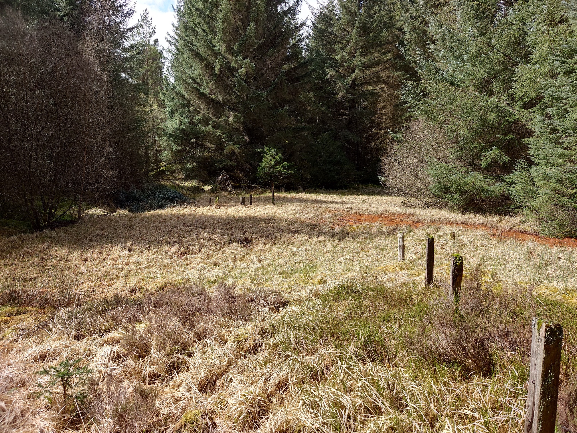
Moving on to the final piece to look at now. Another, shorter, incline plane wagonway led up from Plashetts to some structures marked on the old maps, and an air shaft. A walk along some more forest road and then through the trees, and I came across this large flat area that was the terminal of the incline plane.
 |
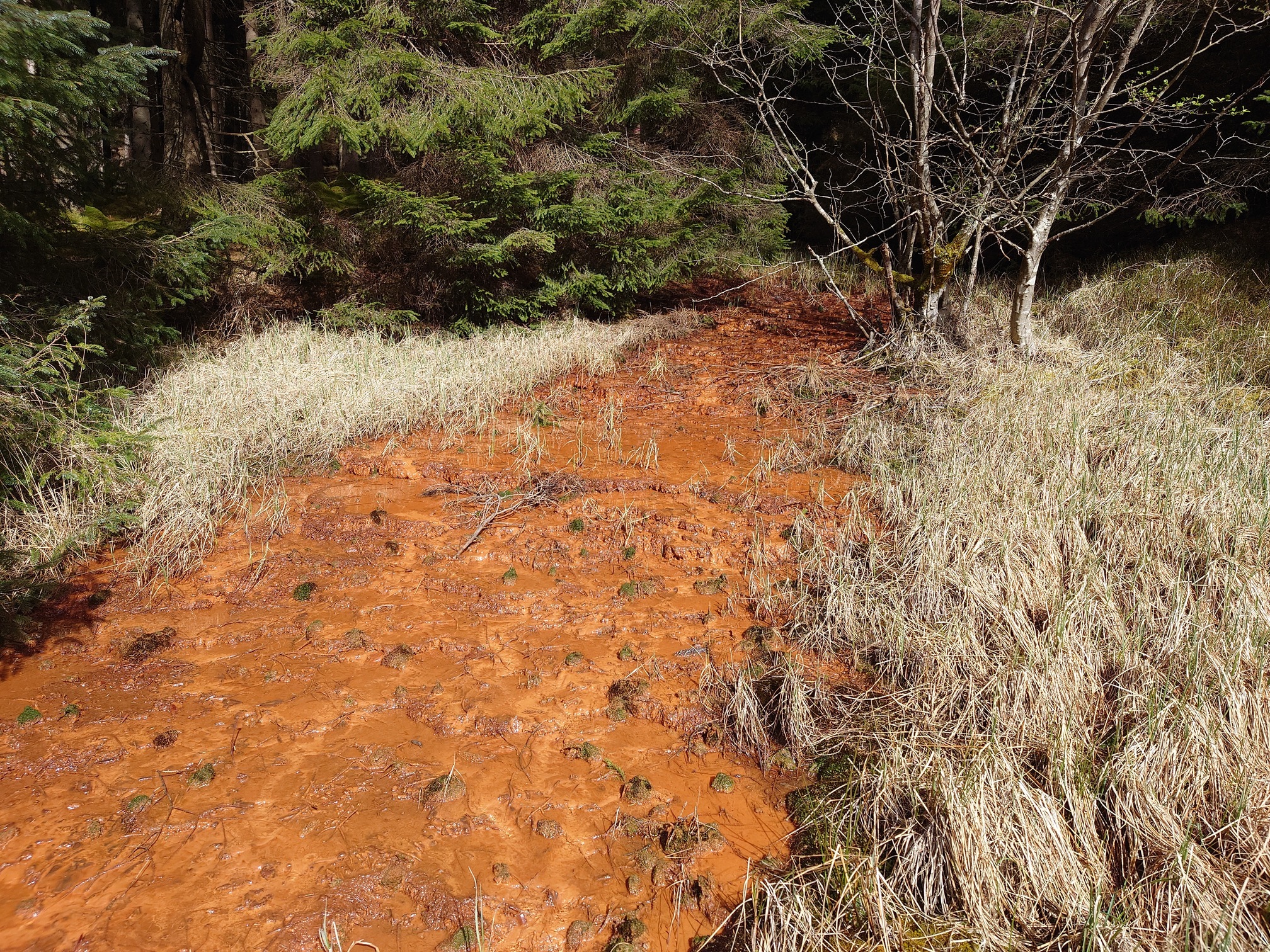
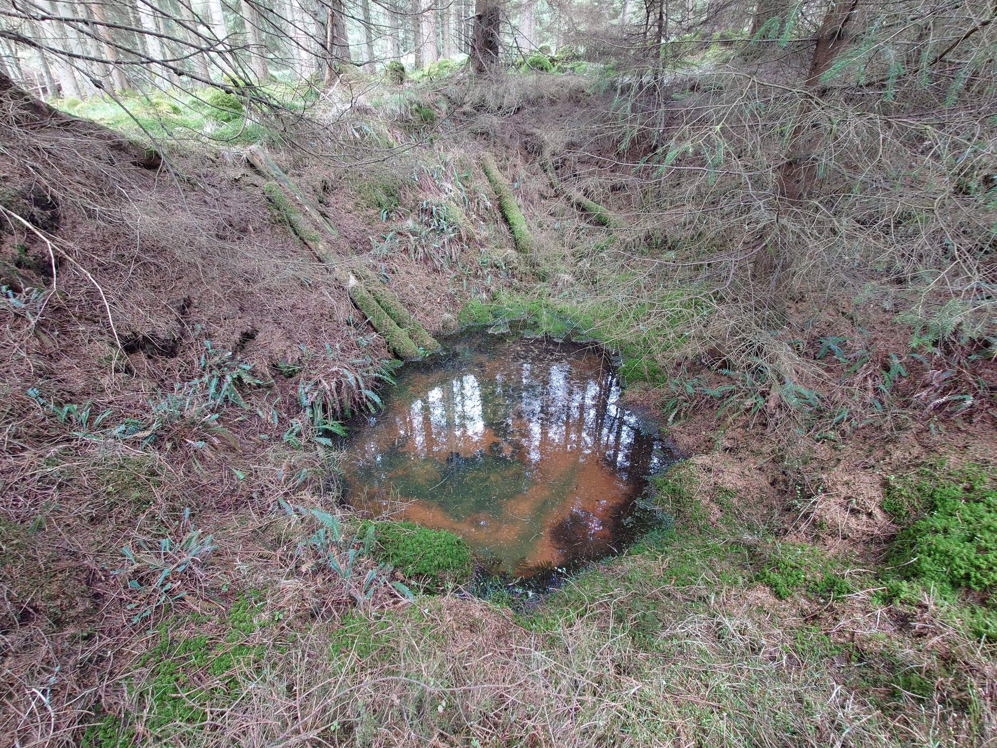
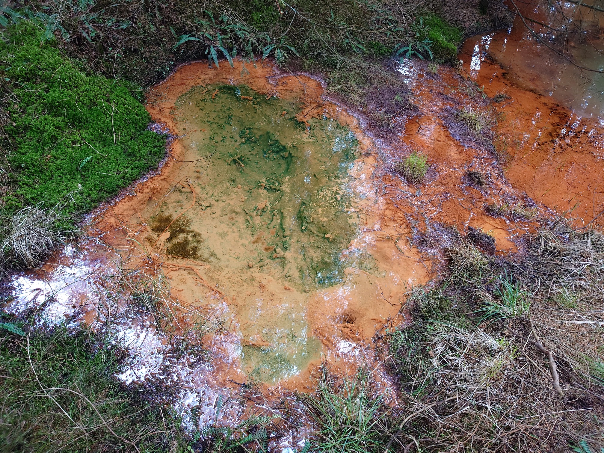
Water flowing out of the old mine is washing out the iron from the coal seams, turning the vegetation bright orange (the water itself is clear). It flowed out of three holes sat in dips in the forest floor - the shafts marked on the map.
 |
 |
 |
Back in the open area, the ground was boggy but I could feel the crunch of gravel underneath the thick grass. I followed the incline plane down through the forest to the road.
 |
From here, it was just a nice 10km wander along part of the Kielder Lakeside Way and back to the car.
| Map of route taken |