Kershope
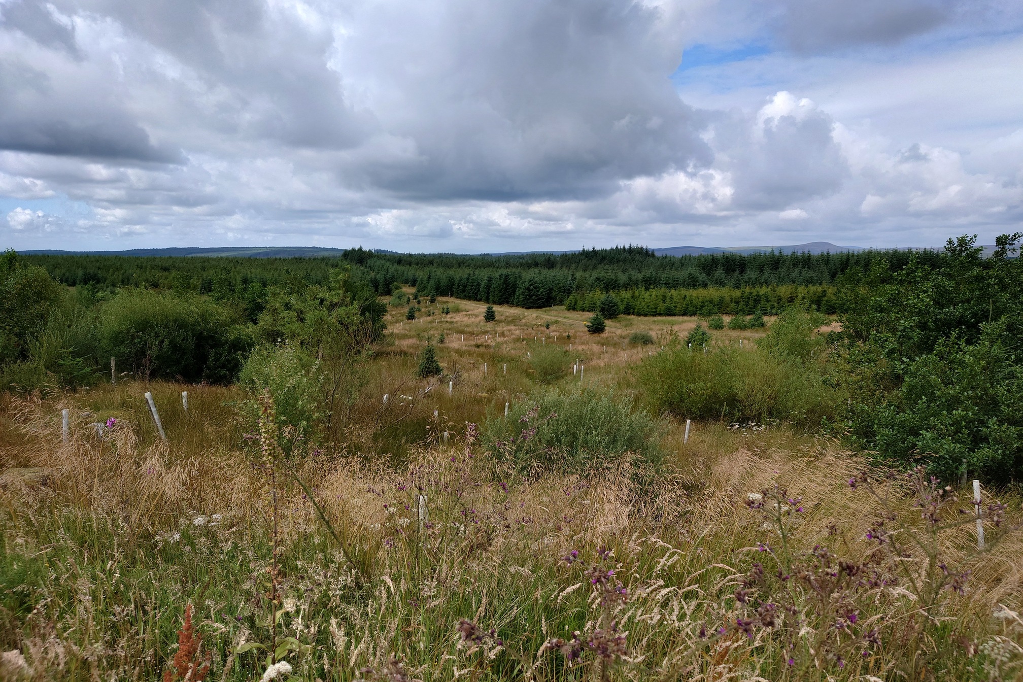 |
I love walking to remote places, what could be more remote than the point in England furthest from a road? In the whole of the UK, the most remote point from a road is (obviously) up in the Cairngorms near Glen Tilt, around 15km from any roads. In England, however, where we have more roads and fewer mountains, the best you can do is a spot in (obviously) Northumberland that lies, according to the OS, on the edge of the forest 7.6km from the nearest road, on a burn that drains Glendhu and near a feature named “Hell’s Bottom”.
I’ve had this on my map for a while, the easiest and obvious route is to walk along forest roads from the North. That’s a bit boring because Kielder is boring, there’s far more interesting things to the south of here in Kershope Forest. I told me dad I was going into Kerhope and he said “people die in Kershope Forest, they walk in and they don’t walk out again” so with that inspirational quote in my heart, I drove into Cumbria to park at Cuddy’s Hall picnic site, now just an overgrown patch of ground, and set off to have a look round Kershope.
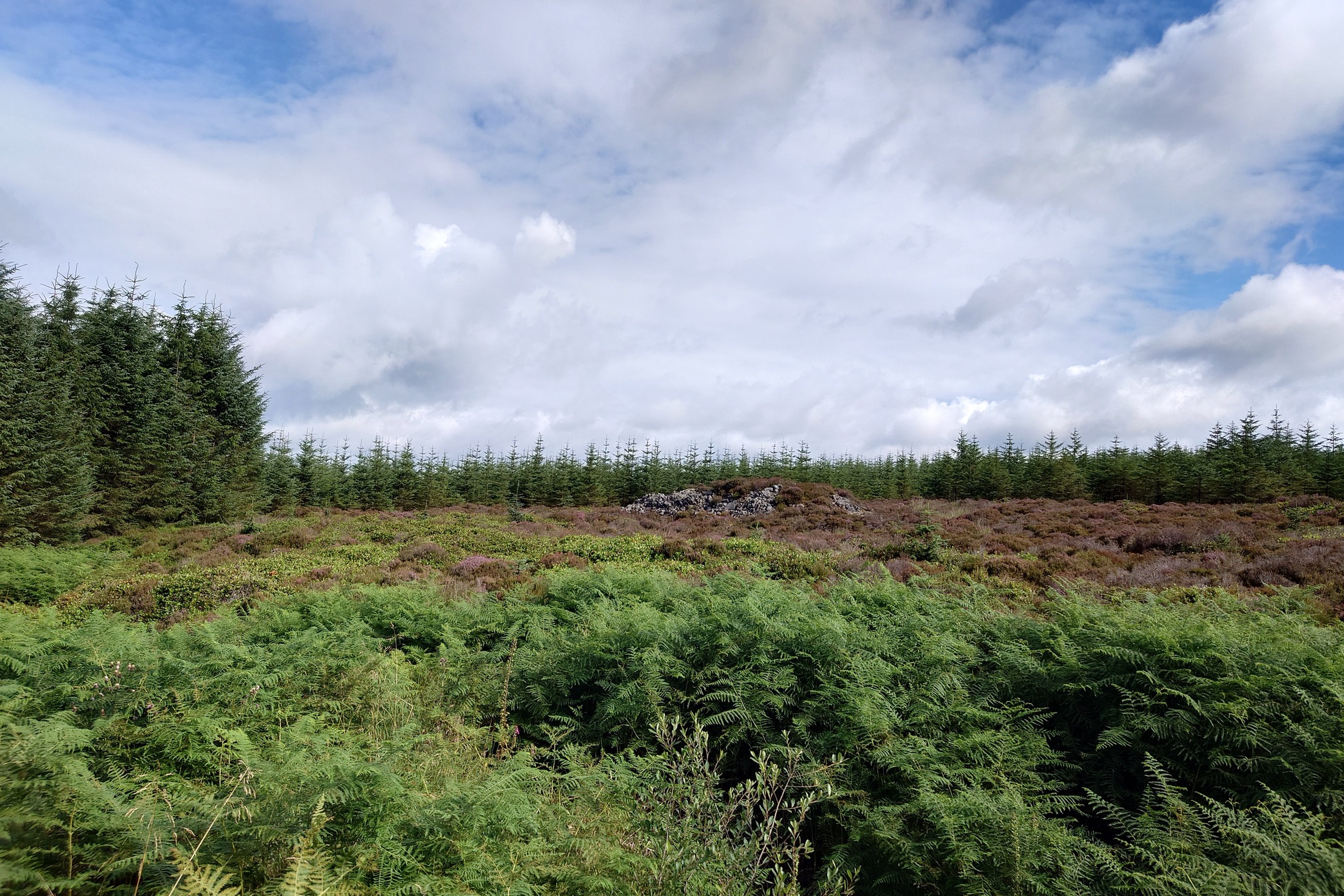
After a few km along pleasant forest tracks, I spotted the Long Cairn, a neolithic burial mound.
 |
From there, a few more kilometres to reach Davidson’s Monument
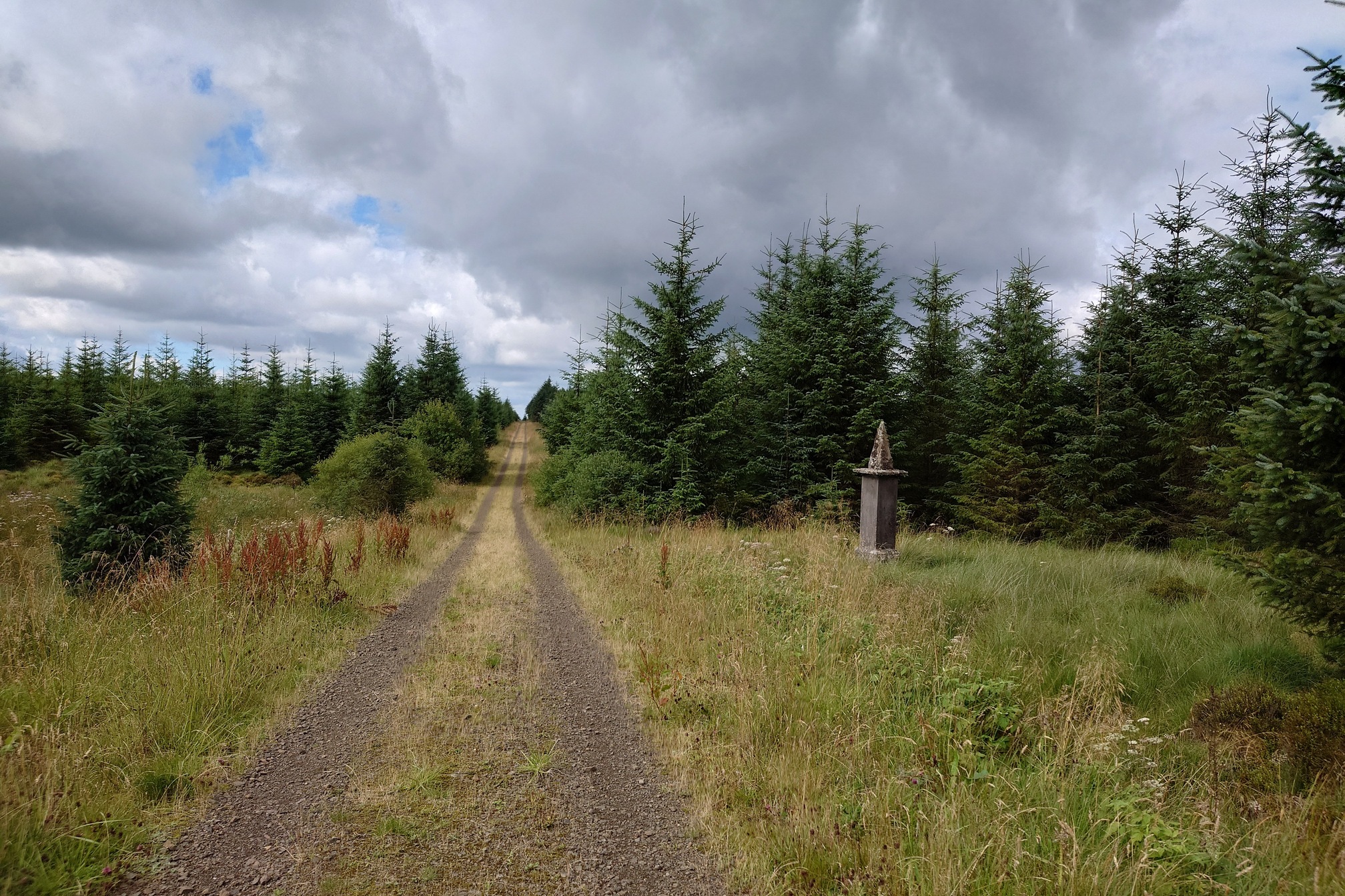 |
Thomas Davidson was a gamekeeper (and a poacher in his younger days). He left his wife and 8 chidren at Kettle Hall to go to work, but was found dead - strangled - at this place in 1849. James Hogg, his cousin Nicholas Hogg and Andrew Turnbull were accused of his murder. Turnbull claimed his innocence and hanged himself, while the Hogg cousins were found not guilty.
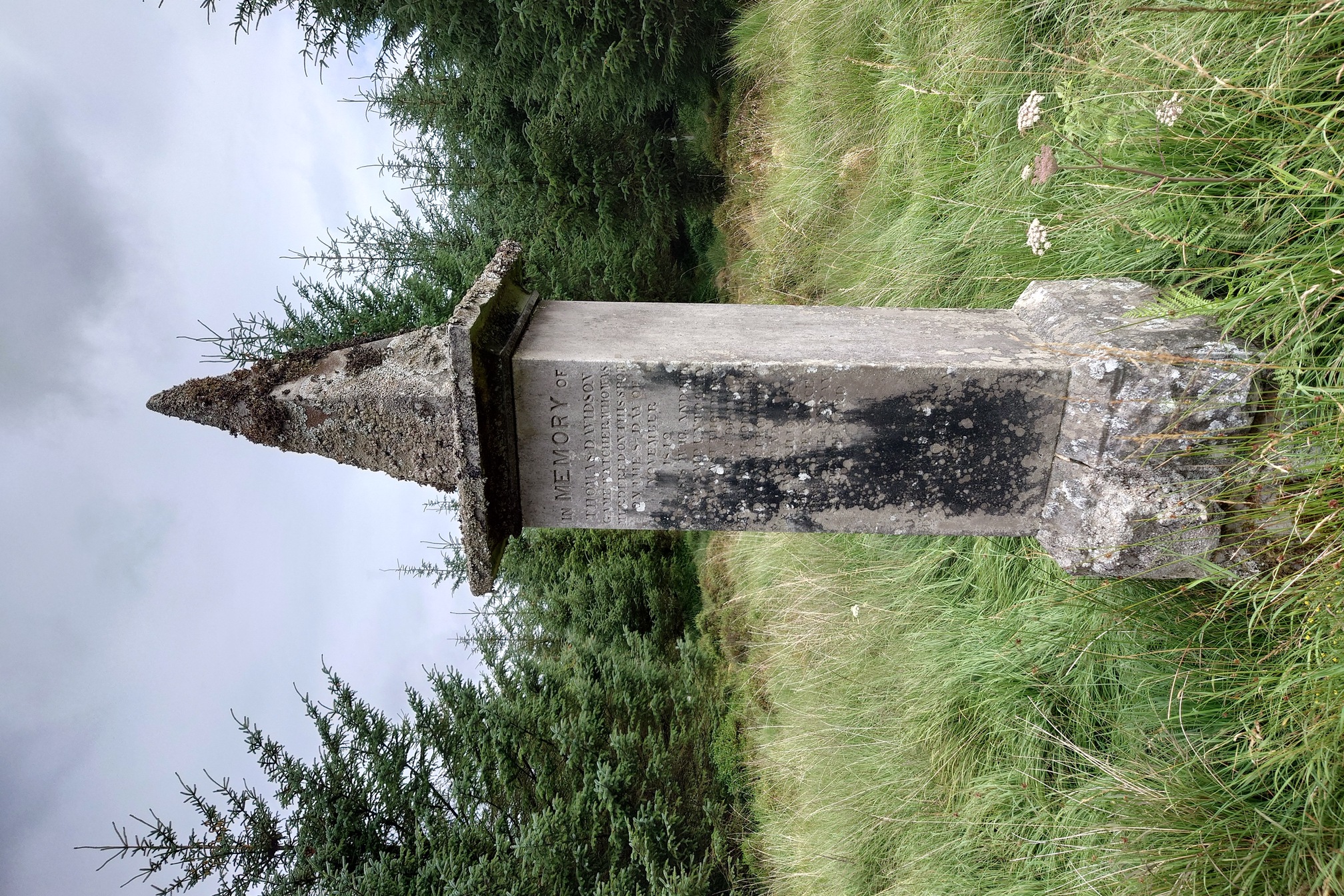 |
The inscription was weathered and hard to read. MBA’s Kershopehead Bothy sits a little way to the north, and they provide a very well-researched history on Thomas Davidon’s murder.
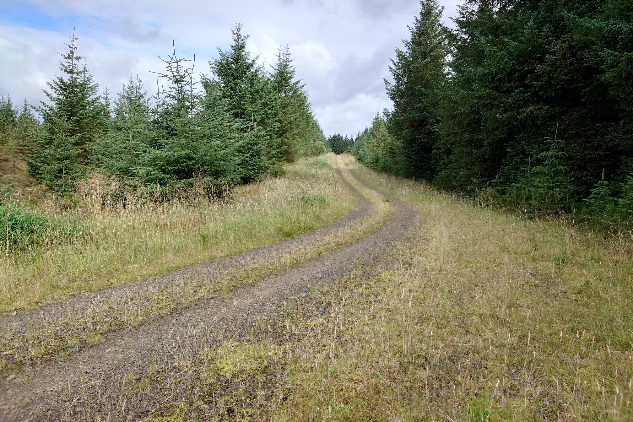 |
Doubling back, I kept on forest tracks for another 3 km until it thinned out and I could start cutting up to the summit of Glendhu Hill.
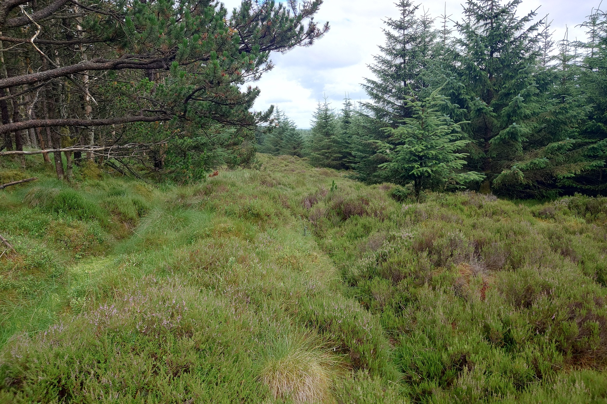 |
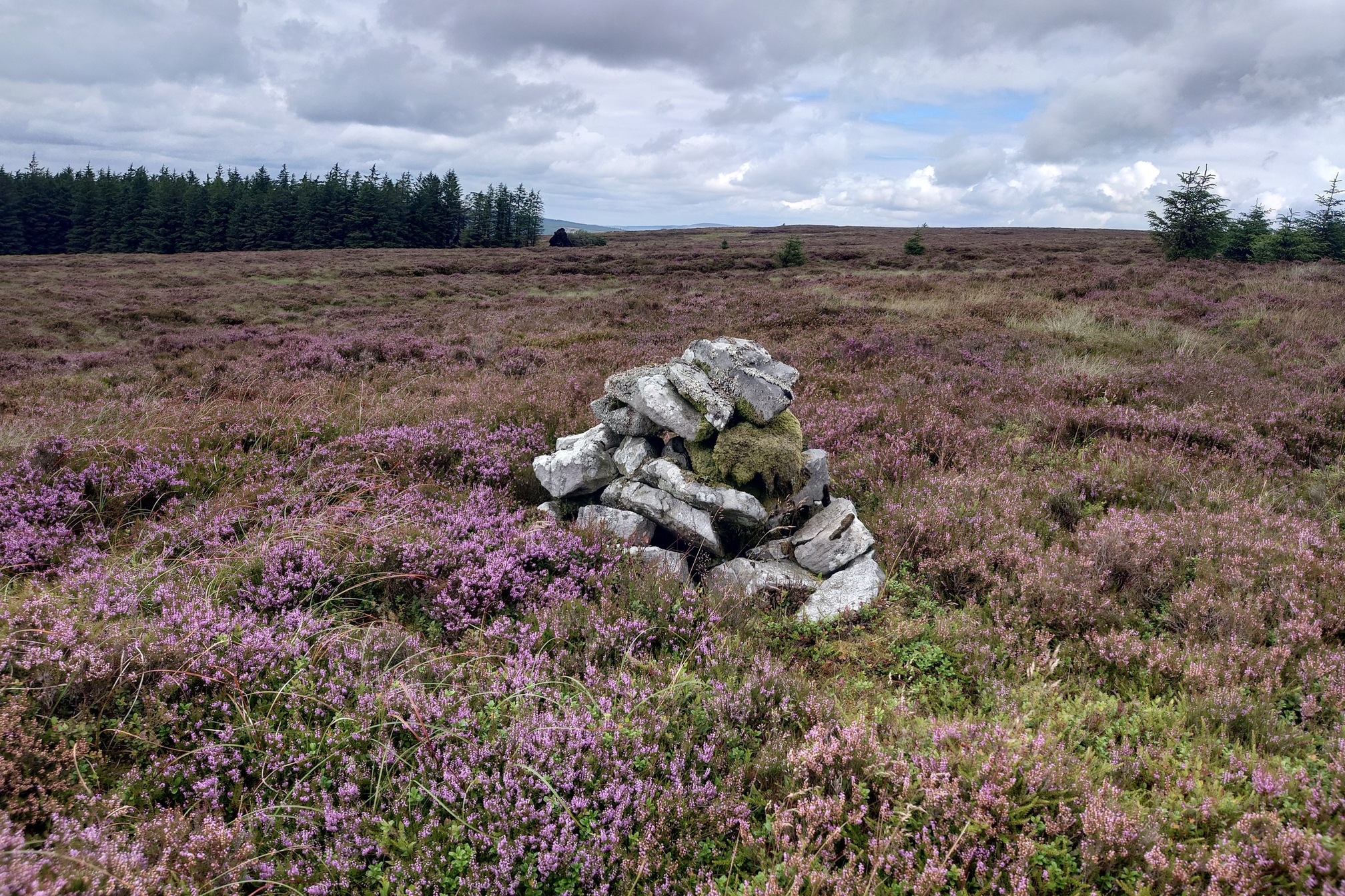
Now the going got very rough, with knee-deep tussocky heather, wet flushes and deep peat hags. Small cairns and curricks litter these slopes, I was able to make for one and eventually reach the trig point on Glendhu - one of the hardest to get to in Northumberland, trig baggers.
 |
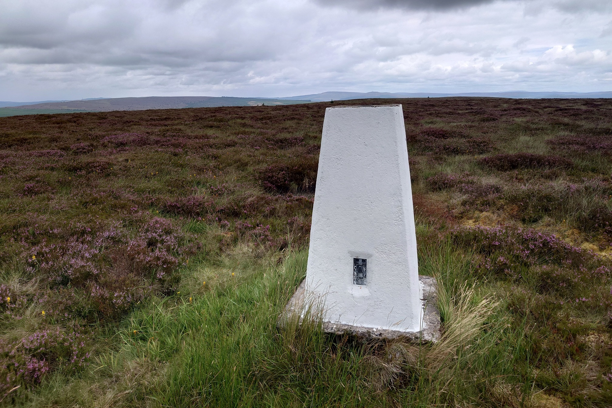 |
| Who is painting these? I keep coming across trig points in the absolute middle of nowhere and they’ve got a fresh coat of white paint |
A nice spot to sit and eat lunch after exahusting slog through the heather. There was more to come - the next 10 km would involve descending Glendhu into the forest, finding the most remote spot, then climbing out up a nameless hill to the south before crossing moorland to reach Christianbury Crags. I set off a little way, looking down on the forest around the valley of the Lewis Burn.
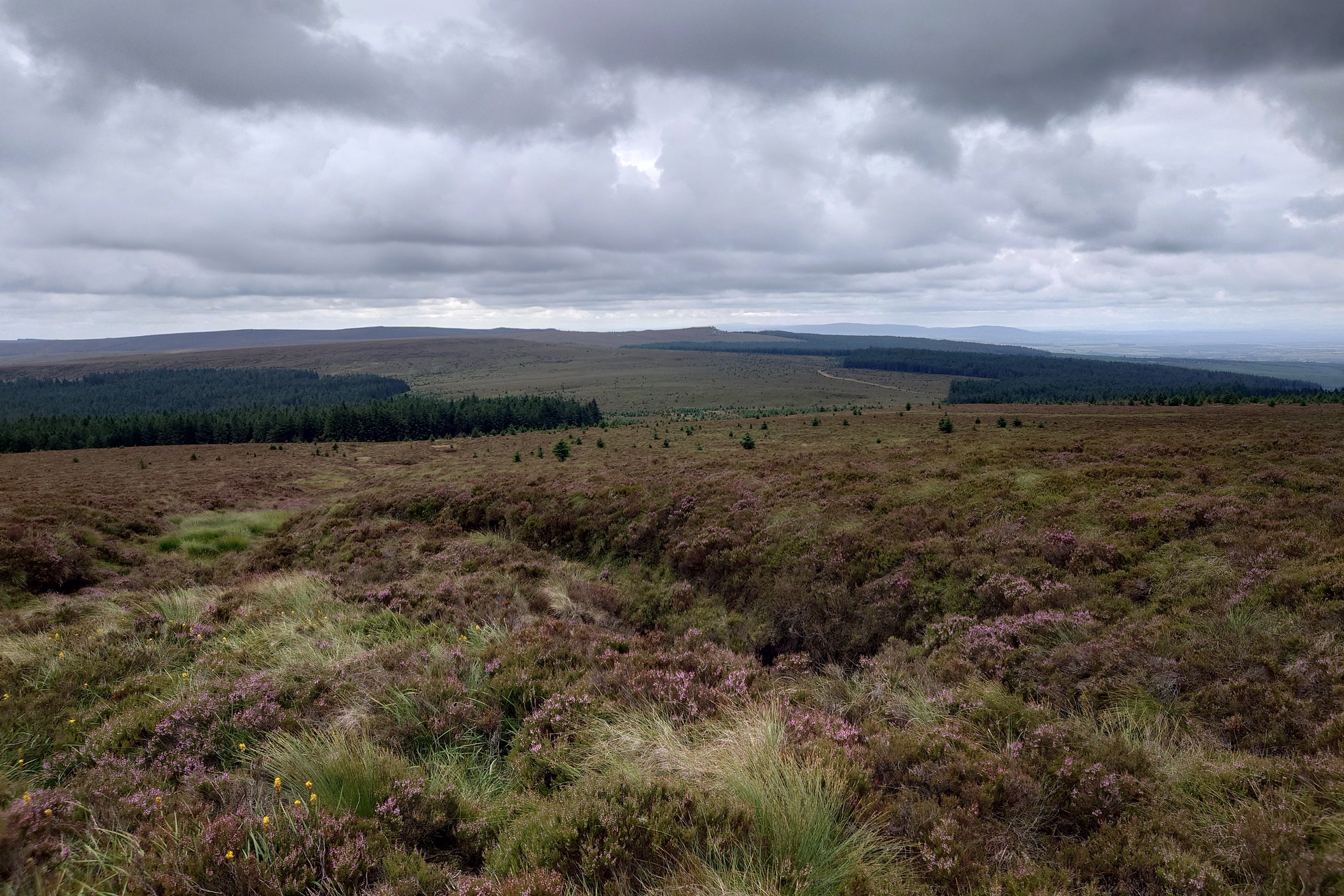 |
It all looked very, very far away. Turning in the other direction I could see a massive rainstorm approaching, so I made an executive descision to go in the other direction, to the closest forestry road, which would take me a lot closer to Christianbury Crags and avoid several gruelling kms of rough heather and bog in the rain.. unfortunately this meant I missed the most remote point in England, but I did get to within 1km of it before turning back. I reached the forest track just as it started absolutely pouring it down. Under the shelter of a tree, I was happy to have made the correct decision!
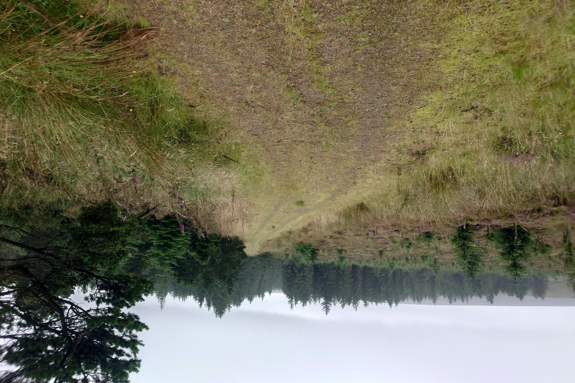 |
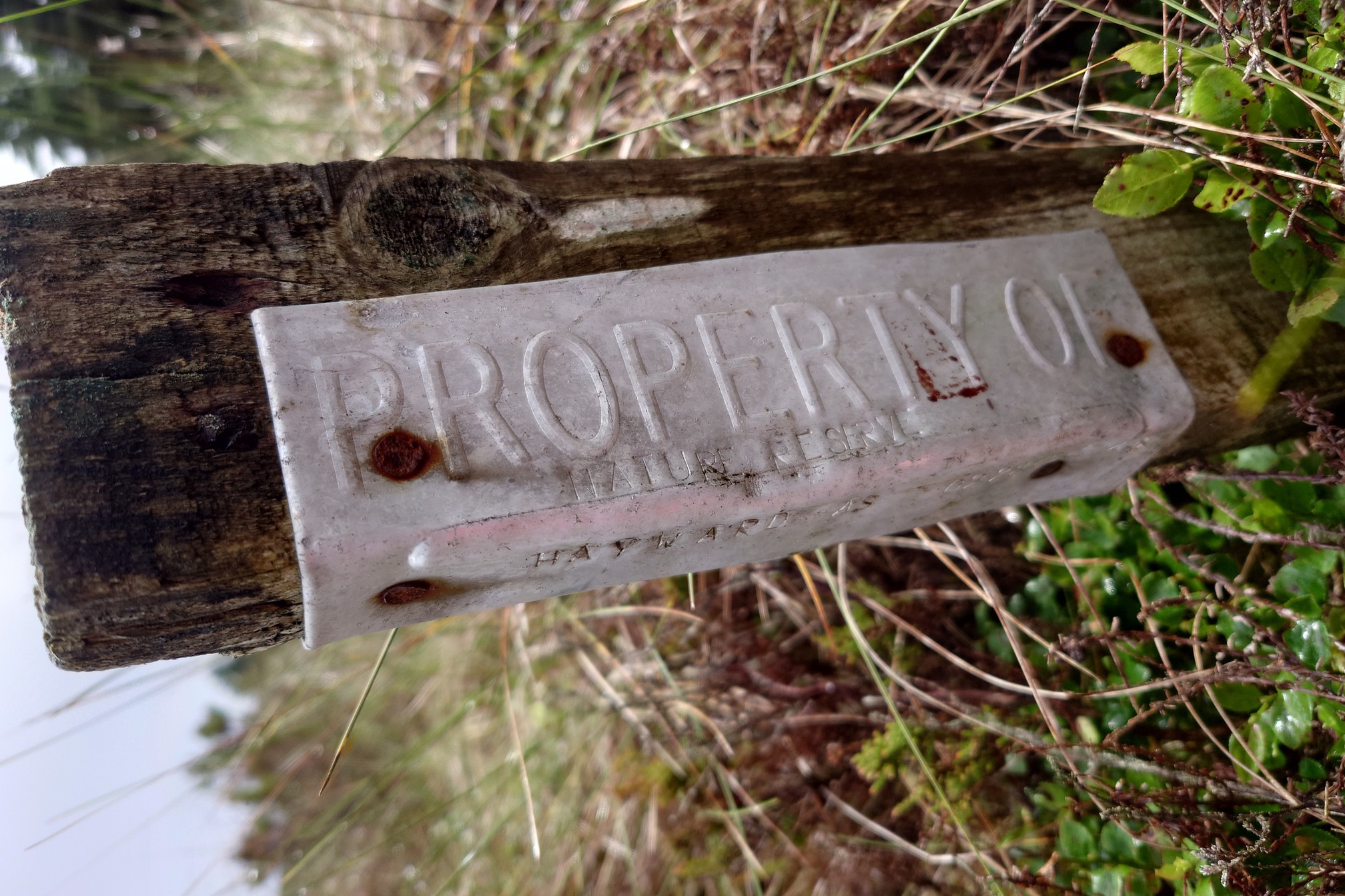
I made excellent pace on the track. It ended abruptly, and I headed into the heather and clambered over a very deep Peat Hag to find this interesting marker post - I’ve never seen anything like this before.
 |
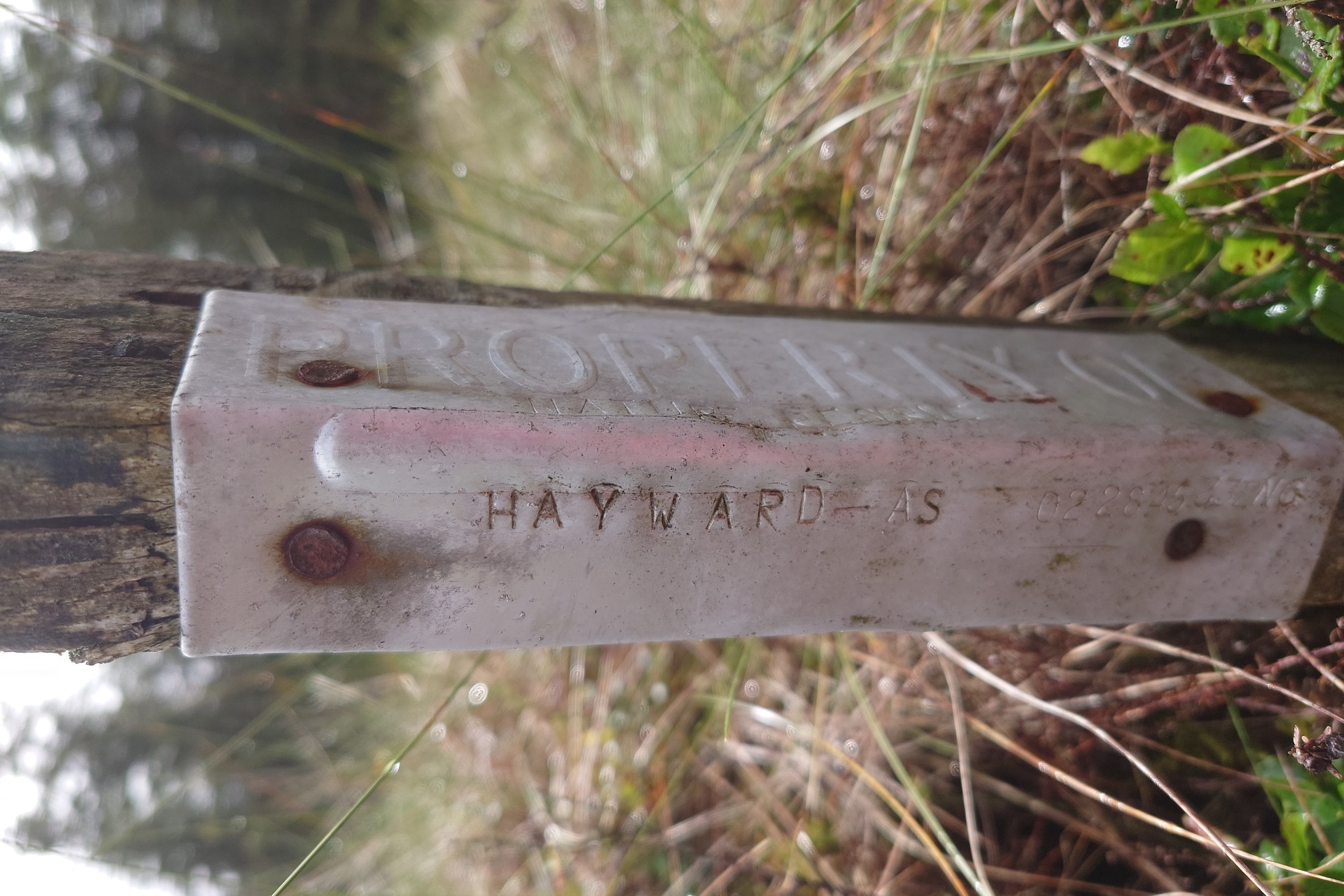 |
There’s no nature reserve here, it’s all Forestry Commission I think. Up ahead, I could see the three sets of crags, Beckhead, Casey, and Christianbury crags. It was more very difficult going through the heather.
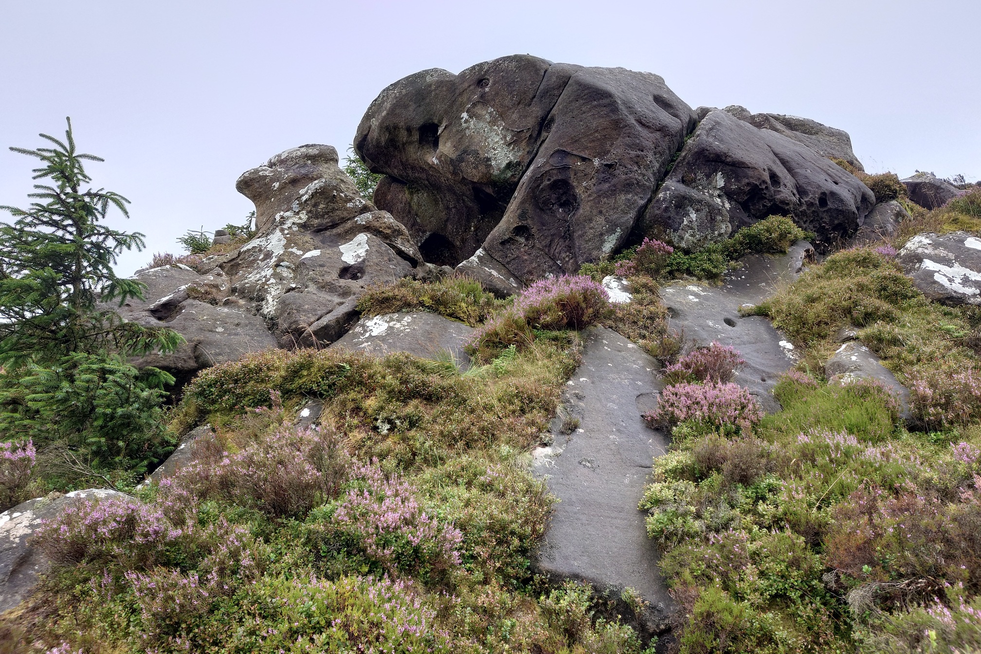 |
| Beckhead Crags |
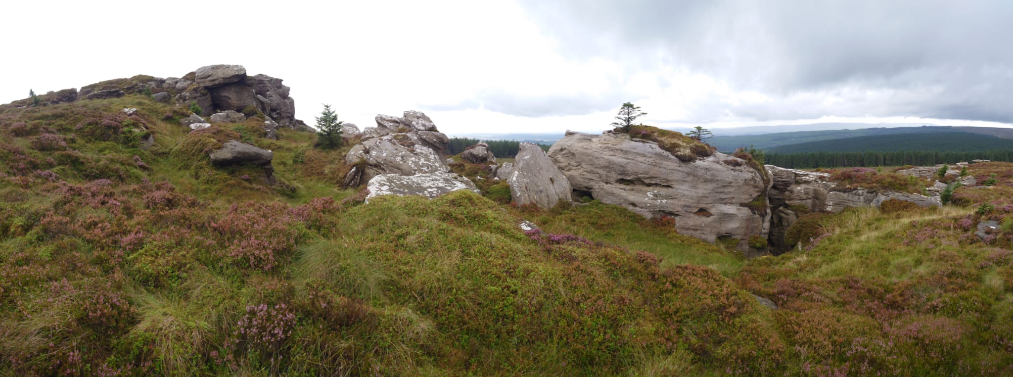
No photo of Casey Crag as it was pouring at the point, but at each outcrop I could stop and have a nice rest. Eventually I got to Christianbury Crags, which are fairly well known as they are pretty dramatic, a jumble of weathered shapes.
 |
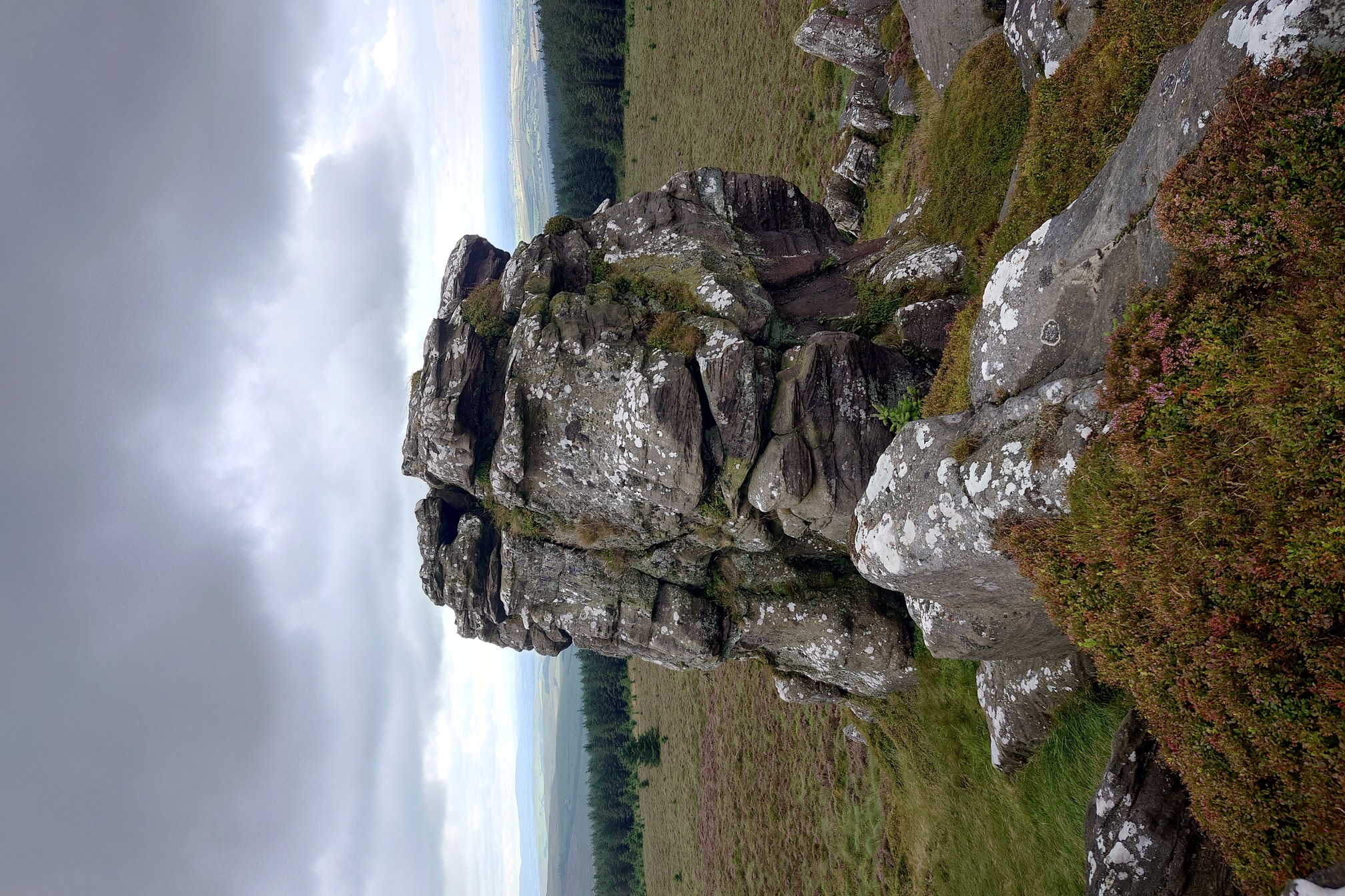 |
What a great spot! On clear days apparently you can see the Solway, but today I only had the Cumbrian Mountains on the horizon to look at. Walking along the outcrop I came to the next feautre - the Galwegian Fosse, a linear ditch about 4m wide that runs from here in a very straight line south west for about 1.4km.
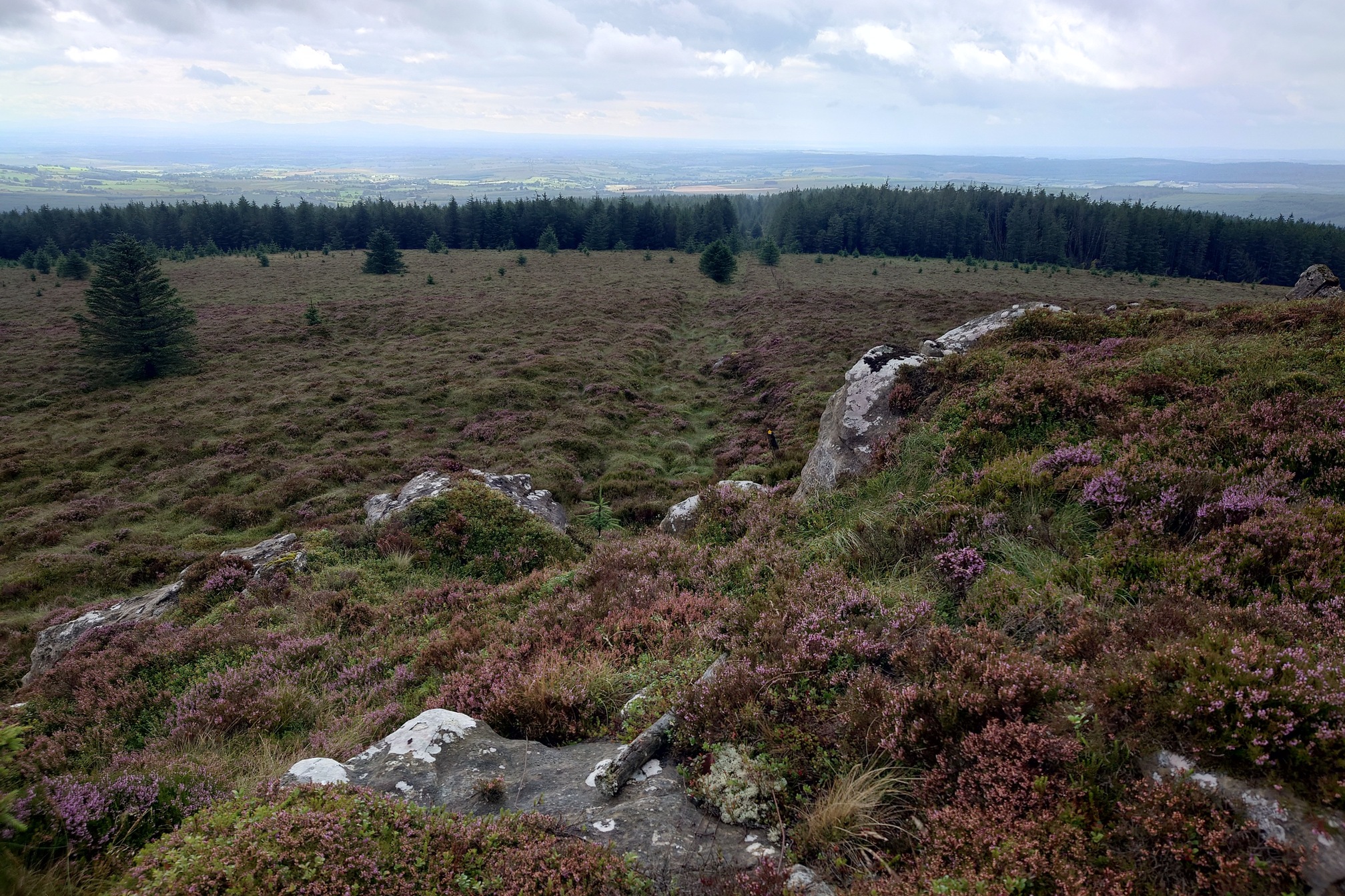 |
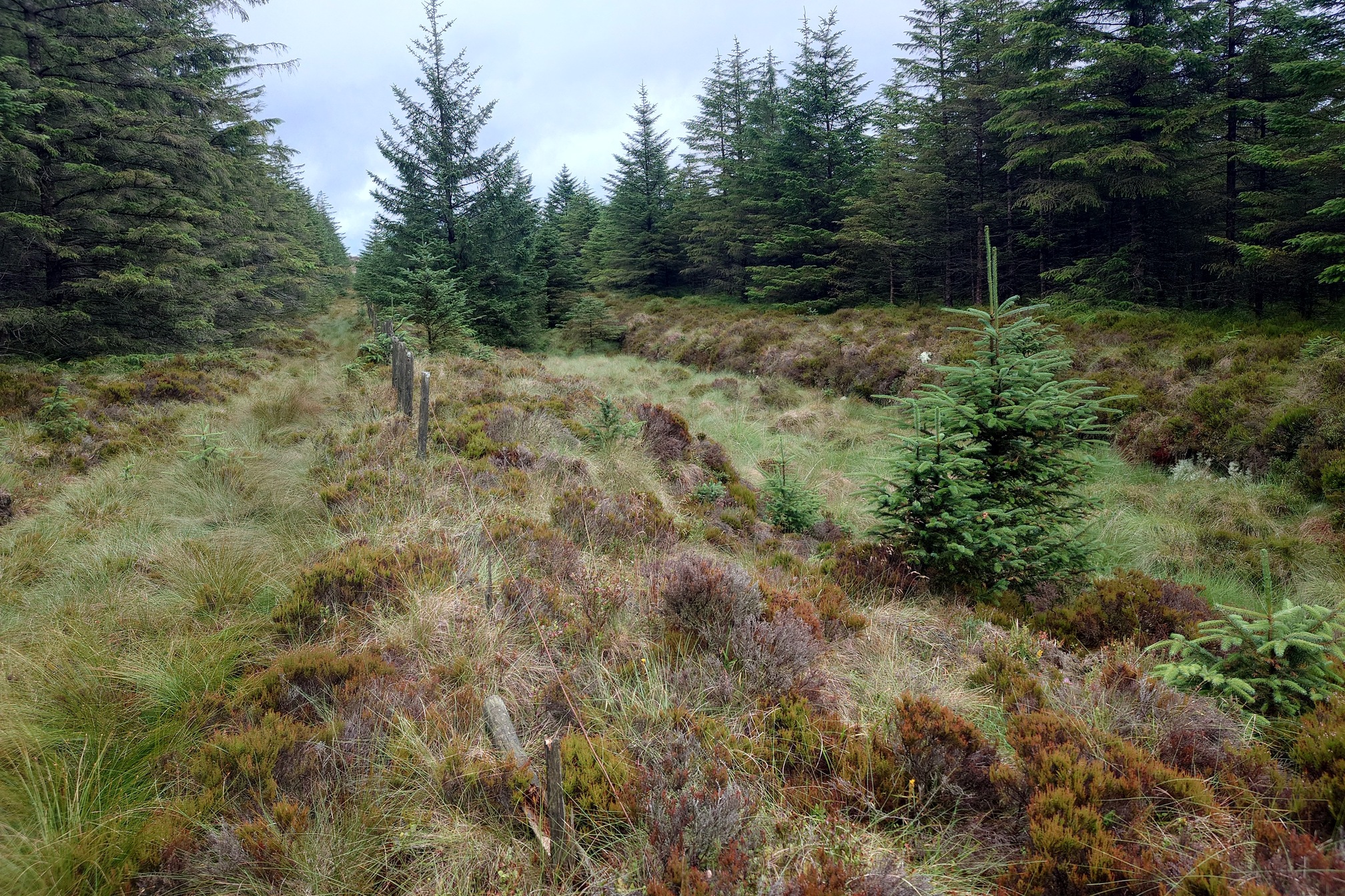
The public footpath follows the ditch, which forms the boundary of the Forestry Commission land and an old fence line runs alongside it. I was suprised at the scale of the ditch, dead straight and broad. Who made it and why? It also felt very good to walk on a nice path after so much difficult heather bog!
 |
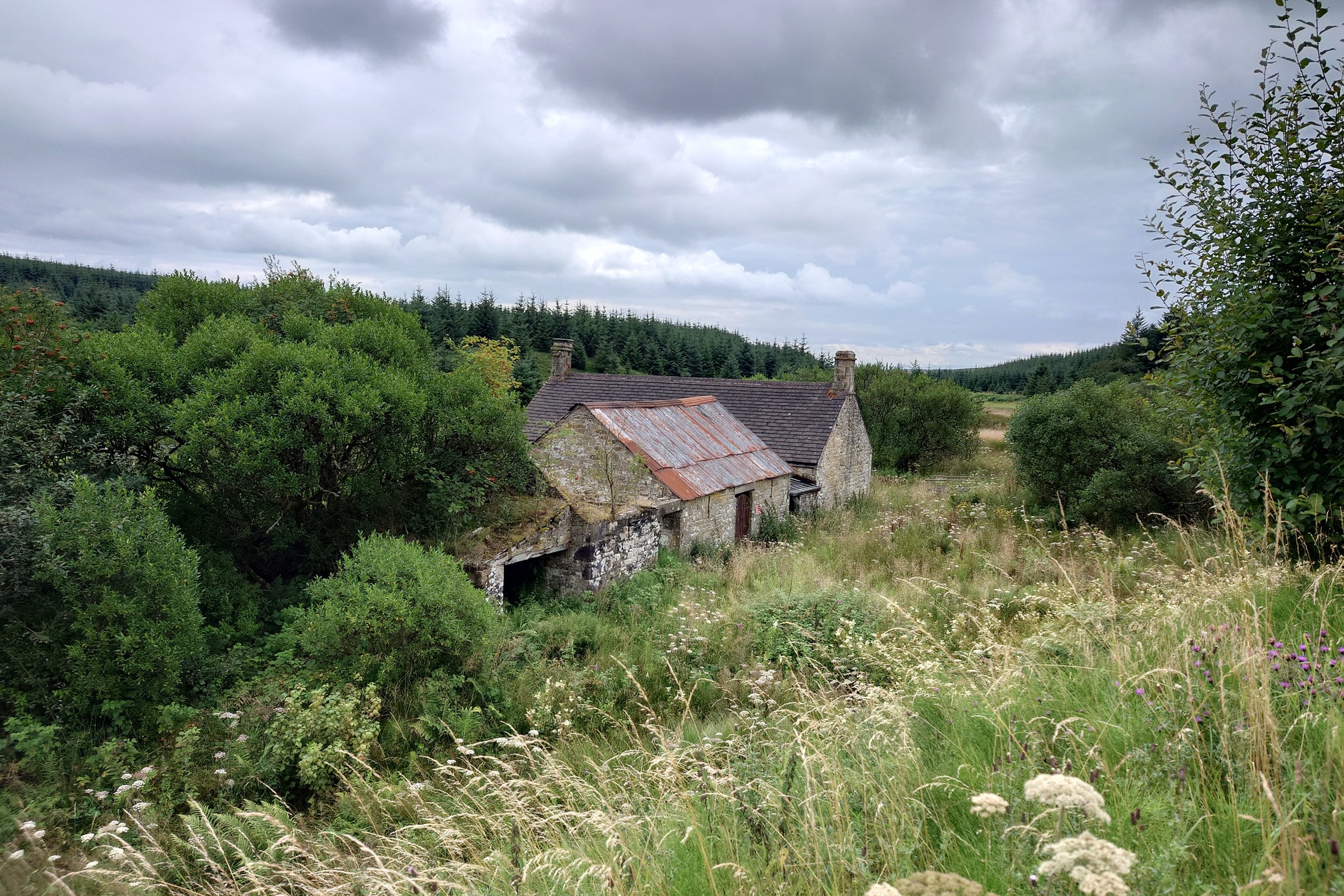
Eventually it petered out and was replaced by a sturdy dry stone wall, where the path took a right turn back into the forest to eventually join back up with the forest roads. I took a small detour to the site of Kettle Hall, where Thomas Davidson lived, but there was nothing there now except a pile of stones hidden in the grass. I also passed Blacklyne House, now a scout hut and bristling with CCTV.
 |
I made it out of Kershope Forest alive, although knackered. I think I might need to plan another walk (or just hire a bike) to get to the remote spot from Kielder next time. The whole walk was 25km and a great mix of easy forest tracks and extremely tough and exhausting moorland.
| Map of route taken |