Scotways publish Scottish Hill Tracks, a hefty book listing hundreds of tracks and routes across Scotland, often following ancient routes through mountainous terrain. It’s a great way to find relatively easy to follow but challenging long walks.
Route 137 runs from Bridge of Orchy to Bridge of Awe, and from there a few more kms to Taynuilt, which has a railway station. I parked at Crianlarich and took the train to Bridge of Orchy, slightly confused as the train splits here, with half going to Mallaig and half going to Oban. Alighting at Bridge of Orchy, the conductor asked me if I had my midge net, then as the doors opened and felt the cooler air, said “ah it might not be so bad”.
The route followed the West Highland Way for the first 6km, passing several groups of cheeful Dutch and German hikers, as well as the few younug men in jeans and trainers struggling with massive rucksacks.
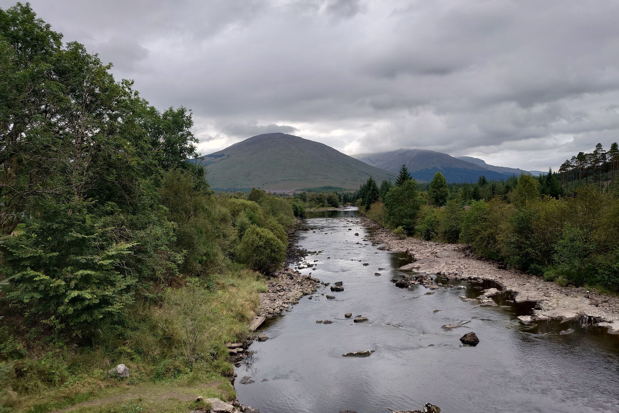
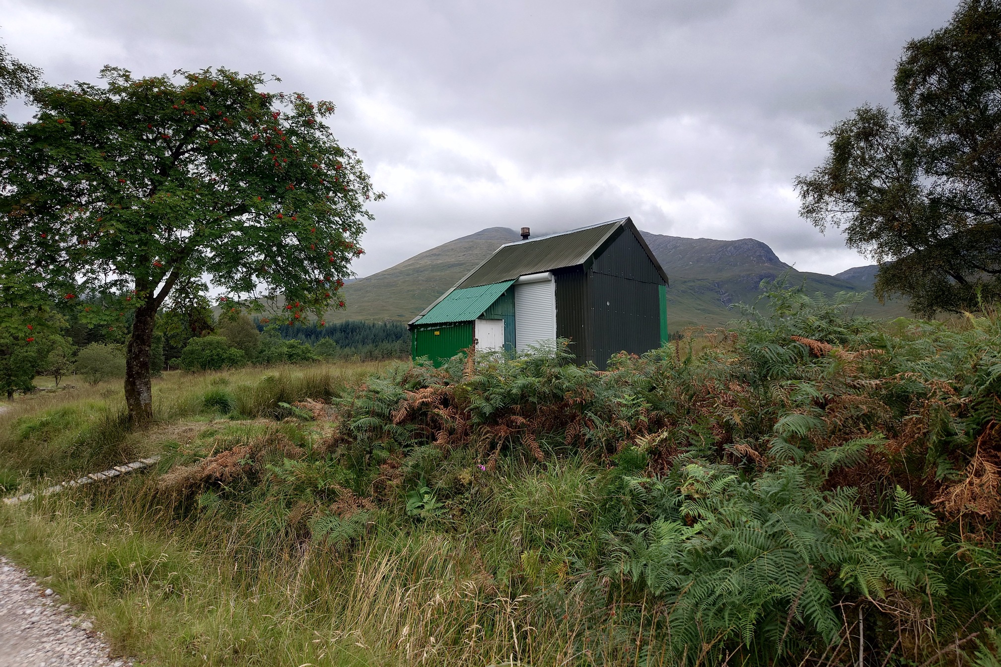
At Victoria Bridge I turned to follow the Abhainn Shira into the Clashgour Estate, passing Glasgow Uni (I think) Climbing’s Clashgour hut, where I stopped for lunch. This used to be the school for the Glen.
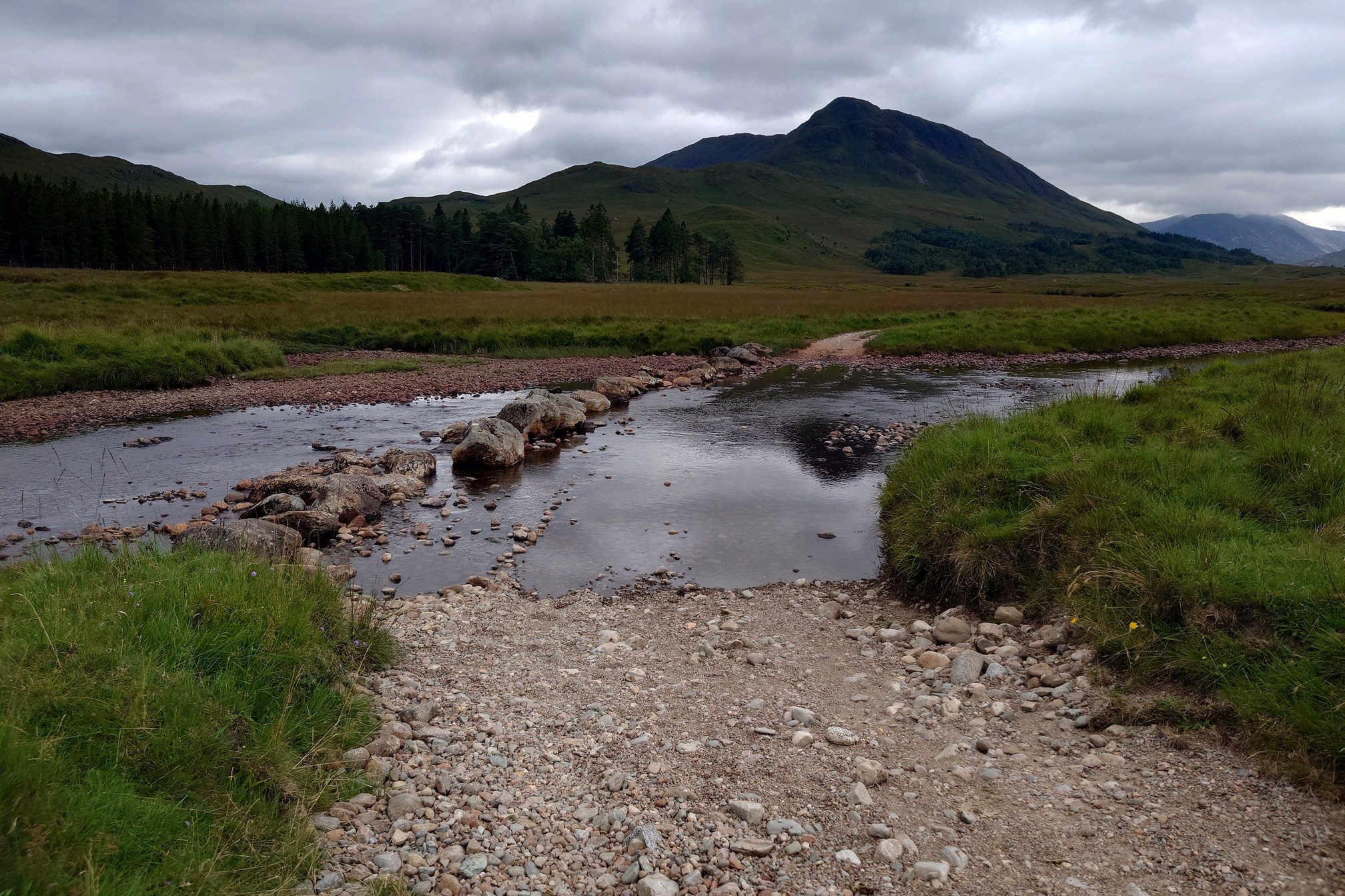
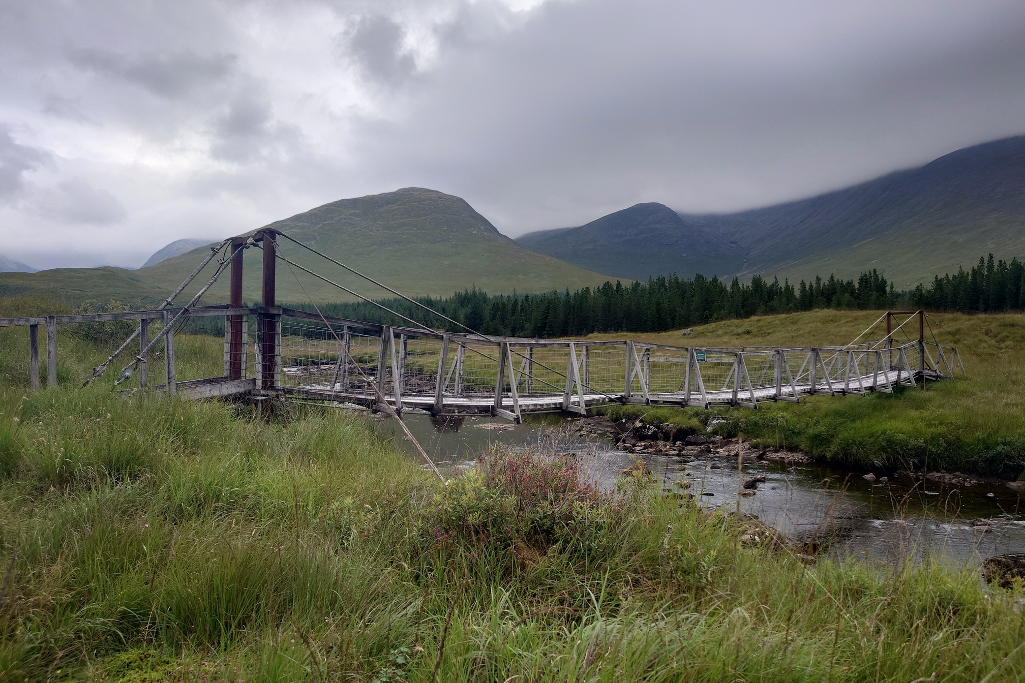
The path followed an easy farm track to a turn off for Clashgour Farm, and then followed the river itself, fording in several places where large boulders made good stepping stones. I arrived on the wrong side to cross the wobbly footbridge however.
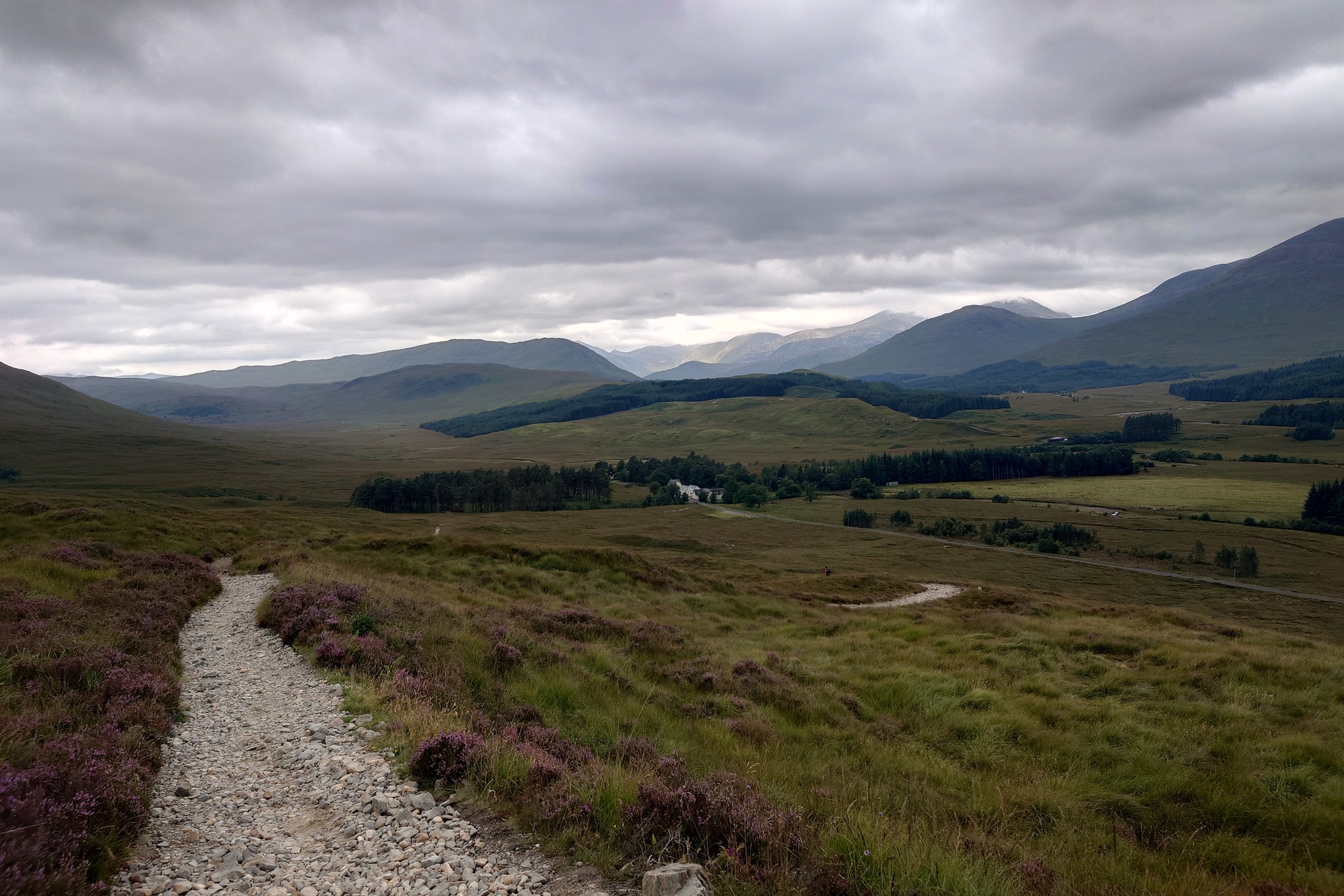
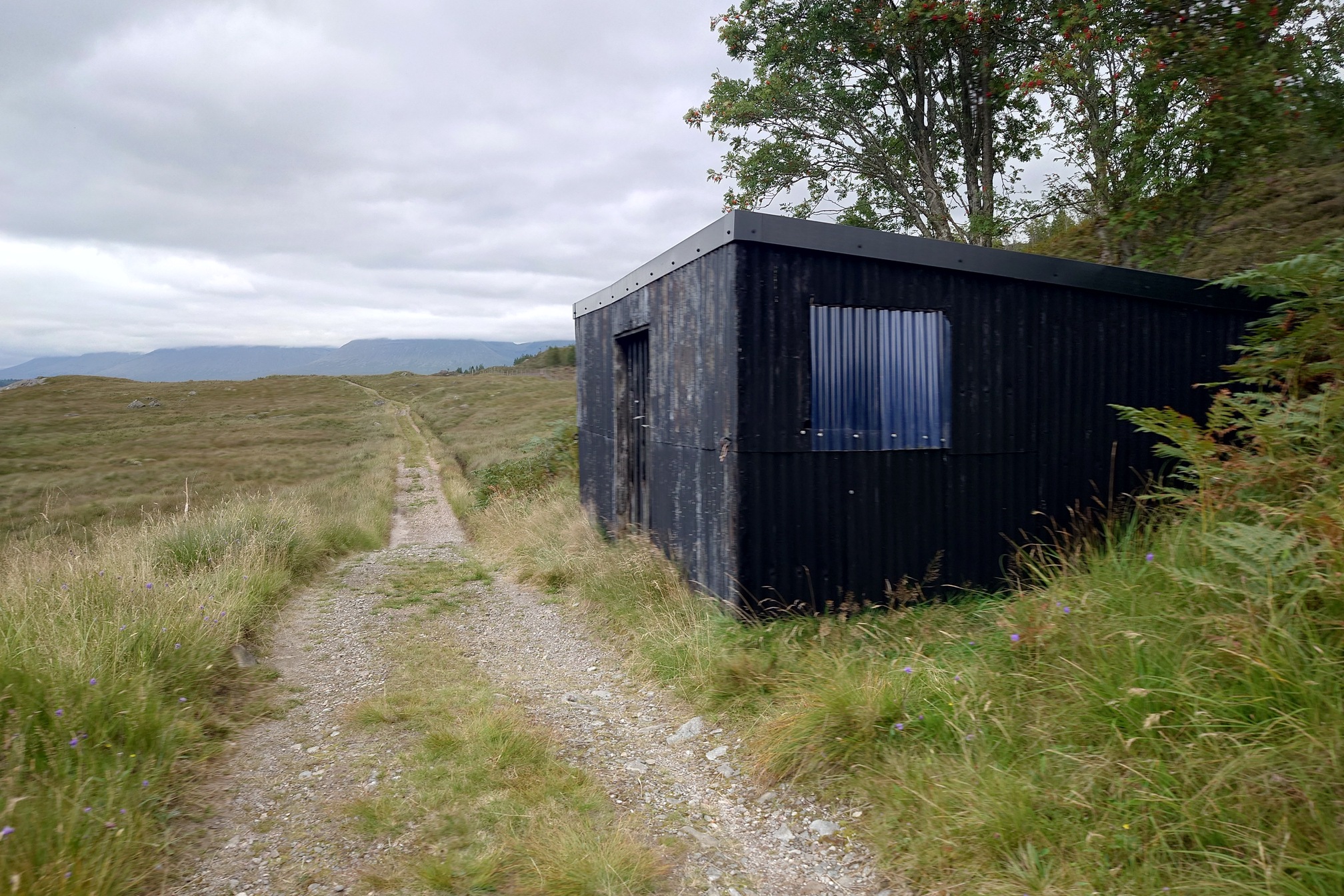
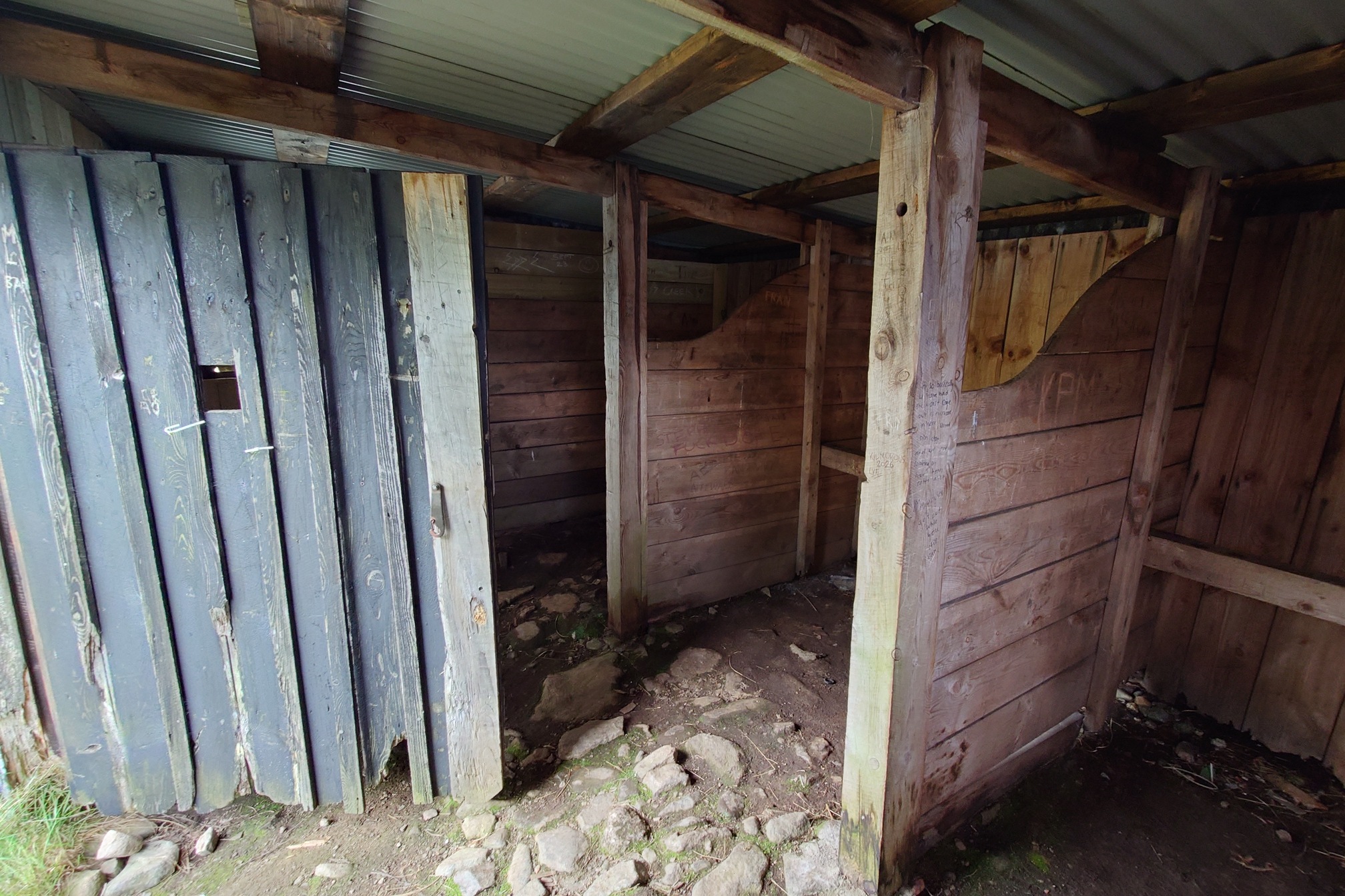
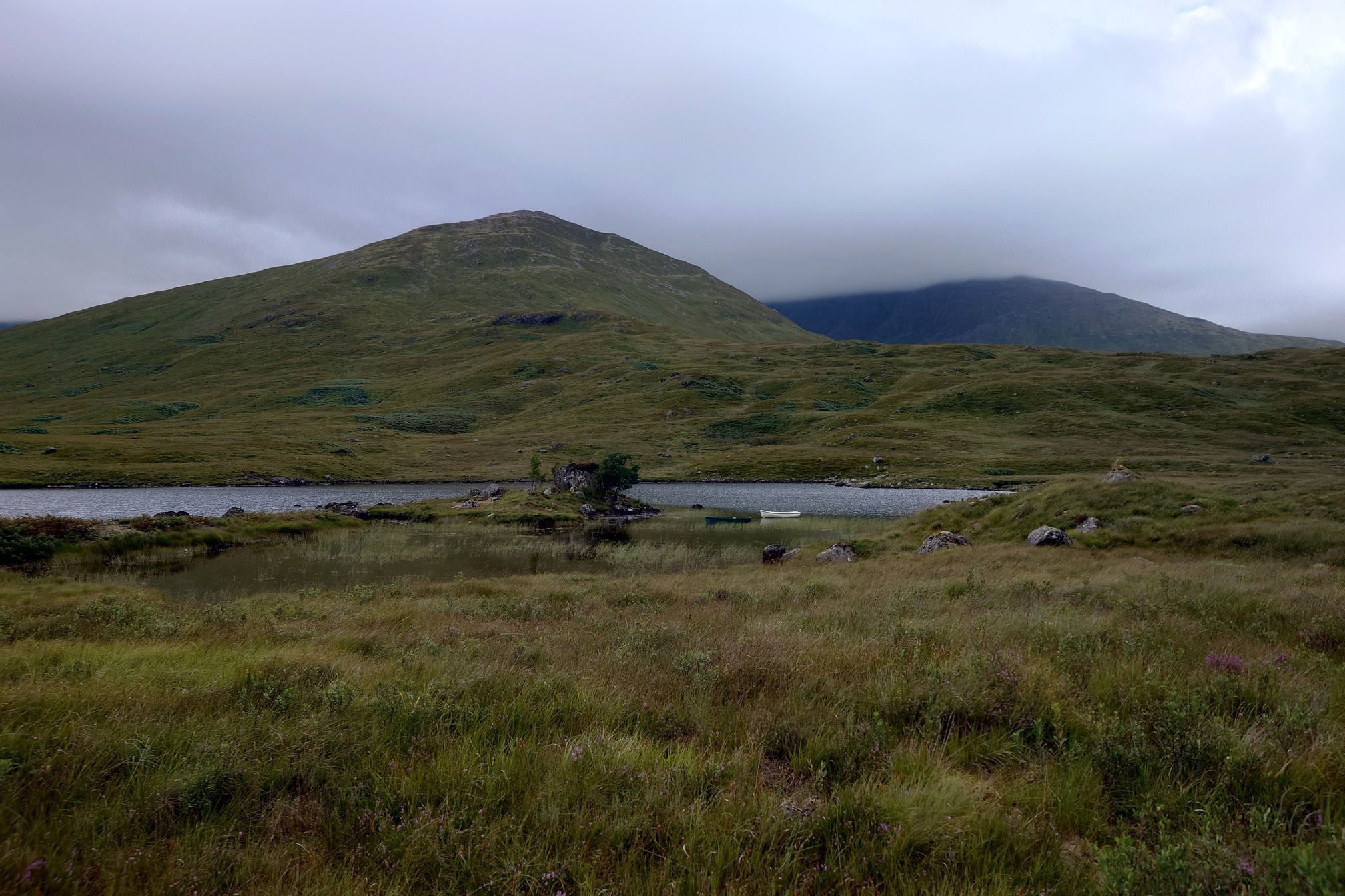
The path climbed gradually up the glen until reaching Loch Dochard. A couple of rowing boats were moored in the loch, with a small plastic building by the road containing pony stalls that were unexpected given that it looked like a bus shelter from the outside.
Pinned up inside was a poster for missing walker Neil Skinner, who was last seen camping on the loch in 2022.
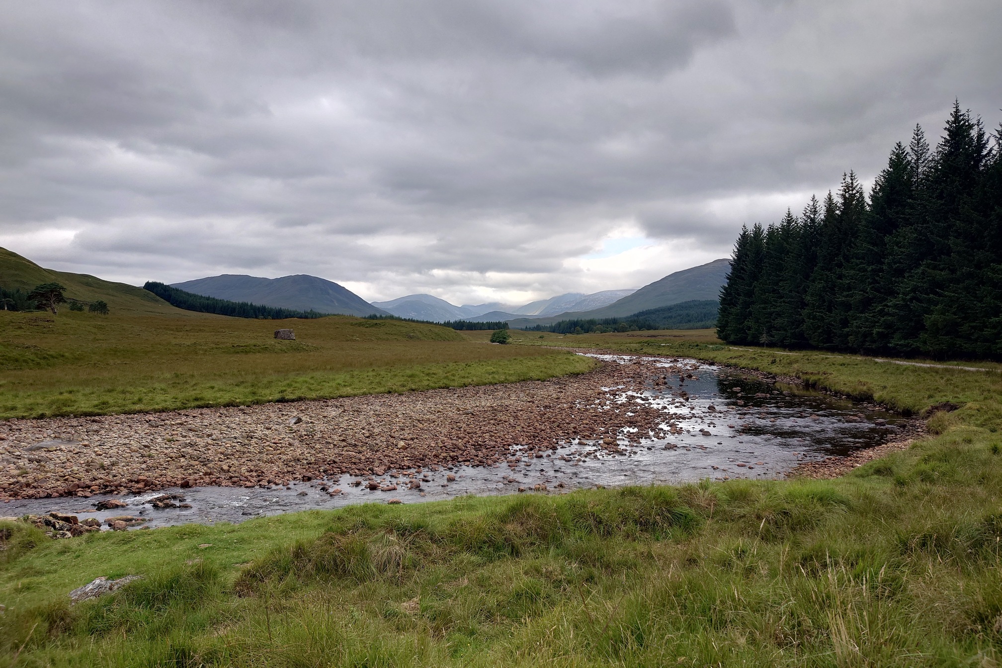
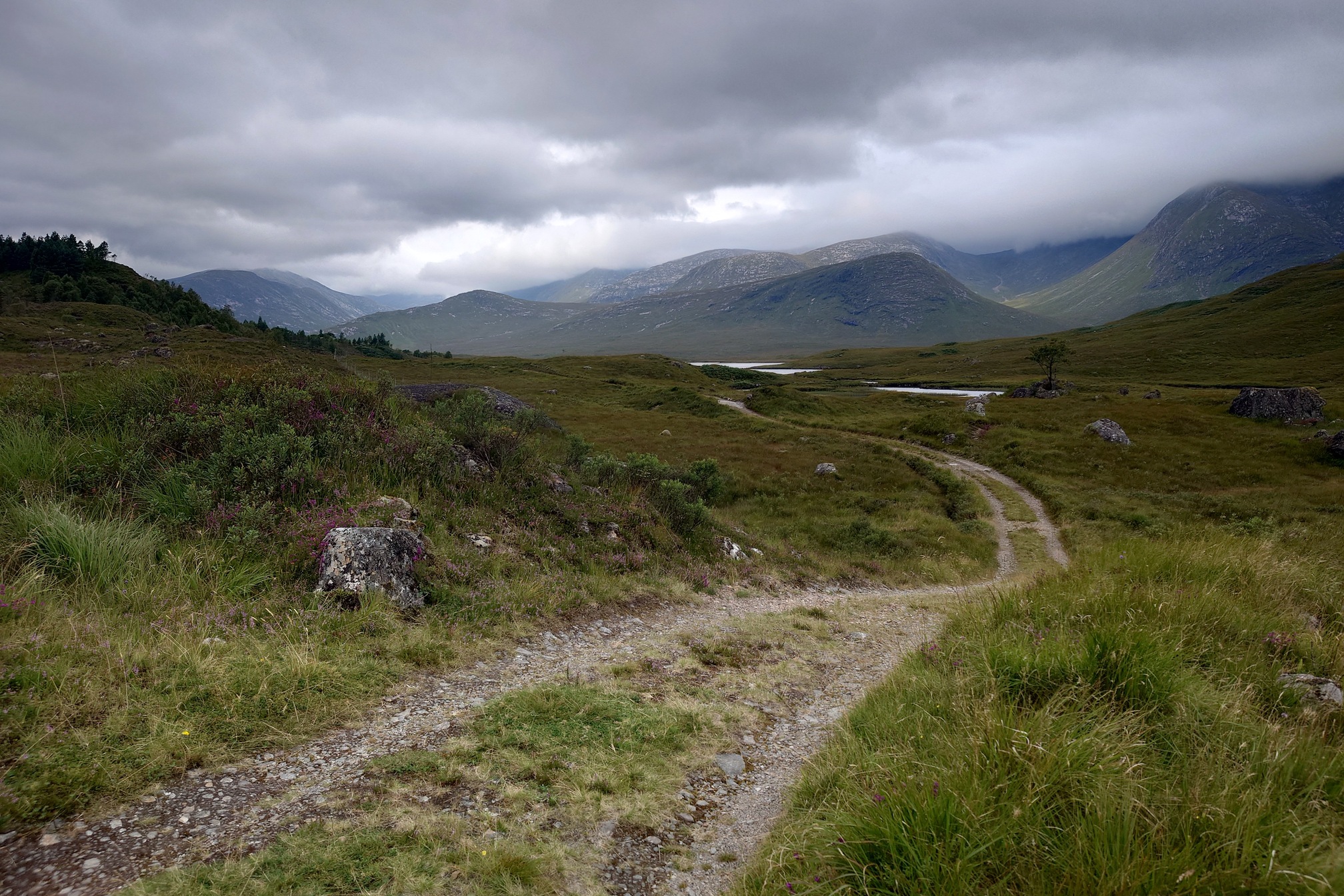
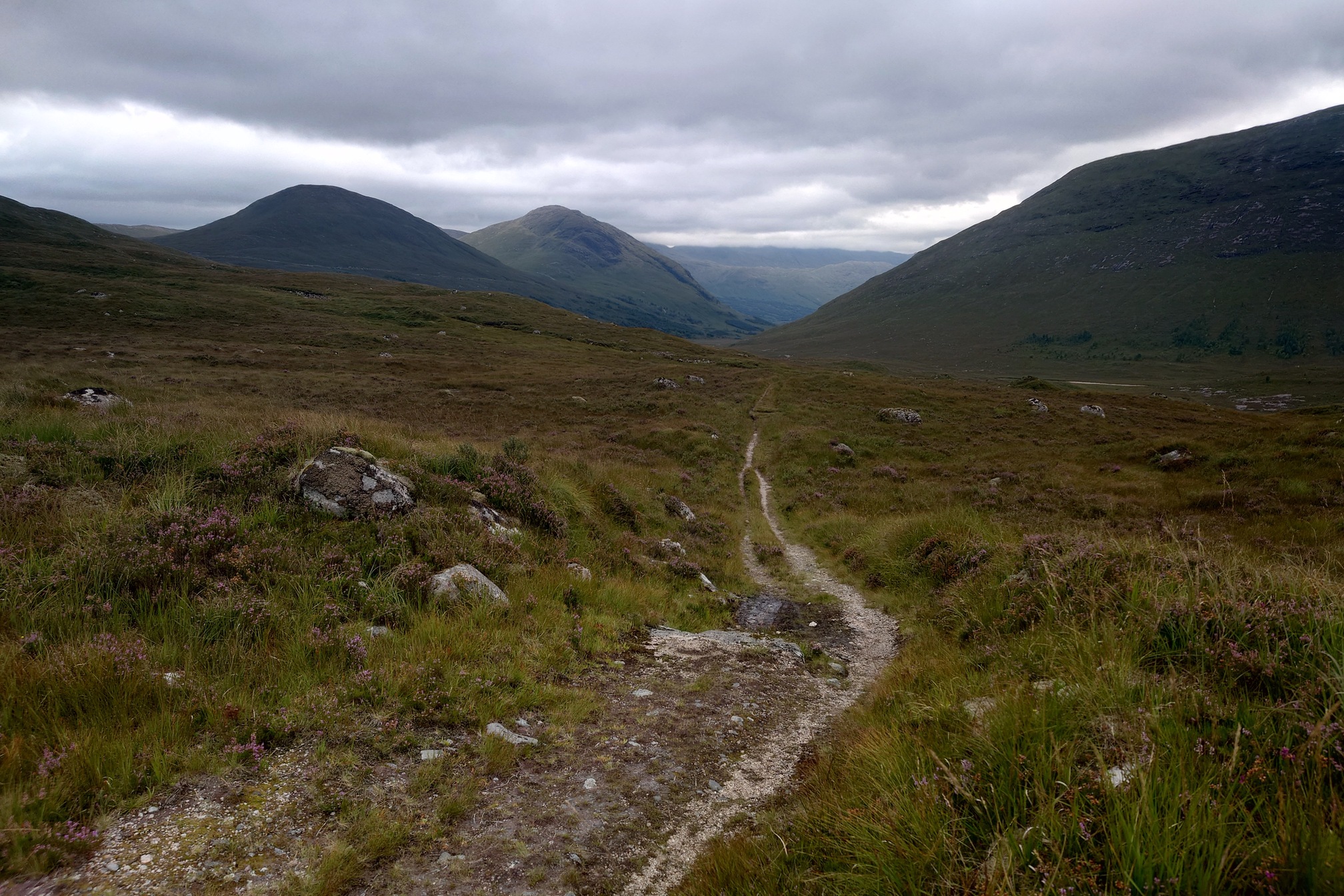
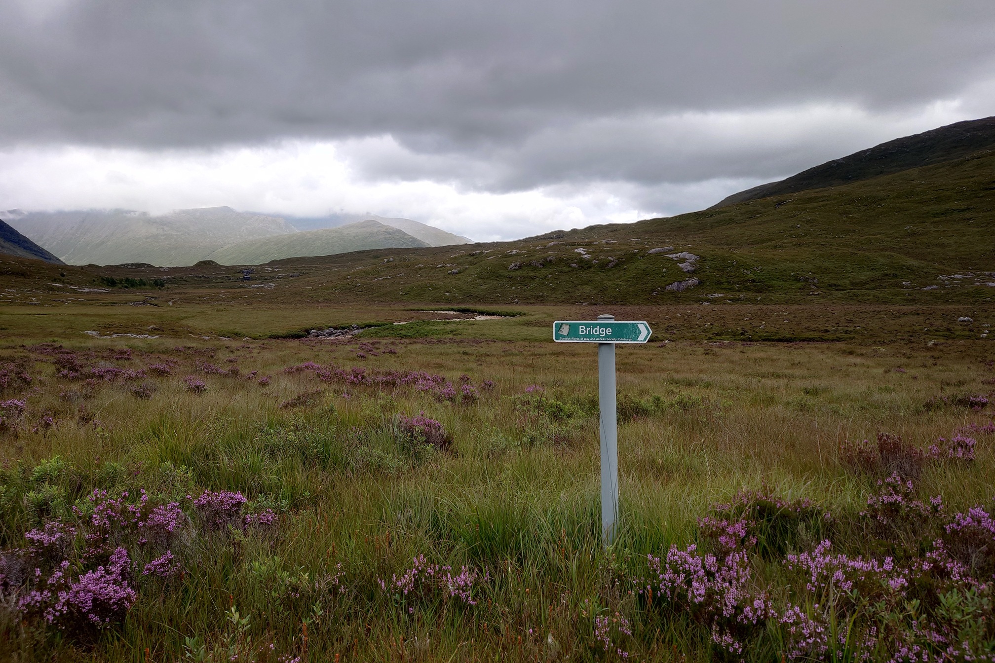
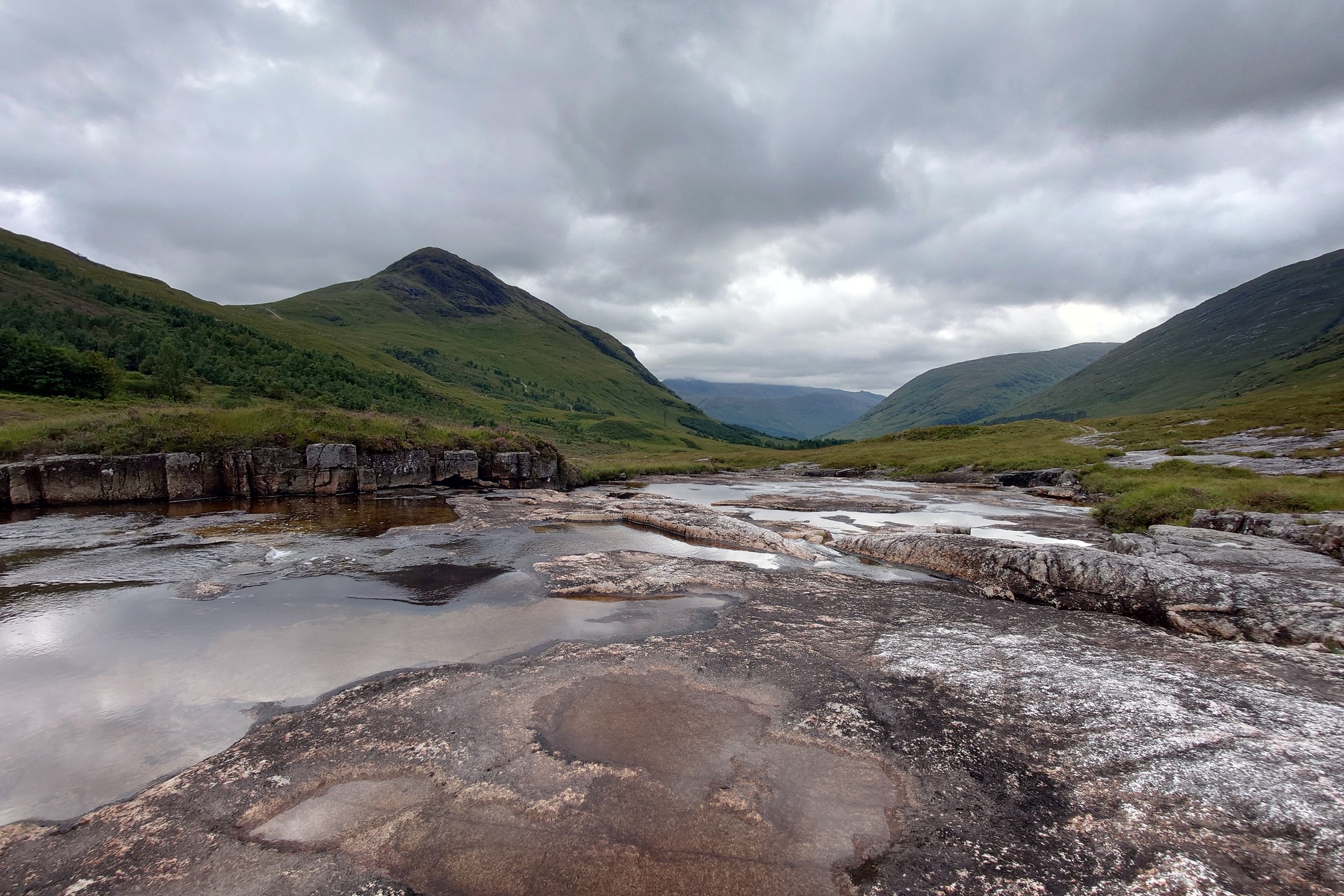
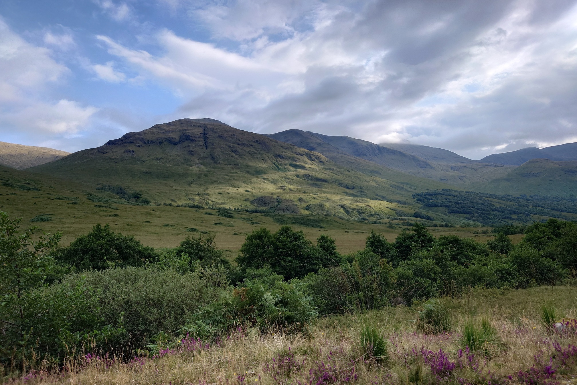
Past Loch Dochard, the track began to descend into Glen Kinglass. The route was still fairly easy going, although there was a missing footbridge at one point but an easy ford over the River Kinglass. Not far after I passed a sign telling me there was a bridge, and then saw a second bridge down over a beautiful looking ravine and waterfalls, which probably would have been nicer to walk over, but never mind.
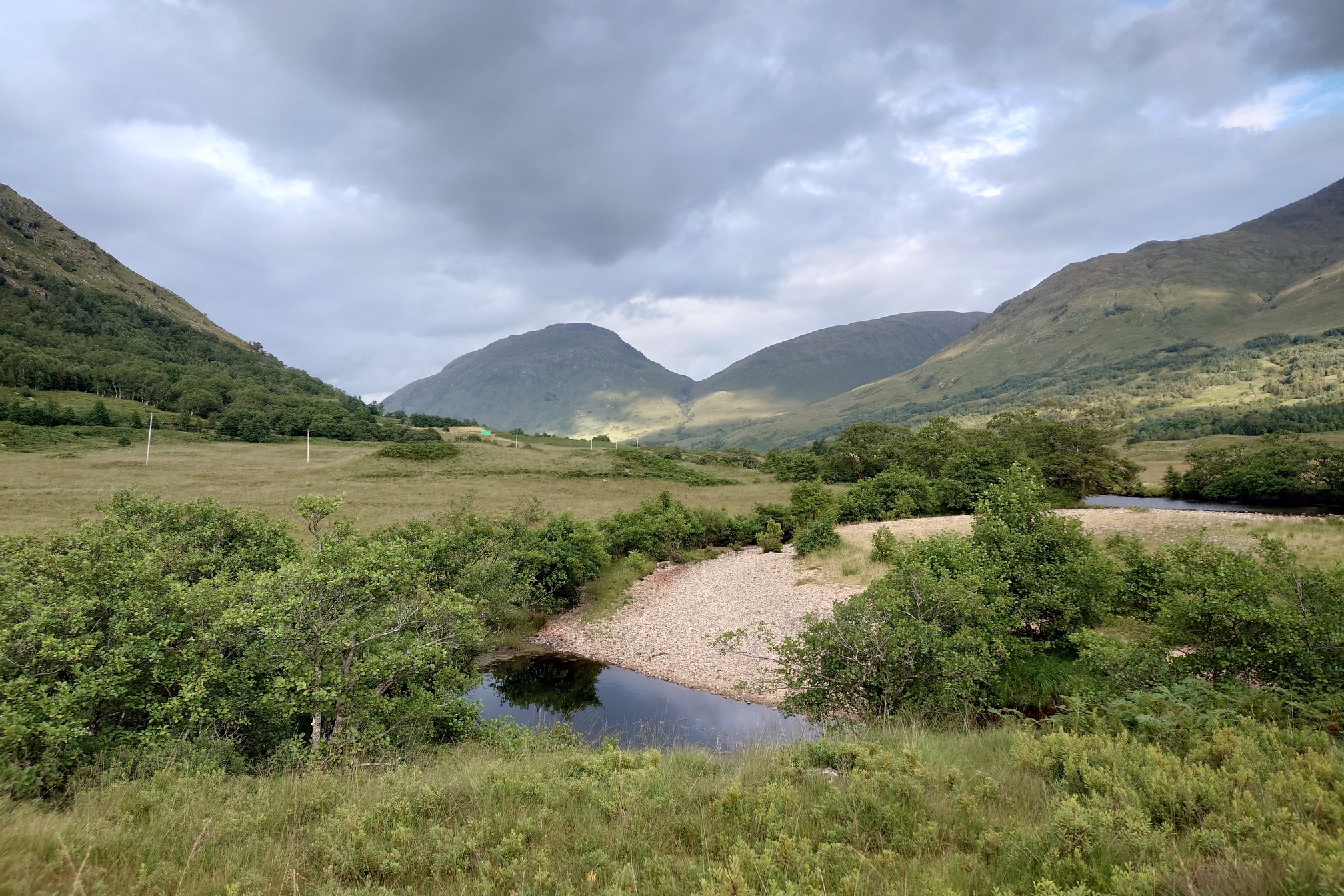
I stopped for a cup of tea at a lovely spot where the river flowed wide over a smooth rock outcrop upstream from Eas a’ Bhinnean. Covered in smidge, the midges weren’t too awful, although they got in my tea a bit. Extra protein.
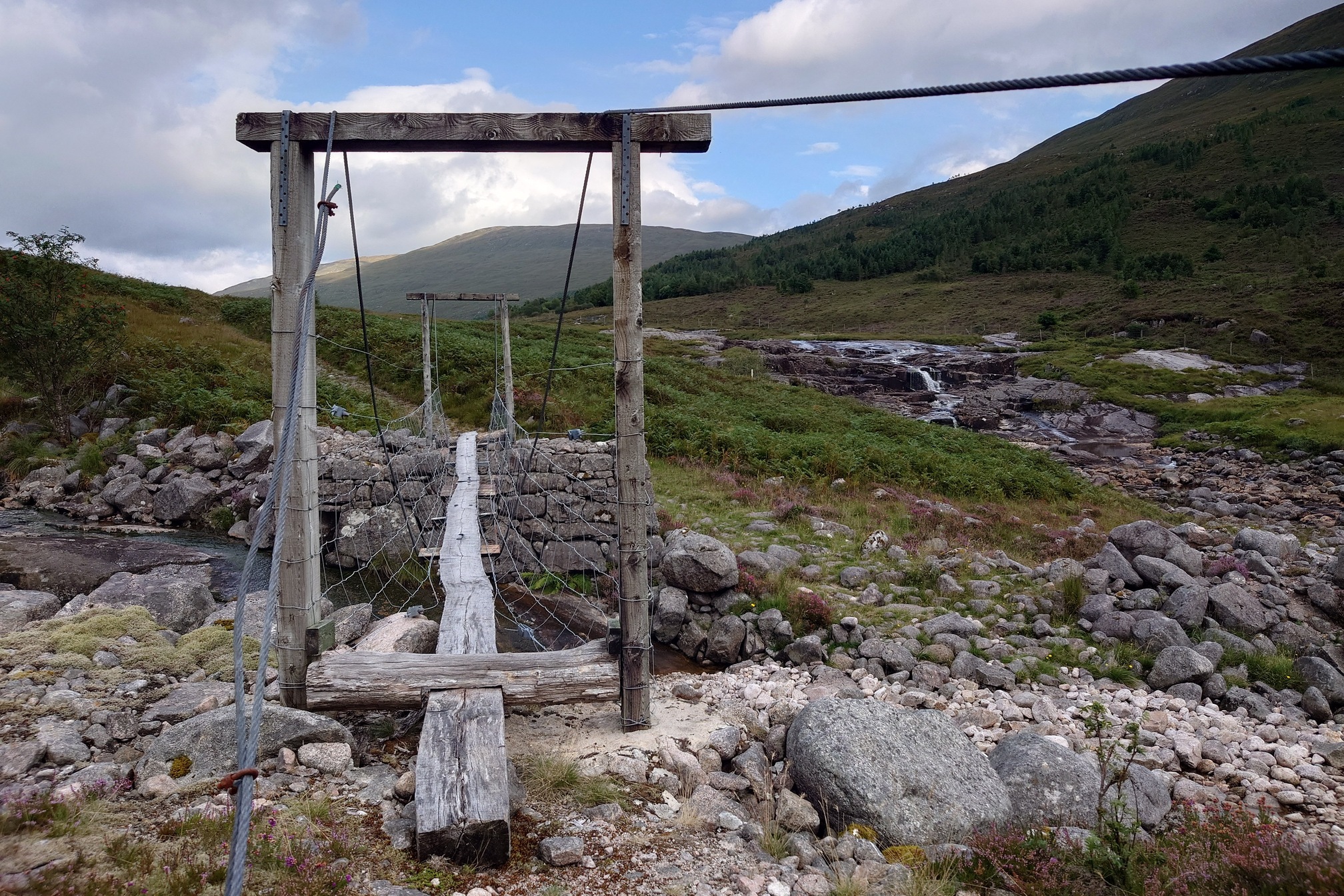
I reached a well-cobbled patch of path through bracken, and then another wobbly footbridge that appeared to be made of a tree and some chicken wire. I’m sure these bridges are very safe but I crossed the Eas a’ Bhinnean by the rocks below instead.
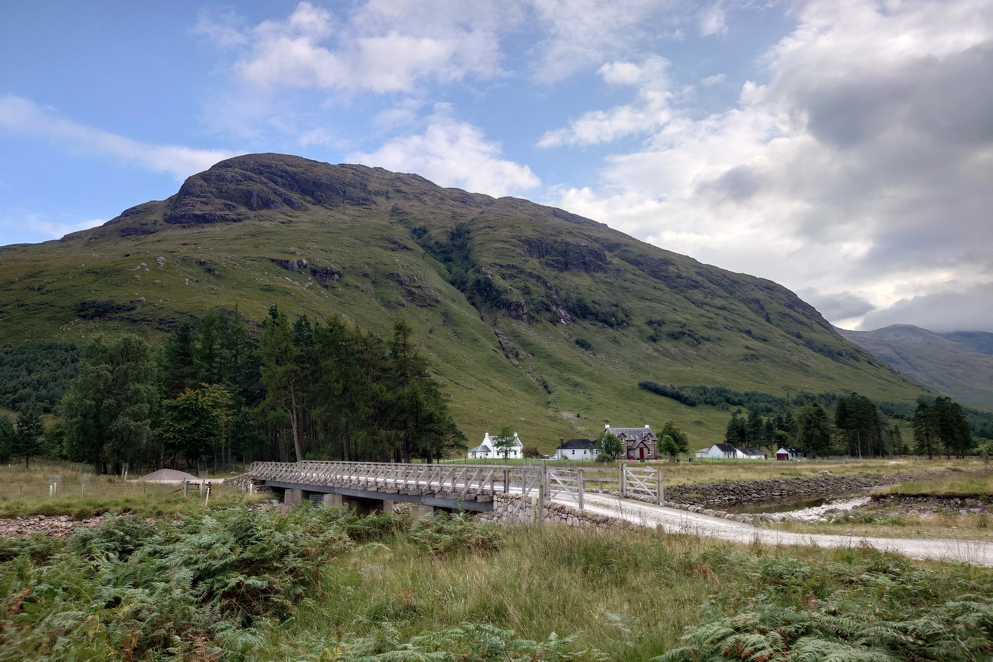
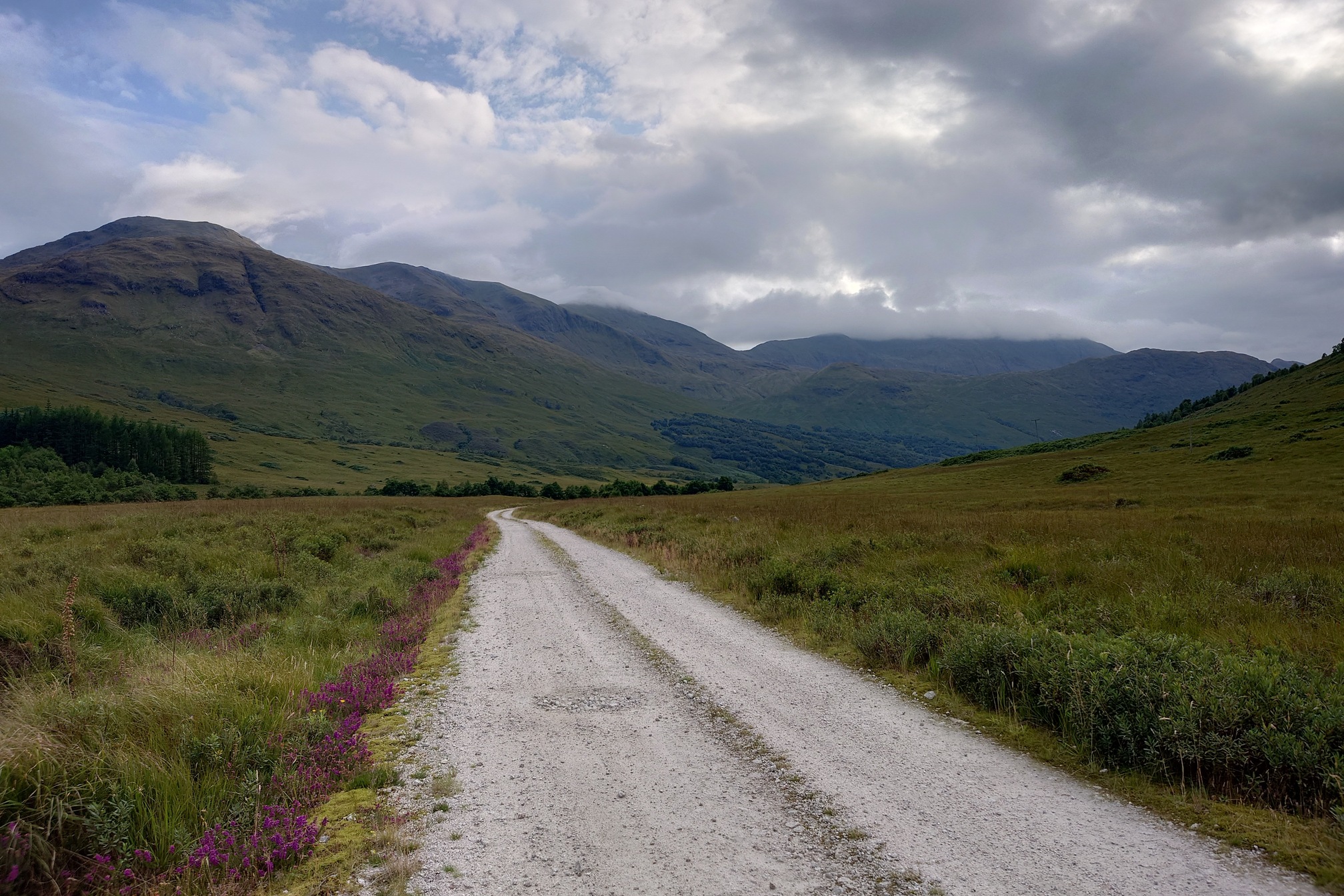
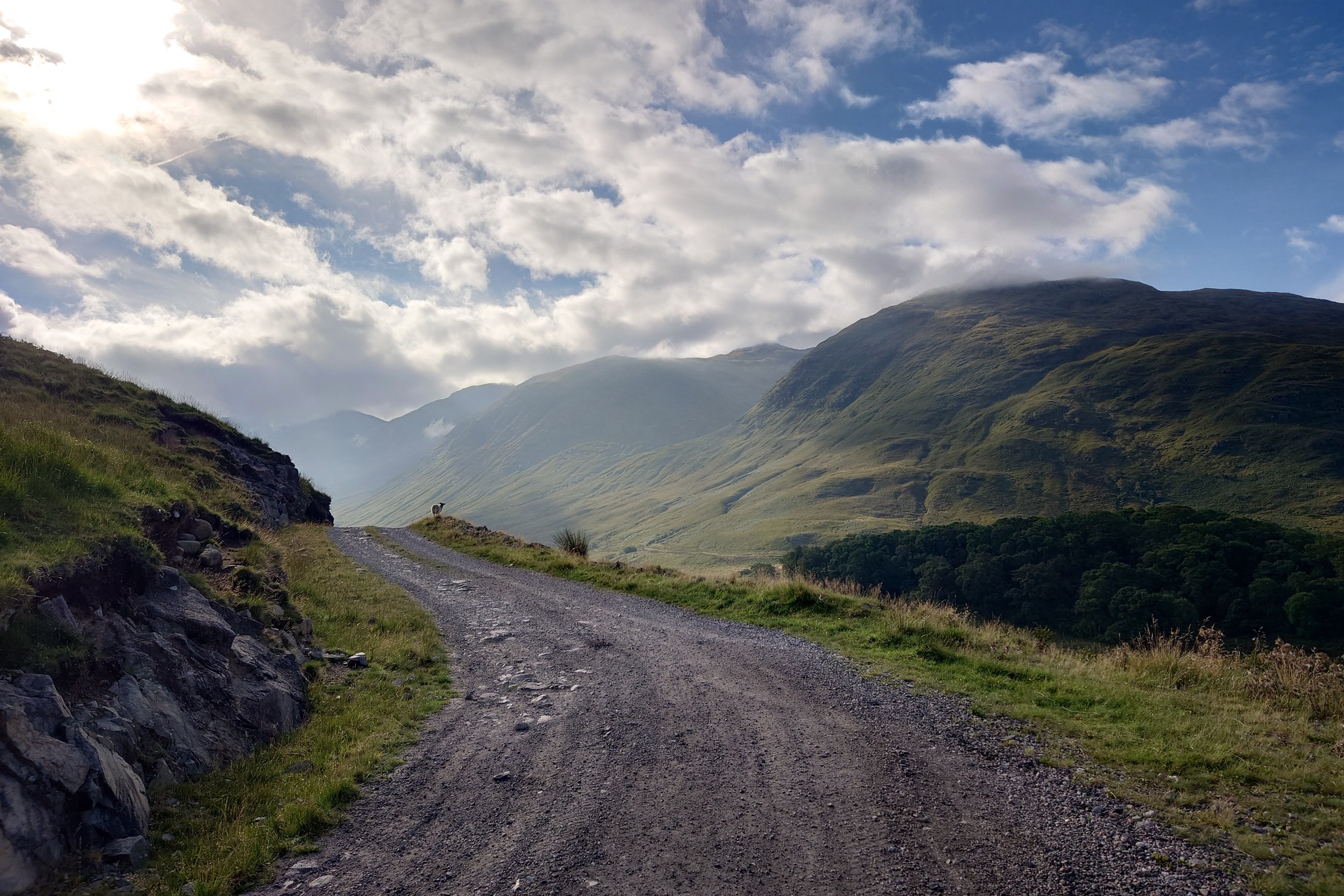
Once I’d reached the Kinglass Lodge, the tracks turned into well-made estate acces roads and broad bridges. Very easy walking, if a bit dull.
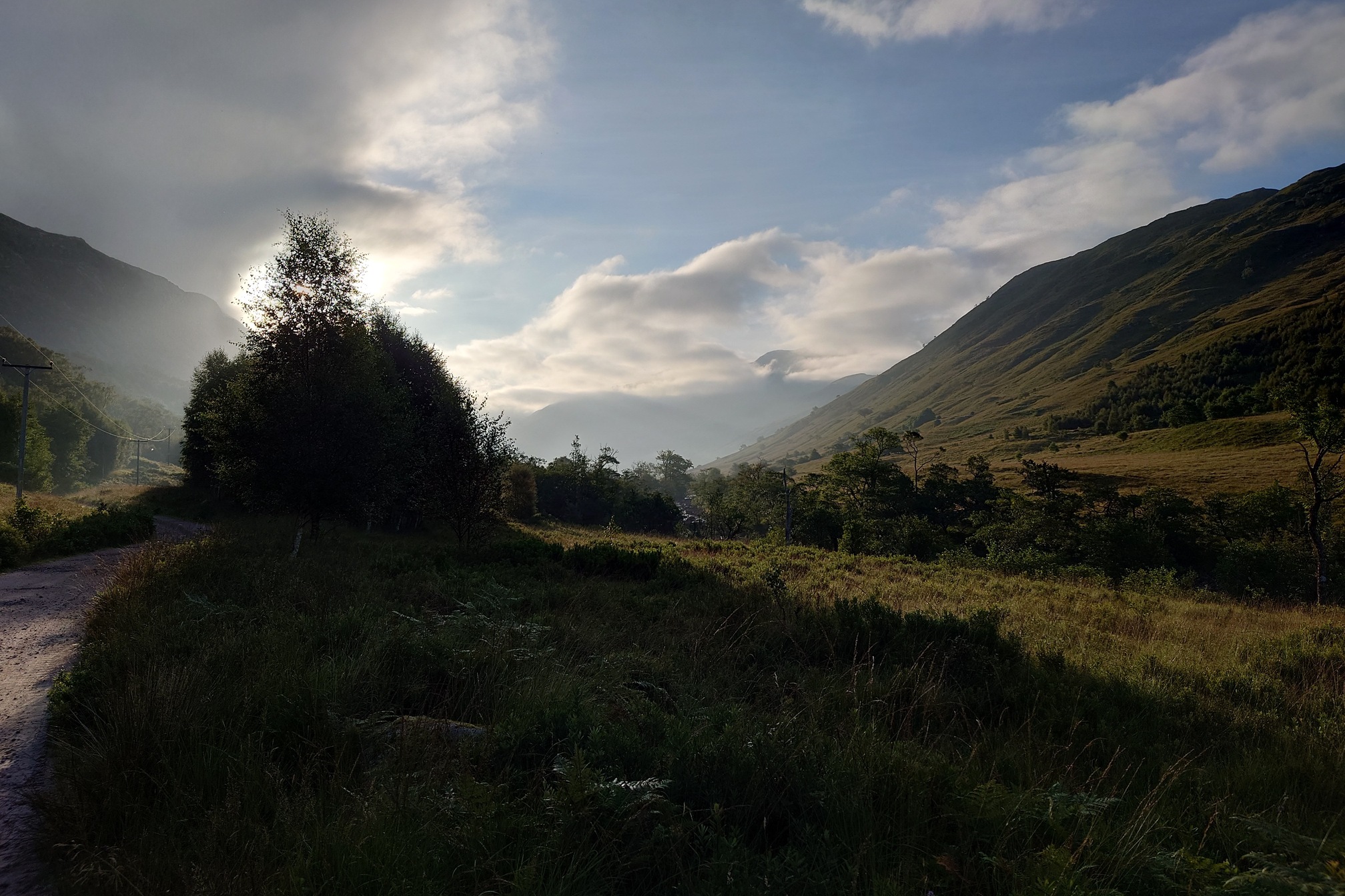
The sun came out as the afternoon wore on, and where I could I walked along the much nicer old road up the glen rather than the new one. A pickup truck stopped, and the driver, an incredibly posh young man all in tweed with a ridiculous moustache, stopped to chat about how beautiful it was. I asked if he worked here, and he said no, his friend was letting him stay at the lodge.
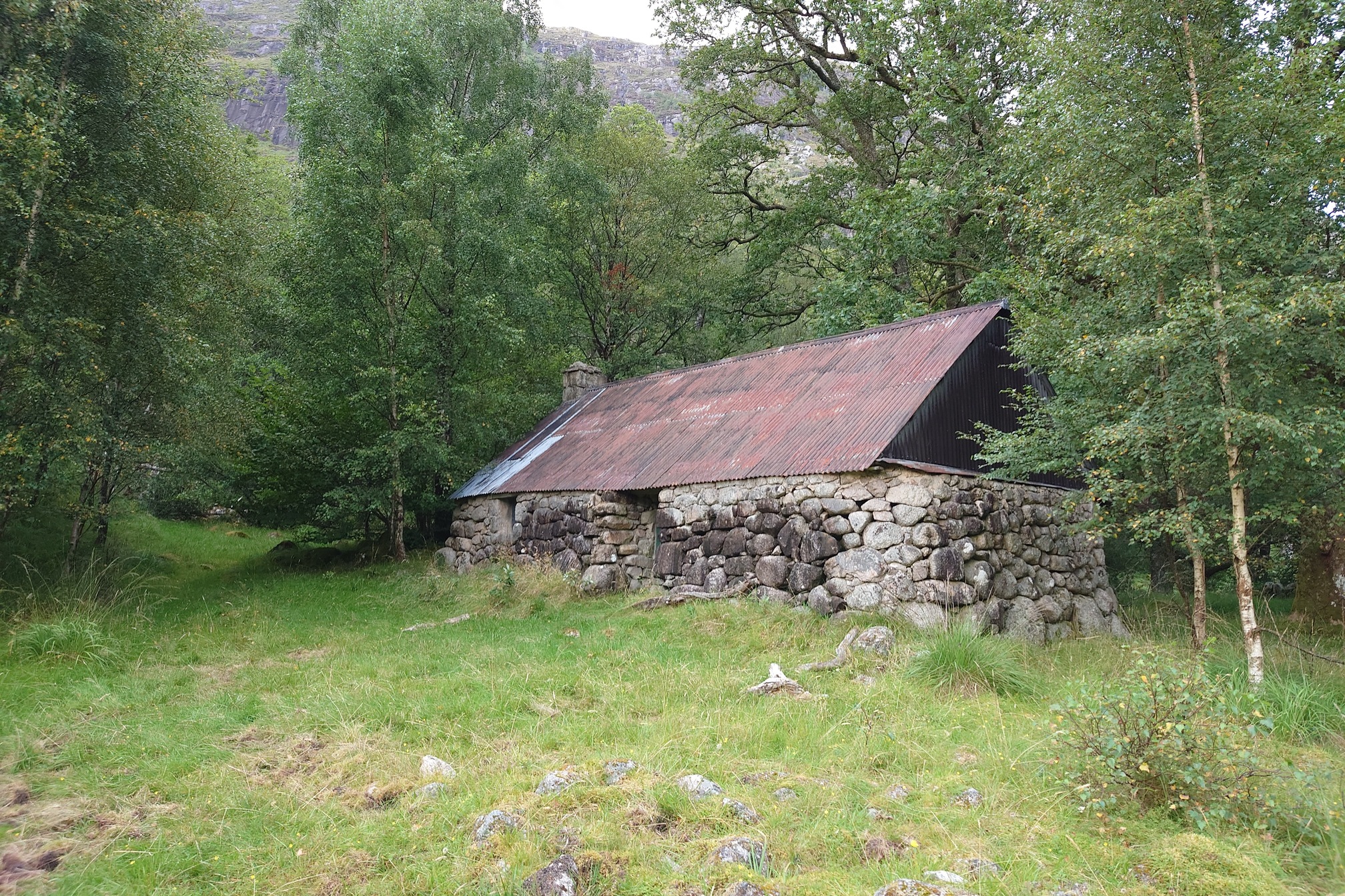
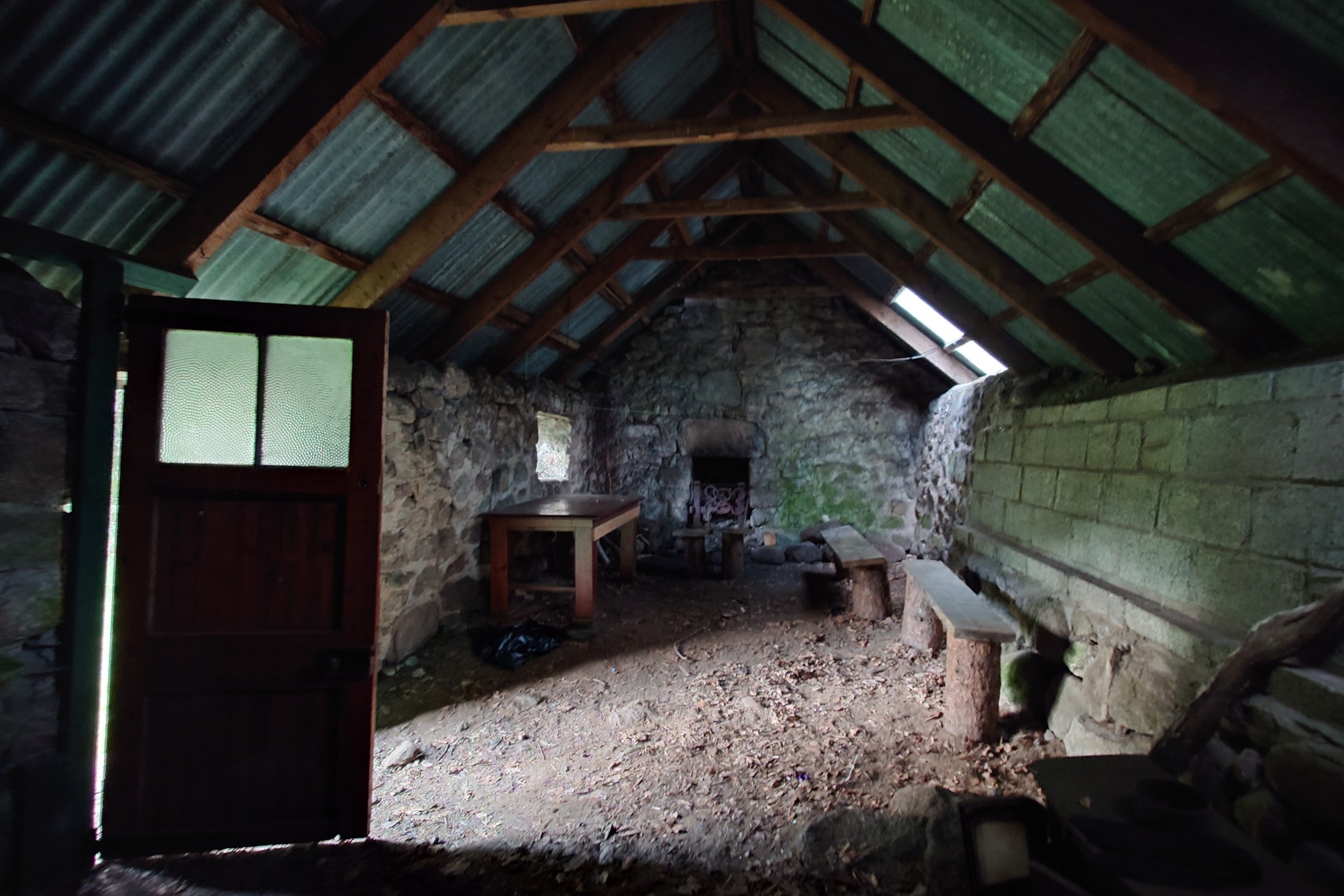
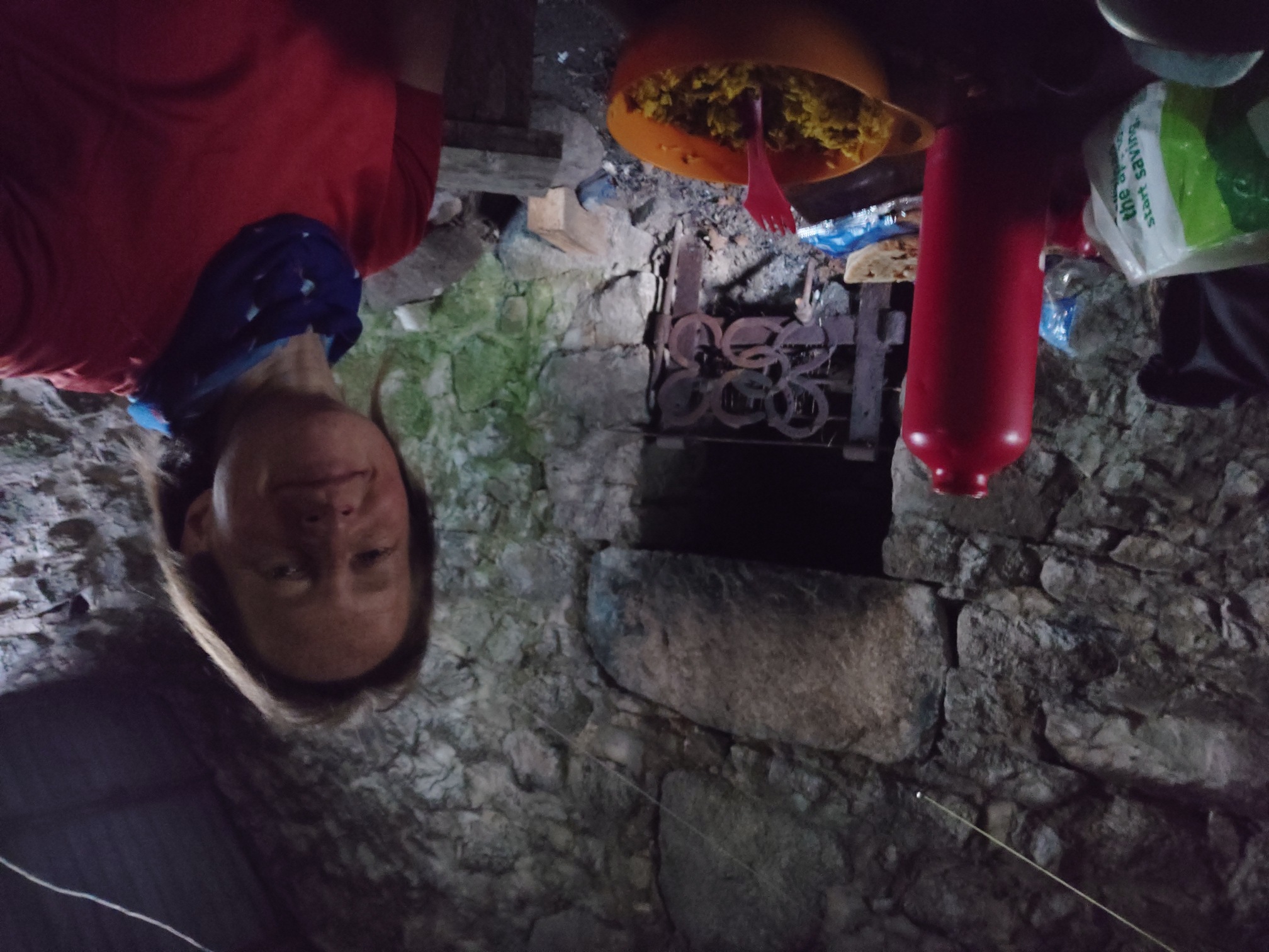
Finally I came to Narrachan, I had a feeling there was a bothy here but there was very little online about it, just a reference to it on a few old forum posts and a single youtube video, which is a contrast to most bothies that are all over instagram and tiktok. It looked pretty much the same as it does in that video, a rough building with a dirt floor, a table, a few benches and a fireplace.
I dithered about staying here, or camping outside; was someone going to come along in the night and wake me up? Was the bothy full of ticks? I went outside to get water and was immediately swarmed by midges and biting clegs. I chose the bothy.
It turned into a nice evening, but the flies made it difficult to spend any time outside. I used the footprint of my tent and slept on my sleeping rolls on that, but I’d forgotten my earplugs so every small leaf brushing against the tin roof woke me up, until I fashioned some earplugs out of tissue. Then I slept very well.
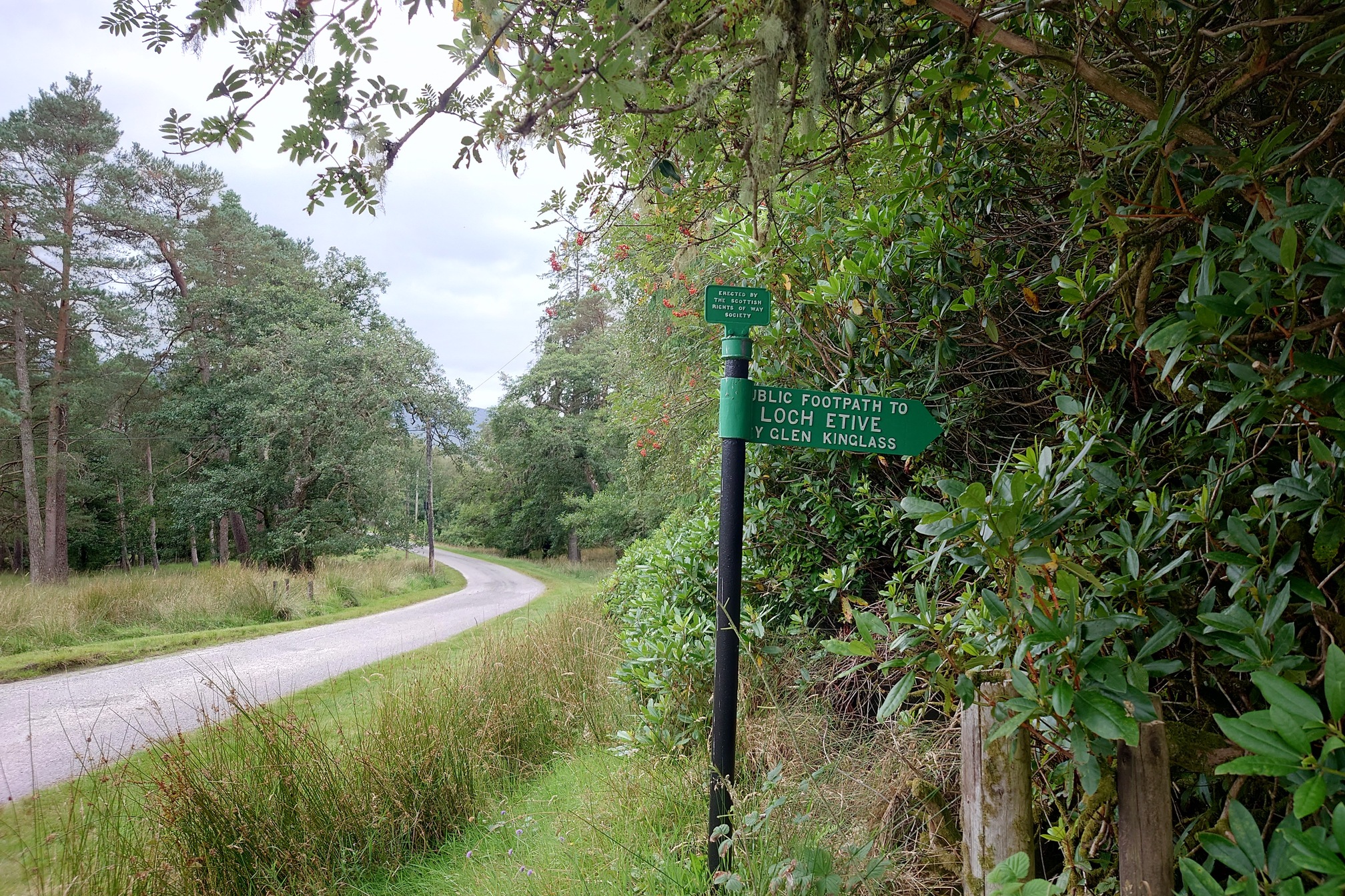
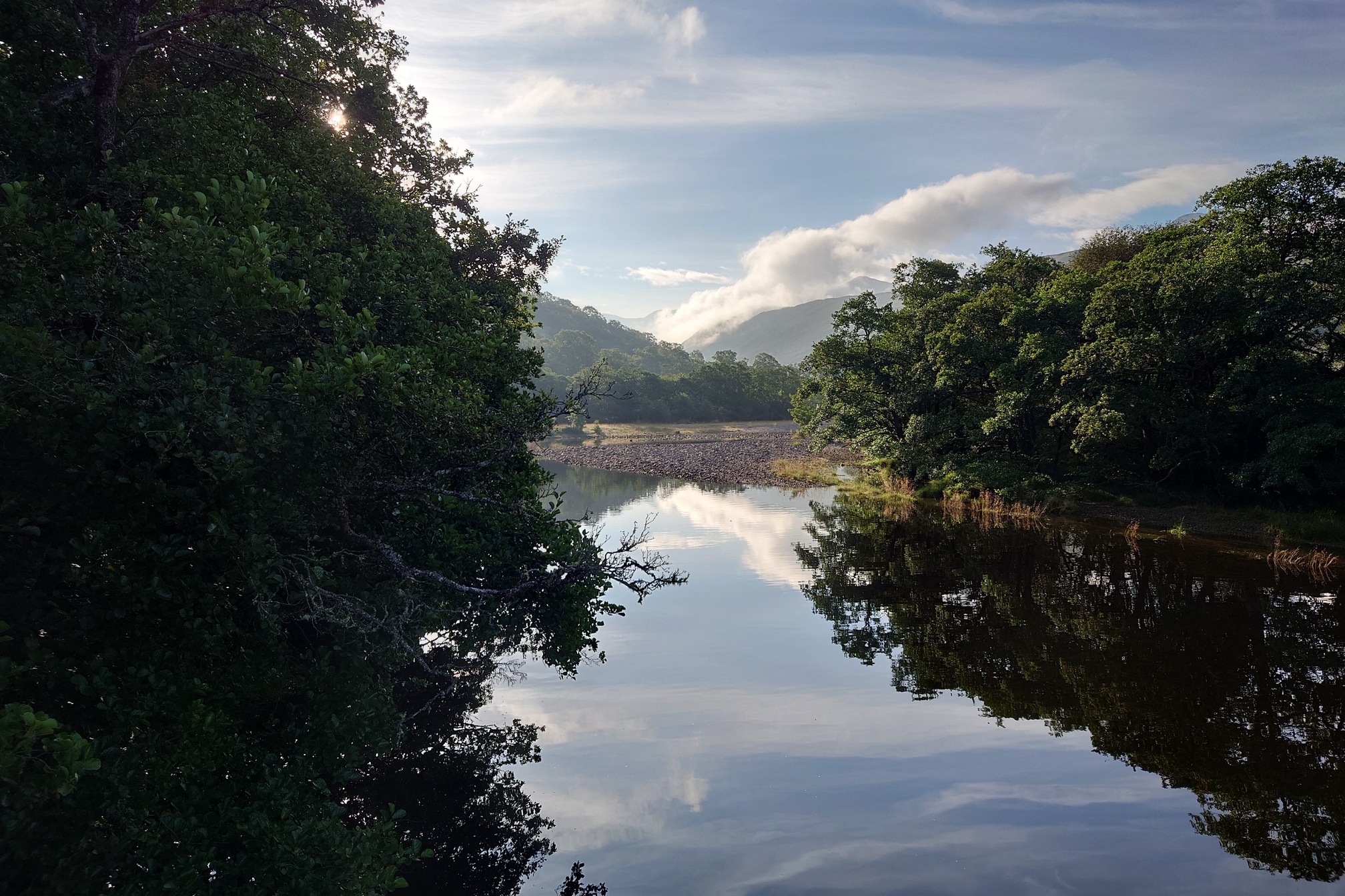
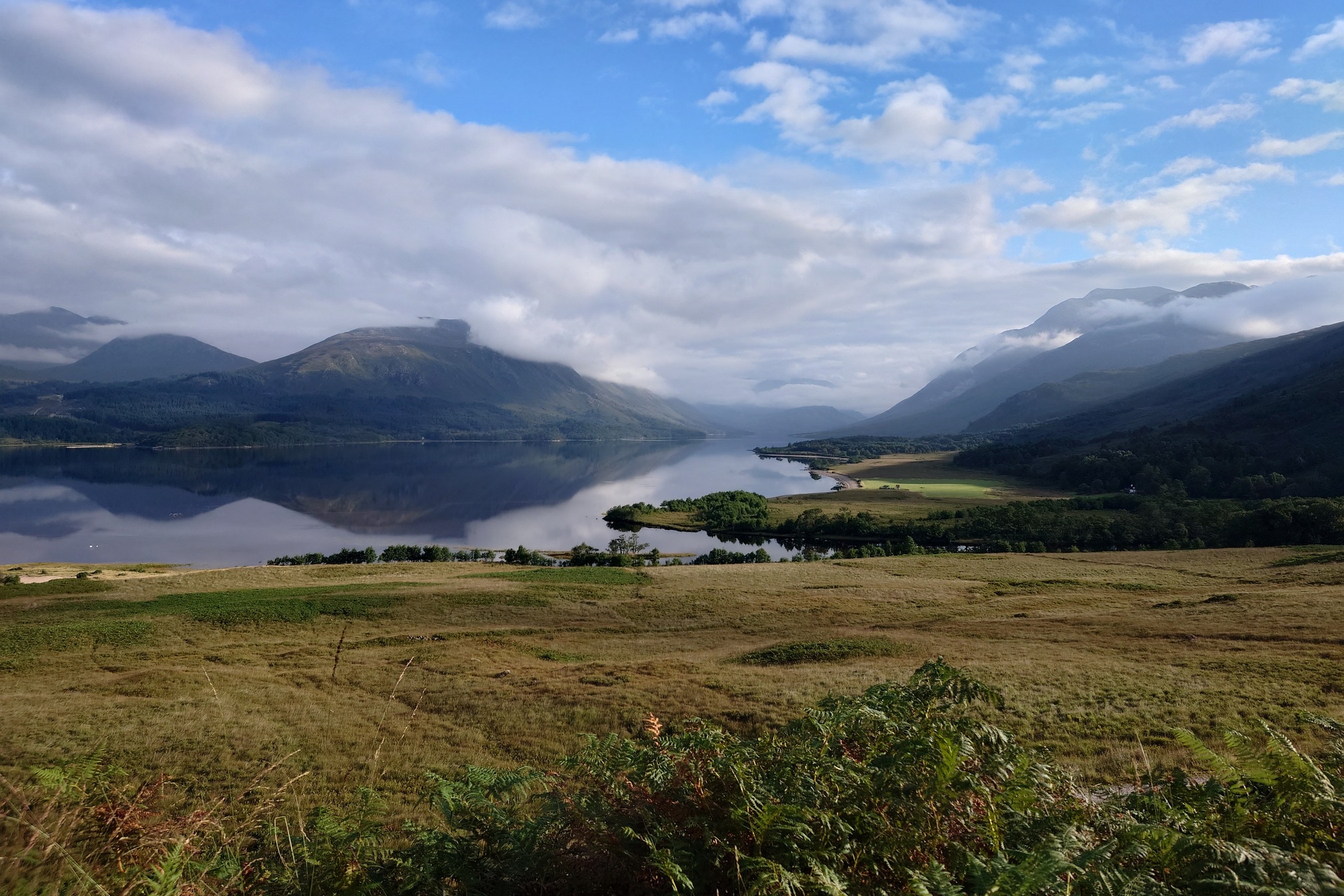
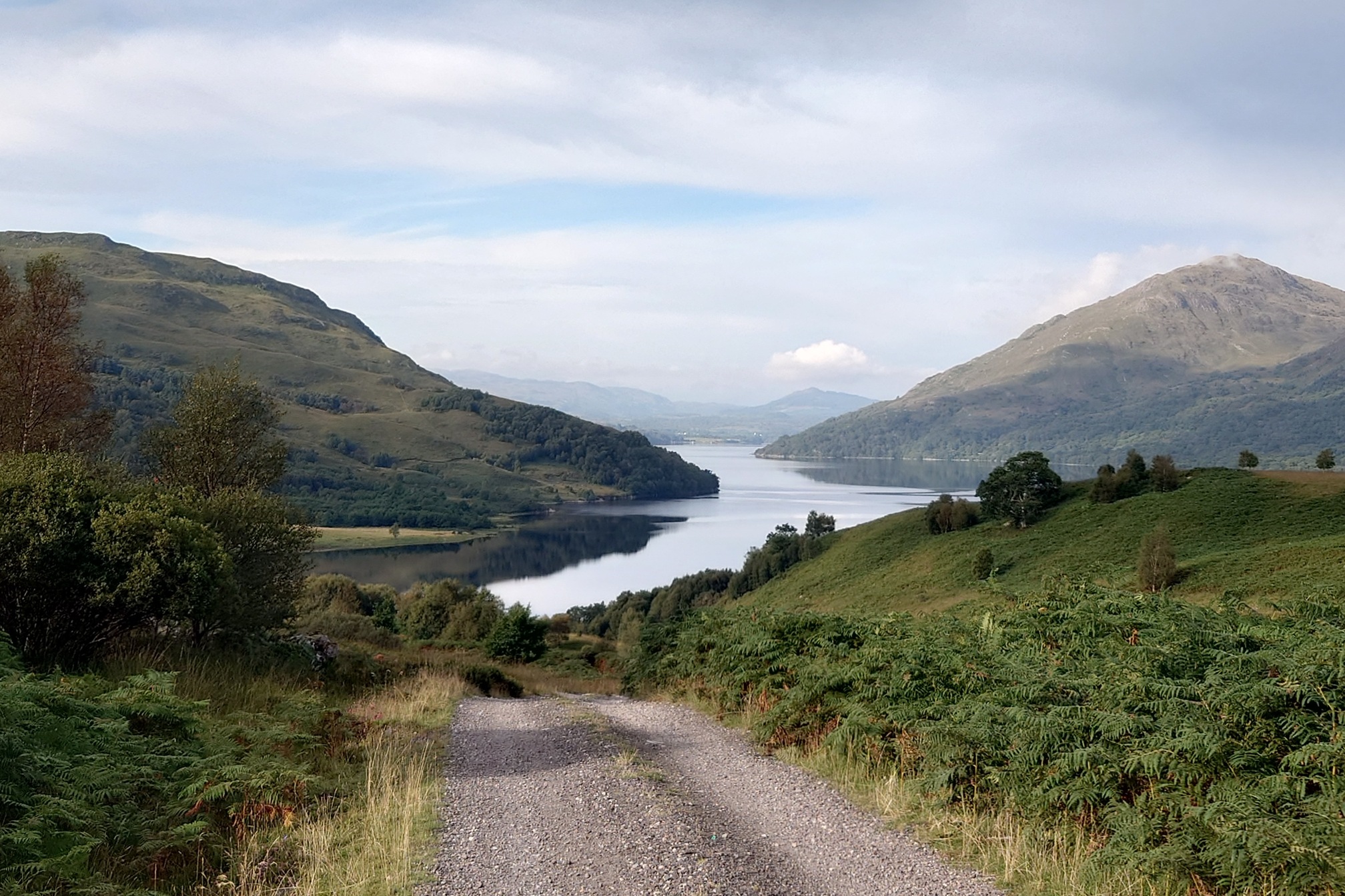
The next morning was a lovely and very easy 17km down to Taynuilt, first 5km along Glen Kinglass, then road walking above beautiful Loch Etive.
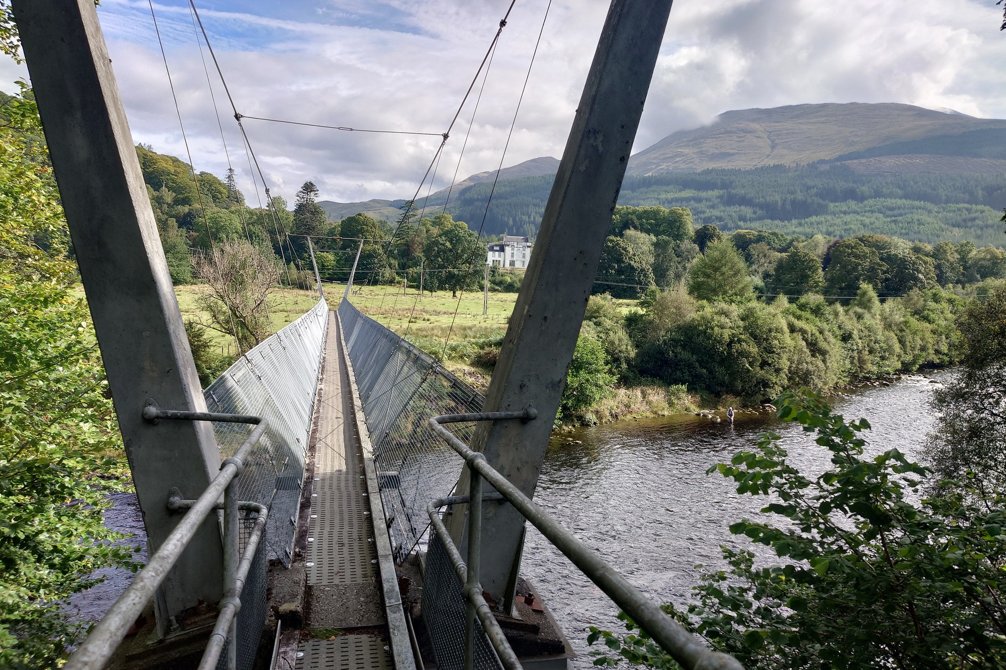
Here a cyclist passed me, the first person (other than the car driver) I’d seen since leaving the West Highland Way yesterday. The road led down to Inverawe, and one final wobbly bridge to cross the River Awe. This time there was no wading to avoid it.
I arrived at Taynuilt station with a good 40 minutes to go before the train back to Crianlarich, time to eat a sandwich and a nice cold fizzy water from the Post Office.
A really nice, long walk, with no real steep or challenging bits, and a very easy route to follow. For me I think the broad estate roads spoil it, because they make it feel less remote than it is? Once I got home, I spent my evening picking over 50 ticks off me, thanks to Narrachan Bothy. Great.